Property Information Report

5 Ashendon Close
Droitwich, WR9 7DA
Estimated Value - £415,089
Estimated Rental Value - £1,300 PCM

Key Facts
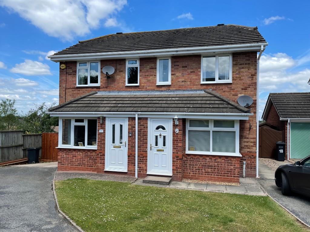
Properties To Let in the Area
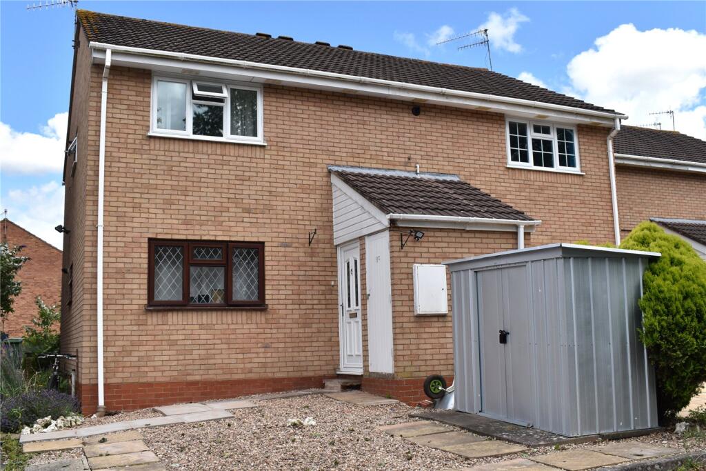
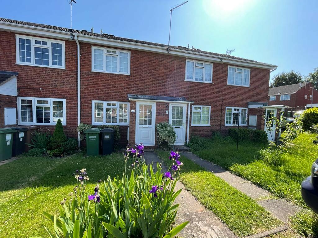
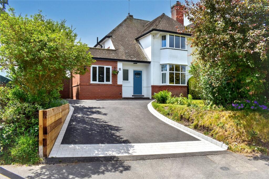
Henley Drive
0.21 km away
Henley Drive
0.22 km away
HENLEY DRIVE
0.27 km away
Maytree Hill
0.29 km away
Clayhall Road
0.40 km away
Everton House
0.49 km away
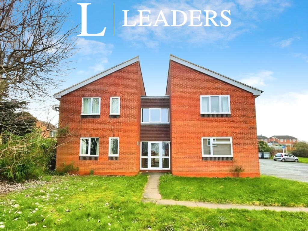
About Us

Memorable for the right reasons.
We do more than sell and let houses here. We love everything Worcestershire stands for too. It’ll rub off on you. You’ll see.
Find out more at Find out more at our website
Title Plan
Title Information
Details provided by the Land Registry
- Title Number
- HW157675
- Plot Size
- 0.12 acres (470 sq metres)
Street View
House Prices in Wychavon
Last 12 months
-
Average Price Change
£1,218
Increased by 0%
-
Detached Price Change
£625
Decreased by 0%
Average House Prices
Last 12 months for all property types.
Since - April 2020
-
Average Price Change
£57,513
Increased by 22%
-
Detached Price Change
£80,621
Increased by 21%
Average House Prices
Since 2020 for all property types
EPC

EPC Information
Details taken from the EPC register
- Date
- 2018-12-11
- Valid Until
- 2028-12-10
- Energy Efficiency - Current
- 66
- Energy Efficiency - Potential
- 80
- Environmental Impact - Current
- 59
- Environmental Impact - Potential
- 76
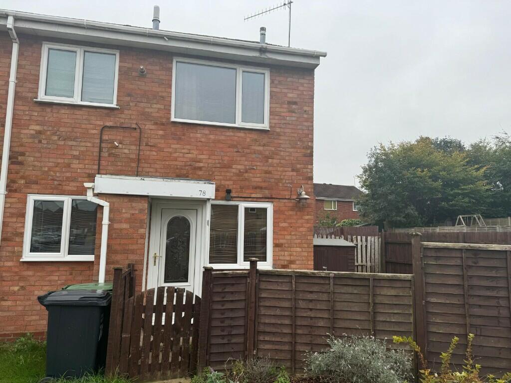
Properties For Sale in the Area
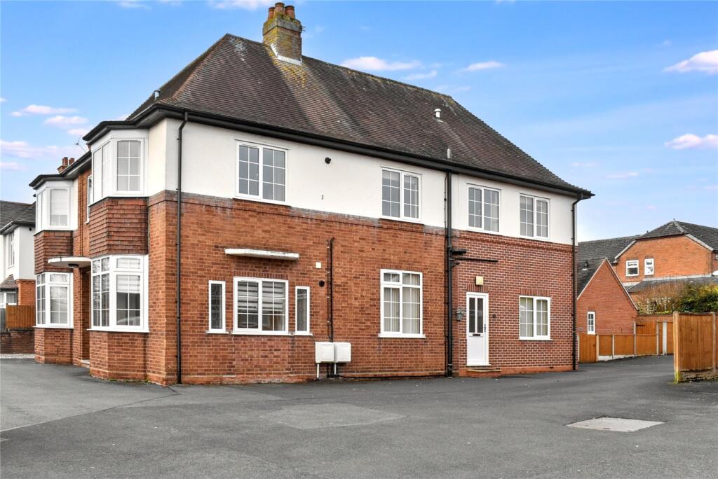
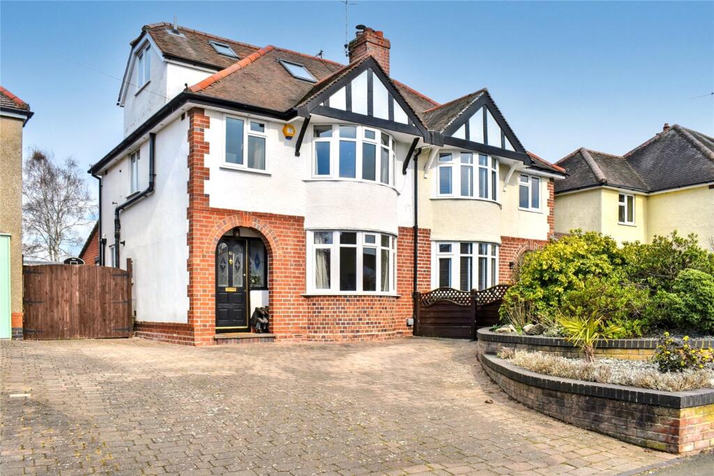
Windsor Road
69 metres away
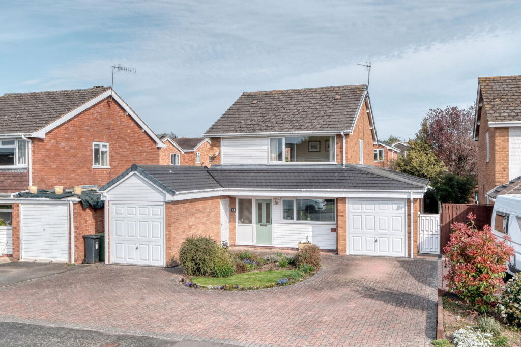
Oakland Avenue
0.10 km away
Oakland Avenue
0.11 km away
Oakland Avenue
0.14 km away
Henley Drive
0.22 km away
Princes Avenue
0.22 km away
Recently Sold Properties in the Area
| Address | Property Type | Distance | Price | Completed |
|---|---|---|---|---|
|
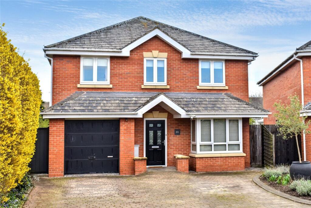
13 Windsor Road Droitwich, WR9 7BZ |
Detached | 71 metres away | £467,500 | 11 months ago |
|
9 The Parklands Droitwich, WR9 7DG |
Semi-Detached | 0.13 km away | £290,000 | 10 months ago |
|
22 Newland Road Droitwich, WR9 7AF |
Semi-Detached | 0.16 km away | £350,000 | 3 months ago |
|
14 Kingston Close Droitwich, WR9 7RY |
Semi-Detached | 0.16 km away | £255,000 | 11 months ago |
|
24 Kingston Close Droitwich, WR9 7RY |
Semi-Detached | 0.17 km away | £236,000 | 7 months ago |
|
43 Brantwood Road Droitwich, WR9 7RR |
Detached | 0.23 km away | £340,000 | 5 months ago |
|
29 Princes Avenue Droitwich, WR9 7DE |
Terraced | 0.24 km away | £242,000 | 4 months ago |
|
72 Henley Drive Droitwich, WR9 7RX |
Terraced | 0.24 km away | £156,500 | 6 months ago |
|
4 Newland Road Droitwich, WR9 7AF |
Semi-Detached | 0.24 km away | £330,000 | 3 months ago |
|
42 York Avenue Droitwich, WR9 7DQ |
Detached | 0.25 km away | £380,000 | 6 months ago |
Schools
| Name | Type | Postcode | Distance | Rating |
|---|---|---|---|---|
| St Peter's Droitwich CofE Academy | Primary | WR9 7AN | 0.67 km | Good |
| Witton Middle School | Primary, Secondary | WR9 8BD | 0.71 km | Good |
| Chawson First School | Nursery, Primary | WR9 8BW | 0.89 km | Good |
| St Joseph's Catholic Primary School | Nursery, Primary | WR9 0RY | 1.36 km | Not rated |
| Westacre Middle School | Primary, Secondary | WR9 0AA | 1.40 km | Good |
Transport
Bus Stops & Stations
Details provided by Department for Transport
| Name | Distance |
|---|---|
| Chestnut Spinney, Primsland Way | 0.22 km |
| Oakland Avenue | 0.22 km |
| Primsland Fields, Primsland Way | 0.27 km |
| The Oaklands, Worcester Road | 0.45 km |
| Spring Meadow Inn, Primsland Way | 0.46 km |
Train Stations
Details provided by Department for Transport
| Name | Distance |
|---|---|
| Droitwich Spa Rail Station | 1.47 km |
Nearest Motorway
Details provided by Department for Transport
| Name | Distance |
|---|---|
| M5 | 4.03 km |
Coverage
- Average Broadband Speed:
-
13mb Basic
-
55mb Superfast
-
2300mb Ultrafast
-
2300mb Overall
- Mobile Coverage:
-
EEOkay
-
O2Good
-
ThreeOkay
-
VodafoneOkay
Important Notice - This report is intended for general informational purposes only and should act only as a guide. The report is produced automatically on behalf of Nicol & Co - Nicol & Co Worcestershire by Street Insights, a product of Street Systems Ltd. Street Systems maintains and aggregates data from multiple public data sources and whilst every effort is made to keep information up to date and accurate, we make no representations or warranties of any kind about the accuracy, reliability or completeness of the information contained within this report for any purpose. Any reliance you place on the data contained within this report is strictly at your own risk. In no event will Nicol & Co - Nicol & Co Worcestershire or Street Systems Ltd be liable for any loss or damage including without limitation, indirect or consequential loss or damage, or any loss or damage whatsoever arising from loss of data or profits arising out of, or in connection with, the use of this report.
This report contains public sector information licensed under the Open Government License v3.0
Transaction data and HPI data is produced by HM Land Registry. Crown copyright and database rights 2025