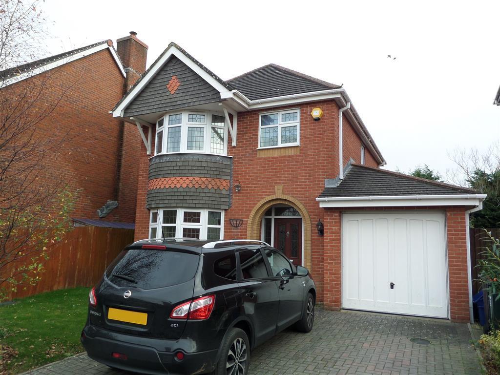
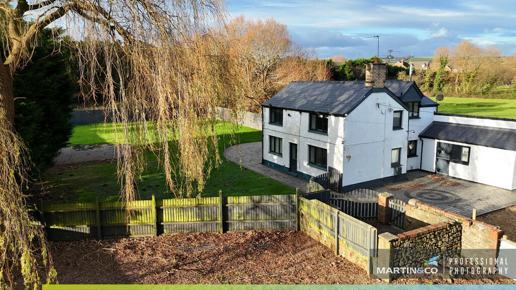
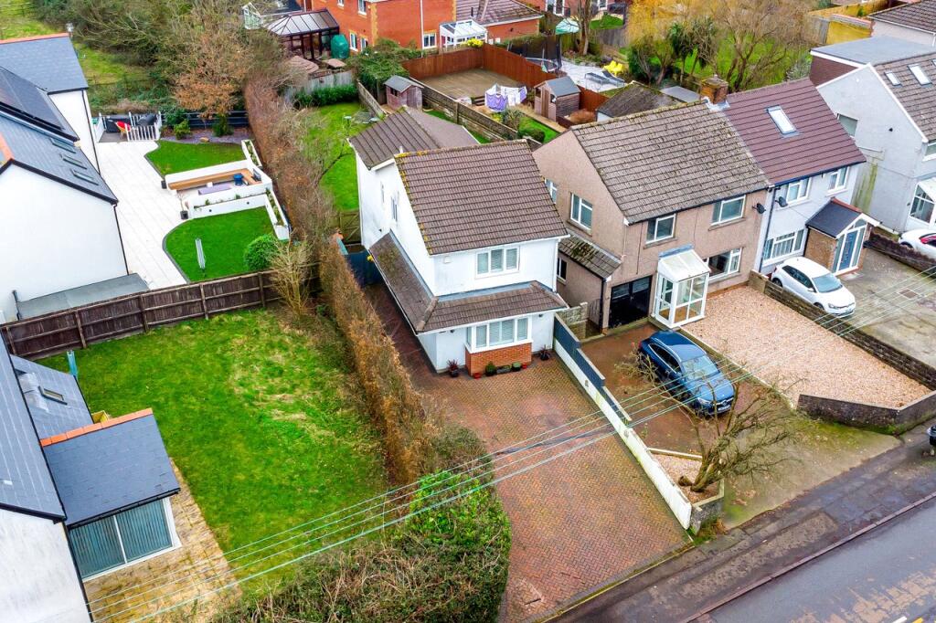
Property Information Report
6 Cambrian Way
Marshfield, Cardiff, CF3 2WB
Estimated Rental Value - £1,600 PCM
Last Sold - Mar, 2025

Properties To Let in the Area
Cambrian Way
41 metres away
Pentwyn Terrace
0.44 km away
The Shires
0.69 km away
Key Facts
About Us
An Agent for LIfe
Our transformative approach is built on everything we believe estate agency should be. We offer you an Agent for Life: Your trusted advisor whenever you need help with property-related matters because we are known for our genuine care for helping people with their next move.
Find out more at Number One Real Estate
Title Plan
 Contains OS data © Crown copyright 2025
Title Information
Details provided by the Land Registry
- Title Number
- CYM271403
- Plot Size
- 0.18 acres (740 sq metres)
Street View
House Prices in Newport
Last 12 months
-
Average Price Change
£14,063
Increased by 7%
-
Detached Price Change
£22,829
Increased by 6%
Average House Prices
Last 12 months for all property types.
Since Last Sale - 17th March 2025
-
Average Price Change
£46,493
Increased by 26%
-
Detached Price Change
£74,695
Increased by 24%
Average House Prices
Since 2020 for all property types
EPC

EPC Information
Details taken from the EPC register
- Date
- 2022-10-20
- Valid Until
- 2032-10-19
- Energy Efficiency - Current
- 73
- Energy Efficiency - Potential
- 85
- Environmental Impact - Current
- 70
- Environmental Impact - Potential
- 82
Properties For Sale in the Area
Cambrian Way
Greenfield Cottage
76 metres away
Cambrian Drive
0.12 km away
Cambrian Drive
0.14 km away
Cambrian Drive
0.15 km away
Marshfield Road
0.21 km away
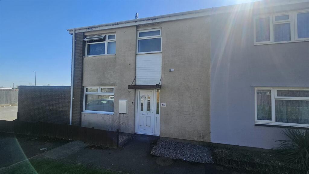
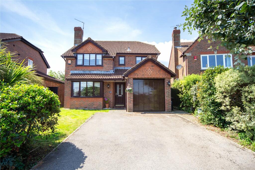
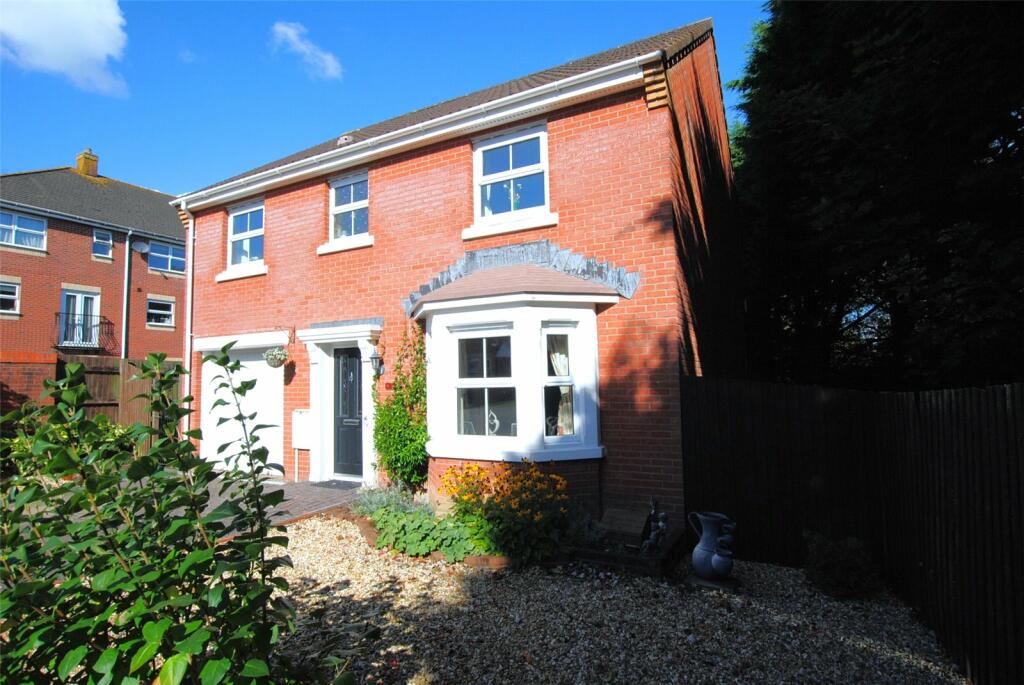
Recently Sold Properties in the Area
| Address | Property Type | Distance | Price | Completed |
|---|---|---|---|---|
|
6 Cambrian Way Marshfield, Cardiff, CF3 2WB |
Detached | away | £400,000 | 2 months ago |
|
4 Cambrian Way Marshfield, Cardiff, CF3 2WB |
Detached | 28 metres away | £395,000 | 9 months ago |
|
3 Cambrian Close Marshfield, Cardiff, CF3 2TB |
Detached | 72 metres away | £380,000 | 5 months ago |
|
38 Cambrian Way Marshfield, Cardiff, CF3 2WB |
Detached | 0.16 km away | £560,000 | 9 months ago |
|
14 Pentwyn Terrace Marshfield, Cardiff, CF3 2TW |
Terraced | 0.27 km away | £215,000 | 7 months ago |
|
30 Marysfield Close Marshfield, Cardiff, CF3 2TY |
Semi-Detached | 0.30 km away | £217,500 | 7 months ago |
|
182 Marshfield Road Marshfield, Cardiff, CF3 2TU |
Semi-Detached | 0.33 km away | £403,500 | 6 months ago |
|
25 Pentwyn Terrace Marshfield, Cardiff, CF3 2TW |
Terraced | 0.37 km away | £220,000 | 7 months ago |
|
43 Pentwyn Terrace Marshfield, Cardiff, CF3 2UL |
Terraced | 0.41 km away | £195,000 | 6 months ago |
|
1 The Shires Marshfield, Cardiff, CF3 2AW |
Detached | 0.76 km away | £475,000 | 8 months ago |
Schools
| Name | Type | Postcode | Distance | Rating |
|---|---|---|---|---|
| Marshfield Primary School | Nursery, Primary | CF3 2UW | 1.26 km | Not rated |
| Willowbrook Primary School | Nursery, Primary | CF3 0ST | 2.32 km | Not rated |
| Bishop Childs C/W Primary | Primary | CF3 0AY | 2.85 km | Not rated |
| Meadowlane Primary School | Nursery, Primary | CF3 0JZ | 2.95 km | Not rated |
| St John's College | Independent | CF3 5YX | 3.43 km | Not rated |
Transport
Bus Stops & Stations
Details provided by Department for Transport
| Name | Distance |
|---|---|
| Pentwyn Terrace, Marshfield Road | 0.20 km |
| Marshfield Stores, Marshfield Road | 0.24 km |
| Oakfields, Marshfield Road | 0.39 km |
| The Shires, Marshfield Road | 0.69 km |
| Sandy Lane Farm, Marshfield Road | 1.03 km |
Train Stations
Details provided by Department for Transport
| Name | Distance |
|---|
Nearest Motorway
Details provided by Department for Transport
| Name | Distance |
|---|---|
| M4 | 2.05 km |
Coverage
- Average Broadband Speed:
-
7mb Basic
-
60mb Superfast
-
60mb Overall
- Mobile Coverage:
-
EEPoor
-
O2Good
-
ThreeGood
-
VodafoneOkay
Important Notice - This report is intended for general informational purposes only and should act only as a guide. The report is produced automatically on behalf of Number One Real Estate - Kaite by Street Insights, a product of Street Systems Ltd. Street Systems maintains and aggregates data from multiple public data sources and whilst every effort is made to keep information up to date and accurate, we make no representations or warranties of any kind about the accuracy, reliability or completeness of the information contained within this report for any purpose. Any reliance you place on the data contained within this report is strictly at your own risk. In no event will Number One Real Estate - Kaite or Street Systems Ltd be liable for any loss or damage including without limitation, indirect or consequential loss or damage, or any loss or damage whatsoever arising from loss of data or profits arising out of, or in connection with, the use of this report.
This report contains public sector information licensed under the Open Government License v3.0
Transaction data and HPI data is produced by HM Land Registry. Crown copyright and database rights 2025