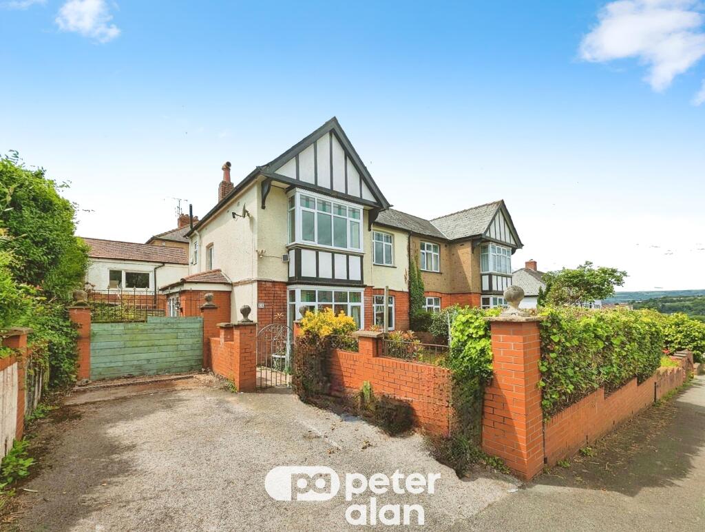
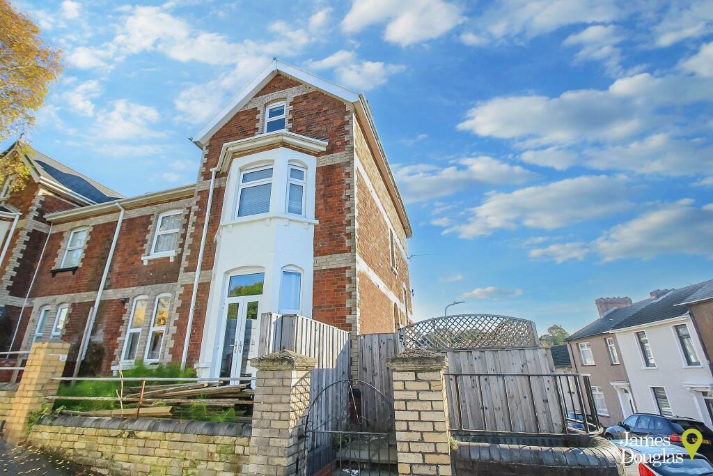
Property Information Report
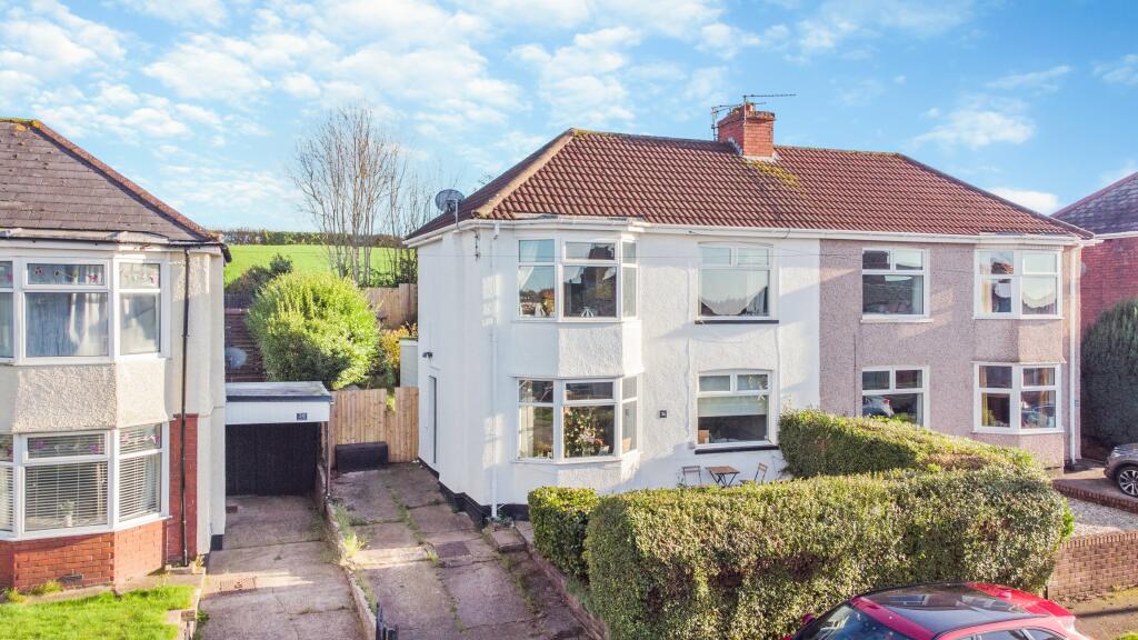
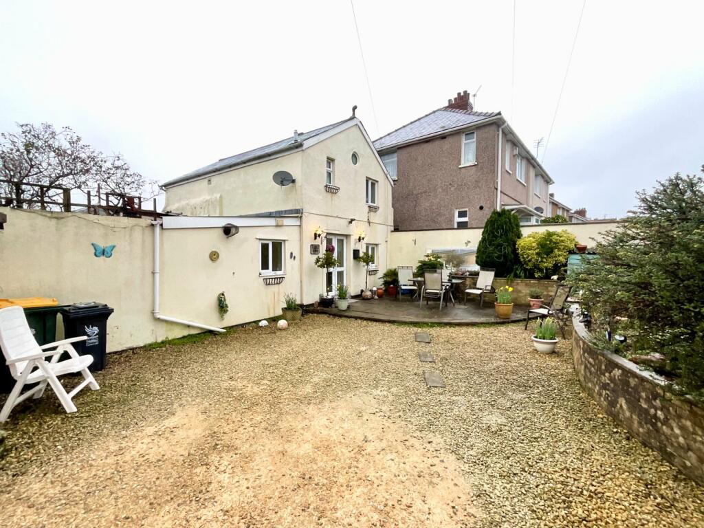
71 St. Julians Road
Newport, NP19 7RU
Estimated Rental Value - £1,500 PCM
Last Sold - Oct, 2022

Key Facts
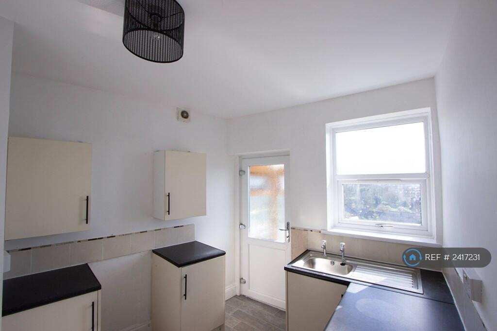
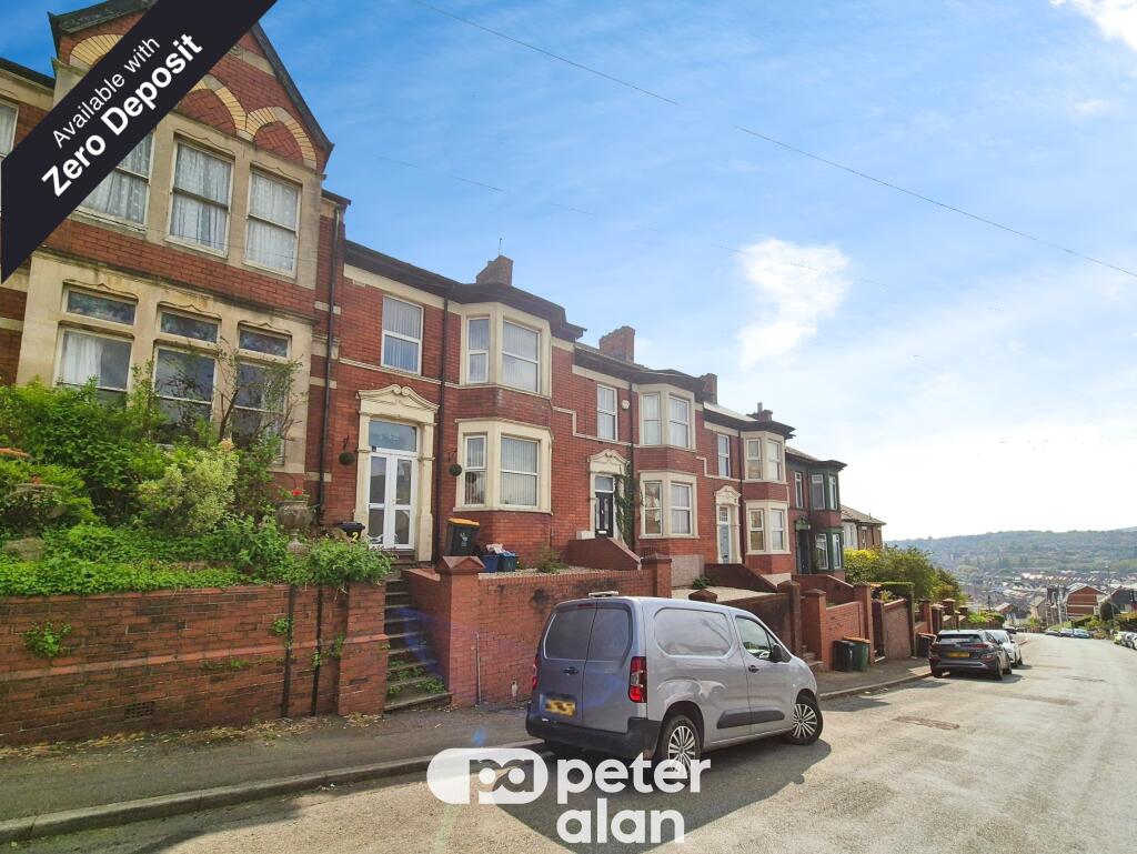
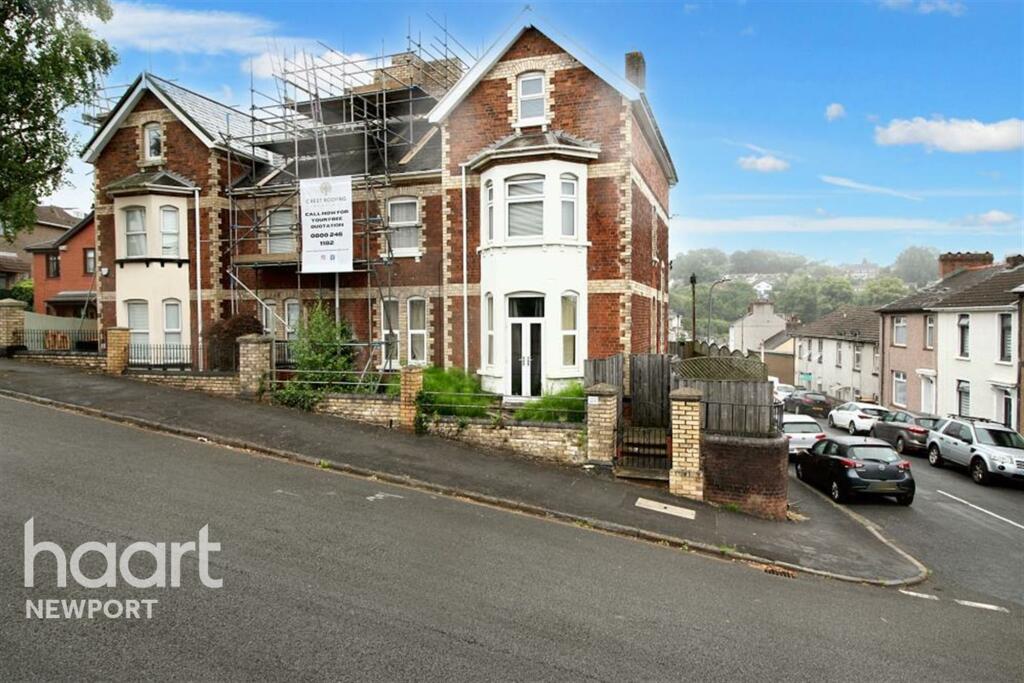
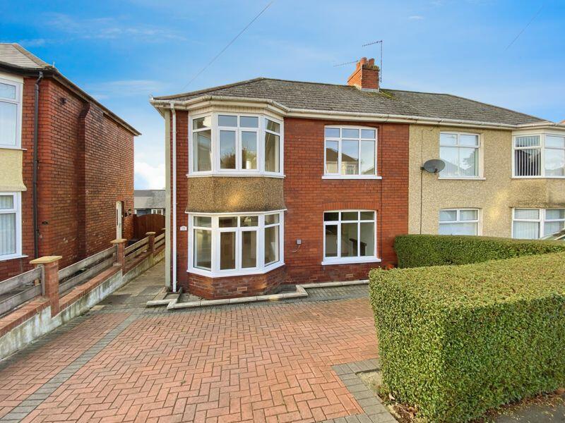
Properties To Let in the Area
St. Julians Road
0.17 km away
Christchurch Road
0.25 km away
Christchurch Road
0.27 km away
Elaine Crescent
0.29 km away
Victoria Avenue
0.30 km away
Victoria Avenue
0.30 km away
About Us
An Agent for LIfe
Our transformative approach is built on everything we believe estate agency should be. We offer you an Agent for Life: Your trusted advisor whenever you need help with property-related matters because we are known for our genuine care for helping people with their next move.
Find out more at Number One Real Estate
Title Plan
Title Information
Details provided by the Land Registry
- Title Number
- WA418445
- Plot Size
- 0.06 acres (261 sq metres)
Street View
House Prices in Newport
Last 12 months
-
Average Price Change
£11,466
Increased by 5%
-
Semi-Detached Price Change
£12,858
Increased by 6%
Average House Prices
Last 12 months for all property types.
Since Last Sale - 26th October 2022
-
Average Price Change
£6,705
Increased by 3%
-
Semi-Detached Price Change
£8,319
Increased by 4%
Average House Prices
Since last sale in 2022 for all property types
EPC

EPC Information
Details taken from the EPC register
- Date
- 2021-04-15
- Valid Until
- 2031-04-14
- Energy Efficiency - Current
- 70
- Energy Efficiency - Potential
- 77
- Environmental Impact - Current
- 64
- Environmental Impact - Potential
- 70
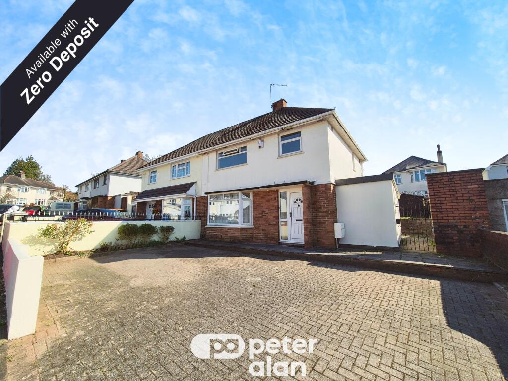
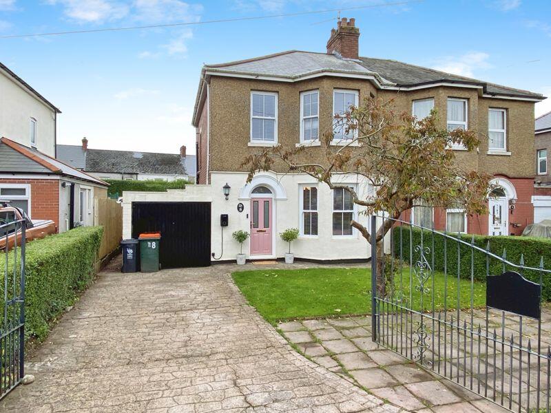
Properties For Sale in the Area
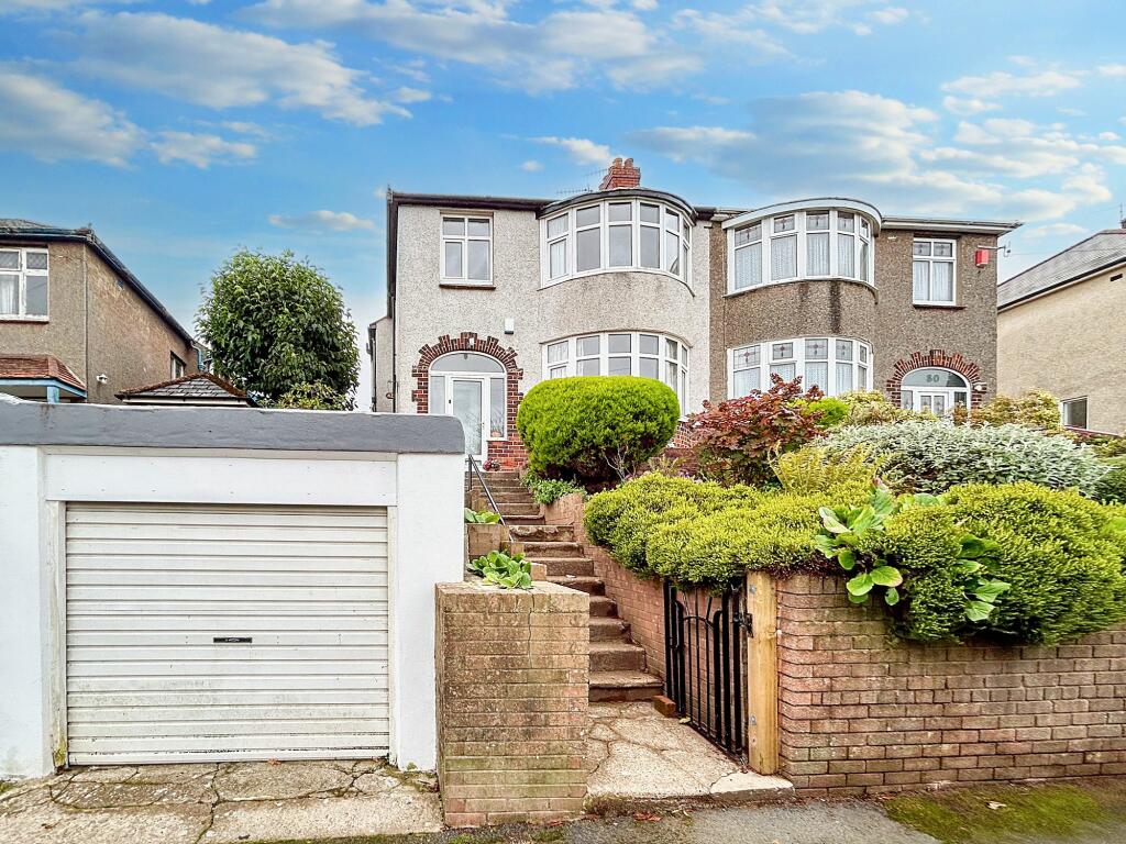
St. Julians Road
58 metres away
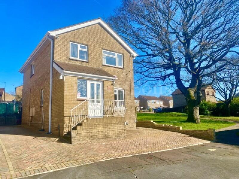
Shetland Close
0.16 km away
Cornwall Road
0.19 km away
Norfolk Road
0.19 km away
Stunning & Fully Renovated Throughout. Cornwall Road
0.20 km away
Hertford Place
0.21 km away
Recently Sold Properties in the Area
| Address | Property Type | Distance | Price | Completed |
|---|---|---|---|---|
|
49 Cornwall Road Newport, NP19 7SS |
Semi-Detached | 0.19 km away | £222,425 | 6 months ago |
|
1 Norfolk Road Newport, NP19 7SL |
Terraced | 0.19 km away | £210,000 | 6 months ago |
|
4 Norfolk Road Newport, NP19 7SL |
Semi-Detached | 0.19 km away | £280,000 | 7 months ago |
|
1 Shetland Close St. Julians, Newport, NP19 7TH |
Terraced | 0.19 km away | £155,000 | 5 months ago |
|
72 Christchurch Road Newport, NP19 7SP |
Terraced | 0.24 km away | £210,000 | 6 months ago |
|
111 Christchurch Road Newport, NP19 7SJ |
Terraced | 0.24 km away | £212,500 | 9 months ago |
|
53 Christchurch Road Newport, NP19 7SP |
Semi-Detached | 0.26 km away | £133,500 | 11 months ago |
|
48 Christchurch Road Newport, NP19 7SP |
Terraced | 0.26 km away | £240,000 | 9 months ago |
|
7 Bardsey Close St. Julians, Newport, NP19 7TE |
Terraced | 0.27 km away | £120,000 | 6 months ago |
|
27 Ronald Road Newport, NP19 7GE |
Terraced | 0.28 km away | £200,000 | 11 months ago |
Schools
| Name | Type | Postcode | Distance | Rating |
|---|---|---|---|---|
| St Julian's School | Secondary, Post 16 | NP19 7XU | 0.54 km | Not rated |
| St Josephs R.C. Jnr. & Infts | Primary | NP19 8FW | 0.59 km | Not rated |
| St. Julians Primary School | Nursery, Primary | NP19 7UB | 0.78 km | Not rated |
| Newport Nursery School | Nursery | NP19 7EJ | 0.83 km | Not rated |
| Ysgol Ty Monmouth | Independent | NP19 7EJ | 0.83 km | Not rated |
Transport
Bus Stops & Stations
Details provided by Department for Transport
| Name | Distance |
|---|---|
| St Georges Cresent, St Julians Road | 66 metres |
| Norfolk Road | 0.10 km |
| Victoria Avenue | 0.23 km |
| Ronald Road | 0.23 km |
| Merlin Crescent, Heather Road | 0.26 km |
Train Stations
Details provided by Department for Transport
| Name | Distance |
|---|---|
| Newport (S Wales) Rail Station | 1.87 km |
| Pye Corner Rail Station | 4.93 km |
Nearest Motorway
Details provided by Department for Transport
| Name | Distance |
|---|---|
| M4 | 0.85 km |
Coverage
- Average Broadband Speed:
-
5mb Basic
-
56mb Superfast
-
10000mb Ultrafast
-
10000mb Overall
- Mobile Coverage:
-
EEOkay
-
O2Good
-
ThreeGood
-
VodafoneOkay
Important Notice - This report is intended for general informational purposes only and should act only as a guide. The report is produced automatically on behalf of Number One Real Estate - Kaite by Street Insights, a product of Street Systems Ltd. Street Systems maintains and aggregates data from multiple public data sources and whilst every effort is made to keep information up to date and accurate, we make no representations or warranties of any kind about the accuracy, reliability or completeness of the information contained within this report for any purpose. Any reliance you place on the data contained within this report is strictly at your own risk. In no event will Number One Real Estate - Kaite or Street Systems Ltd be liable for any loss or damage including without limitation, indirect or consequential loss or damage, or any loss or damage whatsoever arising from loss of data or profits arising out of, or in connection with, the use of this report.
This report contains public sector information licensed under the Open Government License v3.0
Transaction data and HPI data is produced by HM Land Registry. Crown copyright and database rights 2025