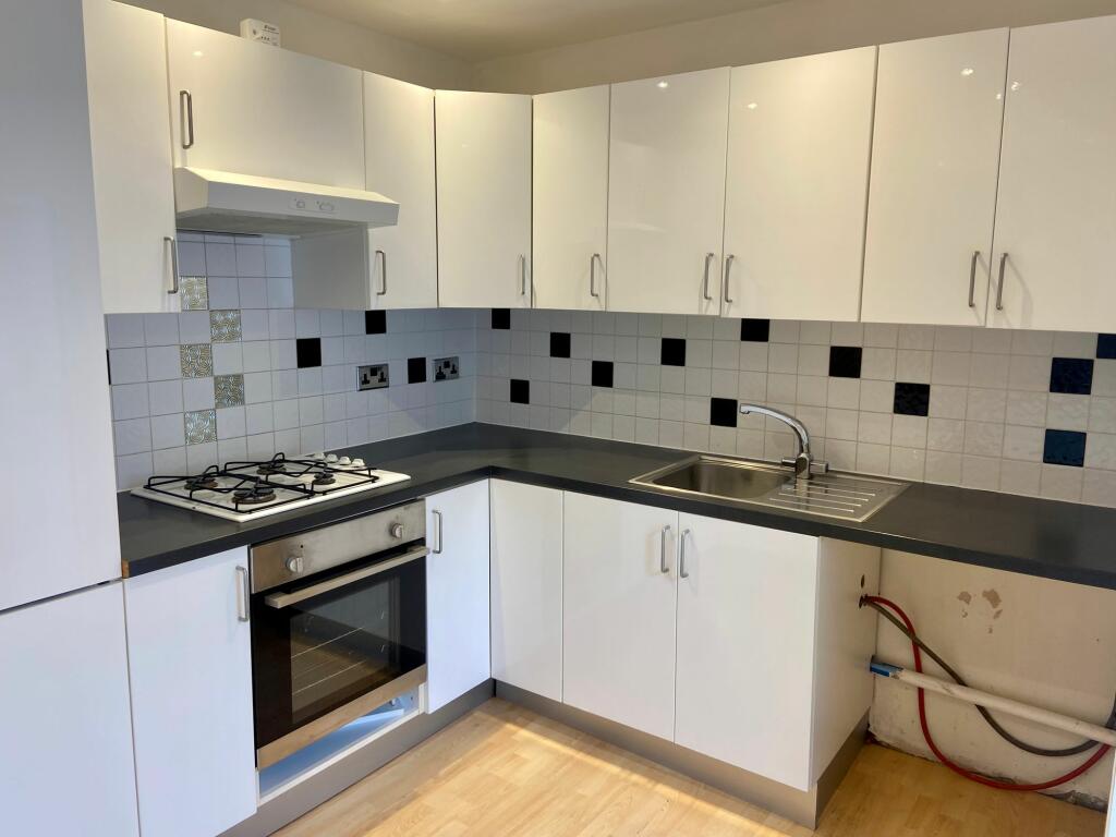
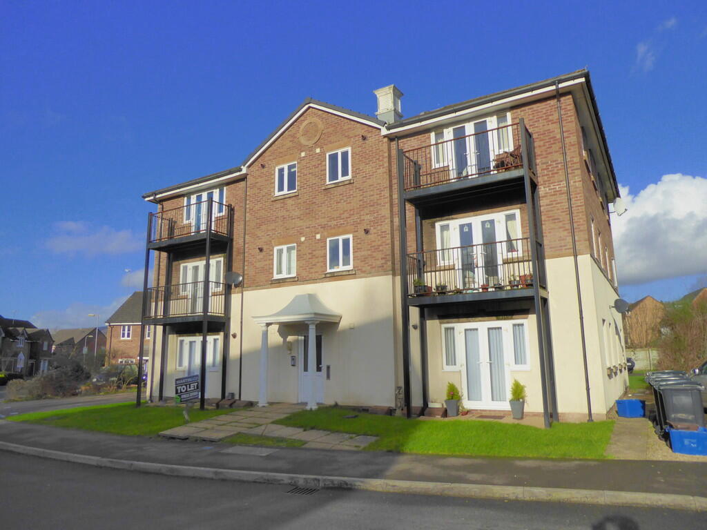
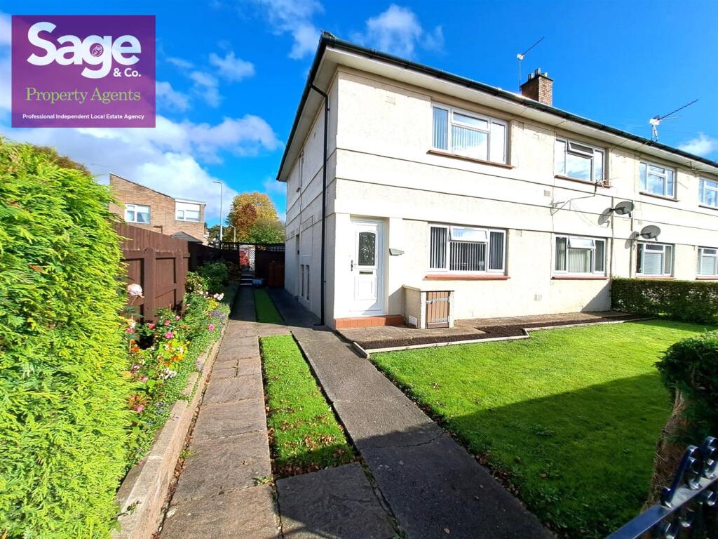
Property Information Report
47 Church Street
Rogerstone, Newport, NP10 9FP
Estimated Rental Value - £950 PCM
Last Sold - Jul, 2022

Key Facts
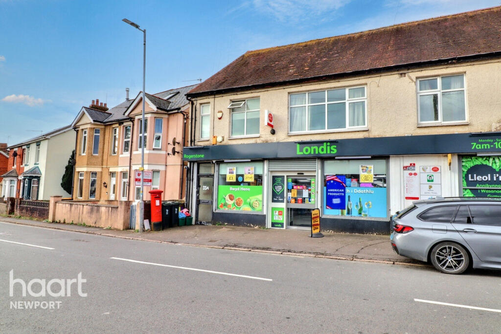
Properties To Let in the Area
St. Johns Crescent
0.15 km away
St Johns Crescent
0.18 km away

Fuscia Way
0.49 km away
Fuscia Way
0.53 km away
Park Way
0.54 km away
Fuscia Way
0.55 km away
About Us
An Agent for LIfe
Our transformative approach is built on everything we believe estate agency should be. We offer you an Agent for Life: Your trusted advisor whenever you need help with property-related matters because we are known for our genuine care for helping people with their next move.
Find out more at Number One Real Estate
Title Plan
Title Information
Details provided by the Land Registry
- Title Number
- WA953160
- Plot Size
- 0.06 acres (256 sq metres)
Street View
Videos & Virtual Tours
House Prices in Newport
Last 12 months
-
Average Price Change
£11,466
Increased by 5%
-
Terraced Price Change
£9,880
Increased by 6%
Average House Prices
Last 12 months for all property types.
Since Last Sale - 25th July 2022
-
Average Price Change
£8,157
Increased by 4%
-
Terraced Price Change
£6,674
Increased by 4%
Average House Prices
Since last sale in 2022 for all property types
EPC

EPC Information
Details taken from the EPC register
- Date
- 2022-05-05
- Valid Until
- 2032-05-04
- Energy Efficiency - Current
- 66
- Energy Efficiency - Potential
- 86
- Environmental Impact - Current
- 63
- Environmental Impact - Potential
- 85
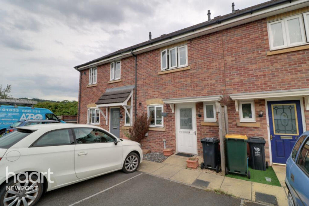
Properties For Sale in the Area
Church Street
46 metres away
Church Street
68 metres away
Park Avenue
96 metres away
Park Avenue
0.10 km away
Church Street
0.10 km away
St. Johns Crescent
0.15 km away
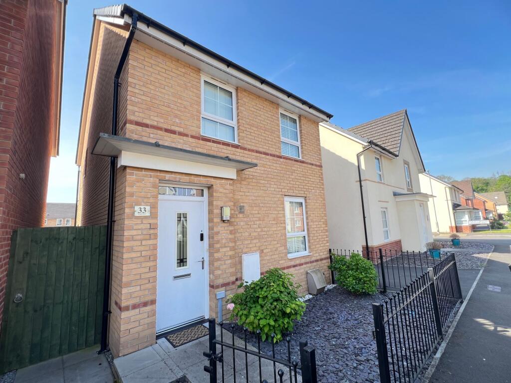
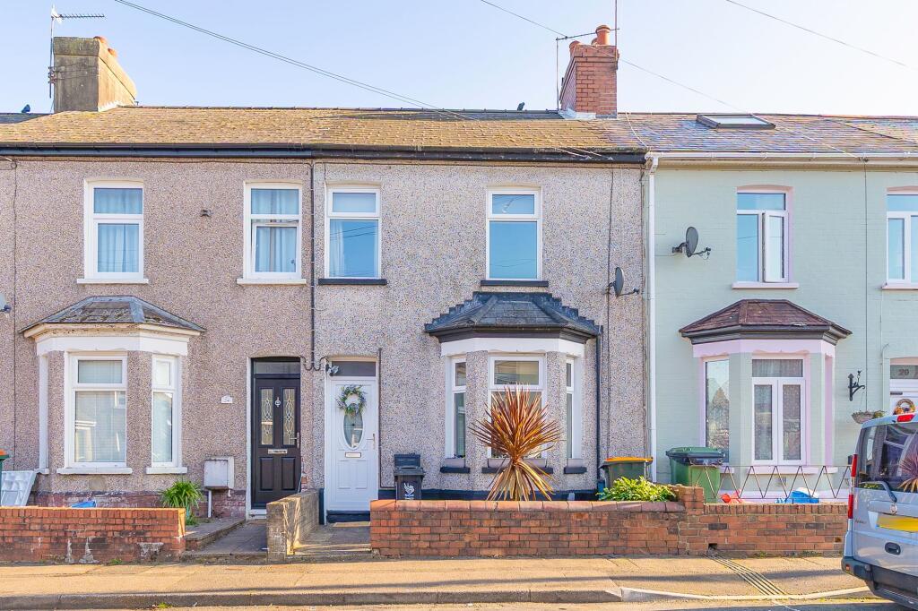
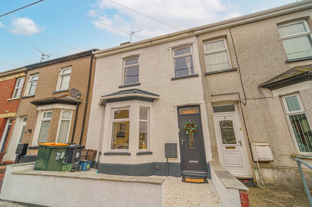
Recently Sold Properties in the Area
| Address | Property Type | Distance | Price | Completed |
|---|---|---|---|---|
|
39 Church Street Rogerstone, Newport, NP10 9FP |
Terraced | 29 metres away | £225,000 | 7 months ago |
|
Shampooches, 4 The Shops, The Uplands Rogerstone, Newport, NP10 9EZ |
Other | 0.18 km away | £70,000 | 10 months ago |
|
35 Lily Way Rogerstone, Newport, NP10 9LG |
Detached | 0.24 km away | £395,000 | 6 months ago |
|
31 Court Gardens Rogerstone, Newport, NP10 9FU |
Semi-Detached | 0.28 km away | £222,000 | 8 months ago |
|
17 Lupin Grove Rogerstone, Newport, NP10 9LJ |
Detached | 0.35 km away | £355,000 | 5 months ago |
|
51 Thornhill Way Rogerstone, Newport, NP10 9FS |
Detached | 0.35 km away | £310,127 | 5 months ago |
|
150 Cefn Road Rogerstone, Newport, NP10 9EX |
Detached | 0.36 km away | £410,000 | 8 months ago |
|
52 Welsh Oak Way Rogerstone, Newport, NP10 9NS |
Detached | 0.37 km away | £357,500 | 6 months ago |
|
138 Cefn Road Rogerstone, Newport, NP10 9EX |
Detached | 0.37 km away | £410,000 | 8 months ago |
|
15 Thornhill Way Rogerstone, Newport, NP10 9FS |
Semi-Detached | 0.38 km away | £270,000 | 8 months ago |
Schools
| Name | Type | Postcode | Distance | Rating |
|---|---|---|---|---|
| Jubilee Park Primary School | Nursery, Primary | NP10 9NL | 0.93 km | Not rated |
| Mount Pleasant Primary | Primary | NP10 0AB | 0.94 km | Not rated |
| Rogerstone Primary | Nursery, Primary | NP10 9YX | 1.02 km | Not rated |
| High Cross Primary School | Nursery, Primary | NP10 9AB | 1.59 km | Not rated |
| Risca Community Comprehensive | Secondary | NP11 6YY | 1.66 km | Not rated |
Transport
Bus Stops & Stations
Details provided by Department for Transport
| Name | Distance |
|---|---|
| St John'S Crescent, St John`s Crescent | 0.16 km |
| St Johns Crescent, St John`s Crescent | 0.17 km |
| Vicarage St John`S Crescent, St John`s Crescent | 0.28 km |
| Rogerstone Vicarage, Risca Road | 0.34 km |
| Uplands, Cefn Road | 0.43 km |
Train Stations
Details provided by Department for Transport
| Name | Distance |
|---|---|
| Rogerstone Rail Station | 0.44 km |
| Pye Corner Rail Station | 1.83 km |
| Risca & Pontymister Rail Station | 2.61 km |
| Newport (S Wales) Rail Station | 4.39 km |
Nearest Motorway
Details provided by Department for Transport
| Name | Distance |
|---|---|
| M4 | 2.02 km |
Coverage
- Average Broadband Speed:
-
8mb Basic
-
80mb Superfast
-
1800mb Ultrafast
-
1800mb Overall
- Mobile Coverage:
-
EEOkay
-
O2Good
-
ThreeGood
-
VodafoneOkay
Important Notice - This report is intended for general informational purposes only and should act only as a guide. The report is produced automatically on behalf of Number One Real Estate - Kaite by Street Insights, a product of Street Systems Ltd. Street Systems maintains and aggregates data from multiple public data sources and whilst every effort is made to keep information up to date and accurate, we make no representations or warranties of any kind about the accuracy, reliability or completeness of the information contained within this report for any purpose. Any reliance you place on the data contained within this report is strictly at your own risk. In no event will Number One Real Estate - Kaite or Street Systems Ltd be liable for any loss or damage including without limitation, indirect or consequential loss or damage, or any loss or damage whatsoever arising from loss of data or profits arising out of, or in connection with, the use of this report.
This report contains public sector information licensed under the Open Government License v3.0
Transaction data and HPI data is produced by HM Land Registry. Crown copyright and database rights 2025