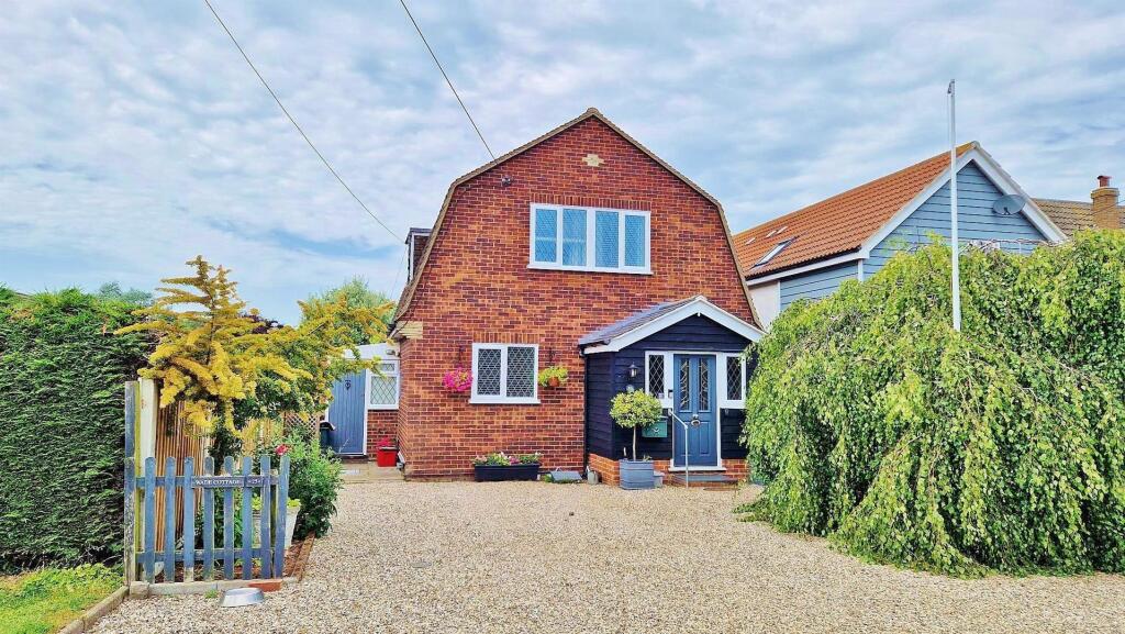
Property Information Report
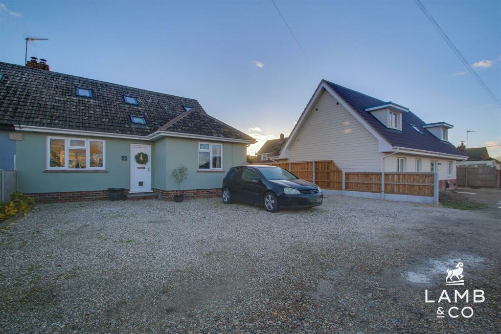
Brickfields, Quay Lane
Kirby-le-Soken, Frinton-On-Sea, CO13 0DP
Estimated Rental Value - £1,625 PCM
Last Sold - Aug, 2012


Key Facts
Properties To Let in the Area
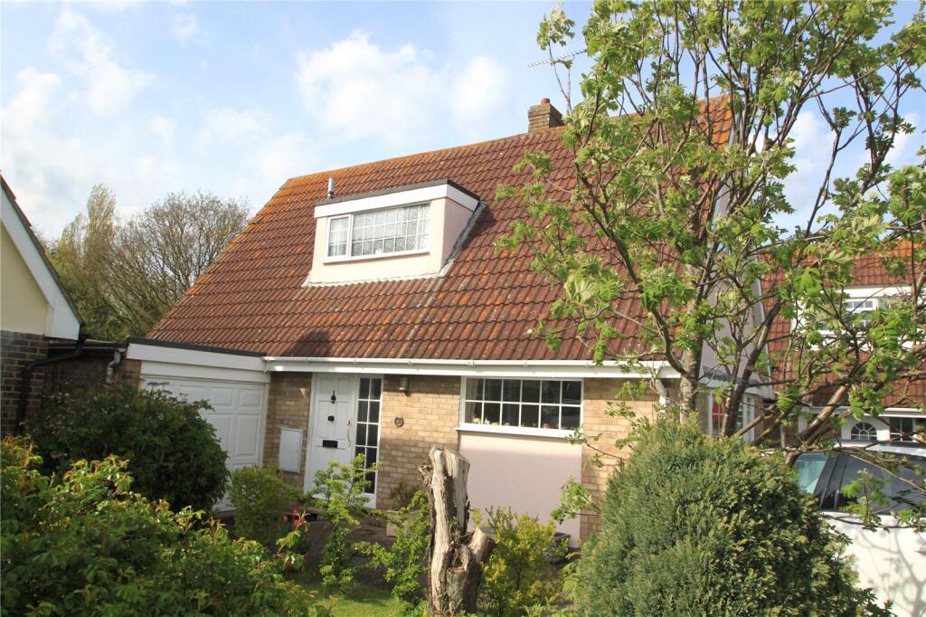
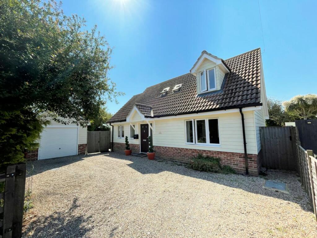
Percival Road
0.18 km away
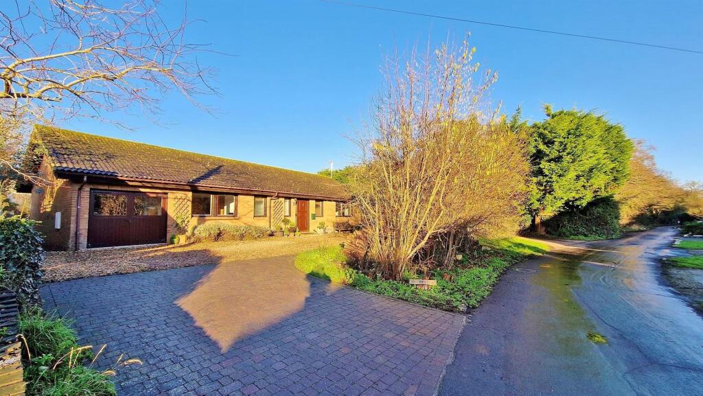
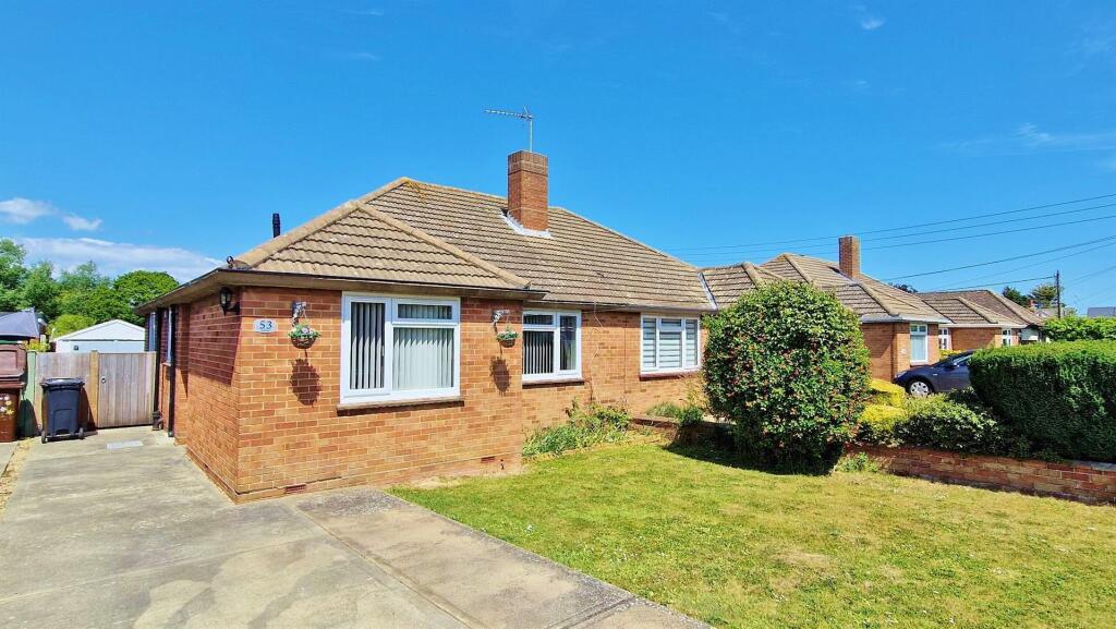
Briarfields
0.57 km away
About Us

Why choose us...
We are a local independent Estate Agency established in 2021 based in the Tendring area. We pride ourselves on delivering an exceptional customer experience and providing extensive marketing for the homes we advertise.
Title Plan
Title Information
Details provided by the Land Registry
- Title Number
- EX882491
- Plot Size
- 0.23 acres (941 sq metres)
Street View
Videos & Virtual Tours
House Prices in Tendring
Last 12 months
-
Average Price Change
£10,282
Increased by 4%
-
Detached Price Change
£15,530
Increased by 4%
Average House Prices
Last 12 months for all property types.
Since - March 2020
-
Average Price Change
£48,422
Increased by 22%
-
Detached Price Change
£68,816
Increased by 22%
Average House Prices
Since 2020 for all property types
EPC
Properties For Sale in the Area
Quay Lane
Quay Lane
61 metres away
Vista Avenue
99 metres away
PERCIVAL ROAD
0.18 km away
Walton Road
0.20 km away
WALTON ROAD
0.21 km away
Recently Sold Properties in the Area
| Address | Property Type | Distance | Price | Completed |
|---|---|---|---|---|
|
69 Walton Road Kirby-le-Soken, Frinton-On-Sea, CO13 0DF |
Detached | 0.21 km away | £320,000 | 7 months ago |
|
21 Pyesand Kirby-le-Soken, Frinton-On-Sea, CO13 0EA |
Detached | 0.33 km away | £280,000 | 8 months ago |
|
9 Horsey Road Kirby-le-Soken, Frinton-On-Sea, CO13 0DZ |
Detached | 0.43 km away | £275,000 | 7 months ago |
|
21 Dugmore Avenue Kirby-le-Soken, Frinton-On-Sea, CO13 0ED |
Detached | 0.46 km away | £315,000 | 4 months ago |
|
28 Dugmore Avenue Kirby-le-Soken, Frinton-On-Sea, CO13 0ED |
Detached | 0.51 km away | £265,000 | 10 months ago |
|
26 Dugmore Avenue Kirby-le-Soken, Frinton-On-Sea, CO13 0ED |
Detached | 0.52 km away | £325,000 | 2 months ago |
|
18 Briarfields Kirby-le-Soken, Frinton-On-Sea, CO13 0HE |
Detached | 0.54 km away | £410,000 | 10 months ago |
|
Oak View, The Maltings, Malting Lane Kirby-le-Soken, Frinton-On-Sea, CO13 0EH |
Detached | 0.56 km away | £590,000 | 4 months ago |
|
7 Tamarisk Close Kirby-le-Soken, Frinton-On-Sea, CO13 0GG |
Detached | 0.58 km away | £472,500 | 6 months ago |
Schools
| Name | Type | Postcode | Distance | Rating |
|---|---|---|---|---|
| Kirby Primary Academy | Primary | CO13 0LW | 1.36 km | Good |
| Hamford Primary Academy | Primary | CO14 8TE | 1.40 km | Good |
| Tendring Technology College | Secondary, Post 16 | CO13 0AZ | 1.72 km | Good |
| Frinton-on-Sea Primary School | Primary | CO13 9LQ | 2.05 km | Not rated |
| Frinton-on-Sea Primary School | Primary | CO13 9LQ | 2.05 km | Good |
Transport
Bus Stops & Stations
Details provided by Department for Transport
| Name | Distance |
|---|---|
| Post Office, Walton Rd | 0.25 km |
| Halstead Villas, Halstead Rd | 0.42 km |
| Horsey Road | 0.58 km |
| Devereux Farm, Walton Rd | 0.60 km |
| Parkside, Halstead Rd | 1.00 km |
Train Stations
Details provided by Department for Transport
| Name | Distance |
|---|---|
| Kirby Cross Rail Station | 1.73 km |
| Frinton-On-Sea Rail Station | 1.99 km |
| Walton-On-The-Naze Rail Station | 2.73 km |
| Thorpe-Le-Soken Rail Station | 4.81 km |
Coverage
- Average Broadband Speed:
-
2mb Basic
-
35mb Superfast
-
1800mb Ultrafast
-
1800mb Overall
- Mobile Coverage:
-
EEOkay
-
O2Good
-
ThreePoor
-
VodafoneOkay
Important Notice - This report is intended for general informational purposes only and should act only as a guide. The report is produced automatically on behalf of Red Rock Estate Agency - Red Rock Estate Agency by Street Insights, a product of Street Systems Ltd. Street Systems maintains and aggregates data from multiple public data sources and whilst every effort is made to keep information up to date and accurate, we make no representations or warranties of any kind about the accuracy, reliability or completeness of the information contained within this report for any purpose. Any reliance you place on the data contained within this report is strictly at your own risk. In no event will Red Rock Estate Agency - Red Rock Estate Agency or Street Systems Ltd be liable for any loss or damage including without limitation, indirect or consequential loss or damage, or any loss or damage whatsoever arising from loss of data or profits arising out of, or in connection with, the use of this report.
This report contains public sector information licensed under the Open Government License v3.0
Transaction data and HPI data is produced by HM Land Registry. Crown copyright and database rights 2025