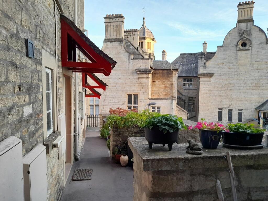
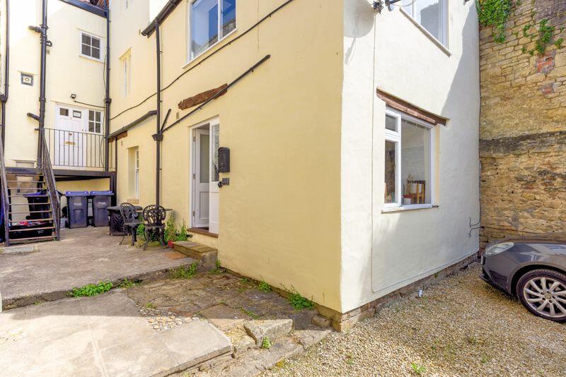
Property Information Report

3 Abbey Mill, Church Street
Bradford-On-Avon, BA15 1HB
Estimated Rental Value - £850 PCM
Last Sold - Nov, 2001

Key Facts
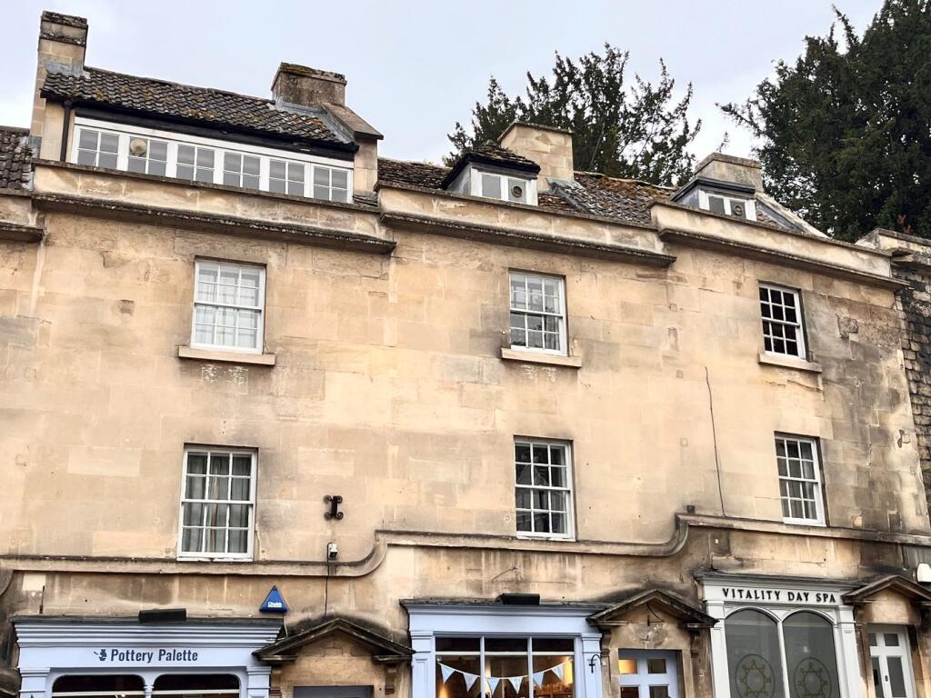
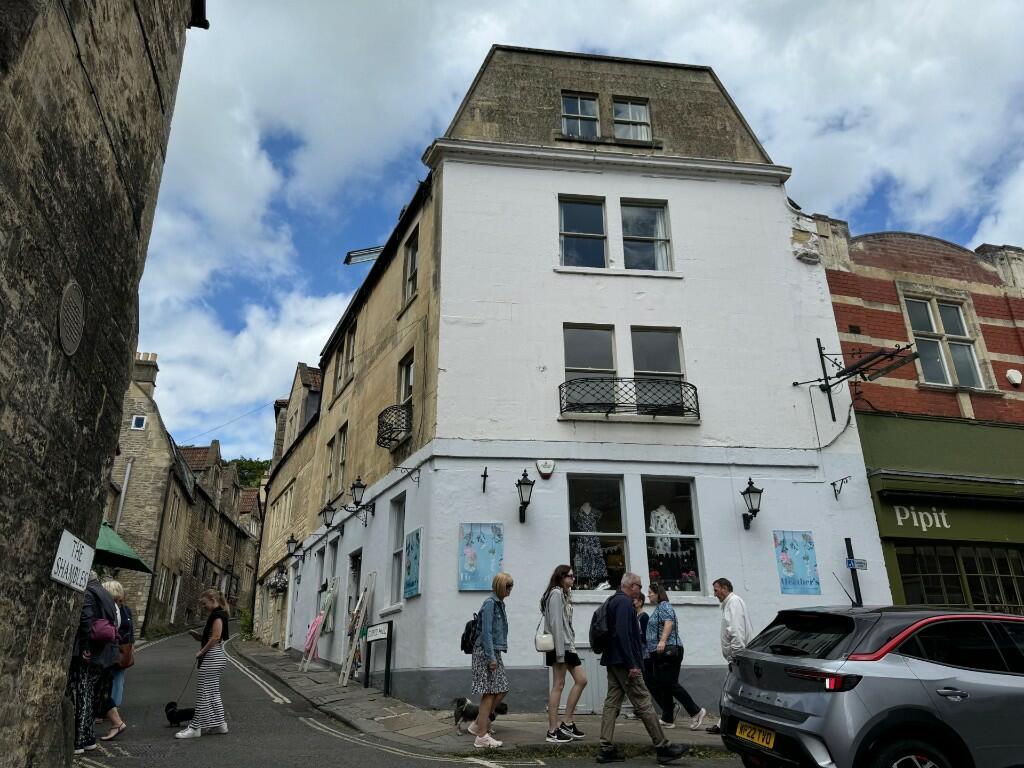
Properties To Let in the Area

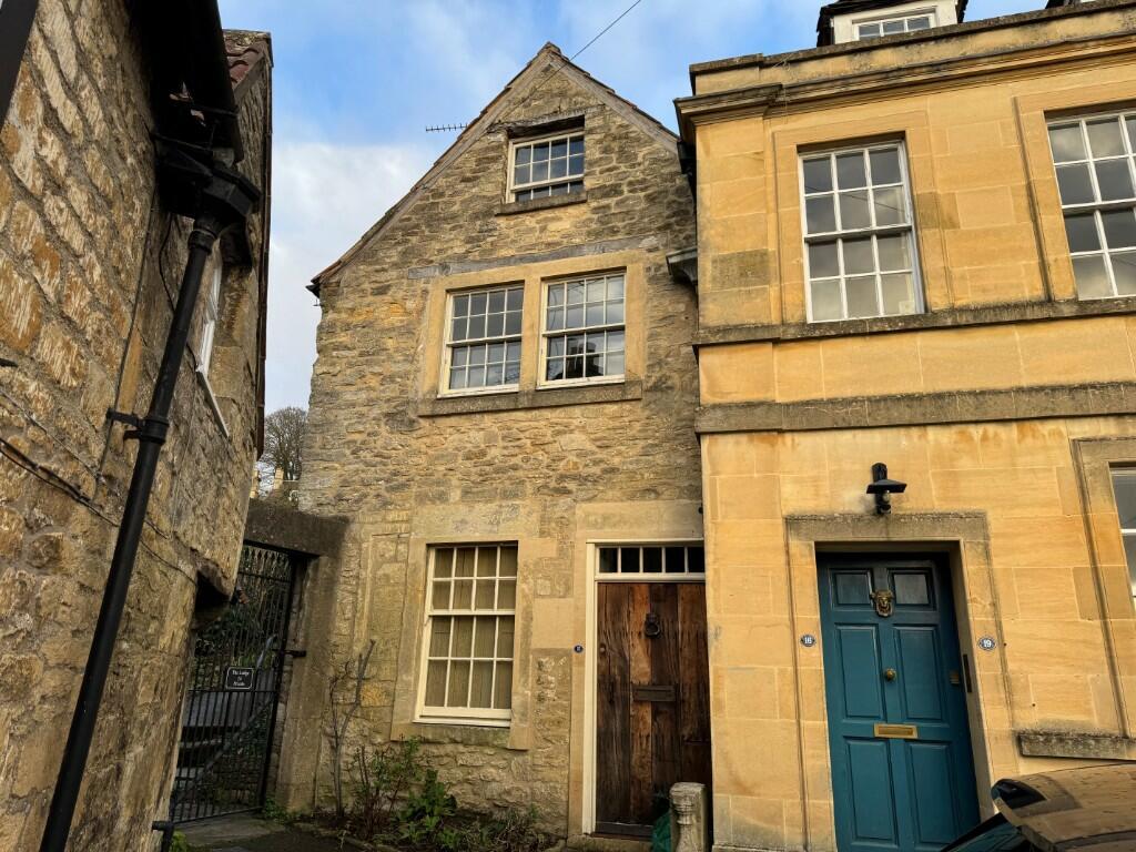
3 Bull Pit
15 metres away
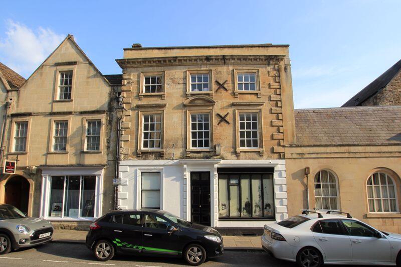
Market Street
73 metres away
Market Street
73 metres away
Coppice Hill
0.12 km away
Coppice Hill
0.13 km away
Coppice Hill
0.15 km away
Title Plan
Title Information
Details provided by the Land Registry
- Title Number
- WT206366
- Plot Size
- 0.27 acres (1075 sq metres)
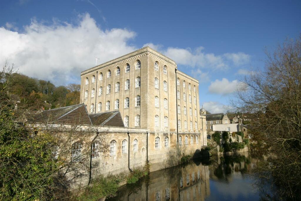
Street View
House Prices in Wiltshire
Last 12 months
-
Average Price Change
£15,363
Increased by 5%
-
Terraced Price Change
£13,347
Increased by 5%
Average House Prices
Last 12 months for all property types.
Since - February 2020
-
Average Price Change
£62,768
Increased by 23%
-
Terraced Price Change
£53,843
Increased by 25%
Average House Prices
Since 2020 for all property types
EPC
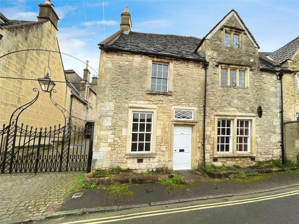
Properties For Sale in the Area
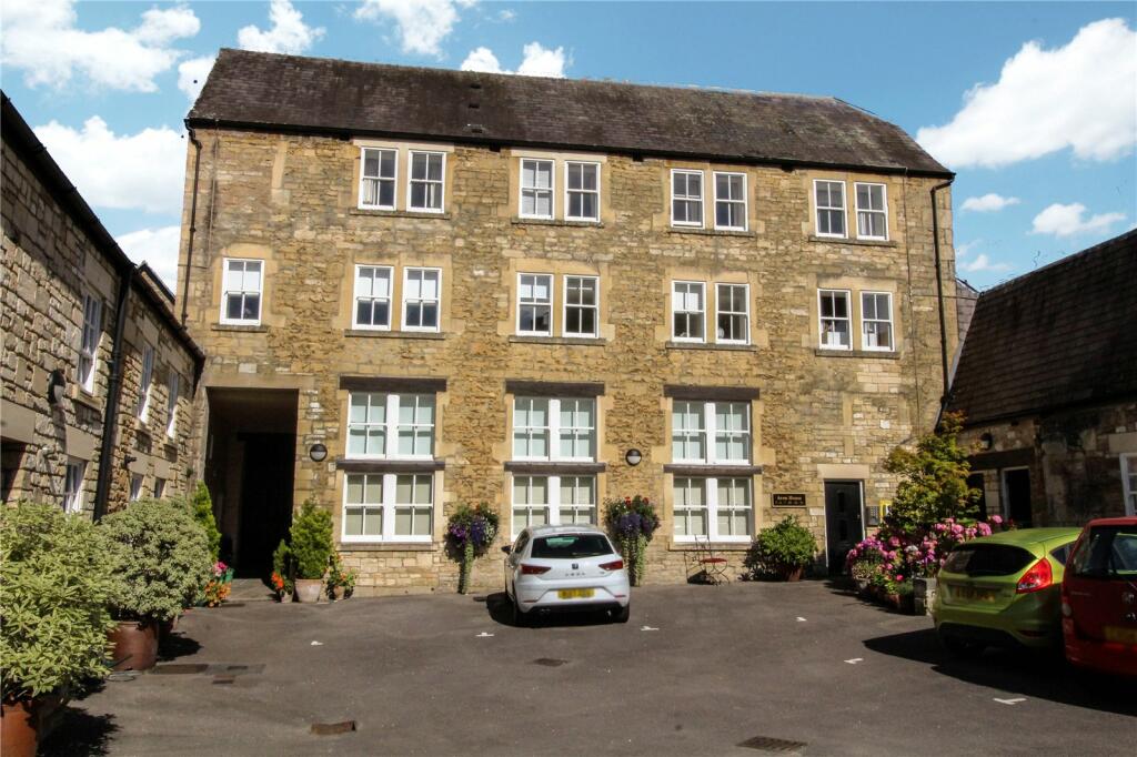
Abbey Mill
8 metres away
Bradford on Avon
17 metres away
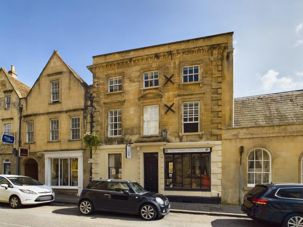
3 Bull Pit
37 metres away
Bradford on Avon
37 metres away

Abbey Mill
44 metres away
Church Street
50 metres away
Recently Sold Properties in the Area
| Address | Property Type | Distance | Price | Completed |
|---|---|---|---|---|
|
Flat 7, Abbey Mill, Church Street Bradford-On-Avon, BA15 1HB |
Flats/Maisonettes | 9 metres away | £145,000 | 10 months ago |
|
Flat 45, Abbey Mill, Church Street Bradford-On-Avon, BA15 1HB |
Flats/Maisonettes | 69 metres away | £200,000 | 7 months ago |
|
Flat 20, Abbey Mill, Church Street Bradford-On-Avon, BA15 1HB |
Flats/Maisonettes | 69 metres away | £120,000 | 6 months ago |
|
30 Market Street Bradford-On-Avon, BA15 1LL |
Other | 0.11 km away | £585,000 | 6 months ago |
|
30 Market Street Bradford-On-Avon, BA15 1LL |
Terraced | 0.11 km away | £585,000 | 6 months ago |
|
8a, Coppice Hill Bradford-On-Avon, BA15 1JT |
Terraced | 0.13 km away | £290,000 | 9 months ago |
|
19 Lamb Yard Bradford-On-Avon, BA15 1FG |
Flats/Maisonettes | 0.14 km away | £273,750 | 6 months ago |
|
5 Conigre Hill Bradford-On-Avon, BA15 1NJ |
Flats/Maisonettes | 0.15 km away | £240,000 | 6 months ago |
|
Wiltshire County Council, Bradford On Avon Library, Bridge Street Bradford-On-Avon, BA15 1BY |
Other | 0.17 km away | £455,000 | 10 months ago |
|
23 The Ropewalk Bradford-On-Avon, BA15 1LQ |
Flats/Maisonettes | 0.19 km away | £220,000 | 10 months ago |
Schools
| Name | Type | Postcode | Distance | Rating |
|---|---|---|---|---|
| Christ Church Church of England Controlled Primary School | Primary | BA15 1ST | 0.52 km | Good |
| Fitzmaurice Primary School | Primary | BA15 1LE | 0.62 km | Good |
| St Laurence School | Secondary, Post 16 | BA15 1DZ | 0.72 km | Good |
| Winsley CoE VC Primary School | Primary | BA15 2JN | 2.20 km | Good |
| Westwood-with-Iford Primary School | Primary | BA15 2BY | 2.58 km | Not rated |
Transport
Bus Stops & Stations
Details provided by Department for Transport
| Name | Distance |
|---|---|
| Town Bridge, Town Bridge | 0.10 km |
| Town Bridge, Saint Margaret's Street | 0.10 km |
| Ropewalk, Newtown | 0.22 km |
| United Church, Saint Margaret's Street | 0.26 km |
| Railway Station | 0.27 km |
Train Stations
Details provided by Department for Transport
| Name | Distance |
|---|---|
| Bradford-On-Avon Rail Station | 0.29 km |
| Avoncliff Rail Station | 2.26 km |
| Freshford Rail Station | 3.47 km |
| Trowbridge Rail Station | 4.04 km |
Nearest Motorway
Details provided by Department for Transport
| Name | Distance |
|---|---|
| M4 | 18.48 km |
Coverage
- Average Broadband Speed:
-
16mb Basic
-
80mb Superfast
-
80mb Overall
- Mobile Coverage:
-
EEOkay
-
O2Good
-
ThreeGood
-
VodafoneOkay
About Us

Kingstons
Kingstons Estate Agents have been successfully selling and letting residential and commercial properties in and around Bradford on Avon since 1994.
Important Notice - This report is intended for general informational purposes only and should act only as a guide. The report is produced automatically on behalf of Kingstons Estate Agents - Bradford on Avon by Street Insights, a product of Street Systems Ltd. Street Systems maintains and aggregates data from multiple public data sources and whilst every effort is made to keep information up to date and accurate, we make no representations or warranties of any kind about the accuracy, reliability or completeness of the information contained within this report for any purpose. Any reliance you place on the data contained within this report is strictly at your own risk. In no event will Kingstons Estate Agents - Bradford on Avon or Street Systems Ltd be liable for any loss or damage including without limitation, indirect or consequential loss or damage, or any loss or damage whatsoever arising from loss of data or profits arising out of, or in connection with, the use of this report.
This report contains public sector information licensed under the Open Government License v3.0
Transaction data and HPI data is produced by HM Land Registry. Crown copyright and database rights 2025