Buyer Information Report
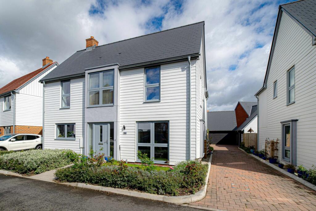
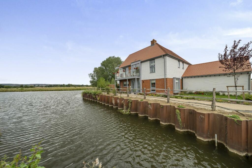
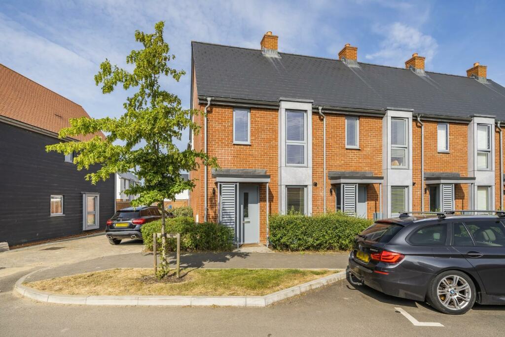
56 Ringlet Close
Kennington, Ashford, TN24 9FW
Estimated Value - £490,000
Estimated Rental Value - £1,725 PCM
Last Sold - Mar, 2025

Key Facts
Title Plan
 Contains OS data © Crown copyright 2025
Title Information
Details provided by the Land Registry
- Title Number
- TT150199
- Plot Size
- 0.06 acres (258 sq metres)
Street View
House Prices in Ashford
Last 12 months
-
Average Price Change
£5,823
Increased by 2%
-
Detached Price Change
£8,157
Increased by 1%
Average House Prices
Last 12 months for all property types.
Since Last Sale - 25th March 2025
-
Average Price Change
£55,093
Increased by 19%
-
Detached Price Change
£86,911
Increased by 18%
Average House Prices
Since 2020 for all property types
EPC

EPC Information
Details taken from the EPC register
- Date
- 2021-09-29
- Valid Until
- 2031-09-28
- Energy Efficiency - Current
- 84
- Energy Efficiency - Potential
- 93
- Environmental Impact - Current
- 85
- Environmental Impact - Potential
- 94
Properties For Sale in the Area
Conningbrook Lakes
52 metres away
Ringlet Close
52 metres away
Teasel View
69 metres away
Darter Row
81 metres away
Teasel View
0.10 km away
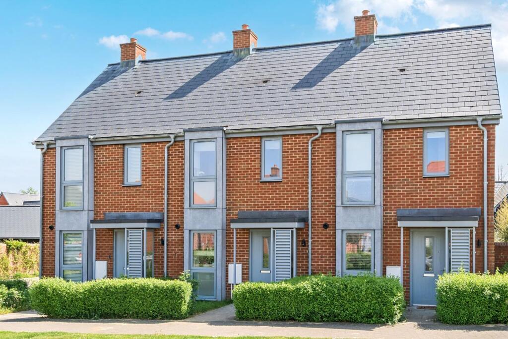
Conningbrook Lakes
0.18 km away
Properties To Let in the Area
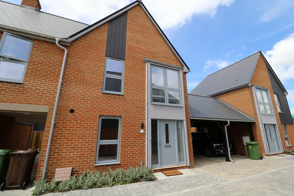
Darter Row
81 metres away
Conningbrook Avenue
0.21 km away
CONNINGBROOK LAKES
0.28 km away
Atkinson Walk
0.58 km away
Raymond Fuller Way
0.73 km away
Canon Woods Way
0.75 km away
Schools
| Name | Type | Postcode | Distance | Rating |
|---|---|---|---|---|
| Downs View Infant School | Primary | TN25 4PJ | 1.50 km | Good |
| Kennington Church of England Academy | Primary | TN24 9AG | 1.60 km | Good |
| Phoenix Community Primary School | Primary | TN24 9LS | 1.62 km | Good |
| The Norton Knatchbull School | Secondary, Post 16 | TN24 0QJ | 1.80 km | Good |
| Cornfields School | Special, Independent | TN24 8PL | 1.96 km | Outstanding |
Transport
Bus Stops & Stations
Details provided by Department for Transport
| Name | Distance |
|---|---|
| Clarke Crescent, Willesborough Road | 0.48 km |
| Atkinson Walk | 0.62 km |
| George Williams Way | 0.66 km |
| Julie Rose Stadium, Willesborough Road | 0.66 km |
| Clarke Crescent, George Williams Way | 0.70 km |
Train Stations
Details provided by Department for Transport
| Name | Distance |
|---|---|
| Ashford International Rail Station | 2.83 km |
| Wye Rail Station | 3.24 km |
Nearest Motorway
Details provided by Department for Transport
| Name | Distance |
|---|---|
| M20 | 2.52 km |
Coverage
- Average Broadband Speed:
-
21mb Basic
-
1800mb Ultrafast
-
1800mb Overall
- Mobile Coverage:
-
EEOkay
-
O2Good
-
ThreeOkay
-
VodafoneOkay
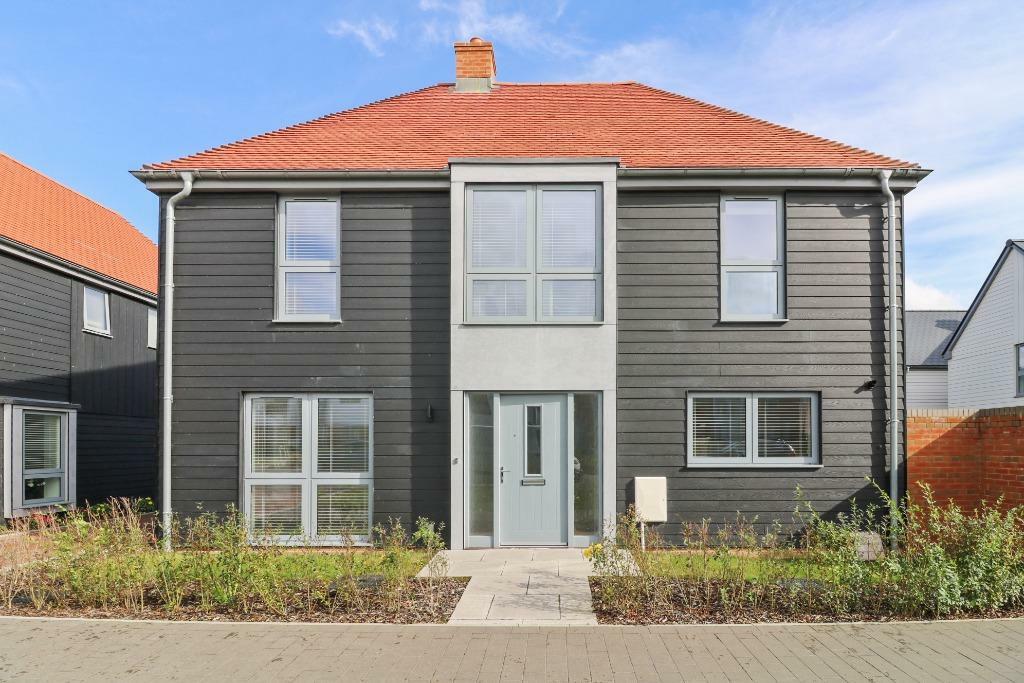
Recently Sold Properties in the Area
| Address | Property Type | Distance | Price | Completed |
|---|---|---|---|---|
|
56 Ringlet Close Kennington, Ashford, TN24 9FW |
Detached | away | £440,000 | 2 months ago |
|
46 Ringlet Close Kennington, Ashford, TN24 9FW |
Detached | 56 metres away | £425,000 | 10 months ago |
|
1 Ringlet Close Kennington, Ashford, TN24 9FW |
Terraced | 65 metres away | £395,000 | 4 months ago |
|
13 Skipper Walk Kennington, Ashford, TN24 9FX |
Detached | 94 metres away | £470,000 | 9 months ago |
|
11 Skipper Walk Kennington, Ashford, TN24 9FX |
Detached | 0.11 km away | £411,414 | 1 year ago |
|
25 Ringlet Close Kennington, Ashford, TN24 9FW |
Detached | 0.11 km away | £465,000 | 9 months ago |
|
69 Conningbrook Avenue Kennington, Ashford, TN24 9FA |
Terraced | 0.14 km away | £350,000 | 7 months ago |
|
1 Pochard Drive Kennington, Ashford, TN24 9FU |
Detached | 0.18 km away | £383,000 | 8 months ago |
|
49 Conningbrook Avenue Kennington, Ashford, TN24 9FA |
Terraced | 0.26 km away | £352,500 | 3 months ago |
|
17 Gatekeeper Lane Kennington, Ashford, TN24 9FH |
Detached | 0.30 km away | £530,000 | 9 months ago |
Important Notice - This report is intended for general informational purposes only and should act only as a guide. The report is produced automatically on behalf of Andrew & Co Estate Agents Ltd - Ashford by Street Insights, a product of Street Systems Ltd. Street Systems maintains and aggregates data from multiple public data sources and whilst every effort is made to keep information up to date and accurate, we make no representations or warranties of any kind about the accuracy, reliability or completeness of the information contained within this report for any purpose. Any reliance you place on the data contained within this report is strictly at your own risk. In no event will Andrew & Co Estate Agents Ltd - Ashford or Street Systems Ltd be liable for any loss or damage including without limitation, indirect or consequential loss or damage, or any loss or damage whatsoever arising from loss of data or profits arising out of, or in connection with, the use of this report.
This report contains public sector information licensed under the Open Government License v3.0
Transaction data and HPI data is produced by HM Land Registry. Crown copyright and database rights 2025