Property Information Report
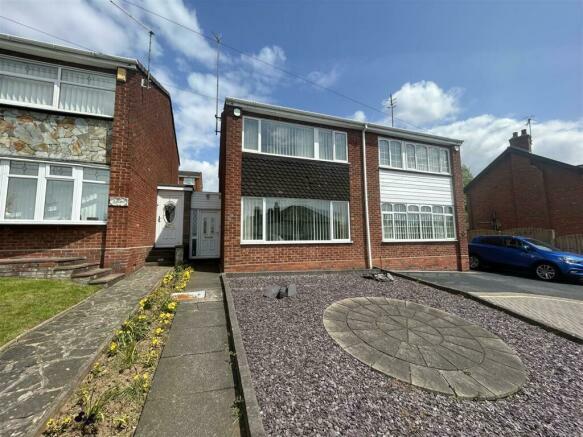
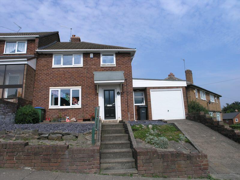
354 Halesowen Road
Cradley Heath, B64 7JT
Estimated Value - £365,000
Estimated Rental Value - £1,350 PCM
Last Sold - Mar, 2019


Key Facts
Title Plan
Title Information
Details provided by the Land Registry
- Title Number
- WR5593
- Plot Size
- 0.08 acres (341 sq metres)
Street View
House Prices in Sandwell
Last 12 months
-
Average Price Change
£645
Increased by 0%
-
Semi-Detached Price Change
£2,748
Increased by 1%
Average House Prices
Last 12 months for all property types.
Since - June 2019
-
Average Price Change
£55,698
Increased by 37%
-
Semi-Detached Price Change
£61,837
Increased by 39%
Average House Prices
Since 2019 for all property types
EPC

EPC Information
Details taken from the EPC register
- Date
- 2020-01-26
- Valid Until
- 2030-01-25
- Energy Efficiency - Current
- 53
- Energy Efficiency - Potential
- 79
- Environmental Impact - Current
- 61
- Environmental Impact - Potential
- 83
Properties To Let in the Area
Halesowen Road
0.14 km away
Flat 10 Beechwood Court
0.18 km away
Sherbourne Road
0.56 km away
Mafeking Villas
0.57 km away
Coppice Road
0.64 km away
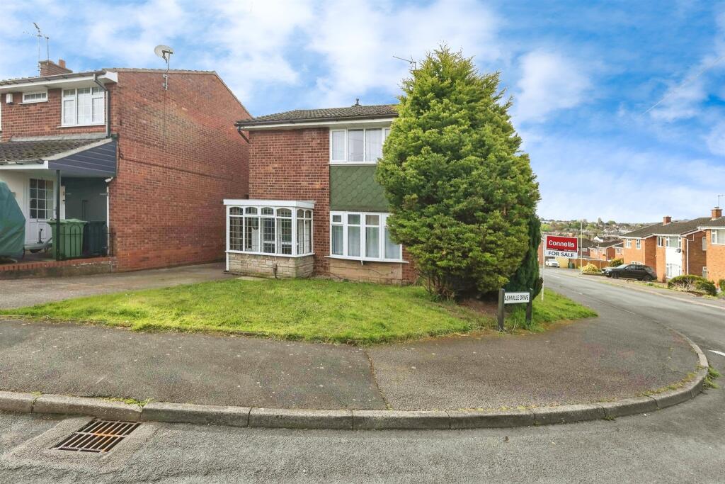
Ashville Drive
0.82 km away
Schools
| Name | Type | Postcode | Distance | Rating |
|---|---|---|---|---|
| Newfield Park Primary School | Primary | B63 3TP | 0.83 km | Good |
| Temple Meadow Primary School | Nursery, Primary | B64 6RH | 0.96 km | Good |
| Timbertree Academy | Nursery, Primary | B64 7LT | 1.06 km | Good |
| Highfields Primary School | Nursery, Primary | B65 0DA | 1.14 km | Good |
| Old Hill Primary School | Nursery, Primary | B64 6DR | 1.23 km | Good |
Transport
Train Stations
Details provided by Department for Transport
| Name | Distance |
|---|---|
| Old Hill Rail Station | 0.71 km |
| Rowley Regis Rail Station | 2.27 km |
| Cradley Heath Rail Station | 2.34 km |
| Lye (West Midlands) Rail Station | 4.03 km |
| Langley Green Rail Station | 4.80 km |
Nearest Motorway
Details provided by Department for Transport
| Name | Distance |
|---|---|
| M5 | 3.31 km |
Coverage
- Average Broadband Speed:
-
9mb Basic
-
80mb Superfast
-
1000mb Ultrafast
-
1000mb Overall
- Mobile Coverage:
-
EEGood
-
O2Good
-
ThreeGood
-
VodafoneGood
Important Notice - This report is intended for general informational purposes only and should act only as a guide. The report is produced automatically on behalf of Viewber - Viewber by Street Insights, a product of Street Systems Ltd. Street Systems maintains and aggregates data from multiple public data sources and whilst every effort is made to keep information up to date and accurate, we make no representations or warranties of any kind about the accuracy, reliability or completeness of the information contained within this report for any purpose. Any reliance you place on the data contained within this report is strictly at your own risk. In no event will Viewber - Viewber or Street Systems Ltd be liable for any loss or damage including without limitation, indirect or consequential loss or damage, or any loss or damage whatsoever arising from loss of data or profits arising out of, or in connection with, the use of this report.
This report contains public sector information licensed under the Open Government License v3.0
Transaction data and HPI data is produced by HM Land Registry. Crown copyright and database rights 2024