Property Information Report
Guphill Avenue
Coventry, CV5

Description
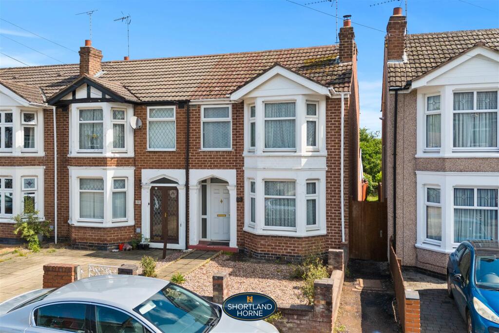
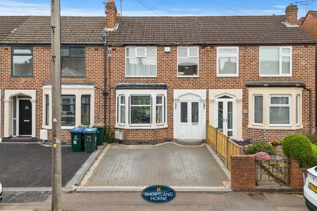
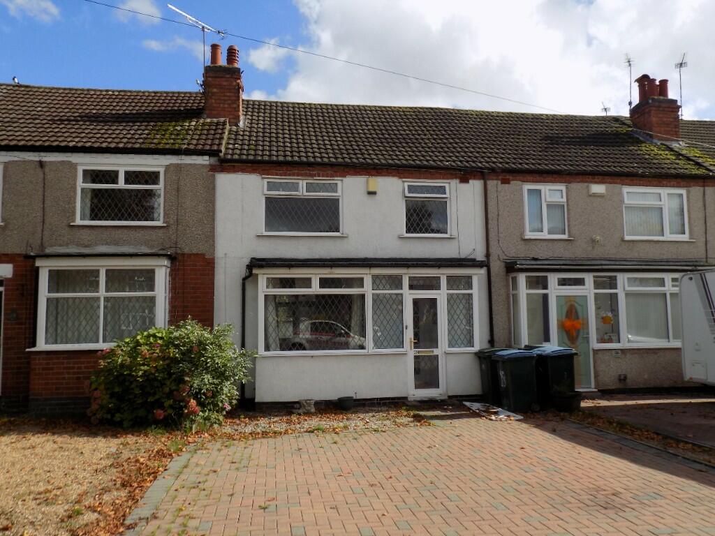
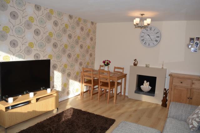
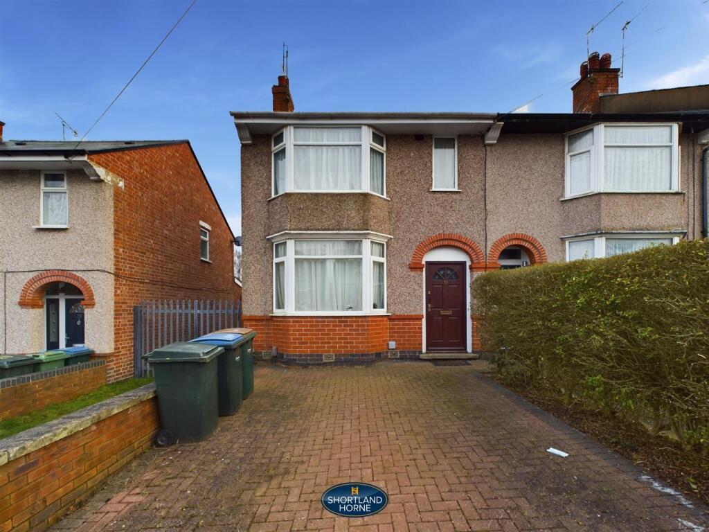
Nestled in a lovely location, this delightful and unique detached bungalow awaits its next chapter. Built with one bedroom but with bags of potential for redevelopment, subject to planning permission, seize the opportunity to craft your dream home. The property features a huge outbuilding or workshop with off road parking in front.
While the property requires modernisation, its prime location offers easy access to local woods for leisurely walks and relaxation. Conveniently situated near supermarkets, shops, parks, and the city centre, enjoy the best of both worlds with urban amenities and natural beauty at your doorstep. Plus, excellent links to the A45 ensure seamless connectivity for commuters and explorers alike.
Key Facts
Title Plan
 Contains OS data © Crown copyright 2025
Title Information
Details provided by the Land Registry
- Title Number
- WK68714
- Plot Size
- 0.09 acres (362 sq metres)
Street View
House Prices in Coventry
Last 12 months
-
Average Price Change
£13,169
Increased by 6%
-
Detached Price Change
£27,967
Increased by 7%
Average House Prices
Last 12 months for all property types.
Since - April 2020
-
Average Price Change
£42,873
Increased by 24%
-
Detached Price Change
£75,896
Increased by 23%
Average House Prices
Since 2020 for all property types
EPC

EPC Information
Details taken from the EPC register
- Date
- 2024-05-03
- Valid Until
- 2034-05-02
- Energy Efficiency - Current
- 64
- Energy Efficiency - Potential
- 81
- Environmental Impact - Current
- 58
- Environmental Impact - Potential
- 77
Properties For Sale in the Area
Glendower Ave
80 metres away
Sherlock Road
0.13 km away
Lyndale Road
0.14 km away
Glendower Avenue
0.15 km away
Sherlock Road
0.16 km away
Sherlock Road
0.17 km away
Properties To Let in the Area
Glendower Avenue
0.17 km away
Greendale Road
0.19 km away
Greendale Road
0.25 km away
Greendale Road
0.25 km away
Whoberley Avenue
0.29 km away
Billing Road
0.31 km away
Schools
| Name | Type | Postcode | Distance | Rating |
|---|---|---|---|---|
| Whoberley Hall Primary School | Nursery, Primary | CV5 8AJ | 0.28 km | Good |
| St Christopher Primary School | Nursery, Primary | CV5 9JG | 0.55 km | Good |
| All Souls' Catholic Primary School | Nursery, Primary | CV5 8ED | 0.89 km | Good |
| St John's Church of England Academy | Primary | CV5 9HZ | 0.90 km | Good |
| St John Vianney Catholic Primary School | Nursery, Primary | CV5 7GX | 0.98 km | Good |
Transport
Train Stations
Details provided by Department for Transport
| Name | Distance |
|---|---|
| Canley Rail Station | 1.05 km |
| Coventry Rail Station | 2.66 km |
| Tile Hill Rail Station | 3.48 km |
Nearest Motorway
Details provided by Department for Transport
| Name | Distance |
|---|---|
| M6 | 7.18 km |
Coverage
- Average Broadband Speed:
-
5mb Basic
-
1800mb Ultrafast
-
1800mb Overall
- Mobile Coverage:
-
EEOkay
-
O2Good
-
ThreeGood
-
VodafoneOkay
Recently Sold Properties in the Area
| Address | Property Type | Distance | Price | Completed |
|---|---|---|---|---|
|
68 Glendower Avenue Coventry, CV5 8BE |
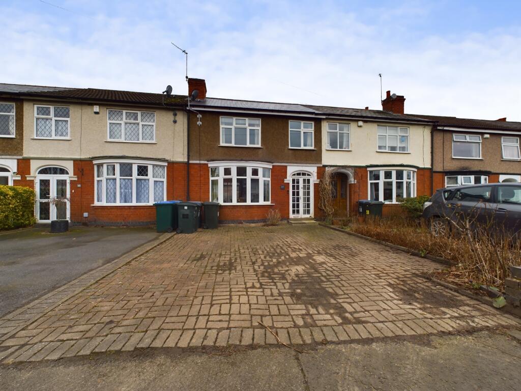
Terraced | 57 metres away | £245,000 | 5 months ago |
|
171 Whoberley Avenue Coventry, CV5 8FB |
Terraced | 91 metres away | £277,000 | 3 months ago |
|
164 Greendale Road Coventry, CV5 8AY |
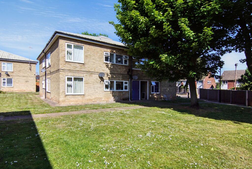
Flats/Maisonettes | 0.15 km away | £129,950 | 10 months ago |
|
9 Gorseway Coventry, CV5 8BH |
Other | 0.15 km away | £260,000 | 11 months ago |
|
134 Greendale Road Coventry, CV5 8LP |
Flats/Maisonettes | 0.16 km away | £115,000 | 8 months ago |
|
30 Glendower Avenue Coventry, CV5 8BE |
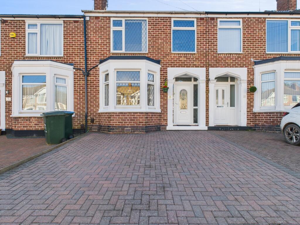
Terraced | 0.17 km away | £169,000 | 8 months ago |
|
22 Gorseway Coventry, CV5 8BJ |
Terraced | 0.17 km away | £245,000 | 9 months ago |
|
123 Glendower Avenue Coventry, CV5 8BD |
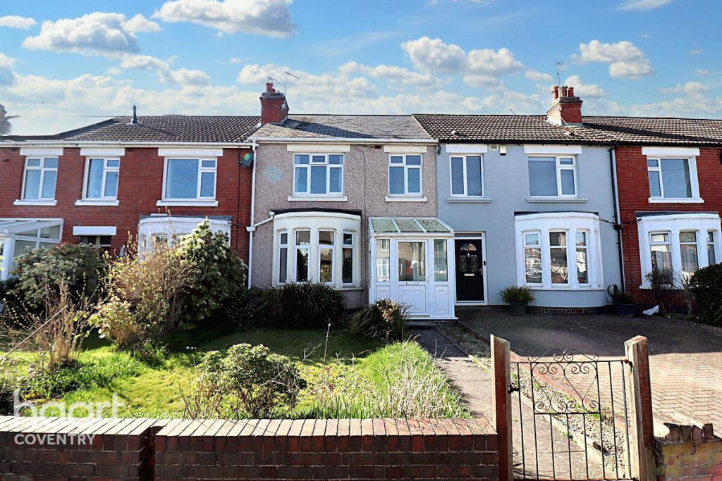
Semi-Detached | 0.17 km away | £262,000 | 9 months ago |
|
13 Glendower Avenue Coventry, CV5 8BG |
Terraced | 0.22 km away | £215,000 | 10 months ago |
|
264 Greendale Road Coventry, CV5 8AH |
Flats/Maisonettes | 0.22 km away | £93,000 | 8 months ago |
Important Notice - This report is intended for general informational purposes only and should act only as a guide. The report is produced automatically on behalf of Coopers Estate Agents - Coventry by Street Insights, a product of Street Systems Ltd. Street Systems maintains and aggregates data from multiple public data sources and whilst every effort is made to keep information up to date and accurate, we make no representations or warranties of any kind about the accuracy, reliability or completeness of the information contained within this report for any purpose. Any reliance you place on the data contained within this report is strictly at your own risk. In no event will Coopers Estate Agents - Coventry or Street Systems Ltd be liable for any loss or damage including without limitation, indirect or consequential loss or damage, or any loss or damage whatsoever arising from loss of data or profits arising out of, or in connection with, the use of this report.
This report contains public sector information licensed under the Open Government License v3.0
Transaction data and HPI data is produced by HM Land Registry. Crown copyright and database rights 2025