Property Information Report
Lower Eastern Green Lane
Coventry, CV5

Description
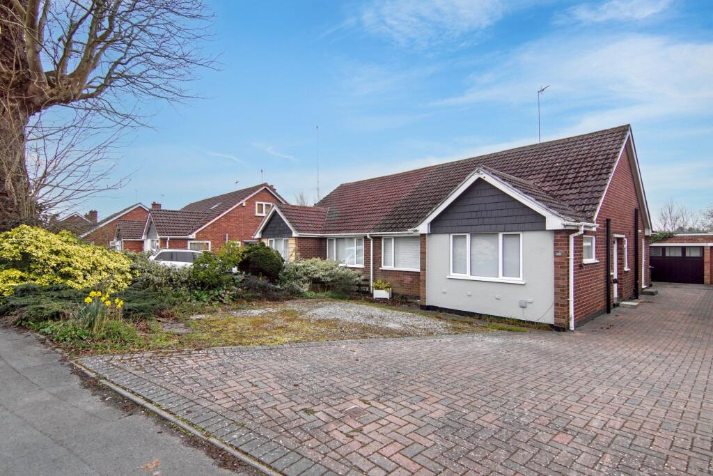
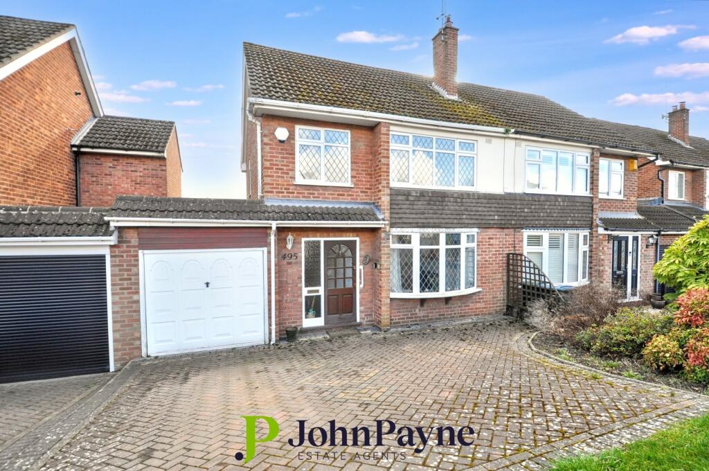
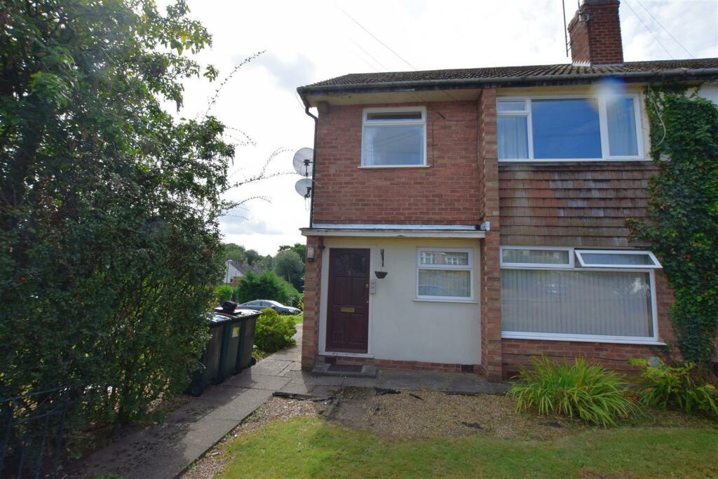
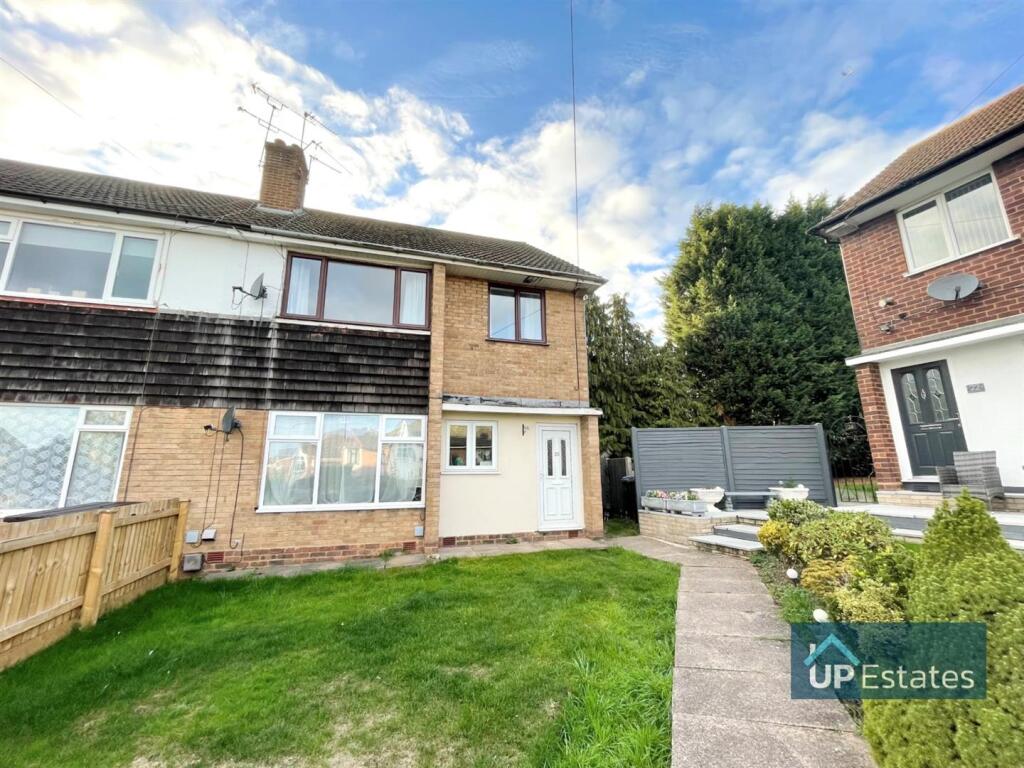
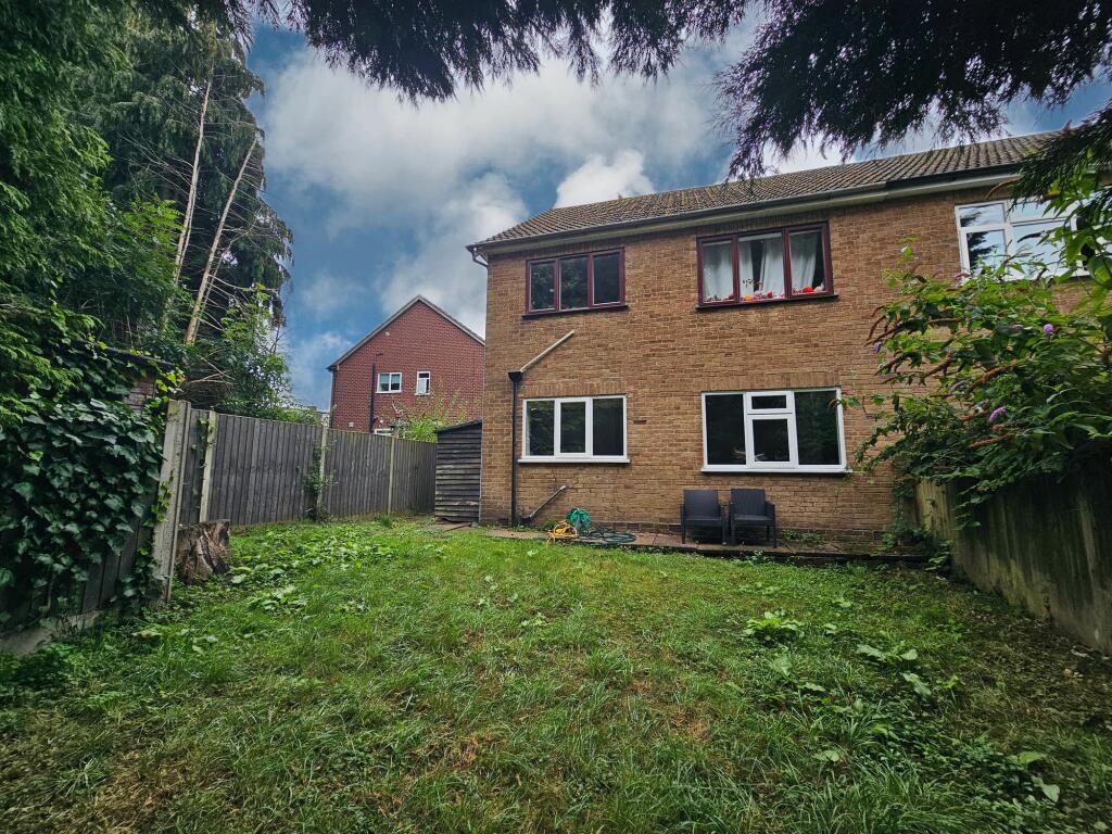
Well proportioned detached family home in highly popular location on west side of Coventry set in attractive gardens with private driveway and double width garage. Currently backing on to fields which are likely to be subject to future residential development as part of phase 7 of the Eastern Green development in about 4/5 years time.
Cloakroom off hallway, very spacious lounge, separate dining room, kitchen and separate utility room. Upstairs there are four good sized bedrooms, bathroom and separate shower room. Good sized gardens, driveway and garage. Inspection is highly recommended and there is no upward chain.
The property is competitvely priced to reflect the need for minor updating to personal taste.
Key Facts
Title Plan
 Contains OS data © Crown copyright 2025
Title Information
Details provided by the Land Registry
- Title Number
- WM31956
- Plot Size
- 0.19 acres (756 sq metres)
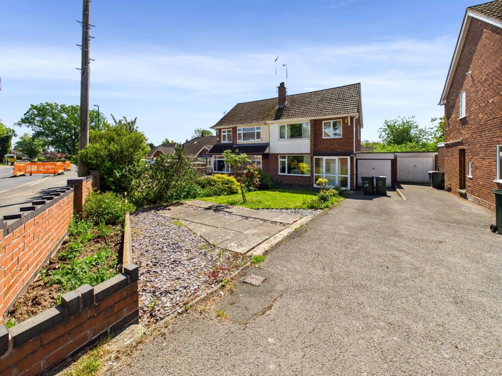
Street View
House Prices in Coventry
Last 12 months
-
Average Price Change
£12,145
Increased by 6%
-
Detached Price Change
£29,372
Increased by 8%
Average House Prices
Last 12 months for all property types.
Since - May 2020
-
Average Price Change
£41,994
Increased by 23%
-
Detached Price Change
£76,350
Increased by 23%
Average House Prices
Since 2020 for all property types
EPC

EPC Information
Details taken from the EPC register
- Date
- 2024-07-01
- Valid Until
- 2034-06-30
- Energy Efficiency - Current
- 56
- Energy Efficiency - Potential
- 73
- Environmental Impact - Current
- 49
- Environmental Impact - Potential
- 68
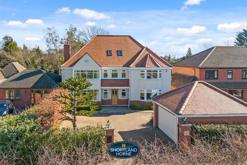
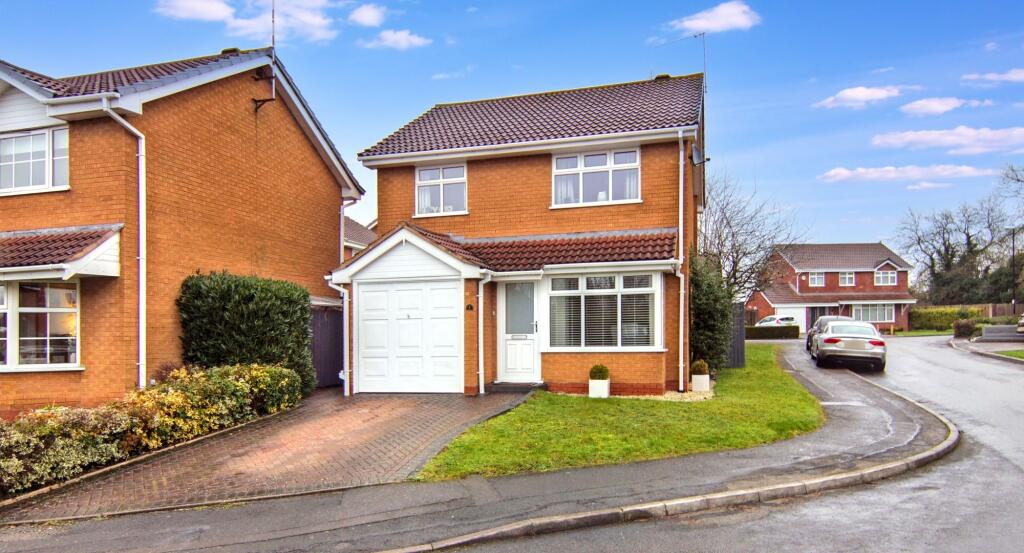
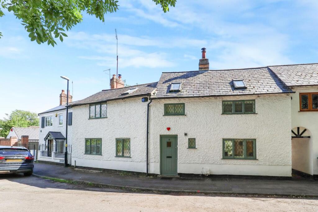
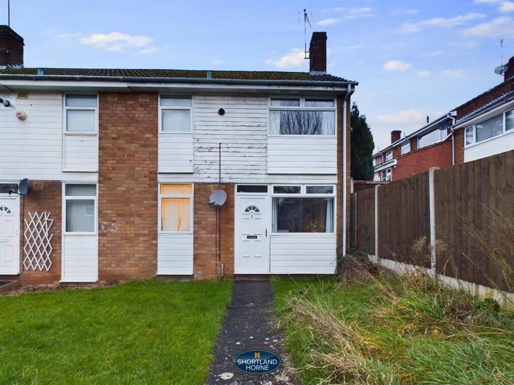
Properties For Sale in the Area
Lower Eastern Green Lane
31 metres away
Lower Eastern Green Lane
31 metres away
Lower Eastern Green Lane
31 metres away
Barnstaple Close
0.20 km away
Unicorn Lane
0.21 km away
Upper Eastern Green Lane
0.22 km away
Properties To Let in the Area
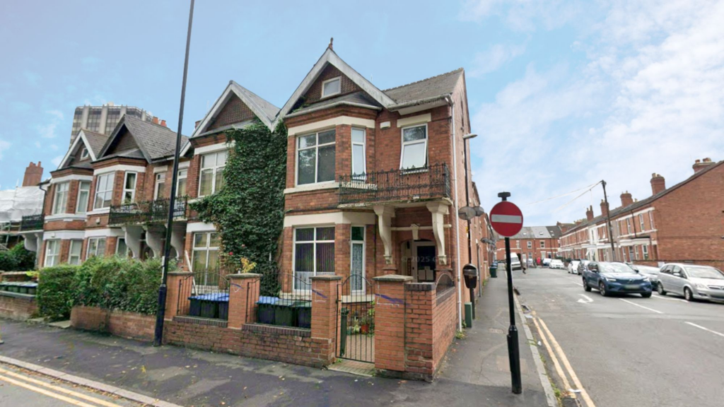
4 Albany Road
0.26 km away
Shetland Close
0.38 km away
Derwent Close
0.46 km away
Derwent Close
0.47 km away
Derwent Close
0.47 km away
Forest Court
0.50 km away
Schools
| Name | Type | Postcode | Distance | Rating |
|---|---|---|---|---|
| Park Hill Primary School | Nursery, Primary | CV5 7LR | 0.27 km | Good |
| Mount Nod Primary School | Nursery, Primary | CV5 7BG | 0.60 km | Good |
| Limbrick Wood Primary School | Nursery, Primary | CV4 9QT | 0.73 km | Good |
| Limbrick Wood Primary School | Nursery, Primary | CV4 9QT | 0.74 km | Not rated |
| Allesley Hall Primary School | Primary | CV5 9NG | 0.99 km | Good |
Transport
Train Stations
Details provided by Department for Transport
| Name | Distance |
|---|---|
| Tile Hill Rail Station | 2.71 km |
| Canley Rail Station | 2.87 km |
| Coventry Rail Station | 4.77 km |
| Berkswell Rail Station | 4.94 km |
Nearest Motorway
Details provided by Department for Transport
| Name | Distance |
|---|---|
| M6 | 7.71 km |
Coverage
- Average Broadband Speed:
-
3mb Basic
-
56mb Superfast
-
1800mb Ultrafast
-
1800mb Overall
- Mobile Coverage:
-
EEOkay
-
O2Good
-
ThreePoor
-
VodafoneOkay
Recently Sold Properties in the Area
| Address | Property Type | Distance | Price | Completed |
|---|---|---|---|---|
|
25 Appledore Drive Coventry, CV5 7PQ |
Semi-Detached | 0.12 km away | £275,000 | 10 months ago |
|
2 Kimberley Close Coventry, CV5 7GL |
Flats/Maisonettes | 0.16 km away | £99,750 | 5 months ago |
|
7 Jenkins Avenue Coventry, CV5 7GG |
Semi-Detached | 0.18 km away | £325,000 | 6 months ago |
|
320 Lower Eastern Green Lane Coventry, CV5 7DT |
Detached | 0.18 km away | £375,000 | 10 months ago |
|
5 Luther Way Coventry, CV5 7PB |
Detached | 0.23 km away | £417,500 | 4 months ago |
|
11 Chiel Close Coventry, CV5 7LQ |
Semi-Detached | 0.24 km away | £345,000 | 6 months ago |
|
8 Beaumaris Close Coventry, CV5 7PS |
Semi-Detached | 0.27 km away | £325,000 | 6 months ago |
|
1 Howard Close Coventry, CV5 7GN |
Flats/Maisonettes | 0.28 km away | £150,000 | 11 months ago |
|
25 Chiel Close Coventry, CV5 7LQ |
Semi-Detached | 0.29 km away | £285,000 | 7 months ago |
|
48 Beaumaris Close Coventry, CV5 7PS |
Detached | 0.30 km away | £415,000 | 11 months ago |
Important Notice - This report is intended for general informational purposes only and should act only as a guide. The report is produced automatically on behalf of Coopers Estate Agents - Coventry by Street Insights, a product of Street Systems Ltd. Street Systems maintains and aggregates data from multiple public data sources and whilst every effort is made to keep information up to date and accurate, we make no representations or warranties of any kind about the accuracy, reliability or completeness of the information contained within this report for any purpose. Any reliance you place on the data contained within this report is strictly at your own risk. In no event will Coopers Estate Agents - Coventry or Street Systems Ltd be liable for any loss or damage including without limitation, indirect or consequential loss or damage, or any loss or damage whatsoever arising from loss of data or profits arising out of, or in connection with, the use of this report.
This report contains public sector information licensed under the Open Government License v3.0
Transaction data and HPI data is produced by HM Land Registry. Crown copyright and database rights 2025