Property Information Report
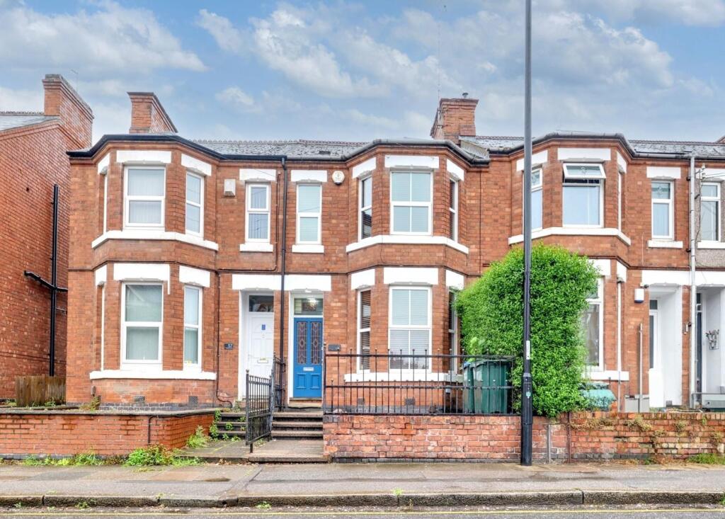
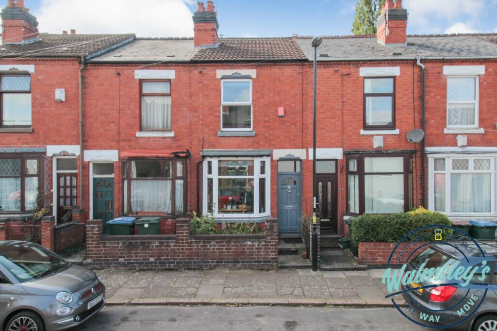
Albany Road
Coventry, CV5
Last Sold - Jun, 2006


Description
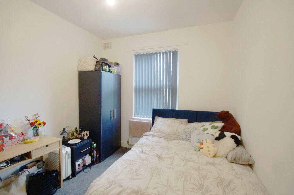
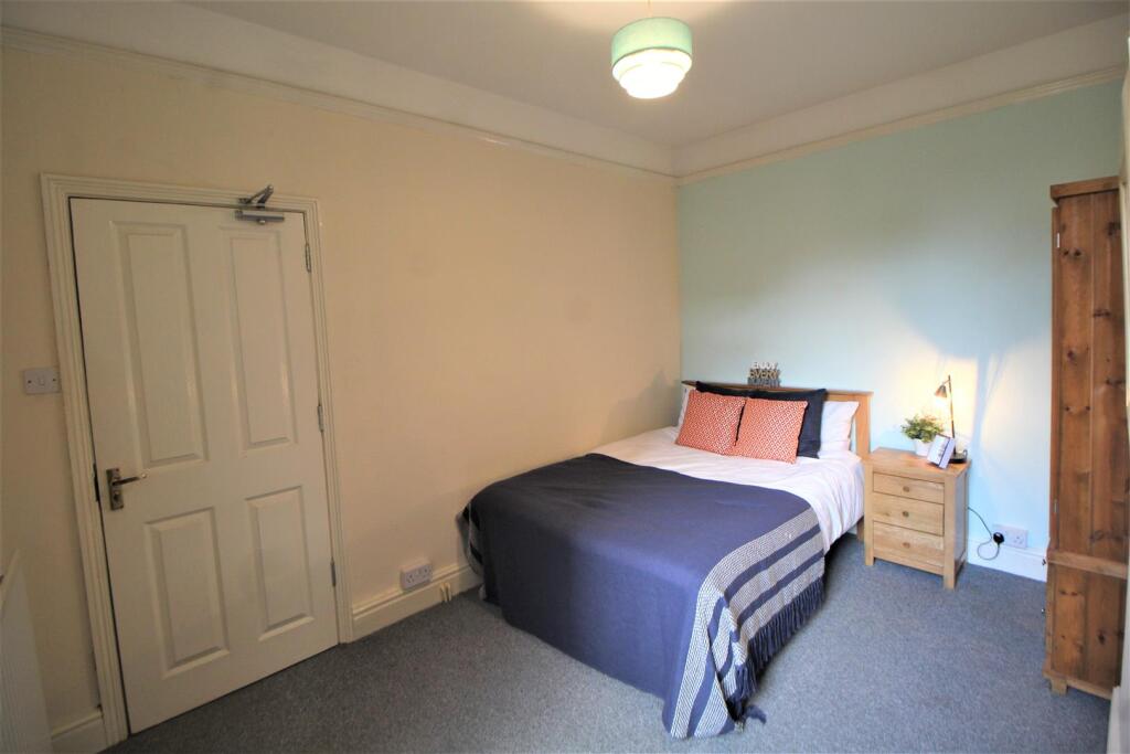
Spacious double bayed mid terraced property in such a convenient location close to Earlsdon High Street and the City Centre. Suitable for investment or private ownership - currently let out at £1495pcm until 01/09/2024.
Natural hallway, large front living room, rear dining room, large breakfast kitchen and shower room. Three bedrooms (main front bedroom currently partitioned to create fourth bedroom) and bathroom. The property has gas central heating and double glazing.
Key Facts
Title Plan
 Contains OS data © Crown copyright 2025
Title Information
Details provided by the Land Registry
- Title Number
- WK126073
- Plot Size
- 0.04 acres (181 sq metres)
Street View
House Prices in Coventry
Last 12 months
-
Average Price Change
£13,482
Increased by 6%
-
Terraced Price Change
£12,789
Increased by 7%
Average House Prices
Last 12 months for all property types.
Since - March 2020
-
Average Price Change
£45,161
Increased by 25%
-
Terraced Price Change
£43,576
Increased by 26%
Average House Prices
Since 2020 for all property types
EPC

EPC Information
Details taken from the EPC register
- Date
- 2019-07-25
- Valid Until
- 2029-07-24
- Energy Efficiency - Current
- 68
- Energy Efficiency - Potential
- 84
- Environmental Impact - Current
- 63
- Environmental Impact - Potential
- 81
Properties For Sale in the Area
Albany Road
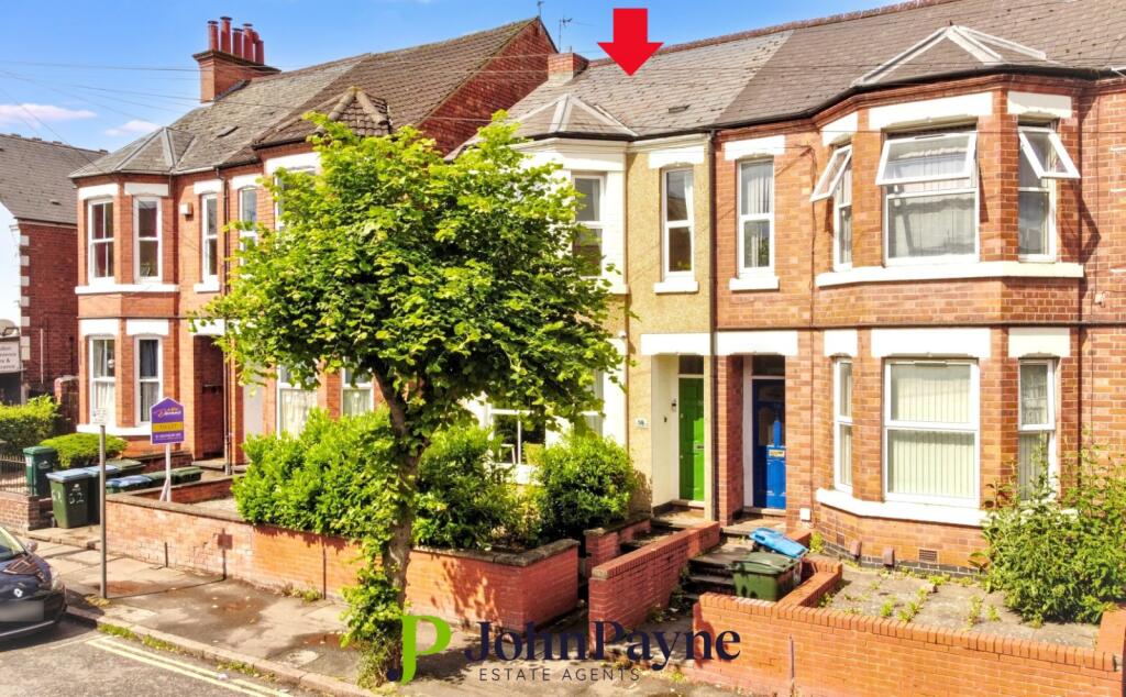
Albany Road
42 metres away
Albany Road
52 metres away
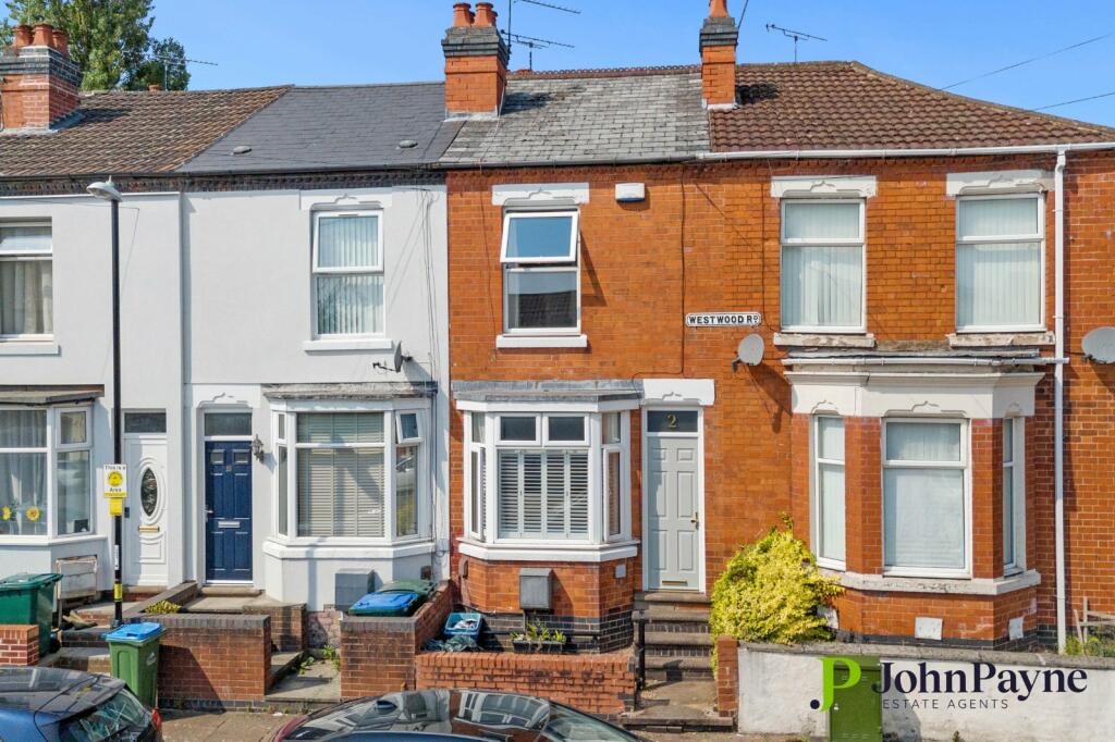
Westwood Road
0.13 km away
Westwood Road
0.14 km away
Broomfield Road
0.14 km away
Properties To Let in the Area
Albany Road
7 metres away

Albany Student Village
7 metres away
Studio Flat
7 metres away

Albany Road
7 metres away
Albany Road
42 metres away
Albany Road
44 metres away
Schools
| Name | Type | Postcode | Distance | Rating |
|---|---|---|---|---|
| Hearsall Community Academy | Nursery, Primary | CV5 6LR | 0.35 km | Good |
| Earlsdon Primary School | Primary | CV5 6FZ | 0.38 km | Good |
| King Henry VIII School | Independent, Nursery, Primary, Post 16 | CV3 6AQ | 0.68 km | Not rated |
| Spon Gate Primary School | Nursery, Primary | CV1 3BQ | 0.69 km | Good |
| All Souls' Catholic Primary School | Nursery, Primary | CV5 8ED | 0.88 km | Good |
Transport
Train Stations
Details provided by Department for Transport
| Name | Distance |
|---|---|
| Coventry Rail Station | 0.90 km |
| Canley Rail Station | 1.50 km |
| Tile Hill Rail Station | 4.86 km |
Nearest Motorway
Details provided by Department for Transport
| Name | Distance |
|---|---|
| M6 | 7.05 km |
Coverage
- Average Broadband Speed:
-
17mb Basic
-
80mb Superfast
-
1800mb Ultrafast
-
1800mb Overall
- Mobile Coverage:
-
EEOkay
-
O2Good
-
ThreeGood
-
VodafoneGood
Recently Sold Properties in the Area
| Address | Property Type | Distance | Price | Completed |
|---|---|---|---|---|
|
67 Albany Road Coventry, CV5 6JR |
Semi-Detached | 22 metres away | £249,950 | 7 months ago |
|
19 Winifred Avenue Coventry, CV5 6JT |
Terraced | 85 metres away | £260,000 | 7 months ago |
|
21 Westwood Road Coventry, CV5 6GF |
Terraced | 0.12 km away | £177,000 | 6 months ago |
|
26 Westwood Road Coventry, CV5 6GE |
Terraced | 0.14 km away | £190,000 | 3 months ago |
|
67 Broomfield Road Coventry, CV5 6JY |
Terraced | 0.17 km away | £183,000 | 3 months ago |
|
40 Westwood Road Coventry, CV5 6GE |
Terraced | 0.17 km away | £295,000 | 9 months ago |
|
44 Westwood Road Coventry, CV5 6GE |
Terraced | 0.18 km away | £260,000 | 8 months ago |
|
27 Hawkins Road Coventry, CV5 6HZ |
Terraced | 0.19 km away | £188,000 | 5 months ago |
|
69 Westwood Road Coventry, CV5 6GF |
Terraced | 0.20 km away | £219,500 | 9 months ago |
|
38 Gordon Street Coventry, CV1 3ES |
Terraced | 0.21 km away | £171,500 | 6 months ago |
Important Notice - This report is intended for general informational purposes only and should act only as a guide. The report is produced automatically on behalf of Coopers Estate Agents - Coventry by Street Insights, a product of Street Systems Ltd. Street Systems maintains and aggregates data from multiple public data sources and whilst every effort is made to keep information up to date and accurate, we make no representations or warranties of any kind about the accuracy, reliability or completeness of the information contained within this report for any purpose. Any reliance you place on the data contained within this report is strictly at your own risk. In no event will Coopers Estate Agents - Coventry or Street Systems Ltd be liable for any loss or damage including without limitation, indirect or consequential loss or damage, or any loss or damage whatsoever arising from loss of data or profits arising out of, or in connection with, the use of this report.
This report contains public sector information licensed under the Open Government License v3.0
Transaction data and HPI data is produced by HM Land Registry. Crown copyright and database rights 2025