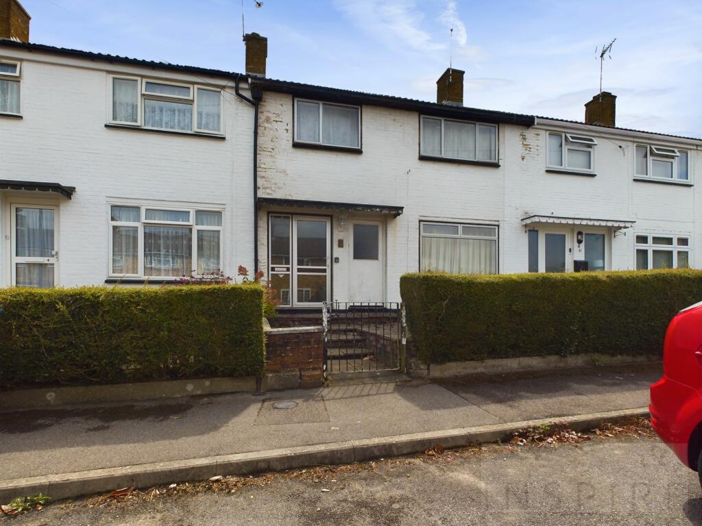
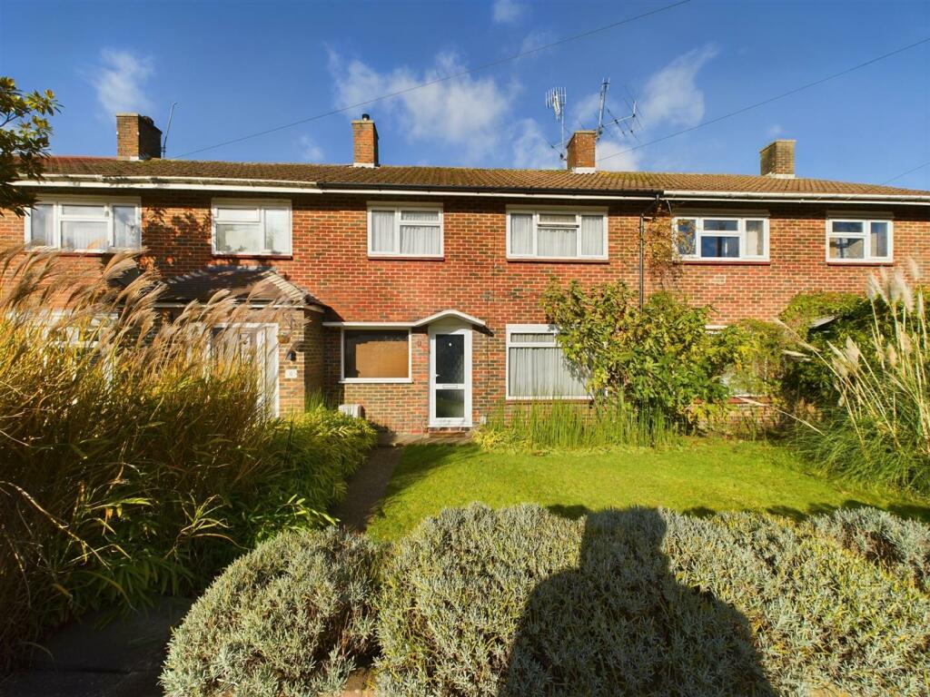
Property Information Report

5 Ely Close
Crawley, RH10 5JL

Key Facts
No lease data available
About Us

Let us Inspire you
Are you considering selling or letting in Crawley or the surrounding areas? Would you like to deal with property professionals, who have lived and worked in the area for many years?
If you are, we guarantee you will be impressed with our service. We are so confident that you will love our honest and pro-active approach that we don't need to tie you into restrictive sole agency agreements!
Find out more at our website
Title Plan
 Contains OS data © Crown copyright 2024
Title Information
Details provided by the Land Registry
- Title Number
- WSX83600
- Plot Size
- 0.04 acres (169 sq metres)
Street View
House Prices in Crawley
Last 12 months
-
Average Price Change
£1,467
Increased by 0%
-
Terraced Price Change
£1,976
Increased by 1%
Average House Prices
Last 12 months for all property types.
Since - July 2019
-
Average Price Change
£33,788
Increased by 12%
-
Terraced Price Change
£39,728
Increased by 14%
Average House Prices
Since 2019 for all property types
EPC
 No EPC data available for this property.
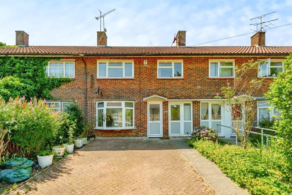
Properties For Sale in the Area
Ely Close
1 metres away
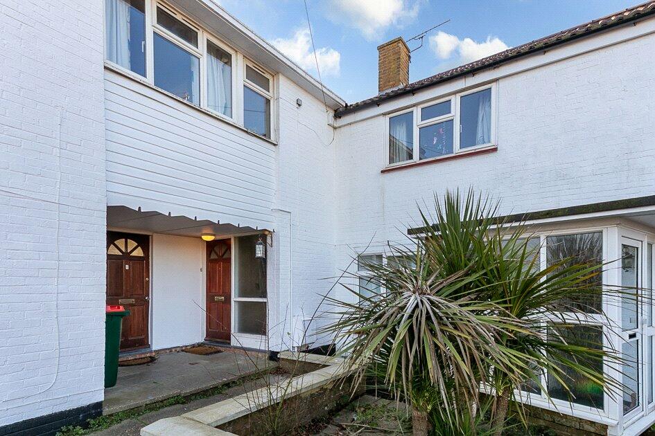
Ely Close
38 metres away
Oxford Road
64 metres away
Tilgate
72 metres away
Winchester Road
0.11 km away
Titmus Drive
0.12 km away
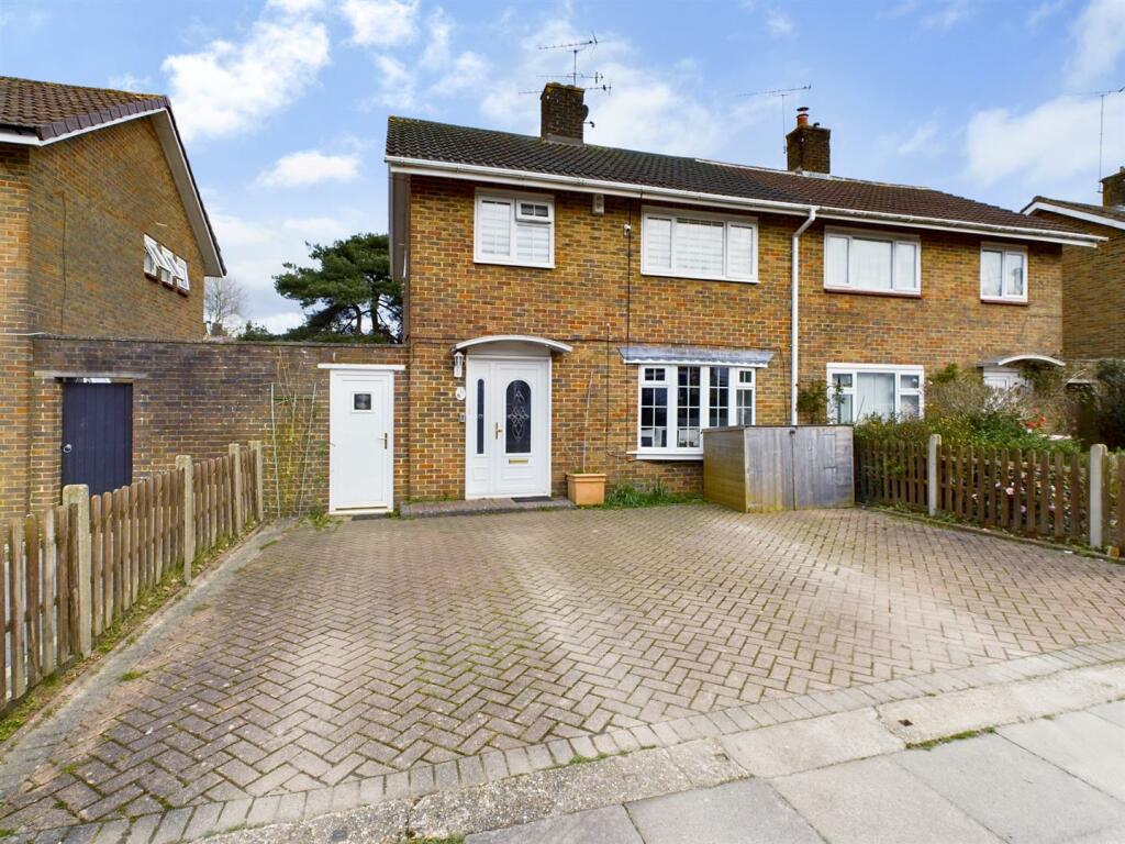
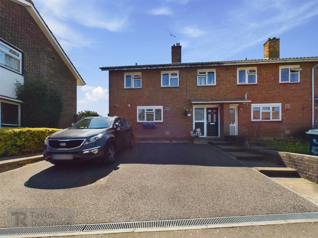
Recently Sold Properties in the Area
| Address | Property Type | Distance | Price | Completed |
|---|---|---|---|---|
|
5 Oxford Road Crawley, RH10 5JH |
Semi-Detached | 86 metres away | £394,000 | 10 months ago |
|
8 Winchester Road Crawley, RH10 5JW |
Terraced | 0.13 km away | £325,000 | 11 months ago |
|
1 Winchester Road Crawley, RH10 5JN |
Terraced | 0.13 km away | £332,500 | 3 months ago |
|
83 Gainsborough Road Crawley, RH10 5LJ |
Terraced | 0.20 km away | £430,000 | 11 months ago |
|
41 Peterborough Road Crawley, RH10 5ES |
Terraced | 0.23 km away | £293,000 | 6 months ago |
|
16 Hereford Close Crawley, RH10 5JB |
Terraced | 0.24 km away | £300,000 | 7 months ago |
|
7 Lincoln Close Crawley, RH10 5ET |
Terraced | 0.27 km away | £294,000 | 11 months ago |
|
51 Hogarth Road Crawley, RH10 5LA |
Terraced | 0.28 km away | £345,000 | 11 months ago |
|
38 Gloucester Road Crawley, RH10 5HP |
Terraced | 0.32 km away | £350,000 | 2 months ago |
|
78 Ashdown Drive Crawley, RH10 5EY |
Terraced | 0.34 km away | £327,500 | 10 months ago |
Schools
| Name | Type | Postcode | Distance | Rating |
|---|---|---|---|---|
| Desmond Anderson Primary Academy | Special, Nursery | RH10 5EA | 0.56 km | Good |
| The Oaks Primary School & Nursery | Primary | RH10 5DP | 0.59 km | Good |
| Thomas Bennett Community College | Secondary, Post 16 | RH10 5AD | 0.75 km | Good |
| Southgate Primary | Primary | RH10 6DG | 1.11 km | Good |
| St Francis of Assisi Catholic Primary School, Crawley | Primary | RH10 6HD | 1.14 km | Good |
Transport
Bus Stops & Stations
Details provided by Department for Transport
| Name | Distance |
|---|---|
| Tilgate Park, Tilgate Drive | 0.28 km |
| Nash Road | 0.34 km |
| Canterbury Road | 0.43 km |
| Whistler Close | 0.48 km |
| Recreation Huts, Tilgate Drive | 0.58 km |
Train Stations
Details provided by Department for Transport
| Name | Distance |
|---|---|
| Crawley Rail Station | 1.63 km |
| Three Bridges Rail Station | 2.52 km |
| Ifield Rail Station | 3.12 km |
Nearest Motorway
Details provided by Department for Transport
| Name | Distance |
|---|---|
| M23 | 1.71 km |
Coverage
- Average Broadband Speed:
-
3mb Basic
-
41mb Superfast
-
1000mb Ultrafast
-
1000mb Overall
- Mobile Coverage:
-
EEGood
-
O2Good
-
ThreeOkay
-
VodafoneOkay
Important Notice - This report is intended for general informational purposes only and should act only as a guide. The report is produced automatically on behalf of Inspire Estate Agents - Crawley by Street Insights, a product of Street Systems Ltd. Street Systems maintains and aggregates data from multiple public data sources and whilst every effort is made to keep information up to date and accurate, we make no representations or warranties of any kind about the accuracy, reliability or completeness of the information contained within this report for any purpose. Any reliance you place on the data contained within this report is strictly at your own risk. In no event will Inspire Estate Agents - Crawley or Street Systems Ltd be liable for any loss or damage including without limitation, indirect or consequential loss or damage, or any loss or damage whatsoever arising from loss of data or profits arising out of, or in connection with, the use of this report.
This report contains public sector information licensed under the Open Government License v3.0
Transaction data and HPI data is produced by HM Land Registry. Crown copyright and database rights 2024