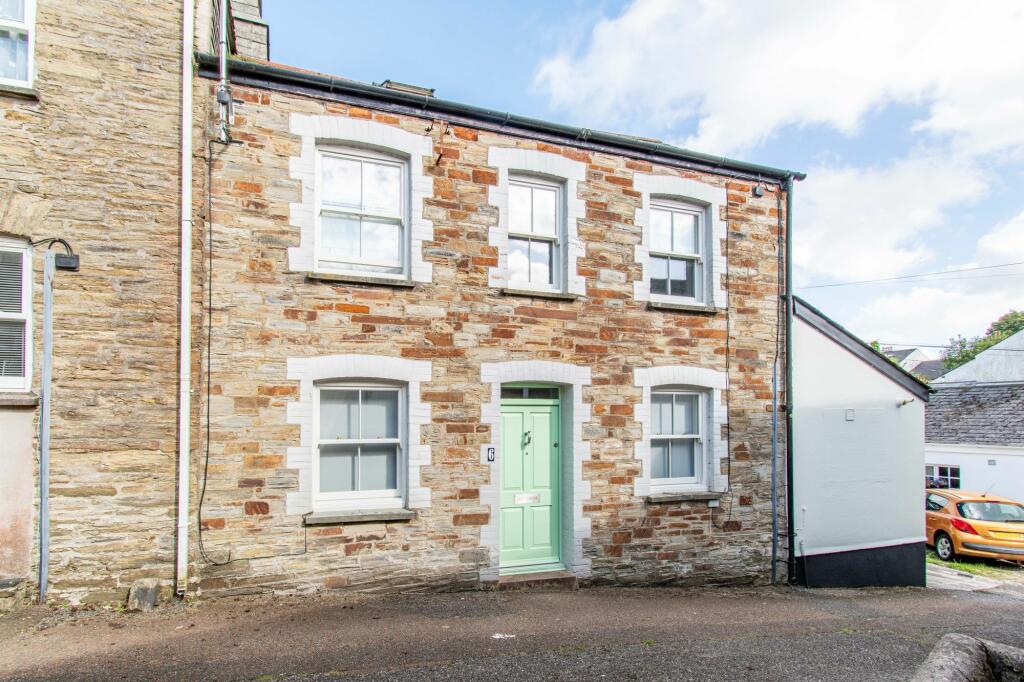
Buyer Information Report

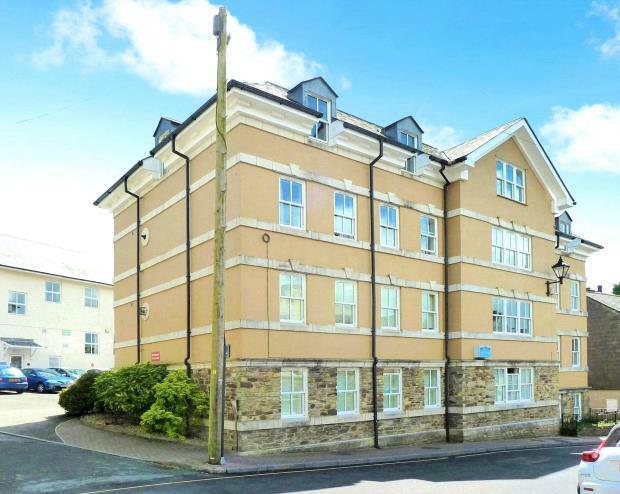
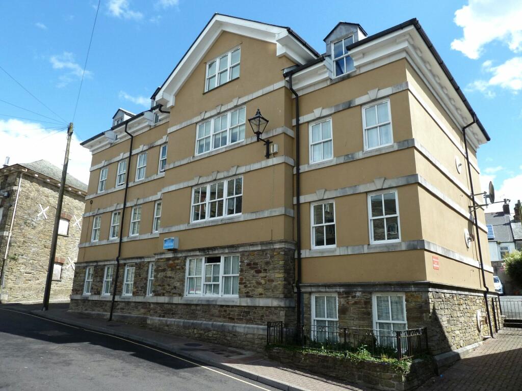
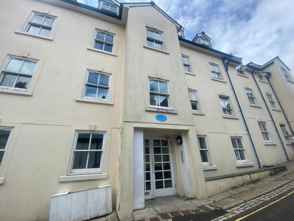
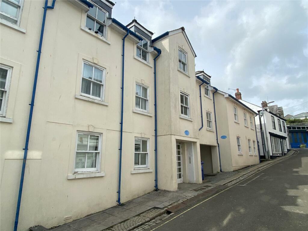
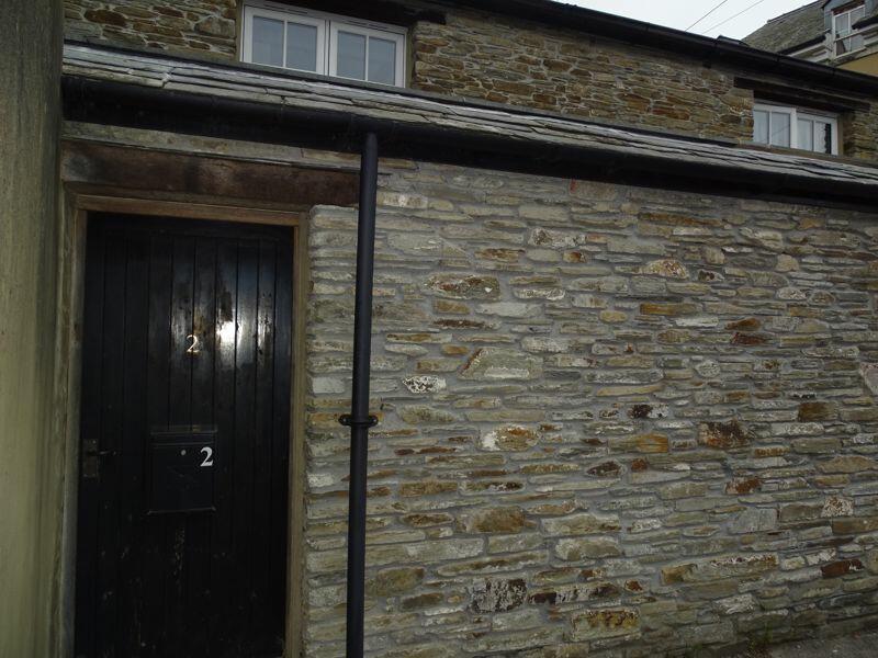
Castle Lane
Liskeard, PL14
Last Sold - Aug, 2003

Key Facts
Title Plan
 Contains OS data © Crown copyright 2024
Title Information
Details provided by the Land Registry
- Title Number
- CL37105
- Plot Size
- 0.02 acres (78 sq metres)
Street View
House Prices in Cornwall
Last 12 months
-
Average Price Change
£5,338
Decreased by 2%
-
Terraced Price Change
£2,213
Decreased by 1%
Average House Prices
Last 12 months for all property types.
Since - September 2019
-
Average Price Change
£63,046
Increased by 27%
-
Terraced Price Change
£54,299
Increased by 29%
Average House Prices
Since 2019 for all property types
EPC

EPC Information
Details taken from the EPC register
- Date
- 2024-09-12
- Valid Until
- 2034-09-11
- Energy Efficiency - Current
- 56
- Energy Efficiency - Potential
- 81
- Environmental Impact - Current
- 54
- Environmental Impact - Potential
- 81
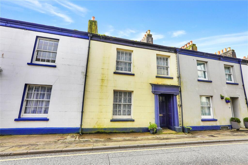
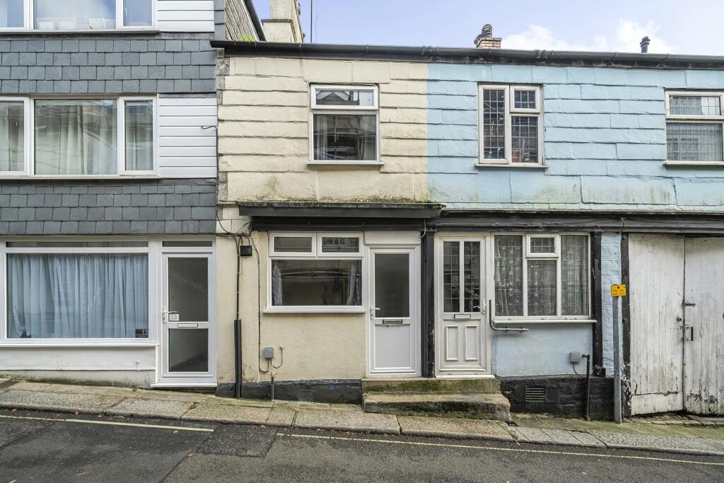
Properties For Sale in the Area
Castle Lane
Castle Street
44 metres away
Lower Lux Street
63 metres away
The Wellhouse
64 metres away
The Wellhouse
64 metres away
The Wellhouse
67 metres away
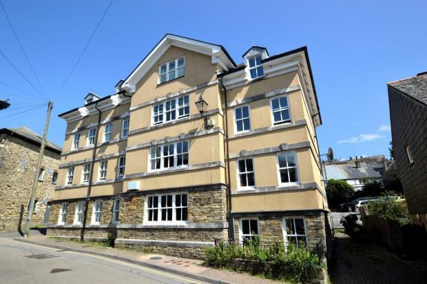
Properties To Let in the Area
Liskeard
64 metres away
Wedgwood Court
73 metres away
Liskeard
79 metres away
Well Lane
85 metres away
Liskeard Town Centre
0.17 km away
Bodgara Way
0.24 km away
Schools
| Name | Type | Postcode | Distance | Rating |
|---|---|---|---|---|
| Liskeard School and Community College | Special | PL14 3EA | 0.41 km | Good |
| Caradon Alternative Provision Academy | Special, Pru | PL14 6BS | 0.44 km | Not rated |
| St Martin's CofE Primary School | Nursery, Primary | PL14 3DE | 0.46 km | Good |
| Taliesin Education Ltd | Special, Independent | PL14 4DA | 0.93 km | Good |
| Liskeard Hillfort Primary School | Primary | PL14 6HZ | 1.02 km | Good |
Transport
Bus Stops & Stations
Details provided by Department for Transport
| Name | Distance |
|---|---|
| Lord Eliot Hotel, Castle Street | 98 metres |
| St Martins Church, Plymouth Road | 0.17 km |
| Post Office, Barras street | 0.19 km |
| Lloyds Bank | 0.20 km |
| Lake Lane | 0.30 km |
Train Stations
Details provided by Department for Transport
| Name | Distance |
|---|---|
| Liskeard Rail Station | 0.99 km |
| Coombe Junction Halt (Rail Station) | 1.69 km |
| St Keyne Wishing Well Halt (Rail Station) | 3.52 km |
| Menheniot Rail Station | 4.92 km |
Coverage
- Average Broadband Speed:
-
19mb Basic
-
1000mb Ultrafast
-
1000mb Overall
- Mobile Coverage:
-
EEGood
-
O2Good
-
ThreeGood
-
VodafoneGood
Recently Sold Properties in the Area
| Address | Property Type | Distance | Price | Completed |
|---|---|---|---|---|
|
7 Lower Lux Street Liskeard, PL14 3JL |
Terraced | 49 metres away | £75,000 | 5 months ago |
|
Flat 5, The Wellhouse, Well Lane Liskeard, PL14 3UB |
Flats/Maisonettes | 67 metres away | £112,000 | 7 months ago |
|
2 Church Street North Liskeard, PL14 3AX |
Terraced | 88 metres away | £110,000 | 10 months ago |
|
18 Castle Street Liskeard, PL14 3AU |
Detached | 90 metres away | £145,000 | 9 months ago |
|
Flat A, 1 Higher Lux Street Liskeard, PL14 3JU |
Flats/Maisonettes | 0.11 km away | £129,000 | 8 months ago |
|
20 Fore Street Liskeard, PL14 3JB |
Terraced | 0.11 km away | £71,000 | 6 months ago |
|
38 Church Street Liskeard, PL14 3AQ |
Terraced | 0.12 km away | £125,000 | 8 months ago |
|
7 Higher Lux Street Liskeard, PL14 3JU |
Terraced | 0.13 km away | £170,000 | 4 months ago |
|
8 Church Gate Liskeard, PL14 3AY |
Terraced | 0.15 km away | £122,000 | 10 months ago |
|
4 Church Street South Liskeard, PL14 3AZ |
Semi-Detached | 0.18 km away | £170,000 | 5 months ago |
Important Notice - This report is intended for general informational purposes only and should act only as a guide. The report is produced automatically on behalf of Parkes and Pearn - Parkes and Pearn by Street Insights, a product of Street Systems Ltd. Street Systems maintains and aggregates data from multiple public data sources and whilst every effort is made to keep information up to date and accurate, we make no representations or warranties of any kind about the accuracy, reliability or completeness of the information contained within this report for any purpose. Any reliance you place on the data contained within this report is strictly at your own risk. In no event will Parkes and Pearn - Parkes and Pearn or Street Systems Ltd be liable for any loss or damage including without limitation, indirect or consequential loss or damage, or any loss or damage whatsoever arising from loss of data or profits arising out of, or in connection with, the use of this report.
This report contains public sector information licensed under the Open Government License v3.0
Transaction data and HPI data is produced by HM Land Registry. Crown copyright and database rights 2024