Buyer Information Report

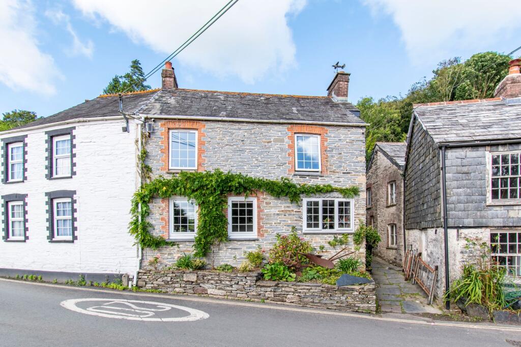
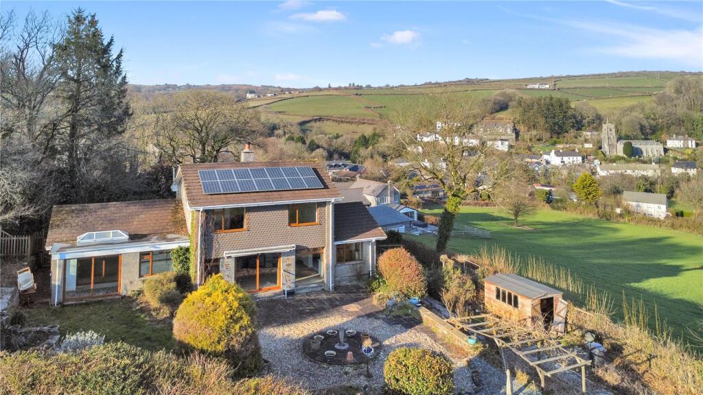
Loveny Road
St. Neot, Liskeard, PL14
Last Sold - Feb, 2018

Key Facts
Title Plan
 Contains OS data © Crown copyright 2025
Title Information
Details provided by the Land Registry
- Title Number
- CL35734
- Plot Size
- 0.03 acres (141 sq metres)
Street View
House Prices in Cornwall
Last 12 months
-
Average Price Change
£5,682
Increased by 2%
-
Semi-Detached Price Change
£8,460
Increased by 3%
Average House Prices
Last 12 months for all property types.
Since - March 2020
-
Average Price Change
£63,558
Increased by 28%
-
Semi-Detached Price Change
£66,662
Increased by 29%
Average House Prices
Since 2020 for all property types
EPC

EPC Information
Details taken from the EPC register
- Date
- 2015-07-17
- Valid Until
- 2025-07-16
- Energy Efficiency - Current
- 43
- Energy Efficiency - Potential
- 75
- Environmental Impact - Current
- 41
- Environmental Impact - Potential
- 71
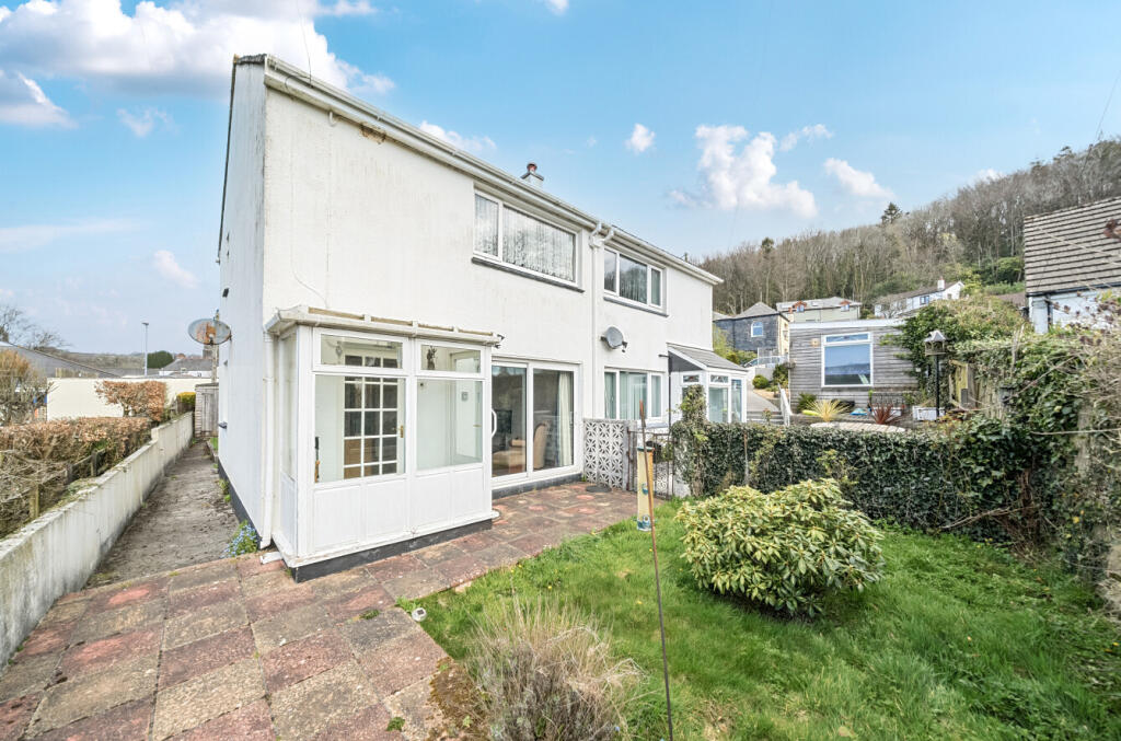
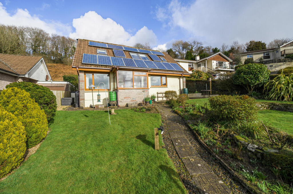
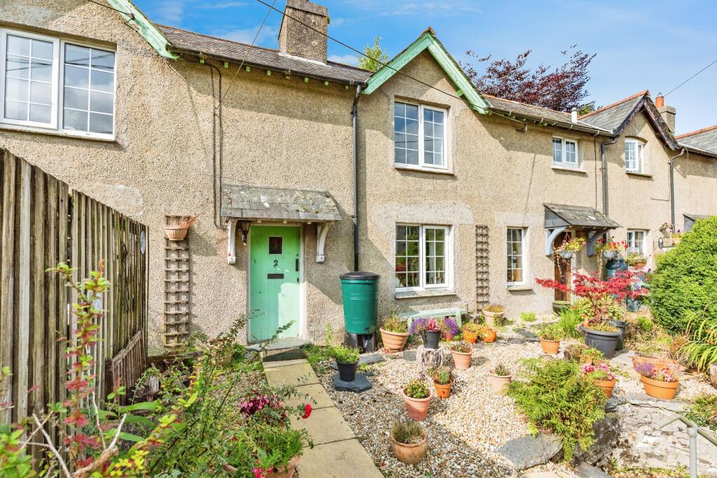
Properties For Sale in the Area
Loveny Road
92 metres away

Beech Close
92 metres away
Beech Close
92 metres away
Loveny Road
0.20 km away
St. Neot
0.23 km away
St. Neot
0.25 km away
Properties To Let in the Area
 We couldn’t find properties to let in the area for this property.
Schools
| Name | Type | Postcode | Distance | Rating |
|---|---|---|---|---|
| St Neot Community Primary School | Nursery, Primary | PL14 6NL | 93 metres | Outstanding |
| Dobwalls Community Primary School | Primary | PL14 4LU | 4.18 km | Good |
| Braddock CofE Primary School | Nursery, Primary | PL14 4TB | 4.63 km | Good |
Transport
Bus Stops & Stations
Details provided by Department for Transport
| Name | Distance |
|---|---|
| Loveny Close | 0.16 km |
| Car Park, Tripp Hill | 0.26 km |
| Carnglaze Caverns | 1.08 km |
| Carnglaze Cavern | 1.09 km |
Train Stations
Details provided by Department for Transport
| Name | Distance |
|---|
Coverage
- Average Broadband Speed:
-
2mb Basic
-
74mb Superfast
-
1800mb Ultrafast
-
1800mb Overall
- Mobile Coverage:
-
EEPoor
-
O2Good
-
ThreePoor
-
VodafonePoor
Recently Sold Properties in the Area
| Address | Property Type | Distance | Price | Completed |
|---|---|---|---|---|
|
16 Loveny Close St. Neot, Liskeard, PL14 6NT |
Detached | 0.20 km away | £390,000 | 3 months ago |
|
2 Lampen Terrace St. Neot, Liskeard, PL14 6ND |
Terraced | 0.23 km away | £220,000 | 2 months ago |
|
Taey Sekul St. Neot, Liskeard, PL14 6NG |
Detached | 0.34 km away | £485,000 | 10 months ago |
|
Millers Meadow St. Neot, Liskeard, PL14 6PS |
Detached | 0.58 km away | £725,000 | 6 months ago |
Important Notice - This report is intended for general informational purposes only and should act only as a guide. The report is produced automatically on behalf of Parkes and Pearn - Parkes and Pearn by Street Insights, a product of Street Systems Ltd. Street Systems maintains and aggregates data from multiple public data sources and whilst every effort is made to keep information up to date and accurate, we make no representations or warranties of any kind about the accuracy, reliability or completeness of the information contained within this report for any purpose. Any reliance you place on the data contained within this report is strictly at your own risk. In no event will Parkes and Pearn - Parkes and Pearn or Street Systems Ltd be liable for any loss or damage including without limitation, indirect or consequential loss or damage, or any loss or damage whatsoever arising from loss of data or profits arising out of, or in connection with, the use of this report.
This report contains public sector information licensed under the Open Government License v3.0
Transaction data and HPI data is produced by HM Land Registry. Crown copyright and database rights 2025