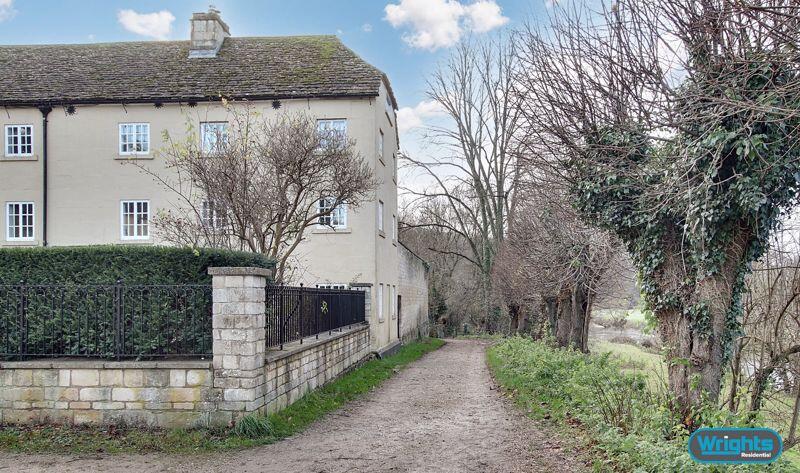
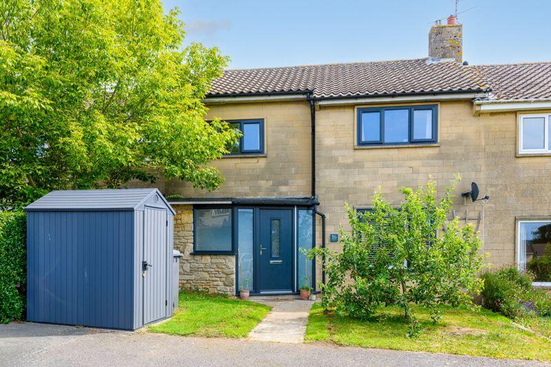
Property Information Report

18 Bobbin Lane
Westwood, Bradford-On-Avon, BA15 2DL
Estimated Rental Value - £1,475 PCM
Last Sold - Jun, 2023
Properties To Let in the Area
Chestnut Grove
0.21 km away
Lower Westwood
0.26 km away
BA15
0.67 km away
Avoncliff
0.69 km away
Key Facts
Title Plan
Title Information
Details provided by the Land Registry
- Title Number
- WT45166
- Plot Size
- 0.09 acres (347 sq metres)
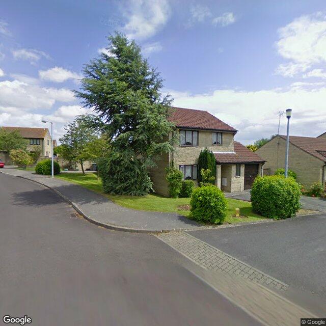
Street View
House Prices in Wiltshire
Last 12 months
-
Average Price Change
£21,826
Increased by 7%
-
Detached Price Change
£34,270
Increased by 7%
Average House Prices
Last 12 months for all property types.
Since Last Sale - 26th June 2023
-
Average Price Change
£12,818
Increased by 4%
-
Detached Price Change
£15,479
Increased by 3%
Average House Prices
Since last sale in 2023 for all property types
EPC
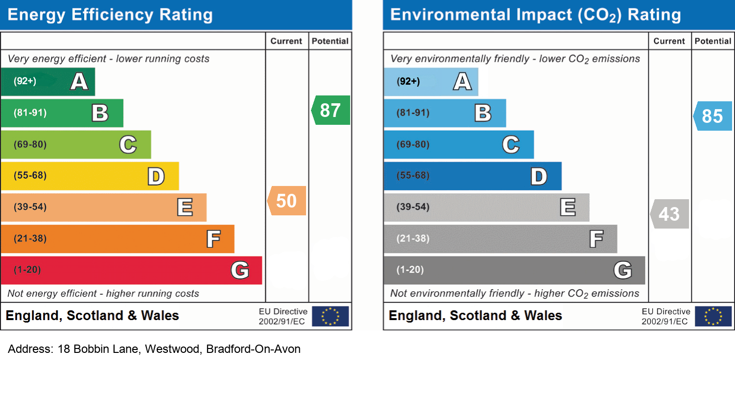
EPC Information
Details taken from the EPC register
- Date
- 2022-03-11
- Valid Until
- 2032-03-10
- Energy Efficiency - Current
- 67
- Energy Efficiency - Potential
- 86
- Environmental Impact - Current
- 63
- Environmental Impact - Potential
- 84
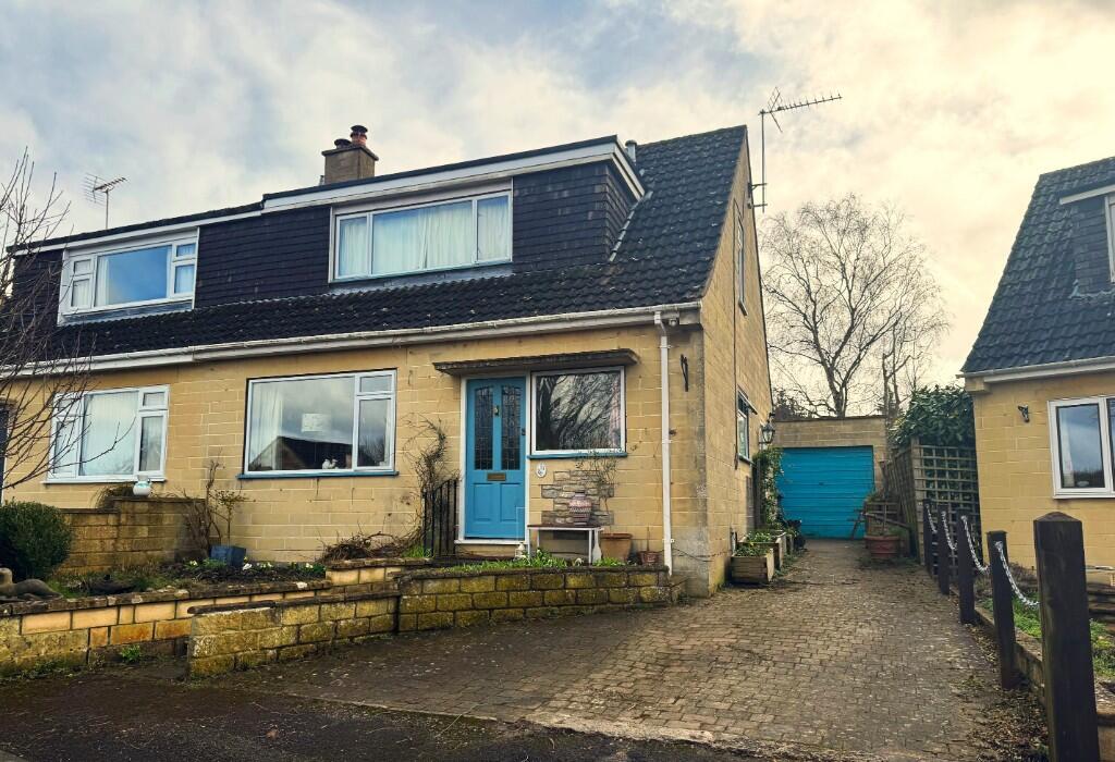
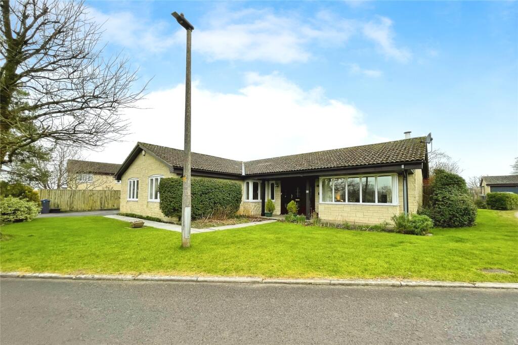
Properties For Sale in the Area
Westwood
23 metres away
Tynings Way
91 metres away
Westwood
0.13 km away
Boswell Road
0.13 km away
Lower Westwood
0.21 km away
The Pastures
0.23 km away
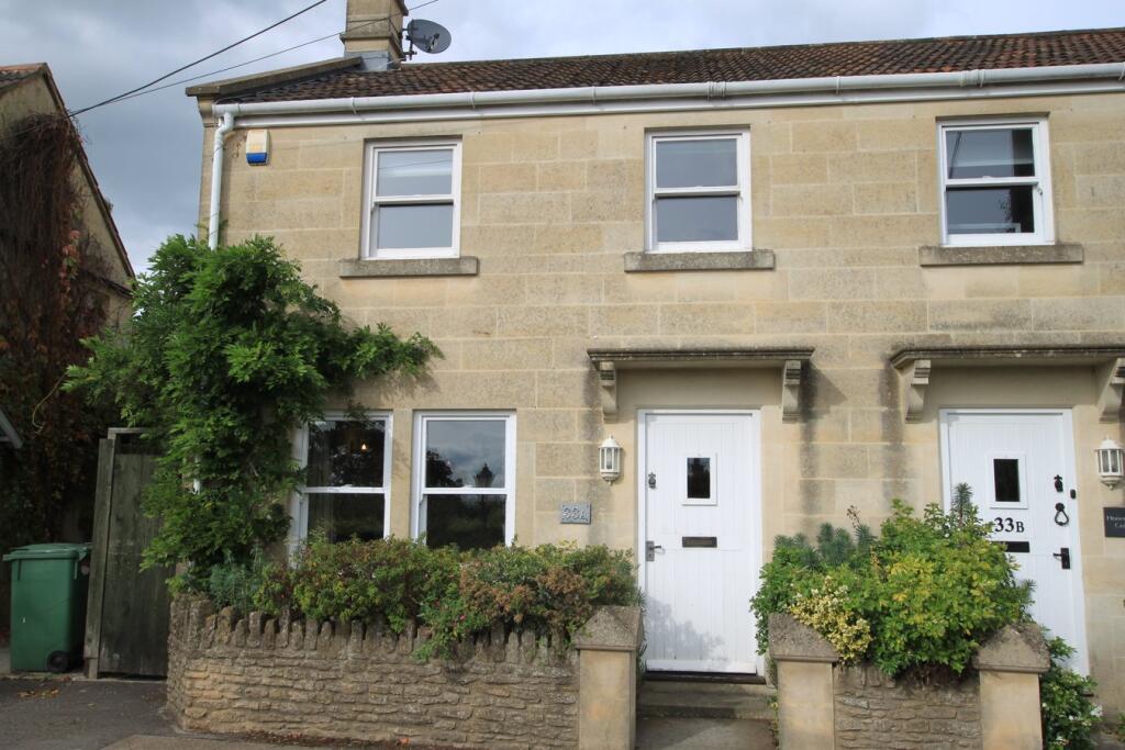
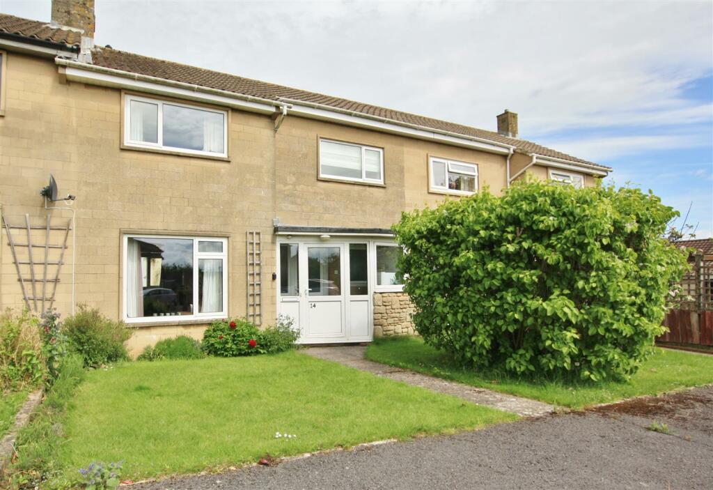
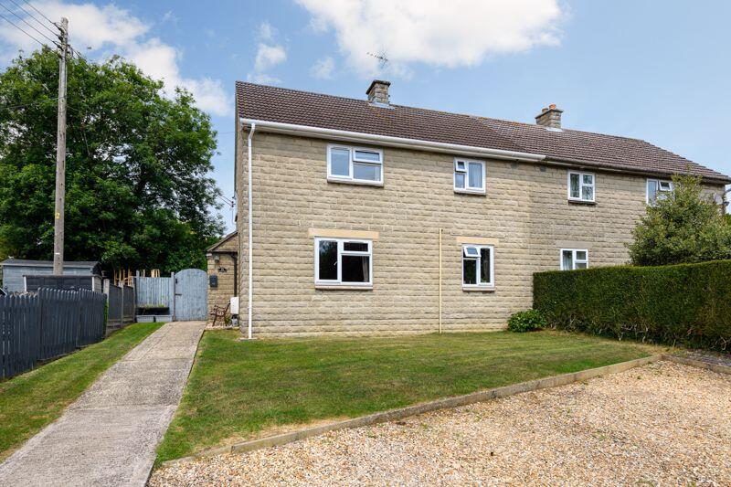
Recently Sold Properties in the Area
| Address | Property Type | Distance | Price | Completed |
|---|---|---|---|---|
|
51 Bobbin Lane Westwood, Bradford-On-Avon, BA15 2DL |
Detached | 74 metres away | £445,000 | 7 months ago |
|
39 Tynings Way Lower Westwood, Bradford-On-Avon, BA15 2BU |
Terraced | 86 metres away | £277,500 | 9 months ago |
|
6 Orchard Close Lower Westwood, Bradford-On-Avon, BA15 2AP |
Detached | 0.26 km away | £488,000 | 9 months ago |
|
16 The Pastures Lower Westwood, Bradford-On-Avon, BA15 2BH |
Detached | 0.31 km away | £525,000 | 10 months ago |
|
45 Lower Westwood, Bradford-On-Avon, BA15 2AW |
Semi-Detached | 0.35 km away | £645,000 | 7 months ago |
Schools
| Name | Type | Postcode | Distance | Rating |
|---|---|---|---|---|
| Westwood-with-Iford Primary School | Primary | BA15 2BY | 0.15 km | Not rated |
| Westwood-with-Iford Primary School | Primary | BA15 2BY | 0.17 km | Not rated |
| LUMIAR STOWFORD SCHOOL | Independent, Primary | BA14 9LH | 1.77 km | Not rated |
| Winsley CoE VC Primary School | Primary | BA15 2JN | 1.90 km | Good |
| Freshford Church School | Primary | BA2 7WE | 2.01 km | Good |
Transport
Bus Stops & Stations
Details provided by Department for Transport
| Name | Distance |
|---|---|
| Tynings Way | 0.11 km |
| Post Office, Tynings Way | 0.14 km |
| Turning Circle, Bobbin Lane | 0.17 km |
| Boswell Road | 0.24 km |
| The Pastures, Westwood Road | 0.34 km |
Train Stations
Details provided by Department for Transport
| Name | Distance |
|---|---|
| Avoncliff Rail Station | 0.77 km |
| Freshford Rail Station | 1.88 km |
| Bradford-On-Avon Rail Station | 2.21 km |
| Trowbridge Rail Station | 4.66 km |
Nearest Motorway
Details provided by Department for Transport
| Name | Distance |
|---|---|
| M4 | 19.44 km |
Coverage
- Average Broadband Speed:
-
3mb Basic
-
50mb Superfast
-
50mb Overall
- Mobile Coverage:
-
EEOkay
-
O2Good
-
ThreeGood
-
VodafoneOkay
About Us

Kingstons
Kingstons Estate Agents have been successfully selling and letting residential and commercial properties in and around Bradford on Avon since 1994.
Important Notice - This report is intended for general informational purposes only and should act only as a guide. The report is produced automatically on behalf of Kingstons Estate Agents - Bradford on Avon by Street Insights, a product of Street Systems Ltd. Street Systems maintains and aggregates data from multiple public data sources and whilst every effort is made to keep information up to date and accurate, we make no representations or warranties of any kind about the accuracy, reliability or completeness of the information contained within this report for any purpose. Any reliance you place on the data contained within this report is strictly at your own risk. In no event will Kingstons Estate Agents - Bradford on Avon or Street Systems Ltd be liable for any loss or damage including without limitation, indirect or consequential loss or damage, or any loss or damage whatsoever arising from loss of data or profits arising out of, or in connection with, the use of this report.
This report contains public sector information licensed under the Open Government License v3.0
Transaction data and HPI data is produced by HM Land Registry. Crown copyright and database rights 2025