Property Information Report
Overdale Road
Coventry, CV5
Last Sold - Feb, 2003

Description
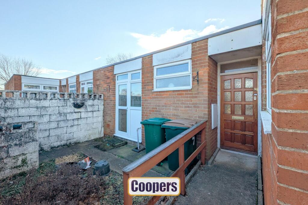
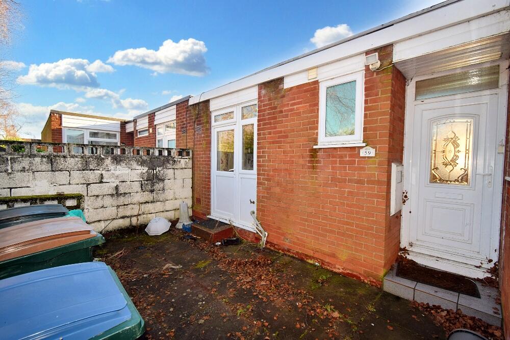
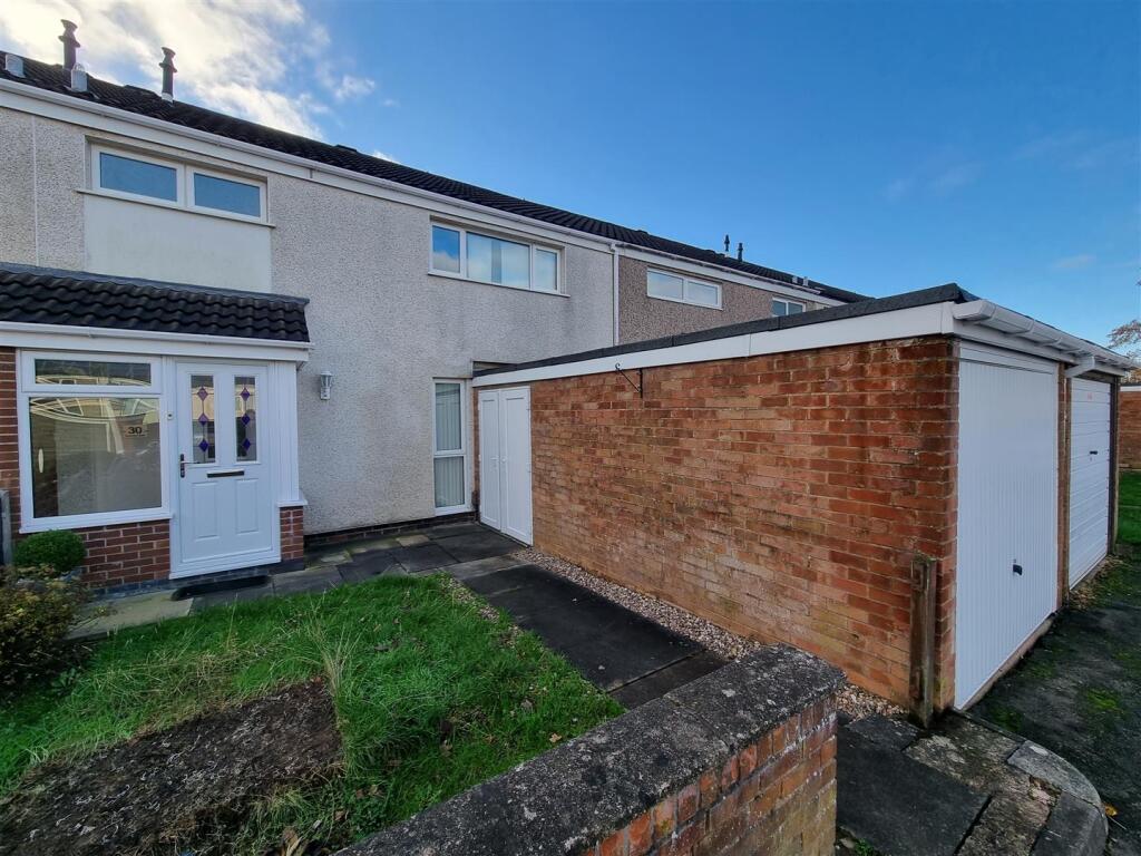
This two-bedroom bungalow combines convenience and practicality, making it ideal for those seeking single-level living. The entrance hall leads to two double bedrooms and includes useful storage cupboards. A WC and a separate shower room complete the central hallway’s functionality.
The lounge at the rear features large patio doors, providing ample natural light and direct access to the garden. Off the lounge, the kitchen offers a practical space with a door leading to the front yard, enhancing the layout’s accessibility.
The private rear garden features a raised area at the back, adding dimension to the outdoor space, perfect for seating or light gardening. The front yard is low-maintenance and provides an attractive approach to the property. With no onward chain, this home offers a straightforward purchase opportunity.
Key Facts
Title Plan
 Contains OS data © Crown copyright 2025
Title Information
Details provided by the Land Registry
- Title Number
- WM446273
- Plot Size
- 0.06 acres (225 sq metres)
Street View
House Prices in Coventry
Last 12 months
-
Average Price Change
£13,178
Increased by 6%
-
Terraced Price Change
£11,916
Increased by 6%
Average House Prices
Last 12 months for all property types.
Since - February 2020
-
Average Price Change
£45,827
Increased by 25%
-
Terraced Price Change
£43,605
Increased by 26%
Average House Prices
Since 2020 for all property types
EPC

EPC Information
Details taken from the EPC register
- Date
- 2024-09-20
- Valid Until
- 2034-09-19
- Energy Efficiency - Current
- 58
- Energy Efficiency - Potential
- 86
- Environmental Impact - Current
- 51
- Environmental Impact - Potential
- 85
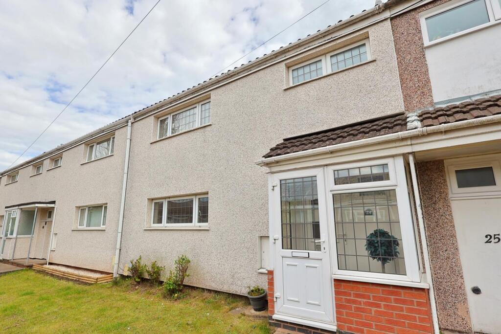
Properties For Sale in the Area
Overdale Road
Overdale Road
94 metres away
Brookside Avenue
0.12 km away
Brookside Avenue
0.12 km away
Brookside Avenue
0.12 km away
Brookside Avenue
0.13 km away
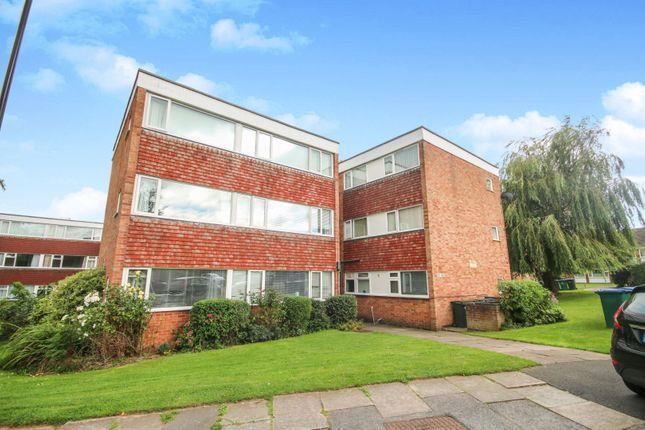
Properties To Let in the Area
Greendale Road
0.13 km away
Lyndale Close
0.14 km away
Rubens Close
0.15 km away
Rubens Close
0.15 km away
Greendale Road
0.16 km away
Greendale Road
0.16 km away
Schools
| Name | Type | Postcode | Distance | Rating |
|---|---|---|---|---|
| Whoberley Hall Primary School | Nursery, Primary | CV5 8AJ | 0.13 km | Good |
| St Christopher Primary School | Nursery, Primary | CV5 9JG | 0.22 km | Good |
| St John's Church of England Academy | Primary | CV5 9HZ | 0.53 km | Good |
| St John Vianney Catholic Primary School | Nursery, Primary | CV5 7GX | 0.76 km | Good |
| Allesley Hall Primary School | Primary | CV5 9NG | 0.94 km | Good |
Transport
Train Stations
Details provided by Department for Transport
| Name | Distance |
|---|---|
| Canley Rail Station | 1.39 km |
| Coventry Rail Station | 2.99 km |
| Tile Hill Rail Station | 3.40 km |
Nearest Motorway
Details provided by Department for Transport
| Name | Distance |
|---|---|
| M6 | 7.07 km |
Coverage
- Average Broadband Speed:
-
5mb Basic
-
80mb Superfast
-
1800mb Ultrafast
-
1800mb Overall
- Mobile Coverage:
-
EEOkay
-
O2Good
-
ThreeGood
-
VodafoneOkay
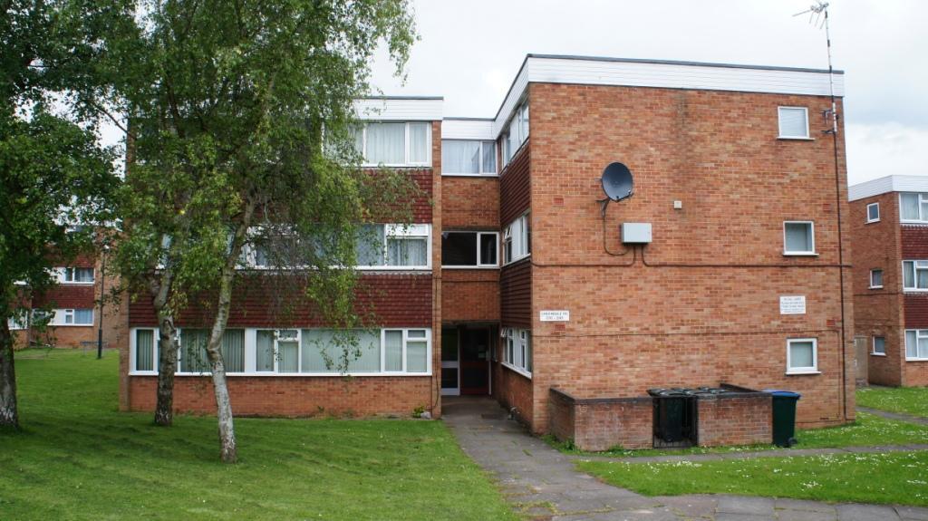
Recently Sold Properties in the Area
| Address | Property Type | Distance | Price | Completed |
|---|---|---|---|---|
|
210 Greendale Road Coventry, CV5 8AH |
Flats/Maisonettes | 0.13 km away | £95,000 | 8 months ago |
|
21 Lyndale Close Coventry, CV5 8AE |
Semi-Detached | 0.14 km away | £197,500 | 8 months ago |
|
39 Overdale Road Coventry, CV5 8AJ |
Semi-Detached | 0.15 km away | £200,000 | 11 months ago |
|
20 Rubens Close Coventry, CV5 8LU |
Terraced | 0.15 km away | £200,000 | 3 months ago |
|
264 Greendale Road Coventry, CV5 8AH |
Flats/Maisonettes | 0.16 km away | £93,000 | 6 months ago |
|
85 Raphael Close Coventry, CV5 8LS |
Terraced | 0.19 km away | £190,000 | 10 months ago |
|
112 Greendale Road Coventry, CV5 8LP |
Flats/Maisonettes | 0.20 km away | £70,000 | 11 months ago |
|
23 Brookside Avenue Coventry, CV5 8AG |
Semi-Detached | 0.22 km away | £305,000 | 6 months ago |
|
49 Utrillo Close Coventry, CV5 8LW |
Flats/Maisonettes | 0.22 km away | £106,000 | 1 month ago |
|
134 Greendale Road Coventry, CV5 8LP |
Flats/Maisonettes | 0.23 km away | £115,000 | 6 months ago |
Important Notice - This report is intended for general informational purposes only and should act only as a guide. The report is produced automatically on behalf of Coopers Estate Agents - Coventry by Street Insights, a product of Street Systems Ltd. Street Systems maintains and aggregates data from multiple public data sources and whilst every effort is made to keep information up to date and accurate, we make no representations or warranties of any kind about the accuracy, reliability or completeness of the information contained within this report for any purpose. Any reliance you place on the data contained within this report is strictly at your own risk. In no event will Coopers Estate Agents - Coventry or Street Systems Ltd be liable for any loss or damage including without limitation, indirect or consequential loss or damage, or any loss or damage whatsoever arising from loss of data or profits arising out of, or in connection with, the use of this report.
This report contains public sector information licensed under the Open Government License v3.0
Transaction data and HPI data is produced by HM Land Registry. Crown copyright and database rights 2025