Property Information Report
Siddeley Avenue
Coventry, CV3

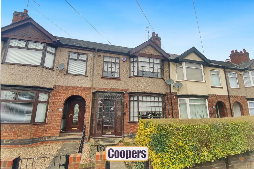
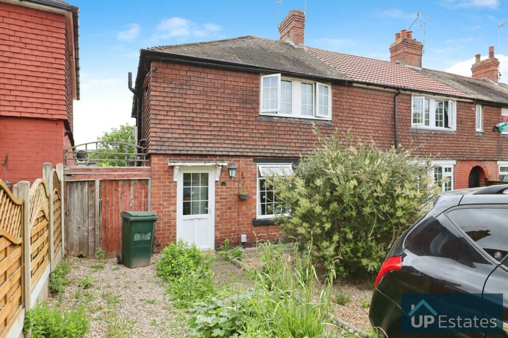
Description
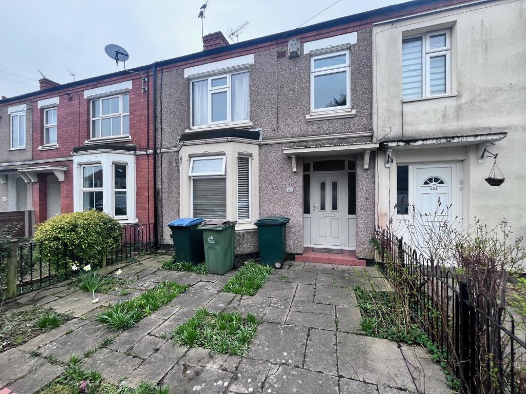
A well maintained terraced family home now in need of some modernisation to suit personal taste. On entering the large hallway you can access the modern wet room and open plan lounge diner. The extended kitchen is well fitted with patio doors leading to the garden. Upstairs there are three bedrooms and an updated bathroom.
The front and rear gardens are very well maintained with flowers, shrubs and bushes. The garage is accessed at the rear of the property.
This property is being sold with vacant possession and needs to be viewed to fully appreciate the potential this home offers.
Key Facts
Title Plan
 Contains OS data © Crown copyright 2025
Title Information
Details provided by the Land Registry
- Title Number
- WK102576
- Plot Size
- 0.04 acres (181 sq metres)
Street View
House Prices in Coventry
Last 12 months
-
Average Price Change
£13,178
Increased by 6%
-
Terraced Price Change
£11,916
Increased by 6%
Average House Prices
Last 12 months for all property types.
Since - February 2020
-
Average Price Change
£45,827
Increased by 25%
-
Terraced Price Change
£43,605
Increased by 26%
Average House Prices
Since 2020 for all property types
EPC

EPC Information
Details taken from the EPC register
- Date
- 2025-01-22
- Valid Until
- 2035-01-21
- Energy Efficiency - Current
- 66
- Energy Efficiency - Potential
- 84
- Environmental Impact - Current
- 61
- Environmental Impact - Potential
- 82
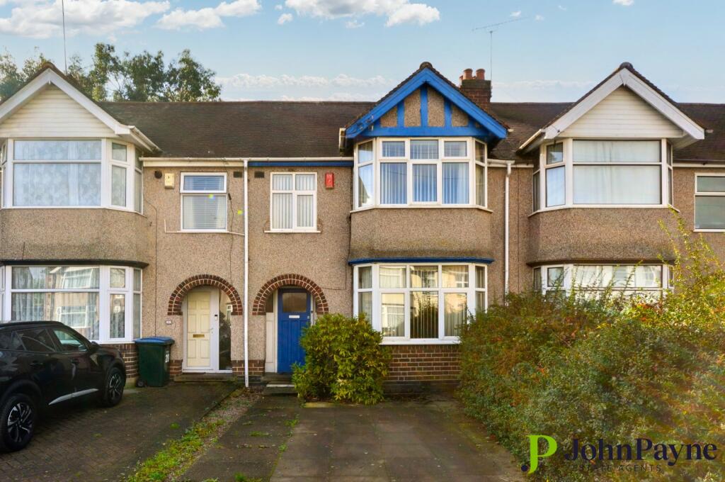
Properties For Sale in the Area
Siddeley Avenue
73 metres away
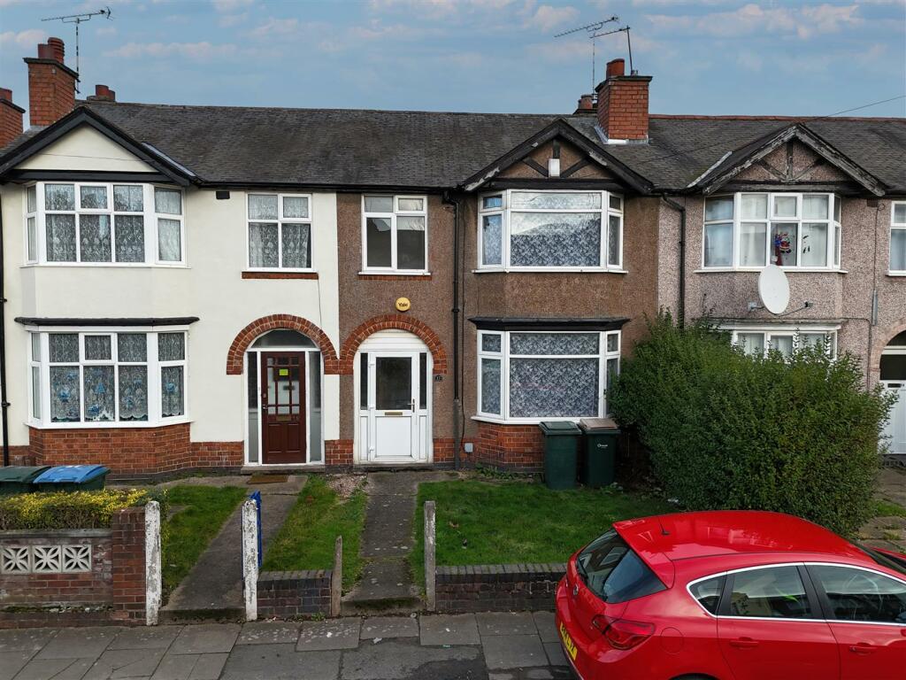
Armstrong Avenue
74 metres away
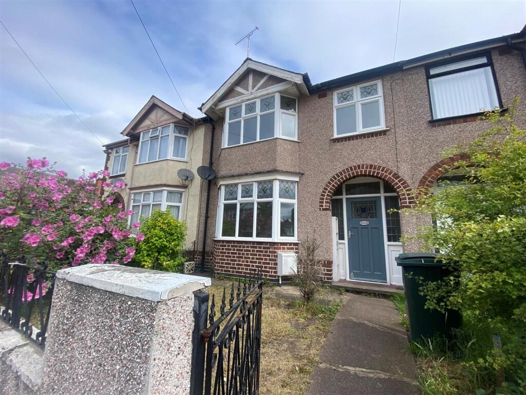
Armstrong Avenue
0.10 km away
Siddeley Avenue
0.11 km away
Lodge Road
0.12 km away
Ernsford Avenue
0.15 km away
Properties To Let in the Area
Armstrong Avenue
87 metres away

Dawson Road
93 metres away
Dawson Road
93 metres away
Dawson Road
93 metres away
Bulls Head Lane
0.19 km away
Siddeley Avenue
0.21 km away
Schools
| Name | Type | Postcode | Distance | Rating |
|---|---|---|---|---|
| Aldermoor Farm Primary School | Nursery, Primary | CV3 1DP | 0.35 km | Good |
| Pattison College | Independent, Nursery, Primary, Post 16 | CV3 1FQ | 0.49 km | Not rated |
| Gosford Park Primary School | Nursery, Primary | CV1 2SF | 0.90 km | Not rated |
| Sacred Heart Catholic Primary School | Nursery, Primary | CV2 4DW | 0.95 km | Not rated |
| Blue Coat Church of England School and Music College | Secondary, Post 16 | CV1 2BA | 1.05 km | Good |
Transport
Train Stations
Details provided by Department for Transport
| Name | Distance |
|---|---|
| Coventry Rail Station | 2.44 km |
| Canley Rail Station | 4.76 km |
Nearest Motorway
Details provided by Department for Transport
| Name | Distance |
|---|---|
| M6 | 5.32 km |
Airports
Details provided by Department for Transport
| Name | Distance |
|---|---|
| Coventry Airport | 3.72 km |
| Birmingham International Airport | 18.14 km |
| East Midlands Airport | 48.32 km |
| London Oxford Airport | 64.33 km |
| Gloucestershire Airport | 73.51 km |
Coverage
- Average Broadband Speed:
-
6mb Basic
-
51mb Superfast
-
1800mb Ultrafast
-
1800mb Overall
- Mobile Coverage:
-
EEOkay
-
O2Good
-
ThreeGood
-
VodafoneOkay
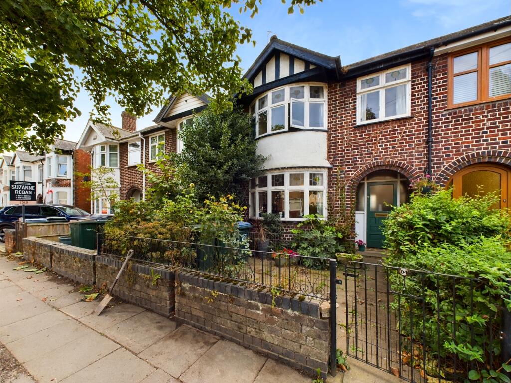
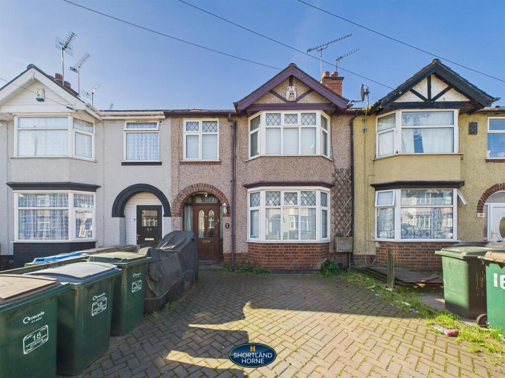
Recently Sold Properties in the Area
| Address | Property Type | Distance | Price | Completed |
|---|---|---|---|---|
|
98 Siddeley Avenue Coventry, CV3 1GD |
Terraced | 0.12 km away | £235,000 | 6 months ago |
|
37 Dawson Road Coventry, CV3 1FX |
Terraced | 0.14 km away | £195,000 | 8 months ago |
|
3 Ernsford Avenue Coventry, CV3 1BT |
Terraced | 0.15 km away | £213,000 | 1 year ago |
|
121 Bulls Head Lane Coventry, CV3 1FW |
Terraced | 0.17 km away | £169,000 | 4 months ago |
|
4 The Boxhill Coventry, CV3 1ES |
Terraced | 0.20 km away | £100,000 | 9 months ago |
|
1 Dawson Road Coventry, CV3 1FX |
Terraced | 0.22 km away | £215,000 | 7 months ago |
|
4 Molesworth Avenue Coventry, CV3 1BU |
Terraced | 0.25 km away | £200,000 | 7 months ago |
|
18 Glencoe Road Coventry, CV3 1GL |
Terraced | 0.25 km away | £217,000 | 5 months ago |
|
152 Siddeley Avenue Coventry, CV3 1GF |
Terraced | 0.26 km away | £175,000 | 11 months ago |
|
169 Signals Drive Coventry, CV3 1QD |
Flats/Maisonettes | 0.26 km away | £135,000 | 7 months ago |
Important Notice - This report is intended for general informational purposes only and should act only as a guide. The report is produced automatically on behalf of Coopers Estate Agents - Coventry by Street Insights, a product of Street Systems Ltd. Street Systems maintains and aggregates data from multiple public data sources and whilst every effort is made to keep information up to date and accurate, we make no representations or warranties of any kind about the accuracy, reliability or completeness of the information contained within this report for any purpose. Any reliance you place on the data contained within this report is strictly at your own risk. In no event will Coopers Estate Agents - Coventry or Street Systems Ltd be liable for any loss or damage including without limitation, indirect or consequential loss or damage, or any loss or damage whatsoever arising from loss of data or profits arising out of, or in connection with, the use of this report.
This report contains public sector information licensed under the Open Government License v3.0
Transaction data and HPI data is produced by HM Land Registry. Crown copyright and database rights 2025