Property Information Report
Glover Street
Coventry, CV3
Last Sold - Feb, 2020

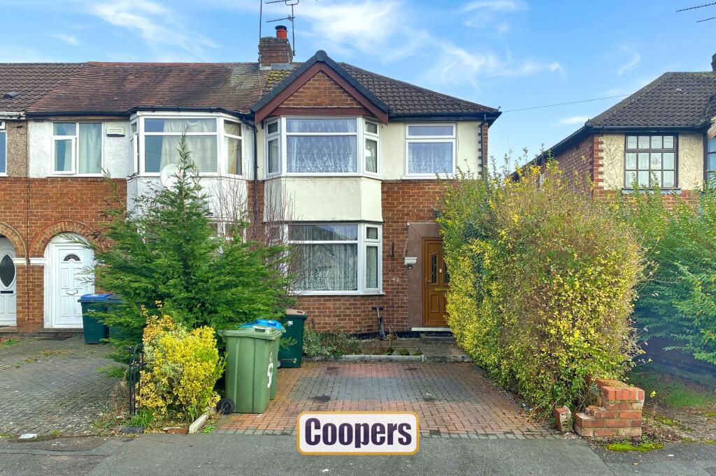
Description
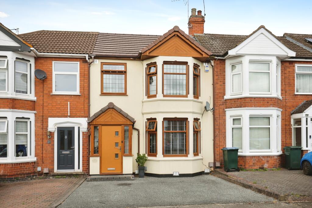
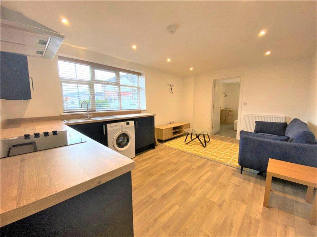
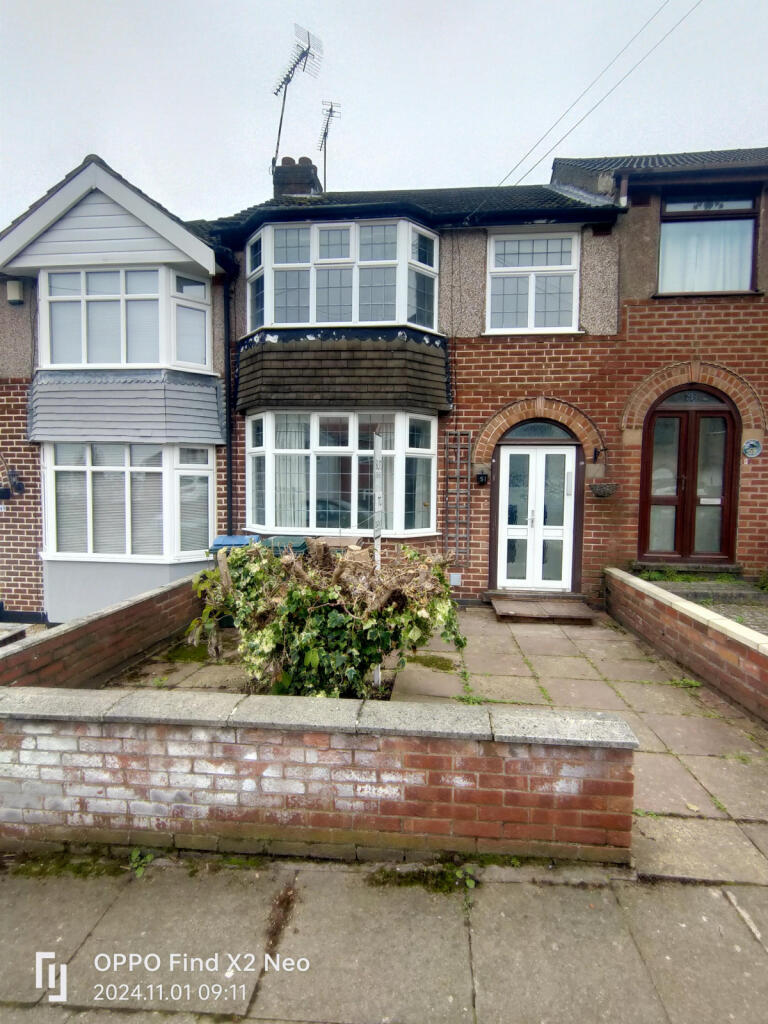
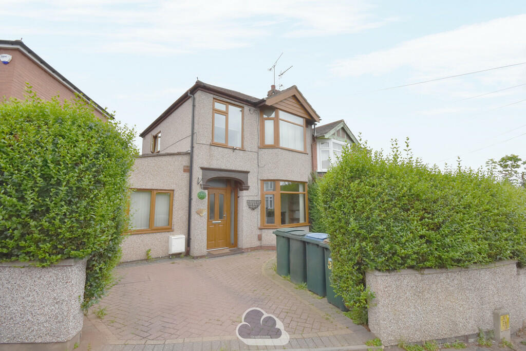
This three-bedroom home is situated in a highly convenient location, close to Coventry city centre, the train station, and a range of local amenities. The property features a driveway to the front and a porch leading into an entrance hallway. On the ground floor, there is an L-shaped living and dining area that leads into a full-width kitchen at the rear, with enough space for a small dining table.
Upstairs, the property includes three well-sized bedrooms and a family bathroom. Outside, the rear garden is a good size, mainly laid to lawn, offering plenty of potential for outdoor use. While the property requires modernisation, it provides an excellent opportunity to create a home tailored to individual needs in a sought-after area.
Key Facts
Title Plan
 Contains OS data © Crown copyright 2025
Title Information
Details provided by the Land Registry
- Title Number
- WK181122
- Plot Size
- 0.05 acres (192 sq metres)
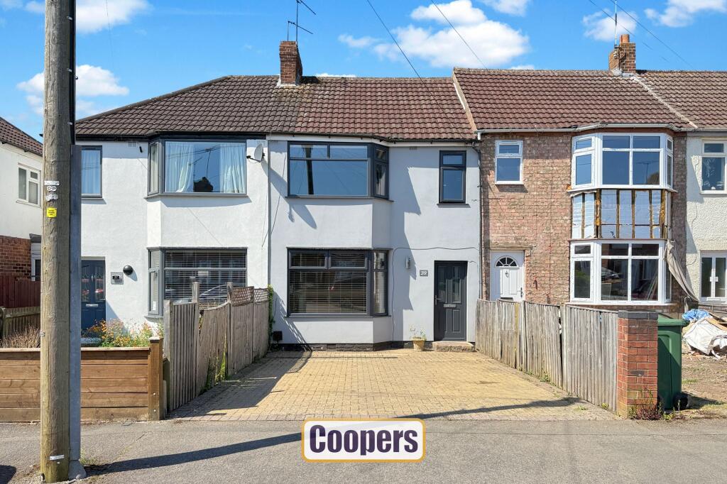
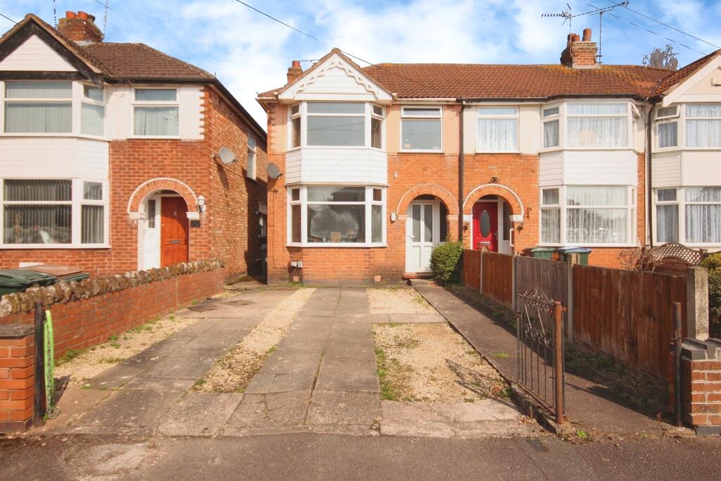
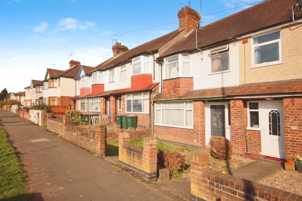
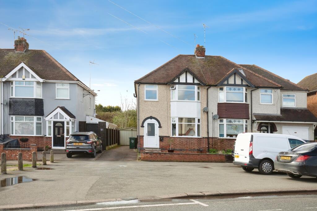
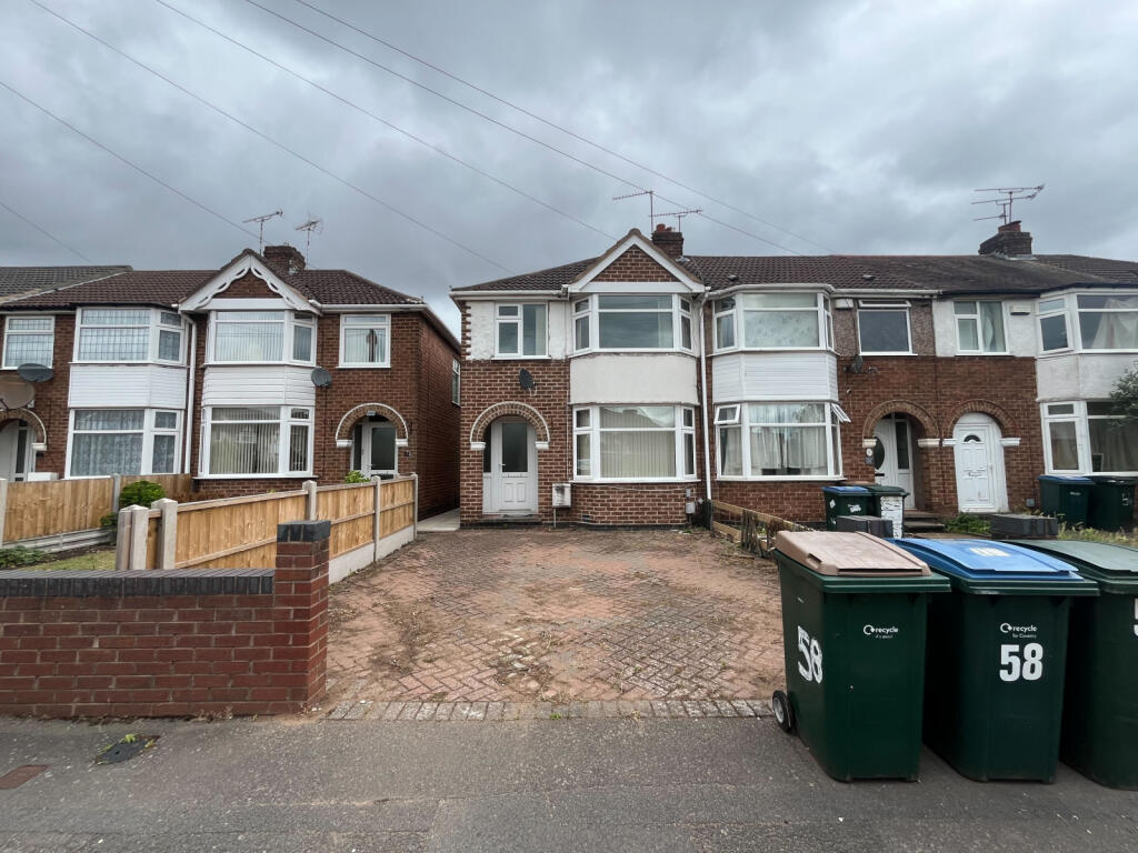
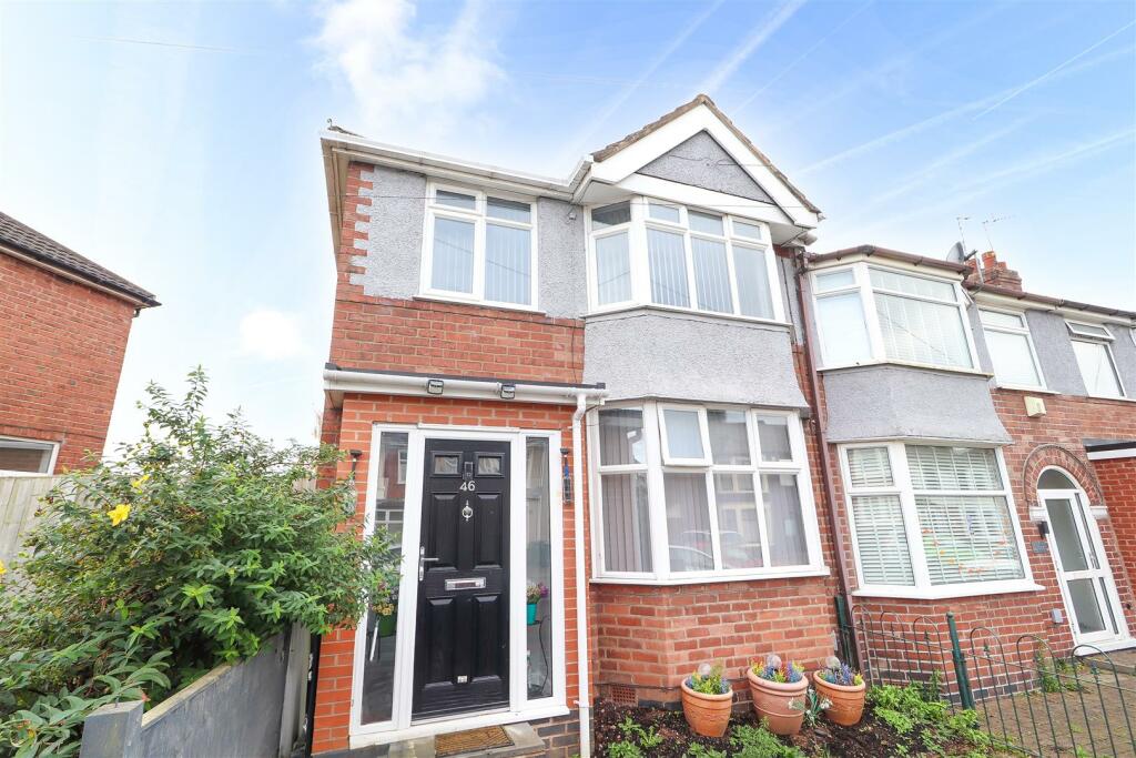
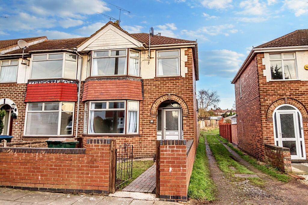
Street View
House Prices in Coventry
Last 12 months
-
Average Price Change
£13,482
Increased by 6%
-
Terraced Price Change
£12,789
Increased by 7%
Average House Prices
Last 12 months for all property types.
Since - March 2020
-
Average Price Change
£45,161
Increased by 25%
-
Terraced Price Change
£43,576
Increased by 26%
Average House Prices
Since 2020 for all property types
EPC

EPC Information
Details taken from the EPC register
- Date
- 2024-10-11
- Valid Until
- 2034-10-10
- Energy Efficiency - Current
- 65
- Energy Efficiency - Potential
- 85
- Environmental Impact - Current
- 61
- Environmental Impact - Potential
- 83
Properties For Sale in the Area
Glover Street
Glover Street
57 metres away
Glover Street
66 metres away
Quinton Road
72 metres away
Quinton Road
82 metres away
The Martyrs Close
85 metres away
Properties To Let in the Area
Glover Street
17 metres away
The Martyrs Close
74 metres away
Silksby Street
0.12 km away
The Martyrs Close
0.14 km away
Cornelius Street
0.19 km away
Wrigsham Street
0.21 km away
Schools
| Name | Type | Postcode | Distance | Rating |
|---|---|---|---|---|
| Manor Park Primary School | Nursery, Primary | CV3 5EZ | 0.63 km | Good |
| King Henry VIII School | Independent, Nursery, Primary, Post 16 | CV3 6AQ | 0.77 km | Not rated |
| Frederick Bird Primary School | Nursery, Primary | CV2 4QQ | 0.85 km | Not rated |
| All Saints Church of England Primary School | Nursery, Primary | CV1 2AF | 0.87 km | Good |
| Coventry Youth Offending Service | Primary | CV1 2GY | 1.05 km | Not rated |
Transport
Train Stations
Details provided by Department for Transport
| Name | Distance |
|---|---|
| Coventry Rail Station | 0.61 km |
| Canley Rail Station | 2.75 km |
Nearest Motorway
Details provided by Department for Transport
| Name | Distance |
|---|---|
| M6 | 7.11 km |
Airports
Details provided by Department for Transport
| Name | Distance |
|---|---|
| Coventry Airport | 3.91 km |
| Birmingham International Airport | 16.43 km |
| East Midlands Airport | 49.24 km |
| London Oxford Airport | 64.25 km |
| Gloucestershire Airport | 71.84 km |
Coverage
- Average Broadband Speed:
-
16mb Basic
-
80mb Superfast
-
1800mb Ultrafast
-
1800mb Overall
- Mobile Coverage:
-
EEOkay
-
O2Good
-
ThreeGood
-
VodafoneOkay
Recently Sold Properties in the Area
| Address | Property Type | Distance | Price | Completed |
|---|---|---|---|---|
|
38 The Martyrs Close Coventry, CV3 5FN |
Terraced | 60 metres away | £201,000 | 9 months ago |
|
63 Silksby Street Coventry, CV3 5FY |
Terraced | 87 metres away | £256,000 | 6 months ago |
|
50 Joan Ward Street Coventry, CV3 5FW |
Other | 0.14 km away | £390,000 | 3 months ago |
|
17 Silksby Street Coventry, CV3 5FY |
Terraced | 0.15 km away | £185,000 | 3 months ago |
|
24 Silksby Street Coventry, CV3 5FX |
Terraced | 0.15 km away | £250,000 | 4 months ago |
|
23 Joan Ward Street Coventry, CV3 5FW |
Terraced | 0.16 km away | £275,000 | 4 months ago |
|
46 Cornelius Street Coventry, CV3 5FH |
Terraced | 0.19 km away | £171,000 | 7 months ago |
|
38 Cornelius Street Coventry, CV3 5FH |
Terraced | 0.19 km away | £250,000 | 11 months ago |
|
12 Hockett Street Coventry, CV3 5FR |
Terraced | 0.21 km away | £233,000 | 4 months ago |
|
34 Benedictine Road Coventry, CV3 6GY |
Semi-Detached | 0.21 km away | £318,000 | 4 months ago |
Important Notice - This report is intended for general informational purposes only and should act only as a guide. The report is produced automatically on behalf of Coopers Estate Agents - Coventry by Street Insights, a product of Street Systems Ltd. Street Systems maintains and aggregates data from multiple public data sources and whilst every effort is made to keep information up to date and accurate, we make no representations or warranties of any kind about the accuracy, reliability or completeness of the information contained within this report for any purpose. Any reliance you place on the data contained within this report is strictly at your own risk. In no event will Coopers Estate Agents - Coventry or Street Systems Ltd be liable for any loss or damage including without limitation, indirect or consequential loss or damage, or any loss or damage whatsoever arising from loss of data or profits arising out of, or in connection with, the use of this report.
This report contains public sector information licensed under the Open Government License v3.0
Transaction data and HPI data is produced by HM Land Registry. Crown copyright and database rights 2025