Buyer Information Report

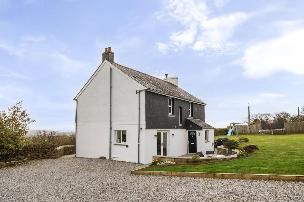
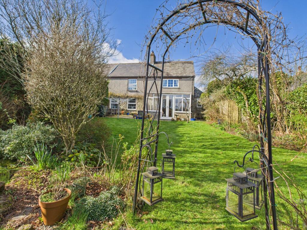
St. Ive, Liskeard, PL14

Key Facts
No lease data available
Title Plan
 We couldn’t find a title plan for this property.
Street View
House Prices in Cornwall
Last 12 months
-
Average Price Change
£3,192
Increased by 1%
-
Semi-Detached Price Change
£5,460
Increased by 2%
Average House Prices
Last 12 months for all property types.
Since - February 2020
-
Average Price Change
£61,683
Increased by 27%
-
Semi-Detached Price Change
£64,472
Increased by 29%
Average House Prices
Since 2020 for all property types
EPC

EPC Information
Details taken from the EPC register
- Date
- 2024-03-04
- Valid Until
- 2034-03-03
- Energy Efficiency - Current
- 22
- Energy Efficiency - Potential
- 55
- Environmental Impact - Current
- 53
- Environmental Impact - Potential
- 77
Properties For Sale in the Area
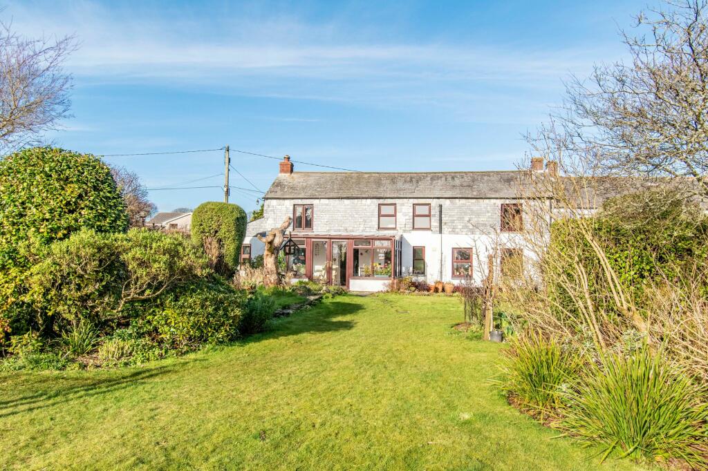
St. Ive
St Ive.
79 metres away
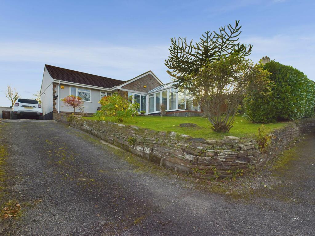
St Ive
79 metres away
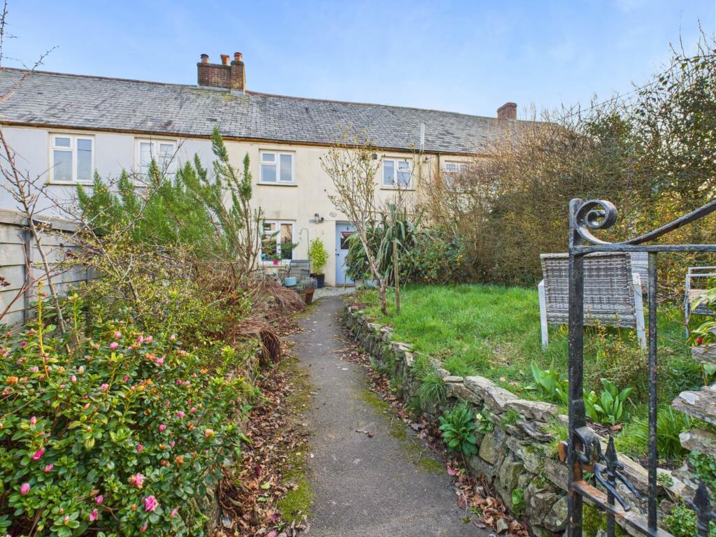
St. Ive
80 metres away
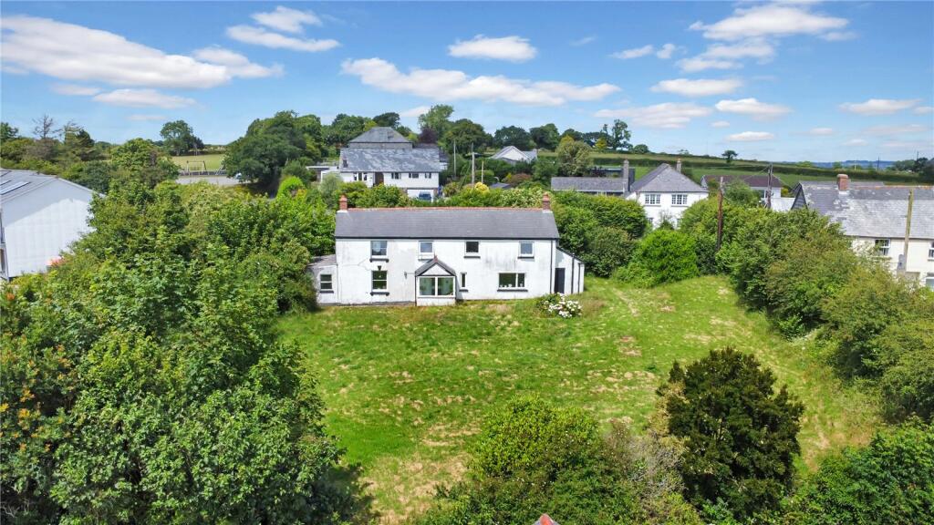
St. Ive
0.25 km away
St Ive
0.25 km away
Properties To Let in the Area
We couldn’t find properties to let in the area for this property.
Schools
| Name | Type | Postcode | Distance | Rating |
|---|---|---|---|---|
| Quethiock CofE School | Nursery, Primary | PL14 3SQ | 2.38 km | Good |
| Pensilva Primary School | Primary | PL14 5PG | 3.94 km | Not rated |
| Callington Primary School | Nursery, Primary | PL17 7EF | 4.89 km | Good |
Transport
Bus Stops & Stations
Details provided by Department for Transport
| Name | Distance |
|---|---|
| Orchard House | 0.11 km |
| Bus Shelter, A390 | 0.25 km |
| Butchers Arms, A390 | 0.59 km |
| Cleveland House | 0.60 km |
| Church, A390 | 0.71 km |
Train Stations
Details provided by Department for Transport
| Name | Distance |
|---|
Coverage
- Average Broadband Speed:
-
1mb Basic
-
1mb Overall
- Mobile Coverage:
-
EEOkay
-
O2Good
-
ThreeOkay
-
VodafoneOkay
Recently Sold Properties in the Area
| Address | Property Type | Distance | Price | Completed |
|---|---|---|---|---|
|
Hillside St. Ive, Liskeard, PL14 3LZ |
Semi-Detached | 0.13 km away | £370,000 | 8 months ago |
|
Glenview St. Ive, Liskeard, PL14 3LZ |
Semi-Detached | 0.14 km away | £125,000 | 8 months ago |
|
Dale Cottage St. Ive, Liskeard, PL14 3LY |
Terraced | 0.25 km away | £85,000 | 7 months ago |
Important Notice - This report is intended for general informational purposes only and should act only as a guide. The report is produced automatically on behalf of Parkes and Pearn - Parkes and Pearn by Street Insights, a product of Street Systems Ltd. Street Systems maintains and aggregates data from multiple public data sources and whilst every effort is made to keep information up to date and accurate, we make no representations or warranties of any kind about the accuracy, reliability or completeness of the information contained within this report for any purpose. Any reliance you place on the data contained within this report is strictly at your own risk. In no event will Parkes and Pearn - Parkes and Pearn or Street Systems Ltd be liable for any loss or damage including without limitation, indirect or consequential loss or damage, or any loss or damage whatsoever arising from loss of data or profits arising out of, or in connection with, the use of this report.
This report contains public sector information licensed under the Open Government License v3.0
Transaction data and HPI data is produced by HM Land Registry. Crown copyright and database rights 2025