Property Information Report
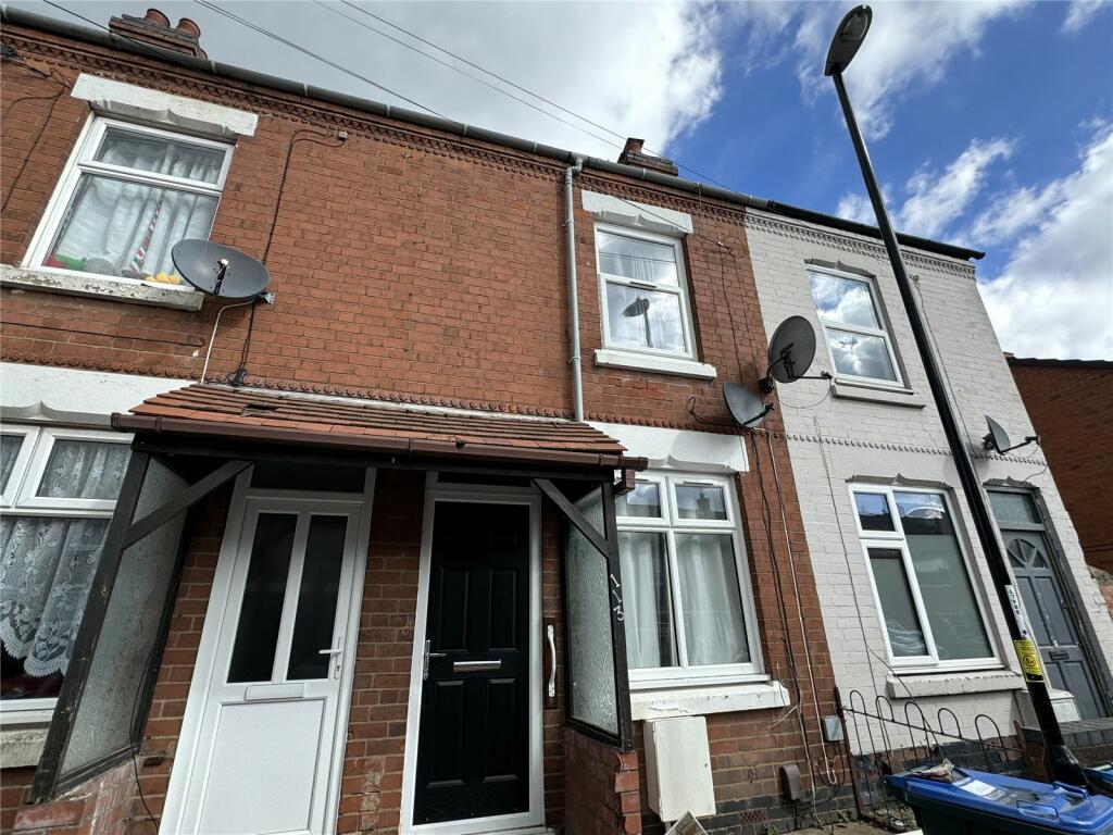
Clements Street
Coventry, CV2
Last Sold - Jul, 1999

Description
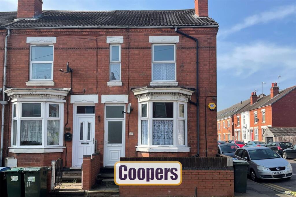
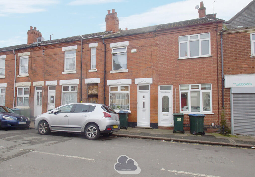
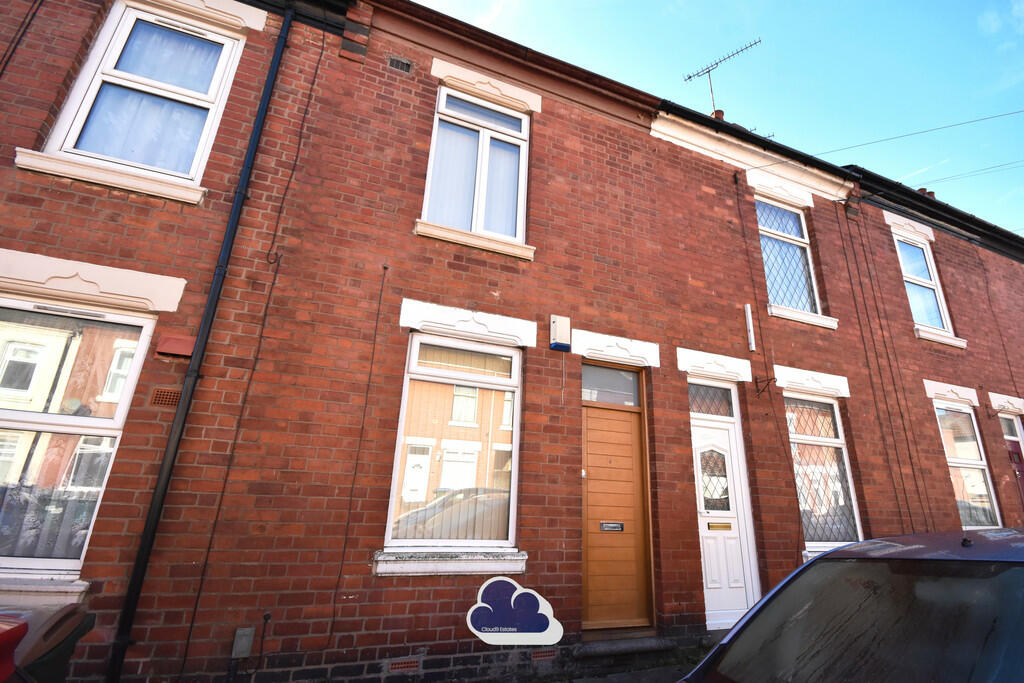
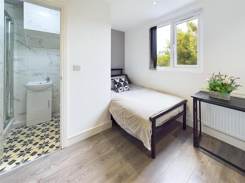
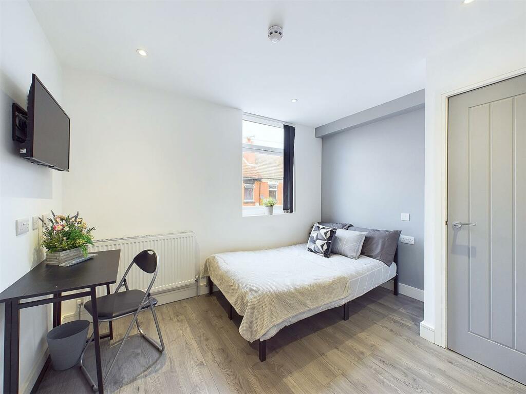
This corner end-terrace has been converted into two one-bed flats, each with a separate entrance and utilities. The ground floor flat includes a lounge, kitchen, bathroom, and garden access. The first-floor flat has a similar layout with a spacious lounge, kitchen, and bathroom. While currently configured as two flats, it could easily be restored into a single dwelling if desired. The property is being sold with vacant possession, making it a great opportunity for investors or those looking for a flexible living space.
Key Facts
Title Plan
 Contains OS data © Crown copyright 2025
Title Information
Details provided by the Land Registry
- Title Number
- WM595839
- Plot Size
- 0.03 acres (115 sq metres)
Street View
House Prices in Coventry
Last 12 months
-
Average Price Change
£13,178
Increased by 6%
-
Flats/Maisonettes Price Change
£5,572
Increased by 4%
Average House Prices
Last 12 months for all property types.
Since - February 2020
-
Average Price Change
£45,827
Increased by 25%
-
Flats/Maisonettes Price Change
£22,038
Increased by 20%
Average House Prices
Since 2020 for all property types
EPC

EPC Information
Details taken from the EPC register
- Date
- 2022-03-29
- Valid Until
- 2032-03-28
- Energy Efficiency - Current
- 52
- Energy Efficiency - Potential
- 73
- Environmental Impact - Current
- 50
- Environmental Impact - Potential
- 75
Properties For Sale in the Area
Clements Street
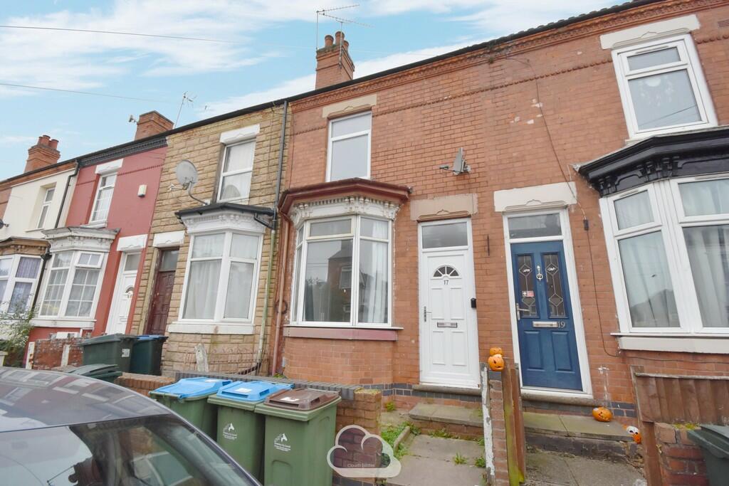
Clements Street
11 metres away
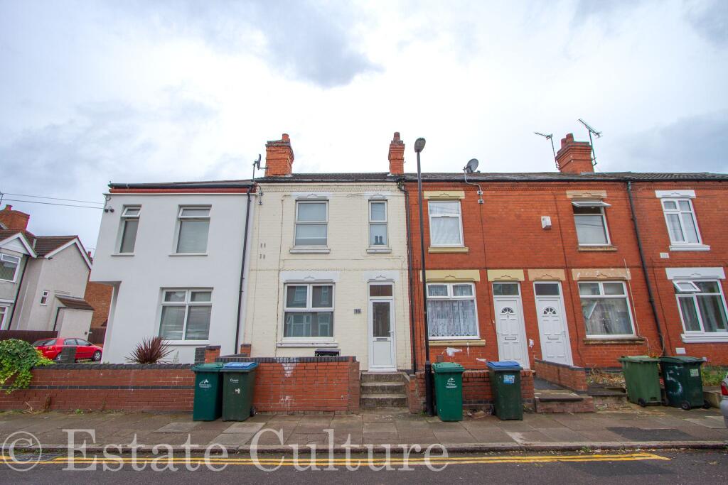
Clements Street
28 metres away
Villiers Street
58 metres away
Villiers Street
70 metres away
Chandos Street
81 metres away
Properties To Let in the Area

Clements Street
50 metres away
Clements Street
50 metres away
Richmond Street
85 metres away
Richmond Street
89 metres away
Richmond Street
89 metres away
Chandos Street
98 metres away
Schools
| Name | Type | Postcode | Distance | Rating |
|---|---|---|---|---|
| Stoke Primary School | Nursery, Primary | CV2 4LF | 0.34 km | Not rated |
| Sacred Heart Catholic Primary School | Nursery, Primary | CV2 4DW | 0.40 km | Not rated |
| Summit School | Special, Independent | CV2 4BF | 0.51 km | Good |
| Frederick Bird Academy | Nursery, Primary | CV2 4QQ | 0.60 km | Not rated |
| Southfields Primary School | Nursery, Primary | CV1 5LS | 0.68 km | Good |
Transport
Train Stations
Details provided by Department for Transport
| Name | Distance |
|---|---|
| Coventry Rail Station | 2.25 km |
| Coventry Arena Rail Station | 4.08 km |
| Canley Rail Station | 4.44 km |
Nearest Motorway
Details provided by Department for Transport
| Name | Distance |
|---|---|
| M6 | 4.94 km |
Airports
Details provided by Department for Transport
| Name | Distance |
|---|---|
| Coventry Airport | 4.90 km |
| Birmingham International Airport | 17.31 km |
| East Midlands Airport | 47.33 km |
| London Oxford Airport | 65.54 km |
| Gloucestershire Airport | 74.03 km |
Coverage
- Average Broadband Speed:
-
5mb Basic
-
80mb Superfast
-
1800mb Ultrafast
-
1800mb Overall
- Mobile Coverage:
-
EEOkay
-
O2Good
-
ThreeGood
-
VodafoneOkay
Recently Sold Properties in the Area
| Address | Property Type | Distance | Price | Completed |
|---|---|---|---|---|
|
72 Chandos Street Coventry, CV2 4HS |
Terraced | 25 metres away | £99,000 | 4 months ago |
|
82 Chandos Street Coventry, CV2 4HT |
Terraced | 54 metres away | £137,000 | 11 months ago |
|
63 Villiers Street Coventry, CV2 4HQ |
Terraced | 65 metres away | £146,000 | 8 months ago |
|
57 Chandos Street Coventry, CV2 4HR |
Terraced | 80 metres away | £125,000 | 6 months ago |
|
42 Chandos Street Coventry, CV2 4HS |
Terraced | 81 metres away | £135,000 | 9 months ago |
|
30 Chandos Street Coventry, CV2 4HS |
Terraced | 0.10 km away | £149,000 | 8 months ago |
|
56 Richmond Street Coventry, CV2 4JB |
Terraced | 0.12 km away | £149,000 | 3 months ago |
|
10 Chandos Street Coventry, CV2 4HS |
Terraced | 0.14 km away | £135,000 | 6 months ago |
|
16 Hastings Road Coventry, CV2 4JD |
Terraced | 0.15 km away | £199,000 | 3 months ago |
|
141 Villiers Street Coventry, CV2 4HN |
Terraced | 0.15 km away | £135,000 | 11 months ago |
Important Notice - This report is intended for general informational purposes only and should act only as a guide. The report is produced automatically on behalf of Coopers Estate Agents - Coventry by Street Insights, a product of Street Systems Ltd. Street Systems maintains and aggregates data from multiple public data sources and whilst every effort is made to keep information up to date and accurate, we make no representations or warranties of any kind about the accuracy, reliability or completeness of the information contained within this report for any purpose. Any reliance you place on the data contained within this report is strictly at your own risk. In no event will Coopers Estate Agents - Coventry or Street Systems Ltd be liable for any loss or damage including without limitation, indirect or consequential loss or damage, or any loss or damage whatsoever arising from loss of data or profits arising out of, or in connection with, the use of this report.
This report contains public sector information licensed under the Open Government License v3.0
Transaction data and HPI data is produced by HM Land Registry. Crown copyright and database rights 2025