Property Information Report
Linnet Close
Coventry, CV3

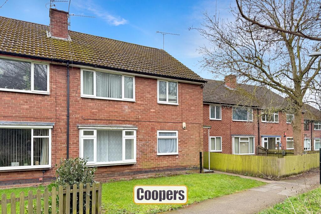
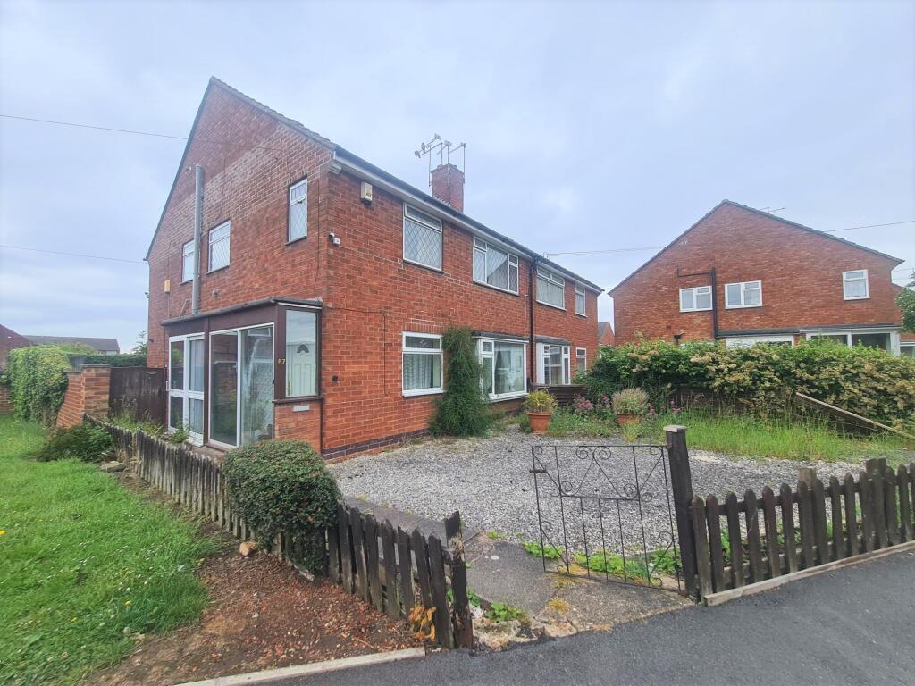
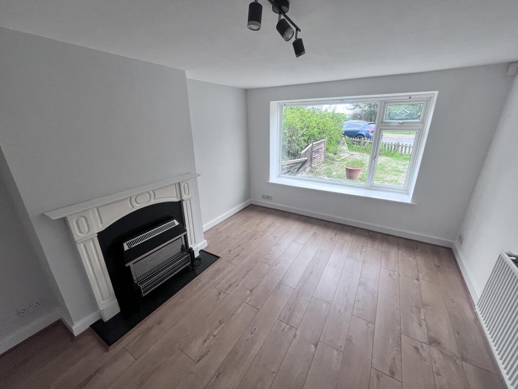
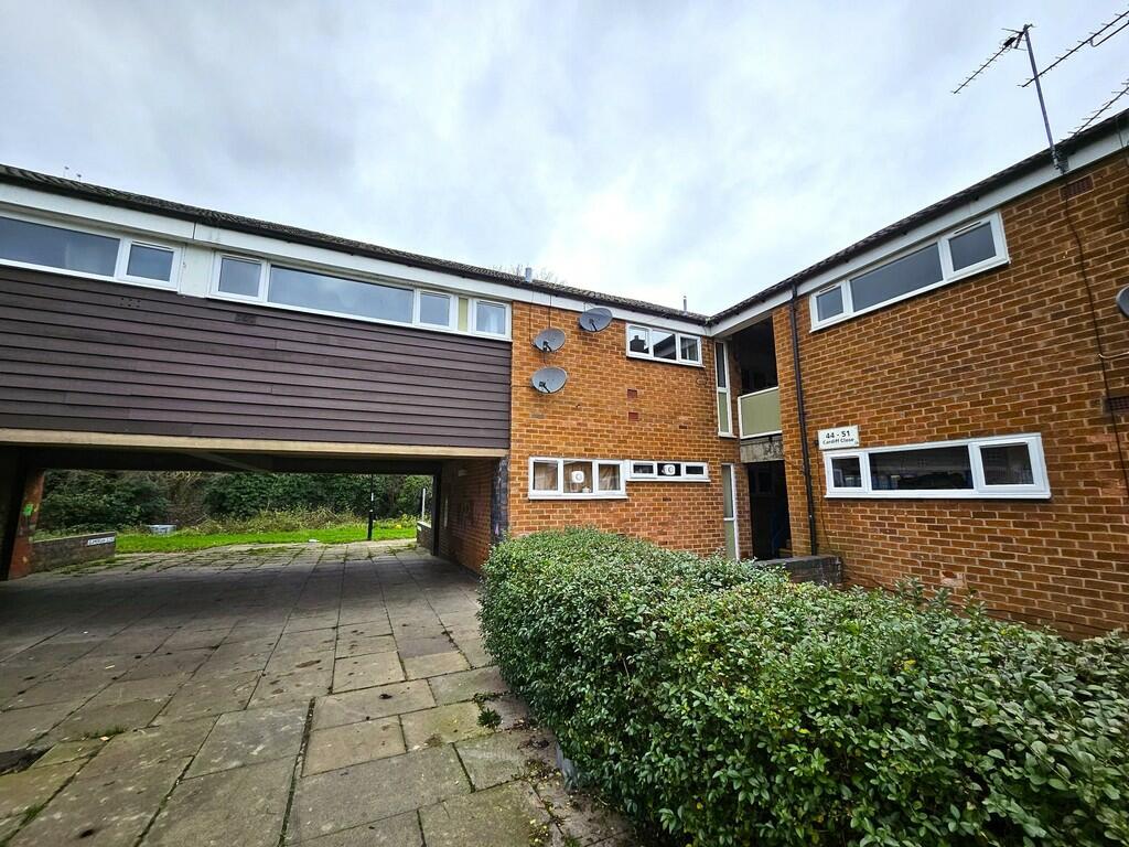
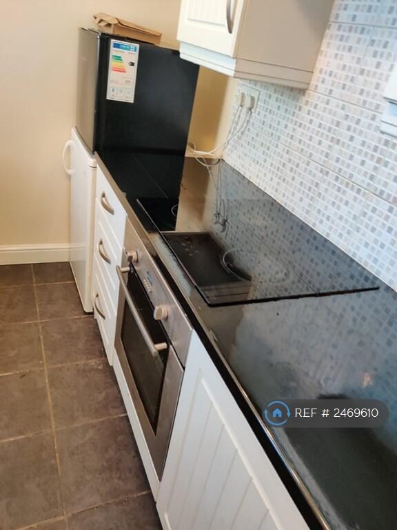
Description
This ground floor maisonette comprises a spacious lounge, kitchen, bathroom, and two generously sized bedrooms. The property benefits from electric storage heaters and double glazing throughout. Additionally, there is a private garden and a separate garage. Situated in a popular location, it offers easy access to excellent road networks. With no upward chain, viewing is essential to fully appreciate all that this maisonette has to offer.
The maisonette is leasehold with 126 years unexpired. The current ground rent is £10pa increasing to £250pa in 2061.
Key Facts
Title Plan
 Contains OS data © Crown copyright 2025
Title Information
Details provided by the Land Registry
- Title Number
- WM985519
- Plot Size
- 0.06 acres (223 sq metres)
Street View
House Prices in Coventry
Last 12 months
-
Average Price Change
£13,178
Increased by 6%
-
Flats/Maisonettes Price Change
£5,572
Increased by 4%
Average House Prices
Last 12 months for all property types.
Since - February 2020
-
Average Price Change
£45,827
Increased by 25%
-
Flats/Maisonettes Price Change
£22,038
Increased by 20%
Average House Prices
Since 2020 for all property types
EPC

EPC Information
Details taken from the EPC register
- Date
- 2018-05-01
- Valid Until
- 2028-04-30
- Energy Efficiency - Current
- 55
- Energy Efficiency - Potential
- 76
- Environmental Impact - Current
- 43
- Environmental Impact - Potential
- 58
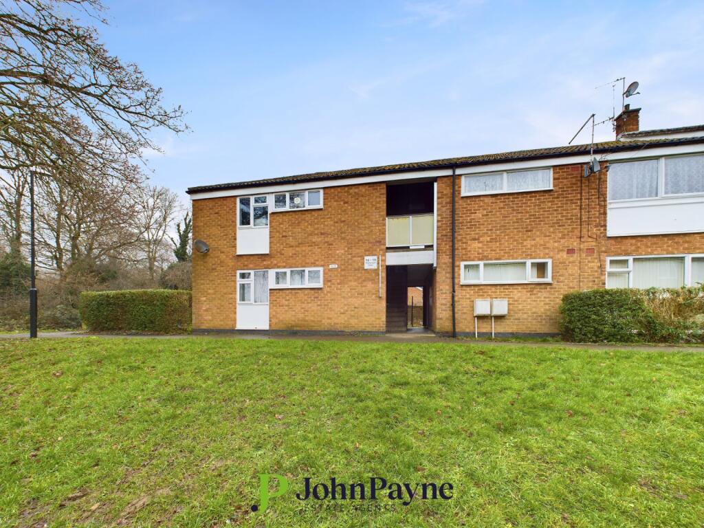
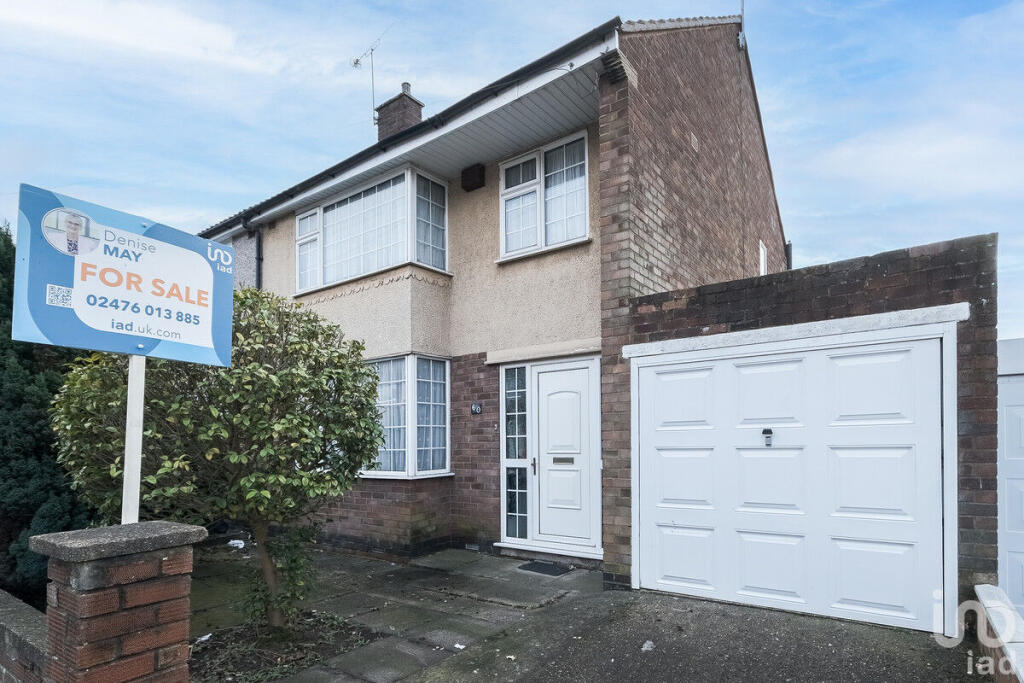
Properties For Sale in the Area
Linnet Close
7 metres away
Glamorgan Close
39 metres away
Linnet Close
41 metres away
Cardiff Close
0.12 km away
Yarningale Road CV3
0.12 km away
Yarningale Road
0.13 km away
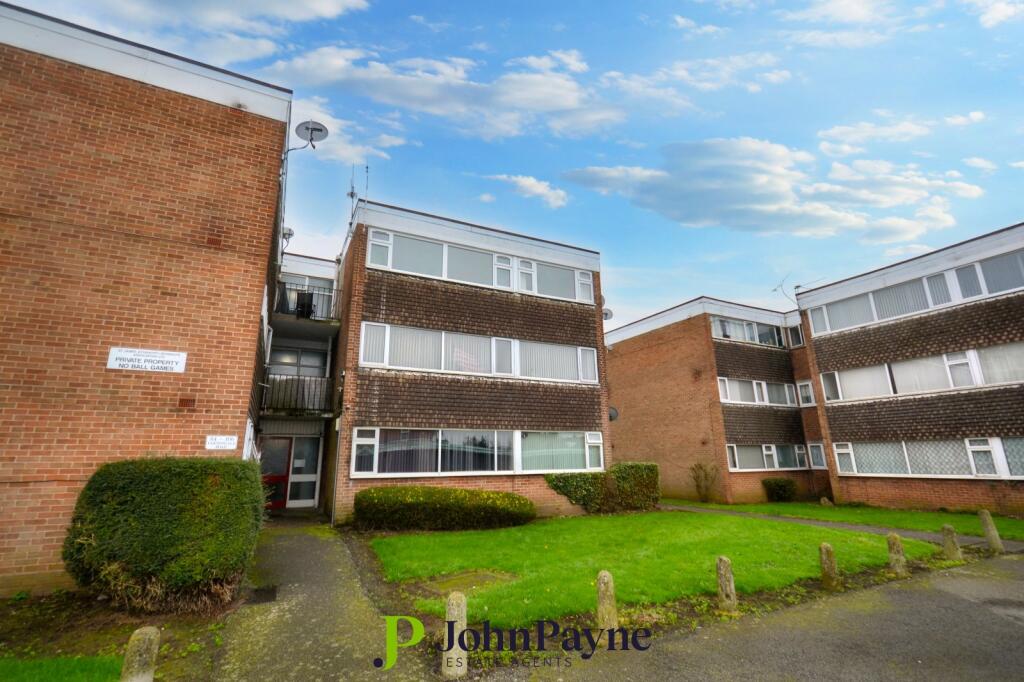
Properties To Let in the Area
Linnet Close
10 metres away
Glamorgan Close Willenhall Coventry
43 metres away
Yarningale Road
85 metres away
Yarningale Road
85 metres away
Cardiff Close
94 metres away
Yarningale Road
0.12 km away
Schools
| Name | Type | Postcode | Distance | Rating |
|---|---|---|---|---|
| Willenhall Community Primary School | Nursery, Primary | CV3 3DB | 0.49 km | Not rated |
| Stretton Church of England Academy | Primary | CV3 3AE | 0.54 km | Outstanding |
| St Anne's Catholic Primary School | Nursery, Primary | CV3 3AD | 0.62 km | Good |
| Baginton Fields Academy | Special | CV3 4EA | 0.70 km | Not rated |
| Baginton Fields School | Special | CV3 4EA | 0.84 km | Good |
Transport
Bus Stops & Stations
Details provided by Department for Transport
| Name | Distance |
|---|---|
| Middlemarch Business Park, Middle Siskin Drive | 1.07 km |
| Hillman Way | 1.46 km |
Train Stations
Details provided by Department for Transport
| Name | Distance |
|---|---|
| Coventry Rail Station | 3.89 km |
Nearest Motorway
Details provided by Department for Transport
| Name | Distance |
|---|---|
| M6 | 6.64 km |
Airports
Details provided by Department for Transport
| Name | Distance |
|---|---|
| Coventry Airport | 1.78 km |
| Birmingham International Airport | 19.72 km |
| East Midlands Airport | 50.19 km |
| London Oxford Airport | 62.13 km |
| Gloucestershire Airport | 72.53 km |
Coverage
- Average Broadband Speed:
-
16mb Basic
-
80mb Superfast
-
10000mb Ultrafast
-
10000mb Overall
- Mobile Coverage:
-
EEOkay
-
O2Good
-
ThreeGood
-
VodafoneOkay
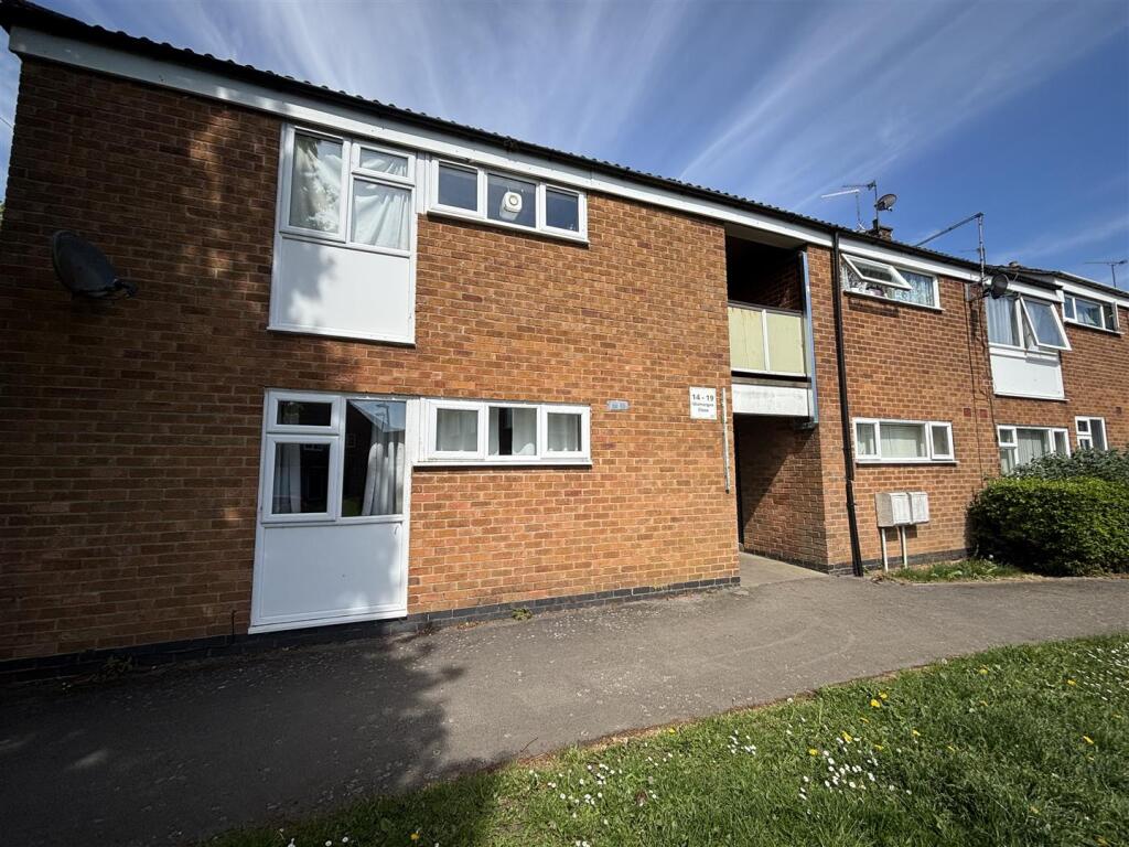
Recently Sold Properties in the Area
| Address | Property Type | Distance | Price | Completed |
|---|---|---|---|---|
|
69 Yarningale Road Coventry, CV3 3EN |
Terraced | 42 metres away | £175,000 | 6 months ago |
|
72 Yarningale Road Coventry, CV3 3EQ |
Semi-Detached | 81 metres away | £270,000 | 6 months ago |
|
119 Yarningale Road Coventry, CV3 3EP |
Flats/Maisonettes | 85 metres away | £120,000 | 8 months ago |
|
6 Glamorgan Close Coventry, CV3 3ER |
Flats/Maisonettes | 0.10 km away | £78,000 | 6 months ago |
|
3 Colina Close Coventry, CV3 3EG |
Semi-Detached | 0.12 km away | £195,000 | 10 months ago |
|
Flat 2, Yarningale Court, Yarningale Road Coventry, CV3 3EQ |
Flats/Maisonettes | 0.12 km away | £143,000 | 5 months ago |
|
14 Colina Close Coventry, CV3 3EH |
Semi-Detached | 0.16 km away | £190,000 | 6 months ago |
|
37 Wroxall Drive Coventry, CV3 3GB |
Semi-Detached | 0.17 km away | £165,000 | 7 months ago |
|
8 Cardiff Close Coventry, CV3 3GD |
Terraced | 0.19 km away | £175,500 | 3 months ago |
|
152 St. James Lane Coventry, CV3 3FU |
Detached | 0.20 km away | £240,000 | 8 months ago |
Important Notice - This report is intended for general informational purposes only and should act only as a guide. The report is produced automatically on behalf of Coopers Estate Agents - Coventry by Street Insights, a product of Street Systems Ltd. Street Systems maintains and aggregates data from multiple public data sources and whilst every effort is made to keep information up to date and accurate, we make no representations or warranties of any kind about the accuracy, reliability or completeness of the information contained within this report for any purpose. Any reliance you place on the data contained within this report is strictly at your own risk. In no event will Coopers Estate Agents - Coventry or Street Systems Ltd be liable for any loss or damage including without limitation, indirect or consequential loss or damage, or any loss or damage whatsoever arising from loss of data or profits arising out of, or in connection with, the use of this report.
This report contains public sector information licensed under the Open Government License v3.0
Transaction data and HPI data is produced by HM Land Registry. Crown copyright and database rights 2025