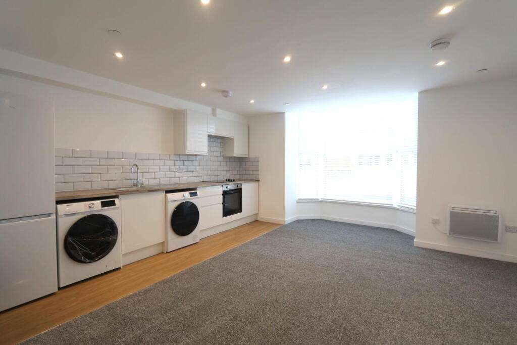
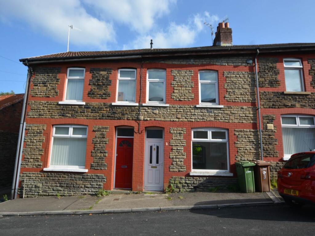
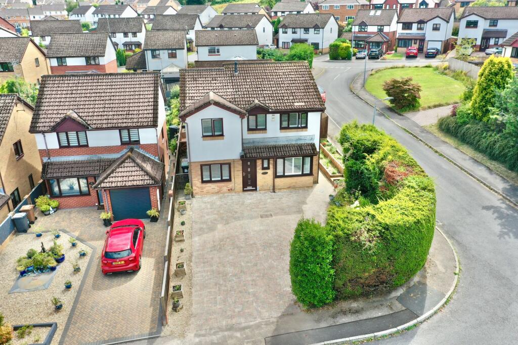
Property Information Report
9 Aspen Avenue
Blackwood, NP12 1WW
Estimated Rental Value - £1,325 PCM
Last Sold - Aug, 2022

Key Facts
Properties To Let in the Area
High Street
0.57 km away
Brynhyfryd Street
0.65 km away
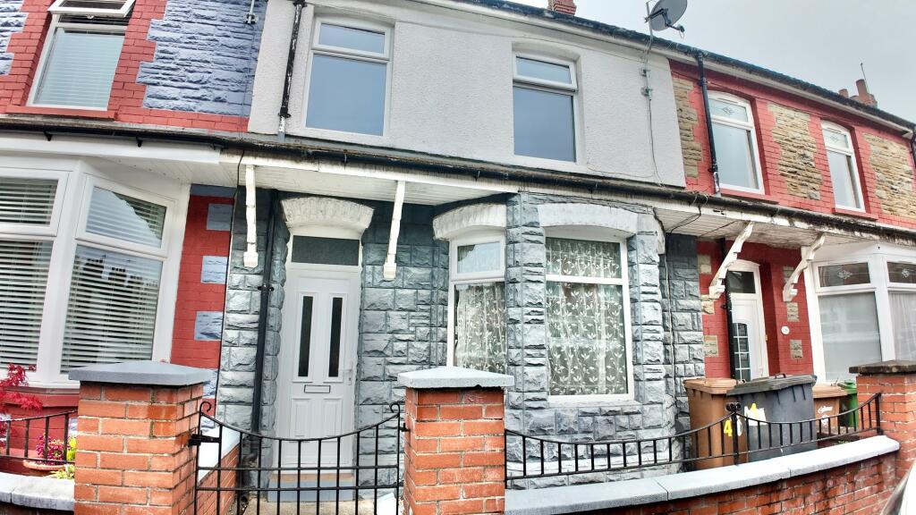
William Street
0.65 km away
Woodbine Road
0.66 km away
18G Hall Street
0.73 km away
Pen Y Mead
0.79 km away
About Us
An Agent for LIfe
Our transformative approach is built on everything we believe estate agency should be. We offer you an Agent for Life: Your trusted advisor whenever you need help with property-related matters because we are known for our genuine care for helping people with their next move.
Find out more at Number One Real Estate
Title Plan
Title Information
Details provided by the Land Registry
- Title Number
- WA260645
- Plot Size
- 0.11 acres (456 sq metres)
Street View
Videos & Virtual Tours
House Prices in Caerphilly
Last 12 months
-
Average Price Change
£180,461
Decreased by 100%
-
Detached Price Change
£287,092
Decreased by 100%
Average House Prices
Last 12 months for all property types.
Since Last Sale - 19th August 2022
-
Average Price Change
£179,930
Decreased by 100%
-
Detached Price Change
£287,127
Decreased by 100%
Average House Prices
Since last sale in 2022 for all property types
EPC

EPC Information
Details taken from the EPC register
- Date
- 2022-06-06
- Valid Until
- 2032-06-05
- Energy Efficiency - Current
- 67
- Energy Efficiency - Potential
- 79
- Environmental Impact - Current
- 63
- Environmental Impact - Potential
- 76
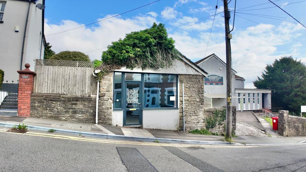
Properties For Sale in the Area
Montclaire Avenue
0.17 km away
The Boundary
0.19 km away
St. Johns Drive
0.20 km away
Rhosnewydd Terrace
0.22 km away
Gordon Road
0.22 km away
Rhosnewydd Terrace
0.23 km away
Recently Sold Properties in the Area
| Address | Property Type | Distance | Price | Completed |
|---|---|---|---|---|
|
95 Gordon Road Blackwood, NP12 1DS |
Terraced | 0.18 km away | £255,000 | 7 months ago |
|
16 St. Davids Close Pontllanfraith, Blackwood, NP12 2FE |
Semi-Detached | 0.22 km away | £235,000 | 7 months ago |
|
33 Gordon Road Blackwood, NP12 1DW |
Terraced | 0.26 km away | £133,000 | 11 months ago |
|
84 Albany Road Blackwood, NP12 1DY |
Semi-Detached | 0.26 km away | £150,000 | 8 months ago |
|
8 St. Peters Drive Pontllanfraith, Blackwood, NP12 2ER |
Semi-Detached | 0.27 km away | £113,334 | 8 months ago |
|
Tristan, Garfield Street Blackwood, NP12 1DR |
Semi-Detached | 0.28 km away | £232,500 | 9 months ago |
|
8 St. Maelog Close Pontllanfraith, Blackwood, NP12 2FD |
Terraced | 0.29 km away | £200,000 | 9 months ago |
|
16 St. Andrews Drive Pontllanfraith, Blackwood, NP12 2ET |
Semi-Detached | 0.30 km away | £197,000 | 9 months ago |
|
7 Gordon Close Blackwood, NP12 1EP |
Detached | 0.30 km away | £363,000 | 7 months ago |
|
44 Cae Collen Blackwood, NP12 1FF |
Terraced | 0.37 km away | £156,000 | 9 months ago |
Schools
| Name | Type | Postcode | Distance | Rating |
|---|---|---|---|---|
| Libanus Primary | Nursery, Primary | NP12 1EH | 0.36 km | Not rated |
| Penllwyn Primary | Nursery, Primary | NP12 2NT | 0.63 km | Not rated |
| Blackwood Primary | Nursery, Primary | NP12 1WA | 0.72 km | Not rated |
| Pontllanfraith Primary School | Nursery, Primary | NP12 2DN | 1.09 km | Not rated |
| Ysgol Gyfun Cwm Rhymni | Secondary, Post 16 | NP12 3JQ | 1.19 km | Not rated |
Transport
Bus Stops & Stations
Details provided by Department for Transport
| Name | Distance |
|---|---|
| Montclaire Bungalows, Montclare Avenue | 0.13 km |
| St Andrew'S Drive | 0.14 km |
| Y Cedrwydden, Highfields Way | 0.26 km |
| Albany Road | 0.26 km |
| Blackwood Gate Retail Park, High Street | 0.42 km |
Train Stations
Details provided by Department for Transport
| Name | Distance |
|---|---|
| Pengam Rail Station | 2.38 km |
| Hengoed Rail Station | 2.43 km |
| Gilfach Fargoed Rail Station | 3.22 km |
| Ystrad Mynach Rail Station | 3.74 km |
| Newbridge Rail Station | 3.87 km |
Nearest Motorway
Details provided by Department for Transport
| Name | Distance |
|---|---|
| M4 | 14.12 km |
Coverage
- Average Broadband Speed:
-
17mb Basic
-
80mb Superfast
-
1800mb Ultrafast
-
1800mb Overall
- Mobile Coverage:
-
EEOkay
-
O2Good
-
ThreePoor
-
VodafoneOkay
Important Notice - This report is intended for general informational purposes only and should act only as a guide. The report is produced automatically on behalf of Number One Real Estate - Kaite by Street Insights, a product of Street Systems Ltd. Street Systems maintains and aggregates data from multiple public data sources and whilst every effort is made to keep information up to date and accurate, we make no representations or warranties of any kind about the accuracy, reliability or completeness of the information contained within this report for any purpose. Any reliance you place on the data contained within this report is strictly at your own risk. In no event will Number One Real Estate - Kaite or Street Systems Ltd be liable for any loss or damage including without limitation, indirect or consequential loss or damage, or any loss or damage whatsoever arising from loss of data or profits arising out of, or in connection with, the use of this report.
This report contains public sector information licensed under the Open Government License v3.0
Transaction data and HPI data is produced by HM Land Registry. Crown copyright and database rights 2025