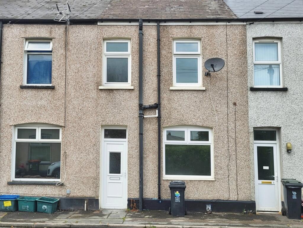
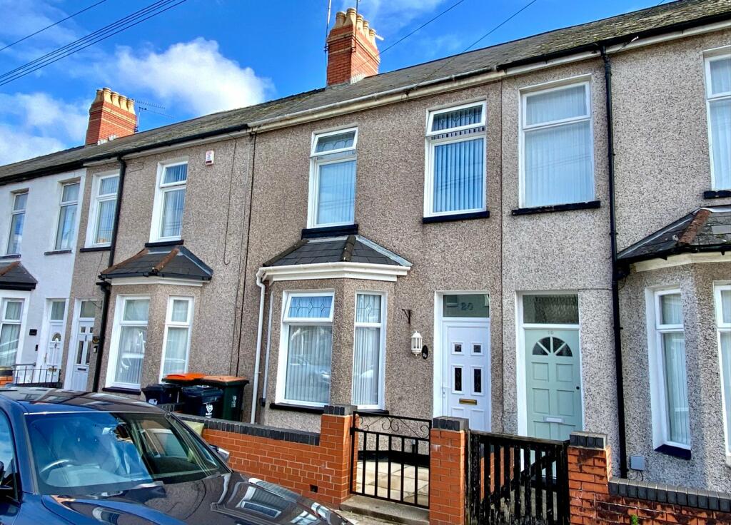
Property Information Report
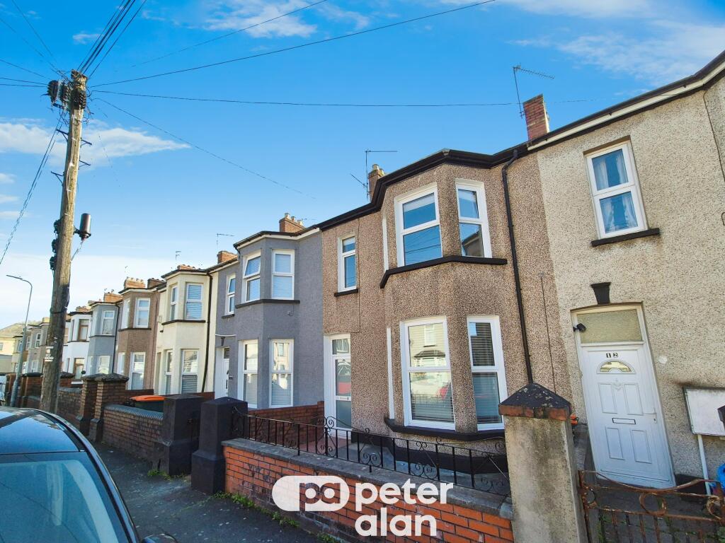
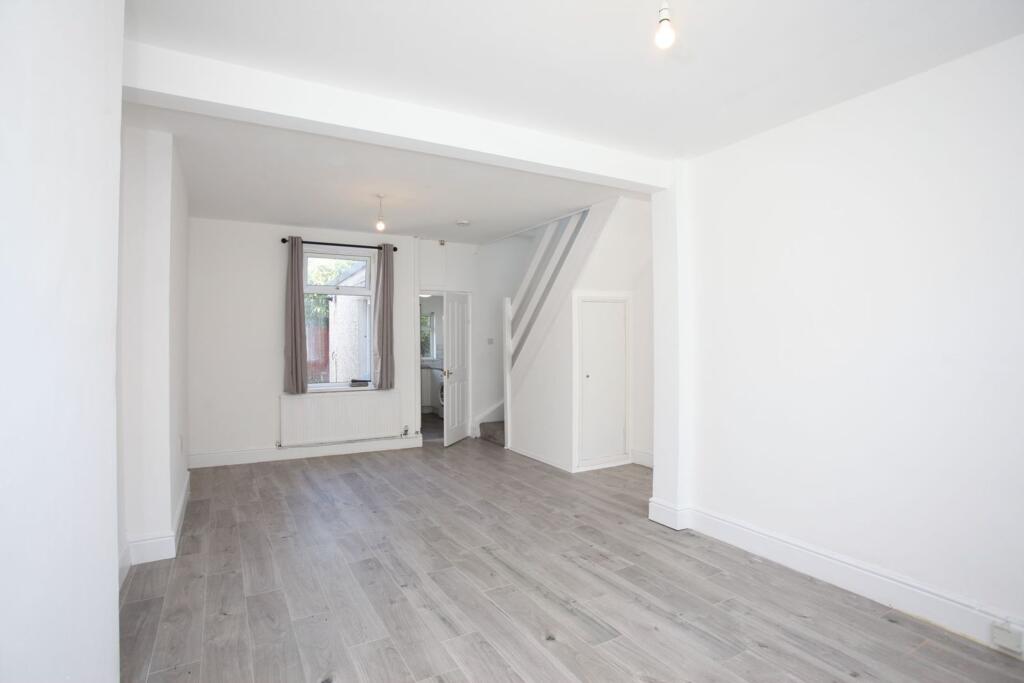
10 Ruby Gate, Loftus Avenue
Newport, NP19 0PB
Estimated Rental Value - £900 PCM
Last Sold - Nov, 2022

Key Facts
Properties To Let in the Area
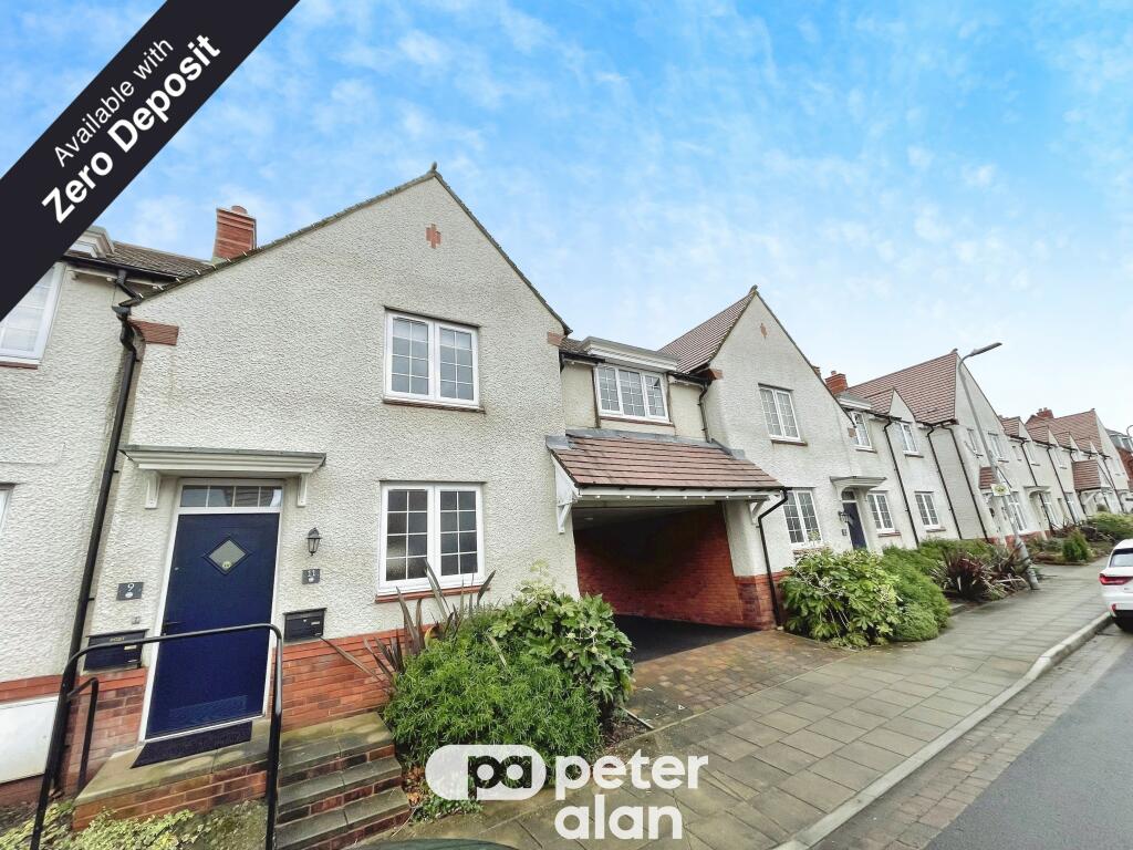
Wednesbury Street
0.13 km away
Lilleshall Street
0.28 km away
Corporation Road
0.31 km away
Phillips Court
0.34 km away
Oxford Street
0.34 km away
Gordon Street
0.35 km away
About Us
An Agent for LIfe
Our transformative approach is built on everything we believe estate agency should be. We offer you an Agent for Life: Your trusted advisor whenever you need help with property-related matters because we are known for our genuine care for helping people with their next move.
Find out more at Number One Real Estate
Title Plan
Title Information
Details provided by the Land Registry
- Title Number
- CYM677806
- Plot Size
- 0.10 acres (393 sq metres)
Street View
Videos & Virtual Tours
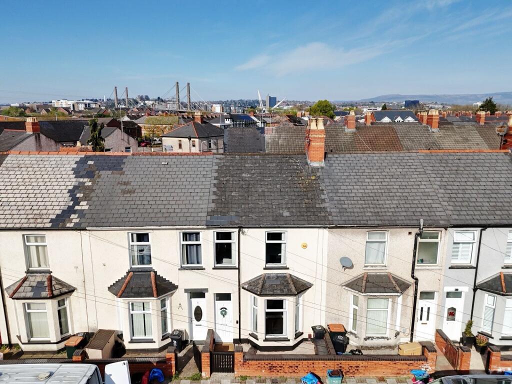
House Prices in Newport
Last 12 months
-
Average Price Change
£14,063
Increased by 7%
-
Flats/Maisonettes Price Change
£5,551
Increased by 5%
Average House Prices
Last 12 months for all property types.
Since Last Sale - 25th November 2022
-
Average Price Change
£4,773
Increased by 2%
-
Flats/Maisonettes Price Change
£297
Increased by 0%
Average House Prices
Since last sale in 2022 for all property types
EPC

EPC Information
Details taken from the EPC register
- Date
- 2016-06-07
- Valid Until
- 2026-06-06
- Energy Efficiency - Current
- 82
- Energy Efficiency - Potential
- 82
- Environmental Impact - Current
- 86
- Environmental Impact - Potential
- 86
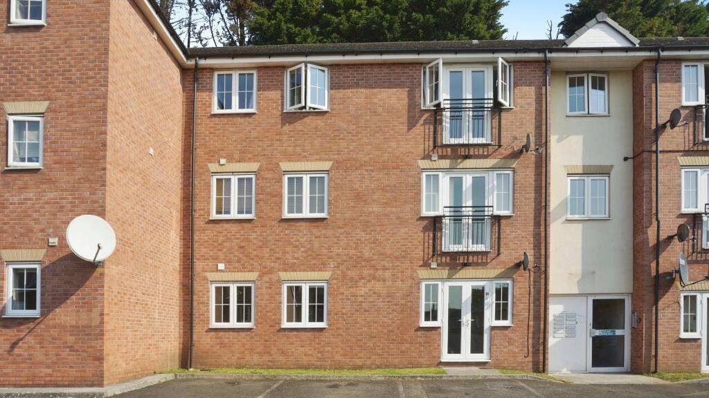
Properties For Sale in the Area
Loftus Avenue
8 metres away
Walsall Street
73 metres away
Walsall Street
0.13 km away
Walsall Street
0.16 km away
Loftus Walk
0.16 km away
Loftus Lane
0.17 km away
Recently Sold Properties in the Area
| Address | Property Type | Distance | Price | Completed |
|---|---|---|---|---|
|
8 Loftus Avenue Newport, NP19 0PA |
Terraced | 46 metres away | £205,000 | 8 months ago |
|
33 Wednesbury Street Newport, NP19 0FG |
Semi-Detached | 74 metres away | £270,000 | 10 months ago |
|
38 Walsall Street Newport, NP19 0FF |
Semi-Detached | 91 metres away | £130,000 | 5 months ago |
|
24 Walsall Street Newport, NP19 0FF |
Terraced | 0.12 km away | £172,000 | 5 months ago |
|
48 Dudley Street Newport, NP19 0FE |
Terraced | 0.12 km away | £165,000 | 1 month ago |
|
273 Corporation Road Newport, NP19 0FD |
Semi-Detached | 0.20 km away | £173,000 | 7 months ago |
|
29 Loftus Square Newport, NP19 0PL |
Terraced | 0.21 km away | £195,000 | 7 months ago |
|
5 Handsworth Street Newport, NP19 0FL |
Terraced | 0.21 km away | £185,000 | 2 months ago |
|
26 Conway Road Newport, NP19 8PA |
Terraced | 0.23 km away | £142,250 | 11 months ago |
|
24 Vivian Road Newport, NP19 0EQ |
Terraced | 0.23 km away | £183,000 | 11 months ago |
Schools
| Name | Type | Postcode | Distance | Rating |
|---|---|---|---|---|
| Eveswell Primary School | Nursery, Primary | NP19 8GX | 0.41 km | Not rated |
| St Andrew's Primary School | Nursery, Primary | NP19 0GR | 0.51 km | Not rated |
| St Patricks R.C. Primary | Nursery, Primary | NP19 0HR | 0.56 km | Not rated |
| Catch22 Include Wales | Independent | NP19 0HS | 0.69 km | Not rated |
| St Josephs R.C. Jnr. & Infts | Primary | NP19 8FW | 0.91 km | Not rated |
Transport
Bus Stops & Stations
Details provided by Department for Transport
| Name | Distance |
|---|---|
| Lilleshall Street | 0.22 km |
| Bilston Street | 0.24 km |
| Halstead Street | 0.36 km |
| Corporation Hotel, Corporation Road | 0.38 km |
| Corporation Hotel, Cromwell Road | 0.38 km |
Train Stations
Details provided by Department for Transport
| Name | Distance |
|---|---|
| Newport (S Wales) Rail Station | 1.70 km |
| Pye Corner Rail Station | 4.62 km |
Nearest Motorway
Details provided by Department for Transport
| Name | Distance |
|---|---|
| M4 | 1.99 km |
Coverage
- Average Broadband Speed:
-
7mb Basic
-
1000mb Ultrafast
-
1000mb Overall
- Mobile Coverage:
-
EEOkay
-
O2Good
-
ThreeOkay
-
VodafoneOkay
Important Notice - This report is intended for general informational purposes only and should act only as a guide. The report is produced automatically on behalf of Number One Real Estate - Kaite by Street Insights, a product of Street Systems Ltd. Street Systems maintains and aggregates data from multiple public data sources and whilst every effort is made to keep information up to date and accurate, we make no representations or warranties of any kind about the accuracy, reliability or completeness of the information contained within this report for any purpose. Any reliance you place on the data contained within this report is strictly at your own risk. In no event will Number One Real Estate - Kaite or Street Systems Ltd be liable for any loss or damage including without limitation, indirect or consequential loss or damage, or any loss or damage whatsoever arising from loss of data or profits arising out of, or in connection with, the use of this report.
This report contains public sector information licensed under the Open Government License v3.0
Transaction data and HPI data is produced by HM Land Registry. Crown copyright and database rights 2025