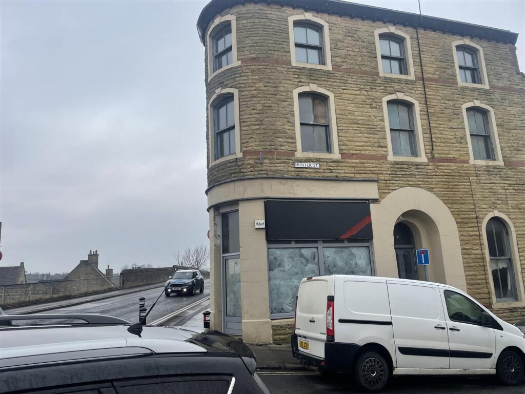
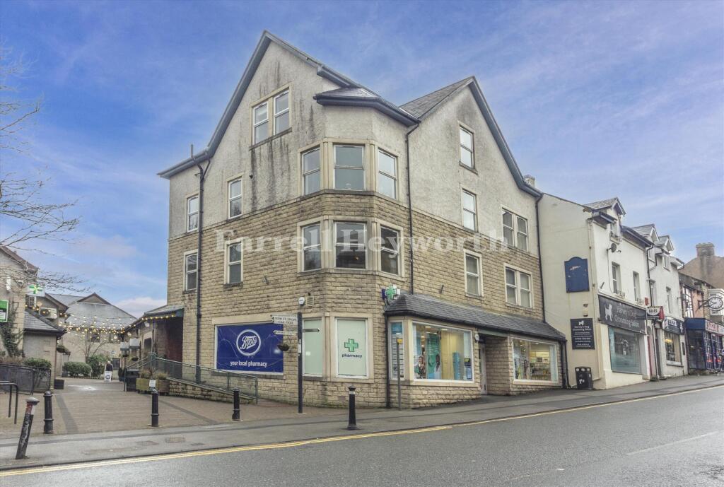
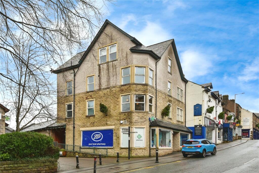
Property Information Report

Carnforth Free Methodist Church, Hunter Street
Carnforth, LA5 9BP

Description
Could you create a community hub? This detached building with gated garden space could be a great community asset capable of hosting a variety with community focussed events.
Key Facts
About Us
Our Story
Lancastrian Estates is an established, family run estate and letting agent who help people move across Lancashire. Set up in 2005 by David Robinson, Lancastrian Estates traded as Cumbrian Properties until the name changed in 2014. However, the Robinsons family roots go back much further than that and the business is built on over 100 years of Lancashire property experience. Today’s generation of the family are often invited out to market houses, flats and bungalows in Lancaster, Morecambe, Preston and South Ribble that were built by previous generations of the Robinson family. In fact, a third of Morecambe’s homes are likely to have been built by a Robinson!
Proud to carry on the Robinsons property legacy under Lancastrian Estates, we have exciting plans for growth going forward to help even more people move across Lancashire.
Title Plan
Title Information
Details provided by the Land Registry
- Title Number
- LA894535
- Plot Size
- 0.09 acres (375 sq metres)
Street View

House Prices in Lancaster
Last 12 months
-
Average Price Change
£2,023
Decreased by 1%
-
Detached Price Change
£4,620
Decreased by 1%
Average House Prices
Last 12 months for all property types.
Since - April 2020
-
Average Price Change
£43,972
Increased by 30%
-
Detached Price Change
£71,054
Increased by 28%
Average House Prices
Since 2020 for all property types
EPC
 No EPC data available for this property.
Properties For Sale in the Area
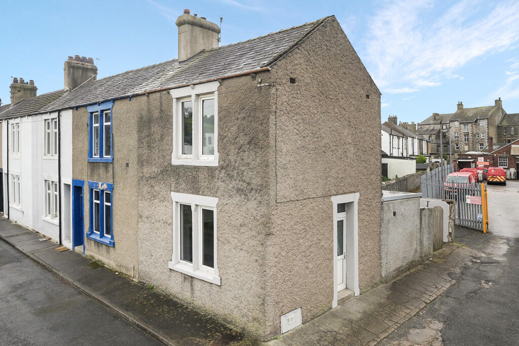
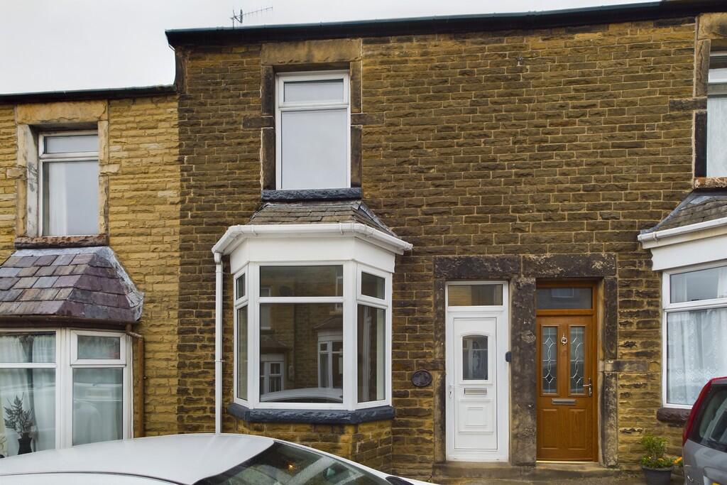
15 Pond Terrace
30 metres away
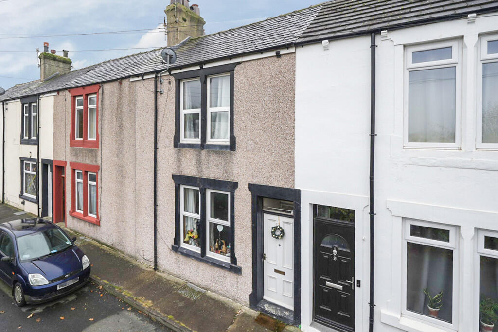
7 Pond Terrace
32 metres away
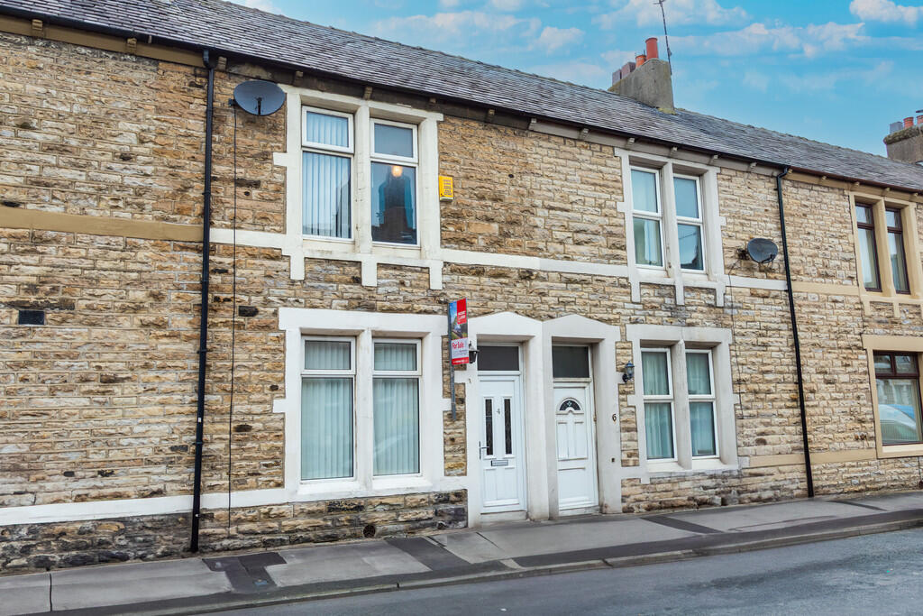
4 Hunter Street
48 metres away
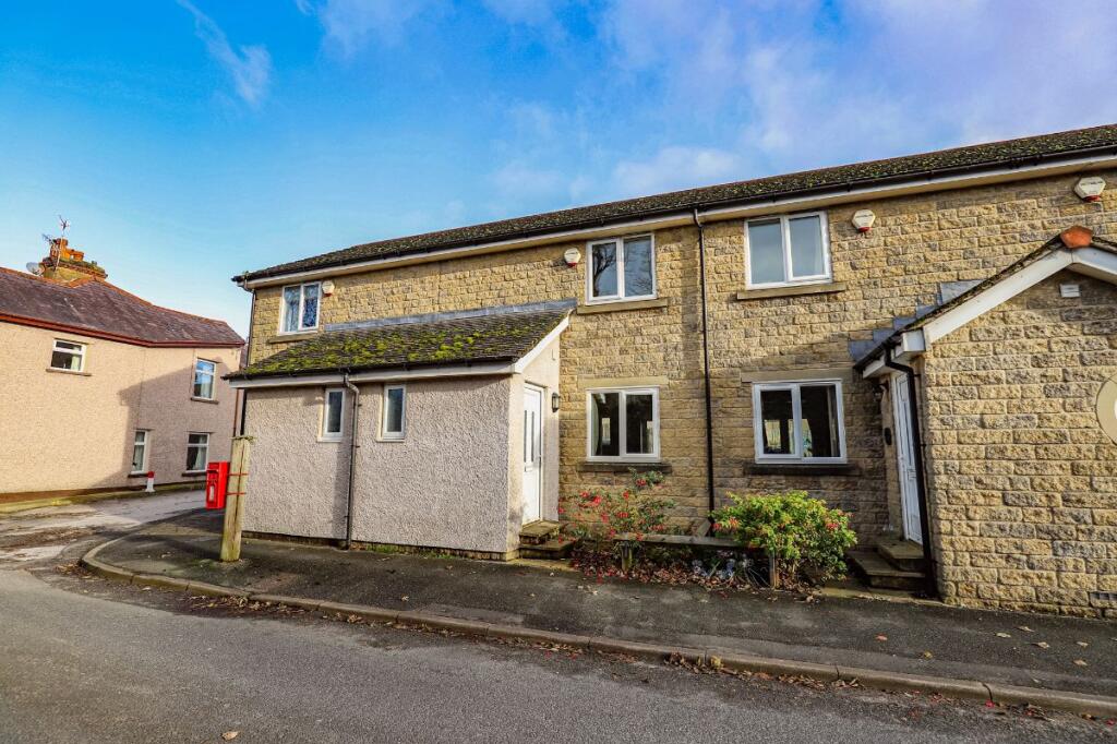
Warton Road
83 metres away
Ashtrees Way
0.11 km away
Ashtrees Way
0.11 km away
15 Pond Terrace
30 metres away
7 Pond Terrace
32 metres away
4 Hunter Street
48 metres away
Warton Road
83 metres away
Ashtrees Way
0.11 km away
Ashtrees Way
0.11 km away
Properties To Let in the Area
Market Street
0.15 km away
Preston Street
0.17 km away
Edward Street
0.20 km away
Eldrams Meadow
0.66 km away
24 Redruth Drive
0.80 km away
Fairfield Close
0.82 km away
Market Street
0.15 km away
Preston Street
0.17 km away
Edward Street
0.20 km away
Eldrams Meadow
0.66 km away
24 Redruth Drive
0.80 km away
Fairfield Close
0.82 km away
Schools
| Name | Type | Postcode | Distance | Rating |
|---|---|---|---|---|
| Carnforth Community Primary School | Primary | LA5 9LQ | 0.32 km | Good |
| Carnforth Christ Church, Church of England, Voluntary Aided Primary School | Primary | LA5 9LJ | 0.35 km | Good |
| Our Lady of Lourdes Catholic Primary School, Carnforth | Nursery, Primary | LA5 9LS | 0.59 km | Good |
| Our Lady of Lourdes Catholic Primary School, Carnforth | Nursery, Primary | LA5 9LS | 0.74 km | Not rated |
| Carnforth High School | Secondary | LA5 9LS | 0.74 km | Good |
Transport
Bus Stops & Stations
Details provided by Department for Transport
| Name | Distance |
|---|---|
| War Memorial, Market Street | 0.12 km |
| Railway Station, Haws Hill | 0.15 km |
| Scotland Road | 0.19 km |
| Keer Park, Warton Road | 0.22 km |
| Market Street | 0.26 km |
Train Stations
Details provided by Department for Transport
| Name | Distance |
|---|---|
| Carnforth Rail Station | 0.13 km |
| Silverdale Rail Station | 4.93 km |
Nearest Motorway
Details provided by Department for Transport
| Name | Distance |
|---|---|
| M6 | 1.24 km |
Coverage
- Average Broadband Speed:
-
17mb Basic
-
53mb Superfast
-
1800mb Ultrafast
-
1800mb Overall
- Mobile Coverage:
-
EEOkay
-
O2Good
-
ThreeGood
-
VodafoneOkay

Recently Sold Properties in the Area
| Address | Property Type | Distance | Price | Completed |
|---|---|---|---|---|
|
16 Hunter Street Carnforth, LA5 9BP |
Terraced | 15 metres away | £142,000 | 11 months ago |
|
15 Hunter Street Carnforth, LA5 9BP |
Terraced | 32 metres away | £188,500 | 7 months ago |
|
2 Ramsden Street Carnforth, LA5 9BW |
Terraced | 42 metres away | £122,000 | 8 months ago |
|
21 Haws Hill Carnforth, LA5 9DD |
Terraced | 0.23 km away | £104,500 | 11 months ago |
|
J Yates & Son, Hawk Street Garage, Hawk Street Carnforth, LA5 9LZ |
Terraced | 0.29 km away | £85,000 | 8 months ago |
|
51 Haws Hill Carnforth, LA5 9DD |
Terraced | 0.31 km away | £158,000 | 4 months ago |
|
61 North Road Carnforth, LA5 9NA |
Other | 0.31 km away | £110,000 | 10 months ago |
|
8 Wartonwood View Carnforth, LA5 9DE |
Semi-Detached | 0.33 km away | £170,000 | 7 months ago |
|
62 North Road Carnforth, LA5 9LJ |
Terraced | 0.35 km away | £115,000 | 4 months ago |
|
49 Lancaster Road Carnforth, LA5 9LE |
Terraced | 0.37 km away | £160,000 | 11 months ago |
Important Notice - This report is intended for general informational purposes only and should act only as a guide. The report is produced automatically on behalf of Lancastrian Estates - Lancastrian Estates - Lancaster by Street Insights, a product of Street Systems Ltd. Street Systems maintains and aggregates data from multiple public data sources and whilst every effort is made to keep information up to date and accurate, we make no representations or warranties of any kind about the accuracy, reliability or completeness of the information contained within this report for any purpose. Any reliance you place on the data contained within this report is strictly at your own risk. In no event will Lancastrian Estates - Lancastrian Estates - Lancaster or Street Systems Ltd be liable for any loss or damage including without limitation, indirect or consequential loss or damage, or any loss or damage whatsoever arising from loss of data or profits arising out of, or in connection with, the use of this report.
This report contains public sector information licensed under the Open Government License v3.0
Transaction data and HPI data is produced by HM Land Registry. Crown copyright and database rights 2025