Property Information Report
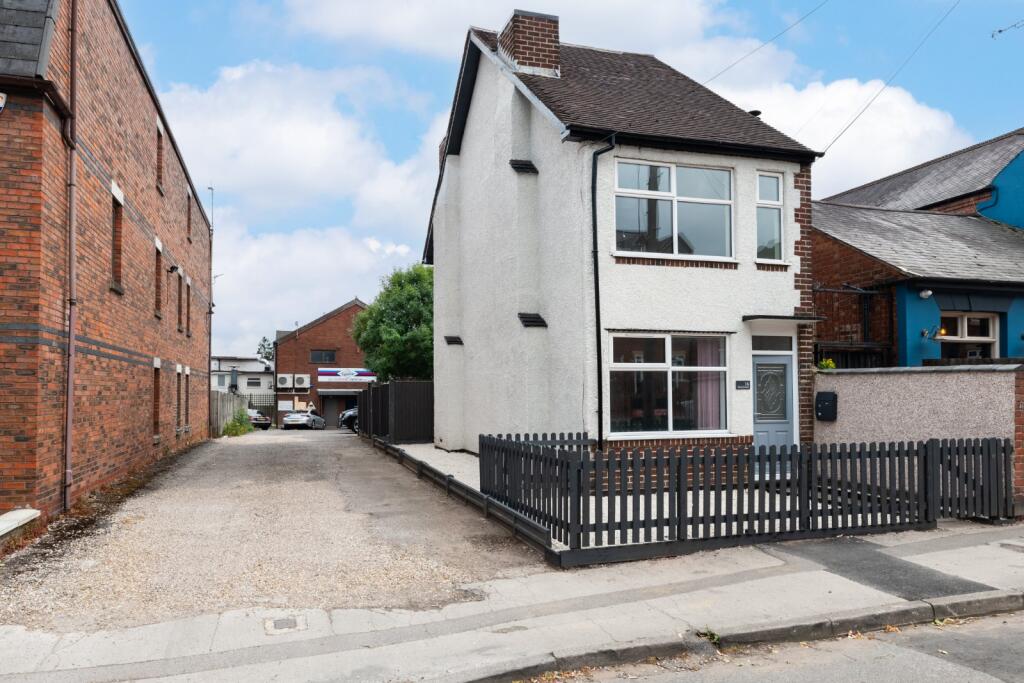
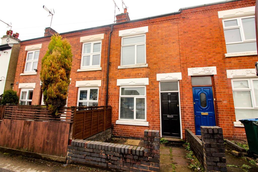
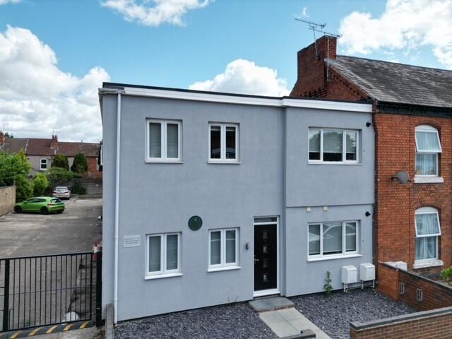
Warwick Street
Coventry, CV5
Last Sold - Dec, 2023

Description
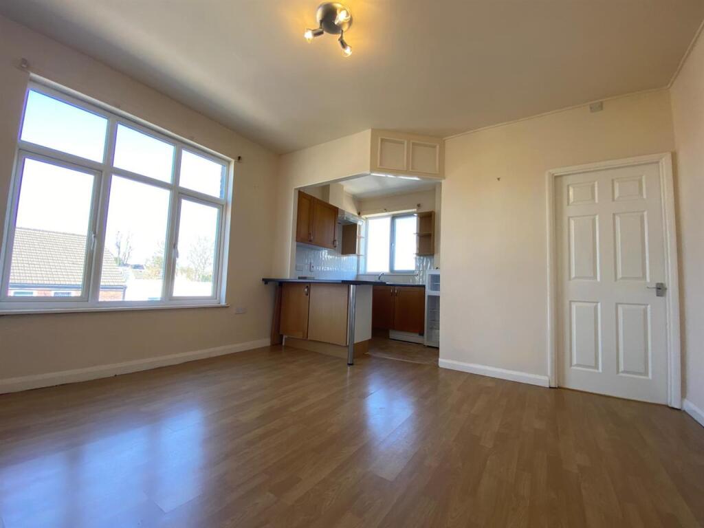
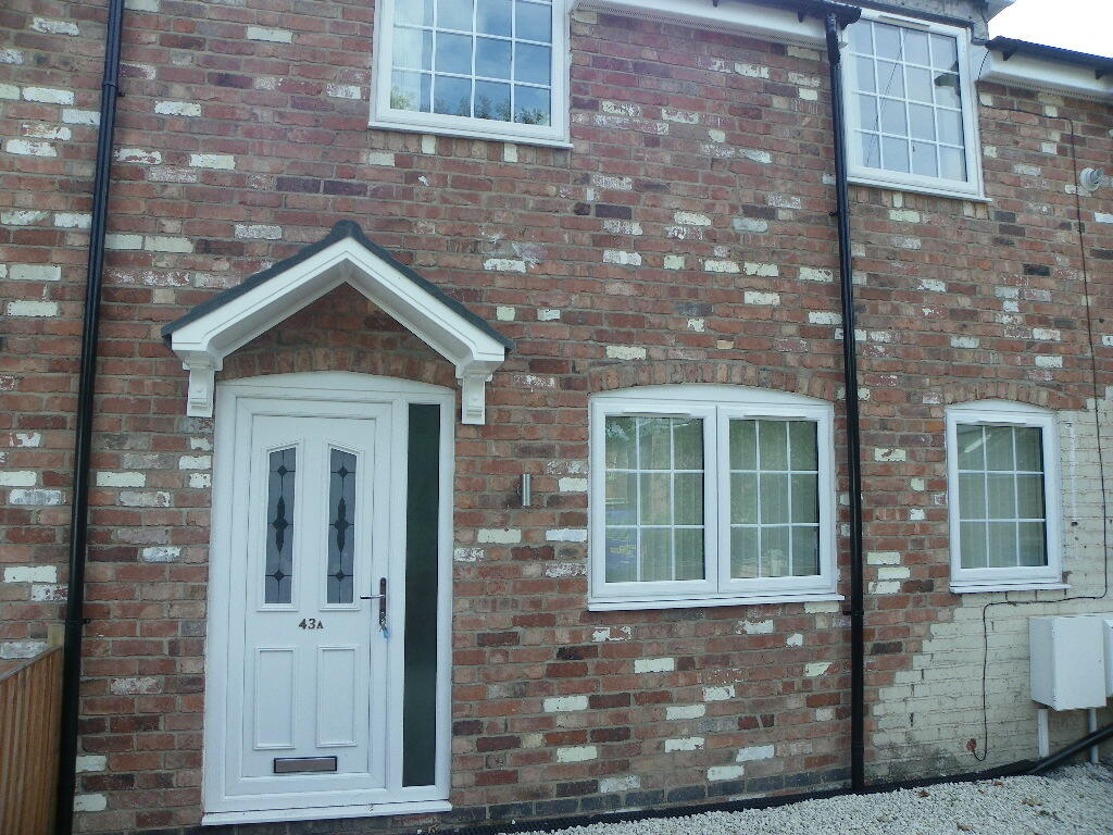
Introducing a charming and versatile two-bedroom detached house, nestled in the heart of highly sought-after Earlsdon. The ground floor has two generously sized reception rooms, a well-proportioned kitchen complementing the main living areas, with access to the private side and rear garden. A convenient shower room completes the ground floor layout. Moving upstairs, two comfortable double bedrooms await.
Outside, there is a private garden with new astroturf, providing an outdoor space to relax, entertain, or indulge in al fresco dining. A side gate offers easy access to the rear of the property and the two parking spaces, a rarity in Earlsdon, ensuring that finding a space for your vehicles is never a worry. This property benefits from a gas central heating system.
Key Facts
No lease data available
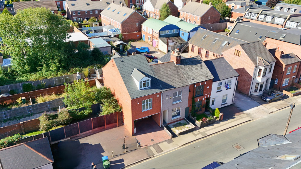
Title Plan
 Contains OS data © Crown copyright 2025
Title Information
Details provided by the Land Registry
- Title Number
- WM230289
- Plot Size
- 0.03 acres (114 sq metres)
Street View
House Prices in Coventry
Last 12 months
-
Average Price Change
£13,169
Increased by 6%
-
Detached Price Change
£27,967
Increased by 7%
Average House Prices
Last 12 months for all property types.
Since Last Sale - 21st December 2023
-
Average Price Change
£42,873
Increased by 24%
-
Detached Price Change
£75,896
Increased by 23%
Average House Prices
Since 2020 for all property types
EPC

EPC Information
Details taken from the EPC register
- Date
- 2022-06-01
- Valid Until
- 2032-05-31
- Energy Efficiency - Current
- 53
- Energy Efficiency - Potential
- 85
- Environmental Impact - Current
- 46
- Environmental Impact - Potential
- 83
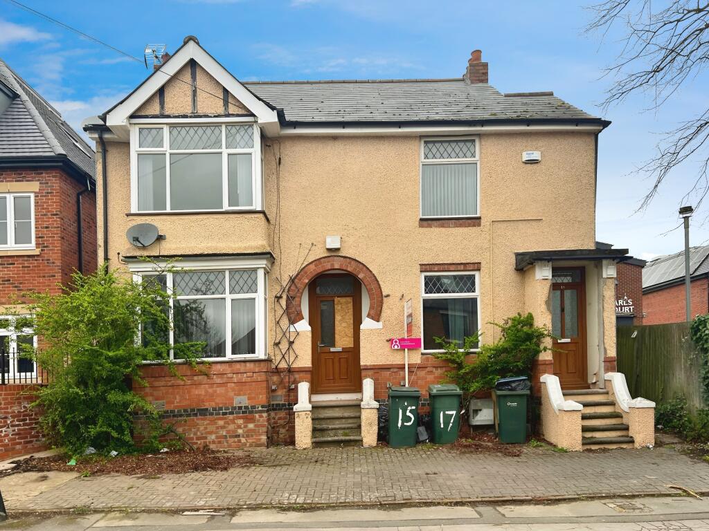
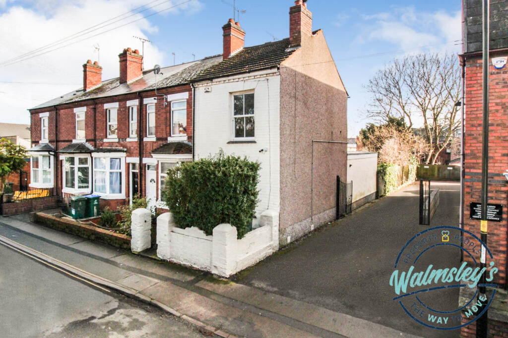
Properties For Sale in the Area
Warwick Street
Warwick Street
14 metres away
15 and 17 Warwick Street
14 metres away
Warwick Street
14 metres away
Warwick Street
33 metres away
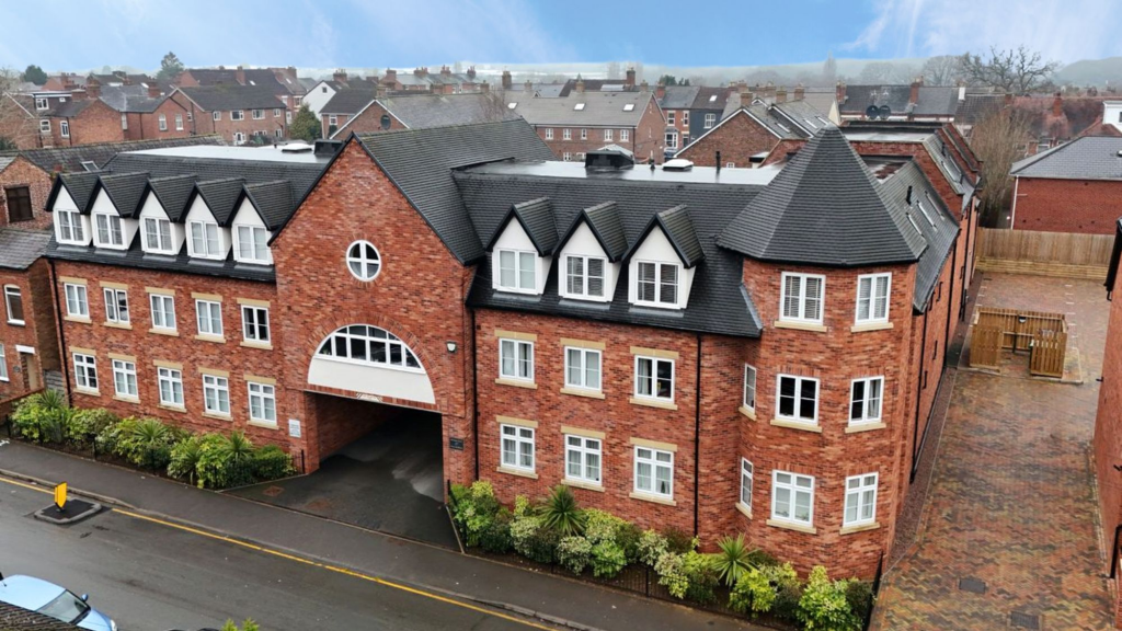
Berkeley Court
39 metres away
Properties To Let in the Area
Warwick Street
39 metres away
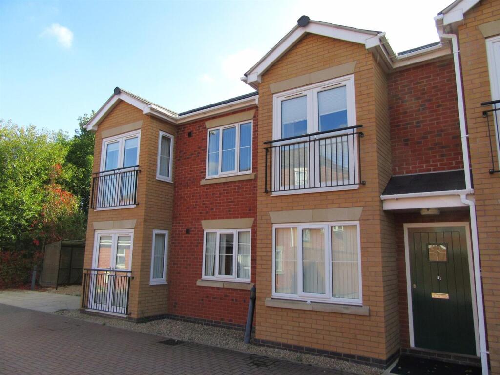
Clarendon Mews
91 metres away
Earlsdon Street
100 metres away
Earlsdon Street
100 metres away
Earlsdon Street
100 metres away
Moor Street
0.11 km away
Schools
| Name | Type | Postcode | Distance | Rating |
|---|---|---|---|---|
| Earlsdon Primary School | Primary | CV5 6FZ | 0.25 km | Good |
| Hearsall Community Academy | Nursery, Primary | CV5 6LR | 0.62 km | Good |
| All Souls' Catholic Primary School | Nursery, Primary | CV5 8ED | 0.83 km | Good |
| King Henry VIII School | Independent, Nursery, Primary, Post 16 | CV3 6AQ | 1.09 km | Not rated |
| Spon Gate Primary School | Nursery, Primary | CV1 3BQ | 1.26 km | Good |
Transport
Train Stations
Details provided by Department for Transport
| Name | Distance |
|---|---|
| Canley Rail Station | 0.97 km |
| Coventry Rail Station | 1.36 km |
| Tile Hill Rail Station | 4.34 km |
Nearest Motorway
Details provided by Department for Transport
| Name | Distance |
|---|---|
| M6 | 7.59 km |
Coverage
- Average Broadband Speed:
-
15mb Basic
-
80mb Superfast
-
1000mb Ultrafast
-
1000mb Overall
- Mobile Coverage:
-
EEOkay
-
O2Good
-
ThreeGood
-
VodafoneGood
Recently Sold Properties in the Area
| Address | Property Type | Distance | Price | Completed |
|---|---|---|---|---|
|
4 Bell Walk Coventry, CV5 6LY |
Terraced | 0.10 km away | £350,000 | 3 months ago |
|
18 Clarendon Street Coventry, CV5 6EX |
Terraced | 0.13 km away | £260,000 | 9 months ago |
|
2 Clarendon Street Coventry, CV5 6EX |
Other | 0.15 km away | £123,650 | 11 months ago |
|
2a, Clarendon Street Coventry, CV5 6EX |
Other | 0.15 km away | £123,650 | 11 months ago |
|
50 Clarendon Street Coventry, CV5 6EX |
Terraced | 0.15 km away | £265,000 | 9 months ago |
|
25 Poplar Road Coventry, CV5 6FX |
Terraced | 0.15 km away | £205,000 | 5 months ago |
|
37 Poplar Road Coventry, CV5 6FX |
Terraced | 0.15 km away | £170,000 | 5 months ago |
|
41 Arden Street Coventry, CV5 6FB |
Terraced | 0.16 km away | £365,000 | 5 months ago |
|
54 Clarendon Street Coventry, CV5 6EX |
Detached | 0.16 km away | £382,500 | 6 months ago |
|
60 Clarendon Street Coventry, CV5 6EX |
Terraced | 0.17 km away | £267,500 | 3 months ago |
Important Notice - This report is intended for general informational purposes only and should act only as a guide. The report is produced automatically on behalf of Coopers Estate Agents - Coventry by Street Insights, a product of Street Systems Ltd. Street Systems maintains and aggregates data from multiple public data sources and whilst every effort is made to keep information up to date and accurate, we make no representations or warranties of any kind about the accuracy, reliability or completeness of the information contained within this report for any purpose. Any reliance you place on the data contained within this report is strictly at your own risk. In no event will Coopers Estate Agents - Coventry or Street Systems Ltd be liable for any loss or damage including without limitation, indirect or consequential loss or damage, or any loss or damage whatsoever arising from loss of data or profits arising out of, or in connection with, the use of this report.
This report contains public sector information licensed under the Open Government License v3.0
Transaction data and HPI data is produced by HM Land Registry. Crown copyright and database rights 2025