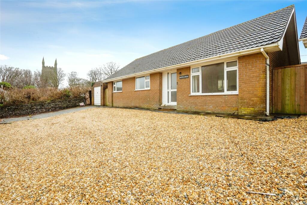
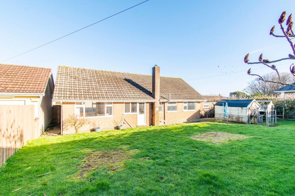
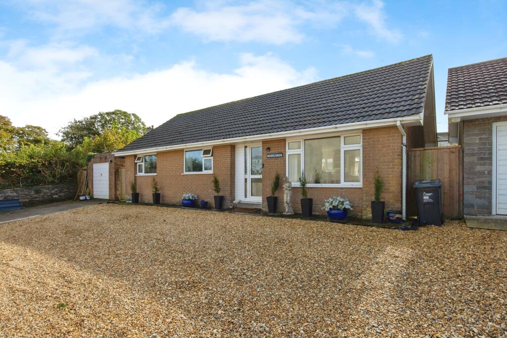
Property Information Report

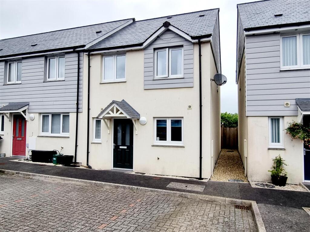
Caradon View
St. Cleer, Liskeard, PL14
Last Sold - Dec, 2024

Key Facts
Title Plan
 Contains OS data © Crown copyright 2025
Title Information
Details provided by the Land Registry
- Title Number
- CL197610
- Plot Size
- 0.14 acres (555 sq metres)
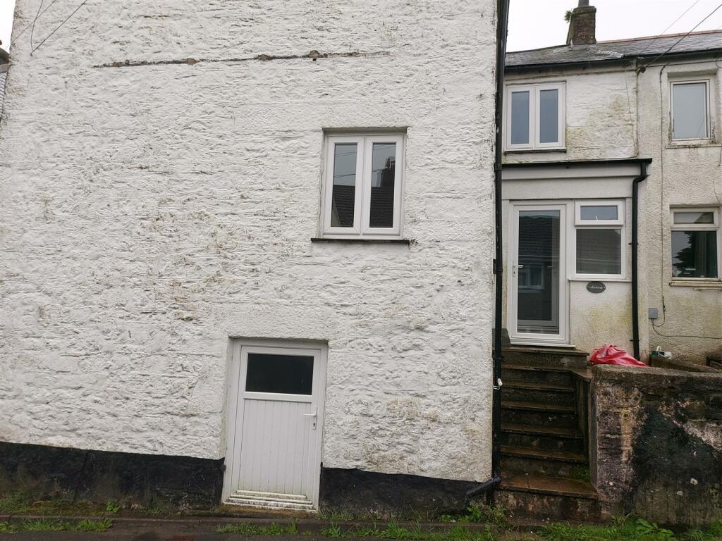
Street View
House Prices in Cornwall
Last 12 months
-
Average Price Change
£2,093
Increased by 1%
-
Detached Price Change
£735
Increased by 0%
Average House Prices
Last 12 months for all property types.
Since Last Sale - 6th December 2024
-
Average Price Change
£61,668
Increased by 27%
-
Detached Price Change
£93,194
Increased by 27%
Average House Prices
Since 2020 for all property types
EPC

EPC Information
Details taken from the EPC register
- Date
- 2024-10-13
- Valid Until
- 2034-10-12
- Energy Efficiency - Current
- 62
- Energy Efficiency - Potential
- 79
- Environmental Impact - Current
- 54
- Environmental Impact - Potential
- 72
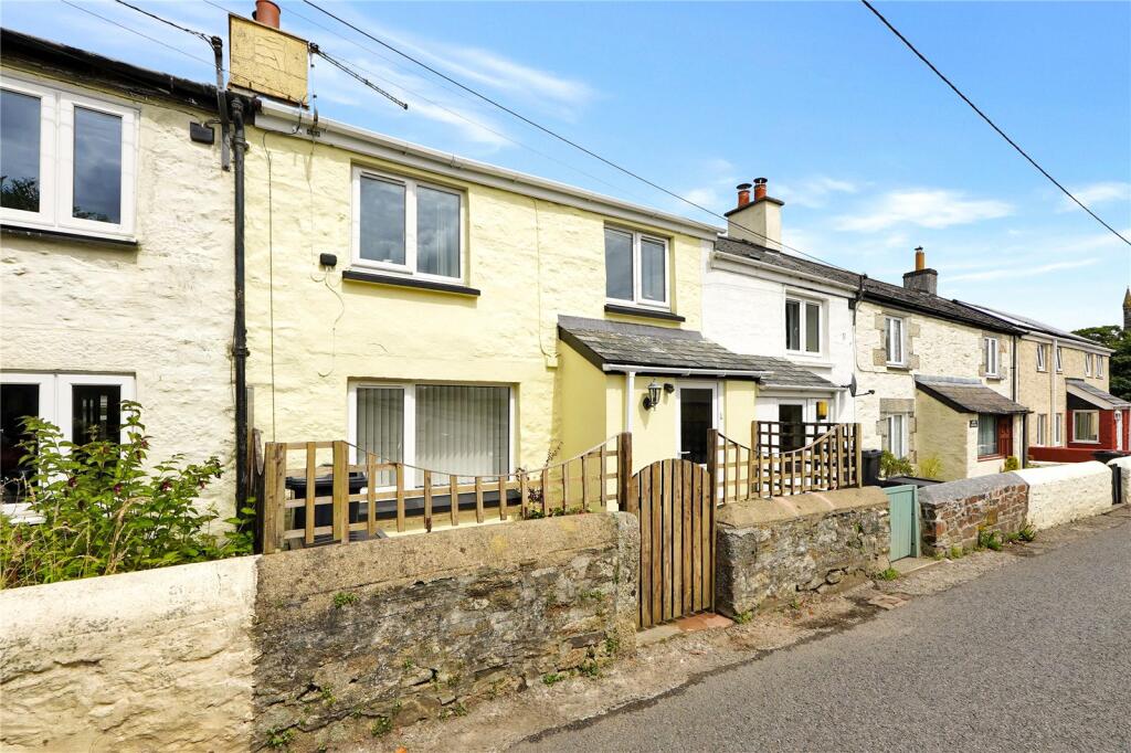
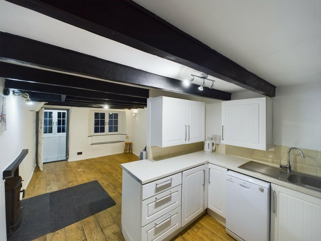
Properties For Sale in the Area
Caradon View
Caradon View
Caradon View
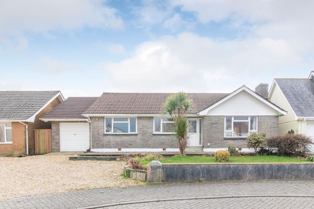
Caradon View
19 metres away
The Glebe
37 metres away
St. Cleer
42 metres away
Properties To Let in the Area
St Cleer
0.21 km away
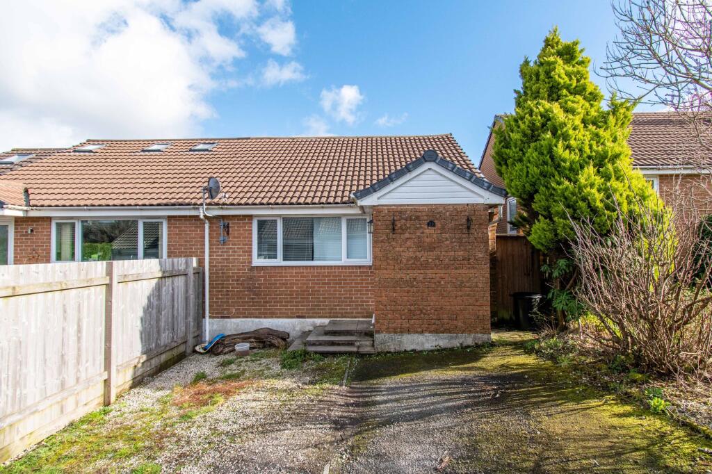
Penhale Meadow
0.24 km away
Tremar Lane
0.25 km away
Schools
| Name | Type | Postcode | Distance | Rating |
|---|---|---|---|---|
| St Cleer Primary Academy | Nursery, Primary | PL14 5EA | 0.50 km | Not rated |
| Darite Primary Academy | Primary | PL14 5JH | 1.91 km | Good |
| Liskeard School and Community College | Special | PL14 3EA | 3.27 km | Good |
| Caradon Alternative Provision Academy | Special, Pru | PL14 6BS | 3.48 km | Not rated |
| Liskeard Hillfort Primary School | Primary | PL14 6HZ | 3.54 km | Good |
Transport
Bus Stops & Stations
Details provided by Department for Transport
| Name | Distance |
|---|---|
| Humphreys Close | 55 metres |
| Market Inn, Well Lane | 0.16 km |
| Kilmar Way | 0.26 km |
| Sports Field | 0.40 km |
| St Cleer Primary School, Well Lane | 0.43 km |
Train Stations
Details provided by Department for Transport
| Name | Distance |
|---|---|
| Liskeard Rail Station | 4.45 km |
| Coombe Junction Halt (Rail Station) | 4.67 km |
Coverage
- Average Broadband Speed:
-
3mb Basic
-
72mb Superfast
-
1800mb Ultrafast
-
1800mb Overall
- Mobile Coverage:
-
EEOkay
-
O2Good
-
ThreeGood
-
VodafoneOkay
Recently Sold Properties in the Area
| Address | Property Type | Distance | Price | Completed |
|---|---|---|---|---|
|
Woodlands, Caradon View St. Cleer, Liskeard, PL14 5DW |
Detached | away | £277,000 | 4 months ago |
|
3 Symons Row St. Cleer, Liskeard, PL14 5DN |
Terraced | 42 metres away | £175,000 | 4 months ago |
|
42 Penhale Meadow St. Cleer, Liskeard, PL14 5RR |
Detached | 94 metres away | £320,000 | 3 months ago |
|
4 Humphreys Close St. Cleer, Liskeard, PL14 5DP |
Detached | 0.11 km away | £190,000 | 6 months ago |
|
10 Humphreys Close St. Cleer, Liskeard, PL14 5DP |
Detached | 0.13 km away | £272,500 | 6 months ago |
|
4 Welsby Terrace St. Cleer, Liskeard, PL14 5DR |
Terraced | 0.13 km away | £277,500 | 11 months ago |
|
16 Penhale Meadow St. Cleer, Liskeard, PL14 5RR |
Semi-Detached | 0.20 km away | £232,500 | 5 months ago |
|
Rose Cottage, Fore Street St. Cleer, Liskeard, PL14 5DA |
Terraced | 0.22 km away | £165,000 | 8 months ago |
|
Edgemoor Cottage St. Cleer, Liskeard, PL14 5DF |
Detached | 0.23 km away | £522,500 | 5 months ago |
|
9 Trecarne View St. Cleer, Liskeard, PL14 5BS |
Detached | 0.26 km away | £325,000 | 4 months ago |
Important Notice - This report is intended for general informational purposes only and should act only as a guide. The report is produced automatically on behalf of Parkes and Pearn - Parkes and Pearn by Street Insights, a product of Street Systems Ltd. Street Systems maintains and aggregates data from multiple public data sources and whilst every effort is made to keep information up to date and accurate, we make no representations or warranties of any kind about the accuracy, reliability or completeness of the information contained within this report for any purpose. Any reliance you place on the data contained within this report is strictly at your own risk. In no event will Parkes and Pearn - Parkes and Pearn or Street Systems Ltd be liable for any loss or damage including without limitation, indirect or consequential loss or damage, or any loss or damage whatsoever arising from loss of data or profits arising out of, or in connection with, the use of this report.
This report contains public sector information licensed under the Open Government License v3.0
Transaction data and HPI data is produced by HM Land Registry. Crown copyright and database rights 2025