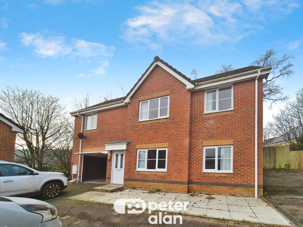
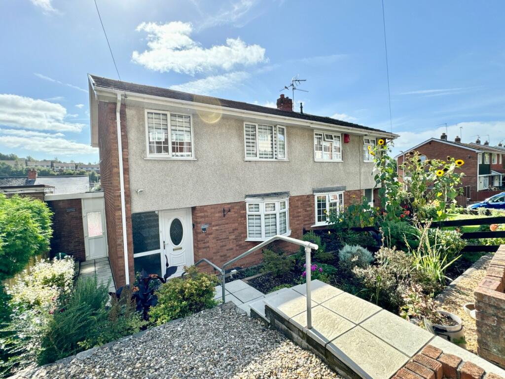
Property Information Report
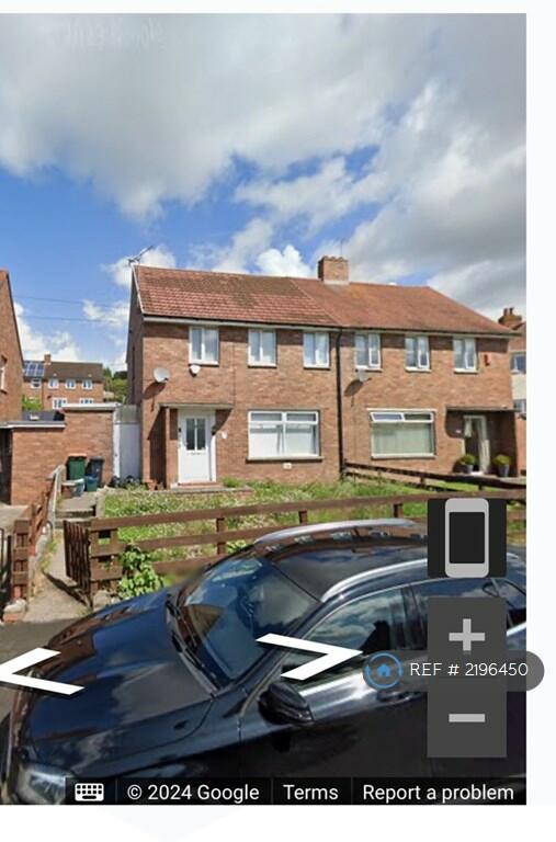
605 Chepstow Road
Newport, NP19 9BN
Estimated Rental Value - £1,525 PCM
Last Sold - Feb, 2023

Key Facts
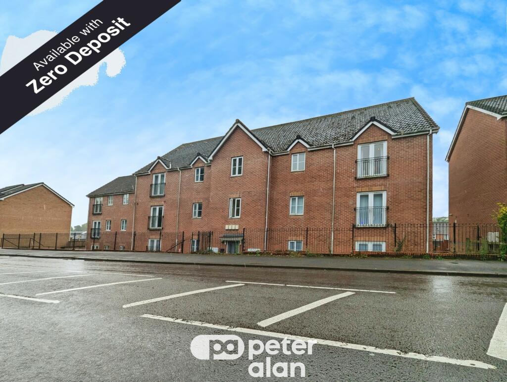
Properties To Let in the Area
Henrywood Close
0.58 km away
Liswerry Road
0.60 km away
Liswerry Road
0.63 km away
Ladyhill Road
0.64 km away
Bishpool View
0.70 km away
Chepstow Road
0.76 km away
About Us
An Agent for LIfe
Our transformative approach is built on everything we believe estate agency should be. We offer you an Agent for Life: Your trusted advisor whenever you need help with property-related matters because we are known for our genuine care for helping people with their next move.
Find out more at Number One Real Estate
Title Plan
Title Information
Details provided by the Land Registry
- Title Number
- WA28581
- Plot Size
- 0.07 acres (269 sq metres)
Street View
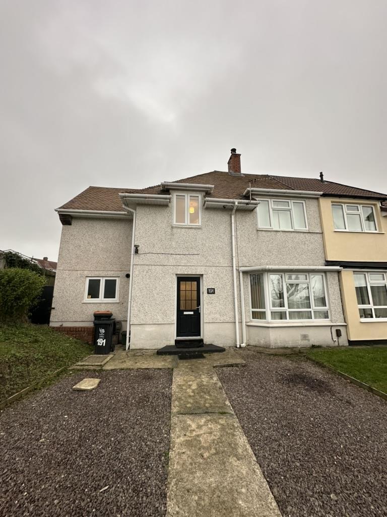
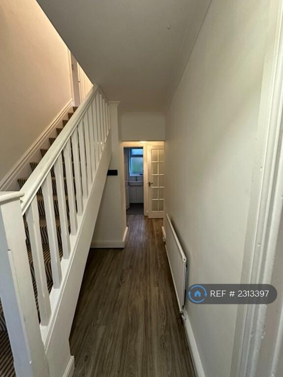
Videos & Virtual Tours
House Prices in Newport
Last 12 months
-
Average Price Change
£4,661
Increased by 2%
-
Semi-Detached Price Change
£5,320
Increased by 2%
Average House Prices
Last 12 months for all property types.
Since Last Sale - 24th February 2023
-
Average Price Change
£49,577
Increased by 27%
-
Semi-Detached Price Change
£52,962
Increased by 27%
Average House Prices
Since 2019 for all property types
EPC

EPC Information
Details taken from the EPC register
- Date
- 2022-06-27
- Valid Until
- 2032-06-26
- Energy Efficiency - Current
- 65
- Energy Efficiency - Potential
- 82
- Environmental Impact - Current
- 57
- Environmental Impact - Potential
- 77
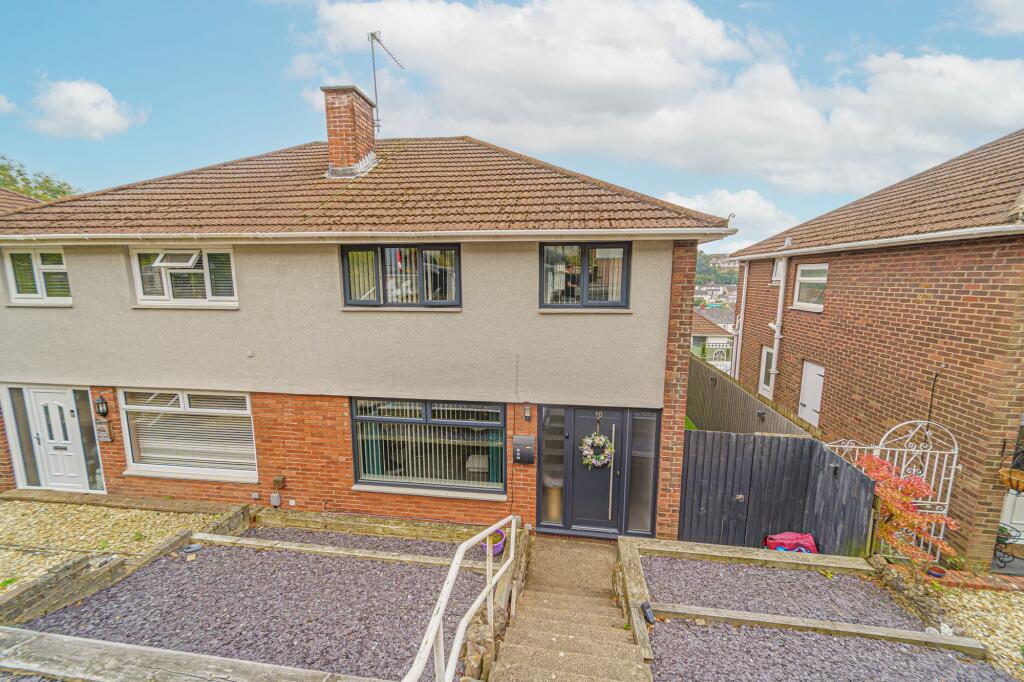
Properties For Sale in the Area
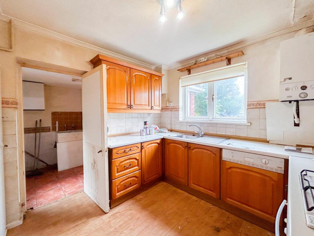
Farmwood Close
46 metres away
Chepstow Road
60 metres away
Farmwood Close
63 metres away
Glanwern Rise
0.18 km away
East Grove Road
0.20 km away

East Grove Road
0.20 km away
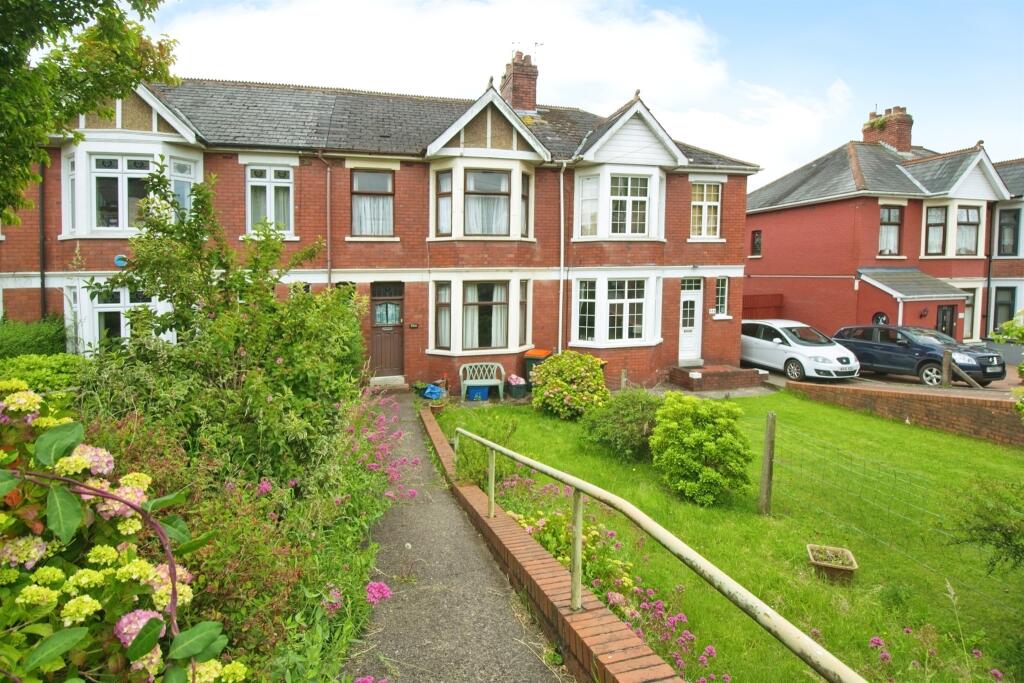
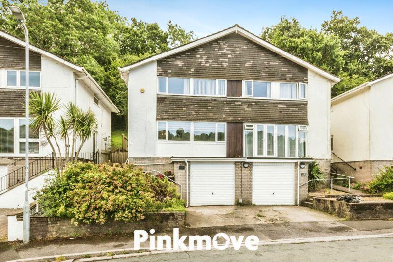
Recently Sold Properties in the Area
| Address | Property Type | Distance | Price | Completed |
|---|---|---|---|---|
|
16 Farmwood Close Newport, NP19 9BP |
Semi-Detached | 39 metres away | £202,000 | 3 months ago |
|
516 Chepstow Road Newport, NP19 9DA |
Semi-Detached | 67 metres away | £330,000 | 8 months ago |
|
3 Farmwood Close Newport, NP19 9BR |
Semi-Detached | 97 metres away | £215,000 | 11 months ago |
|
44 Farmwood Close Newport, NP19 9BP |
Semi-Detached | 0.11 km away | £197,000 | 6 months ago |
|
49 Farmwood Close Newport, NP19 9BR |
Semi-Detached | 0.13 km away | £190,000 | 11 months ago |
|
47 Farmwood Close Newport, NP19 9BR |
Semi-Detached | 0.13 km away | £175,000 | 6 months ago |
|
5 Glanwern Avenue Newport, NP19 9BU |
Semi-Detached | 0.16 km away | £255,000 | 11 months ago |
|
643 Chepstow Road Newport, NP19 9BY |
Detached | 0.19 km away | £270,000 | 7 months ago |
|
98 East Grove Road Newport, NP19 9QE |
Semi-Detached | 0.20 km away | £223,500 | 3 months ago |
|
8 Aberthaw Close Newport, NP19 9QA |
Terraced | 0.22 km away | £240,000 | 4 months ago |
Schools
| Name | Type | Postcode | Distance | Rating |
|---|---|---|---|---|
| Alway Primary School | Nursery, Primary | NP19 9QP | 0.59 km | Not rated |
| Somerton Primary | Nursery, Primary | NP19 9AB | 0.65 km | Not rated |
| Ringland Primary | Nursery, Primary | NP19 9LU | 1.06 km | Not rated |
| St. Gabriel's R.C. | Primary | NP19 9PQ | 1.10 km | Not rated |
| St Patricks R.C. Primary | Nursery, Primary | NP19 0HR | 1.26 km | Not rated |
Transport
Bus Stops & Stations
Details provided by Department for Transport
| Name | Distance |
|---|---|
| Farmwood Close | 0.11 km |
| Glanwern Grove | 0.12 km |
| Christchurch Road Middle, Christchurch Road | 0.36 km |
| East Grove Road | 0.37 km |
| St Julians Park Footpath, Christchurch Road | 0.37 km |
Train Stations
Details provided by Department for Transport
| Name | Distance |
|---|---|
| Newport (S Wales) Rail Station | 3.15 km |
Nearest Motorway
Details provided by Department for Transport
| Name | Distance |
|---|---|
| M4 | 2.32 km |
Coverage
- Average Broadband Speed:
-
14mb Basic
-
77mb Superfast
-
1000mb Ultrafast
-
1000mb Overall
- Mobile Coverage:
-
EEOkay
-
O2Good
-
ThreeOkay
-
VodafoneOkay
Important Notice - This report is intended for general informational purposes only and should act only as a guide. The report is produced automatically on behalf of Number One Real Estate - Kaite by Street Insights, a product of Street Systems Ltd. Street Systems maintains and aggregates data from multiple public data sources and whilst every effort is made to keep information up to date and accurate, we make no representations or warranties of any kind about the accuracy, reliability or completeness of the information contained within this report for any purpose. Any reliance you place on the data contained within this report is strictly at your own risk. In no event will Number One Real Estate - Kaite or Street Systems Ltd be liable for any loss or damage including without limitation, indirect or consequential loss or damage, or any loss or damage whatsoever arising from loss of data or profits arising out of, or in connection with, the use of this report.
This report contains public sector information licensed under the Open Government License v3.0
Transaction data and HPI data is produced by HM Land Registry. Crown copyright and database rights 2025