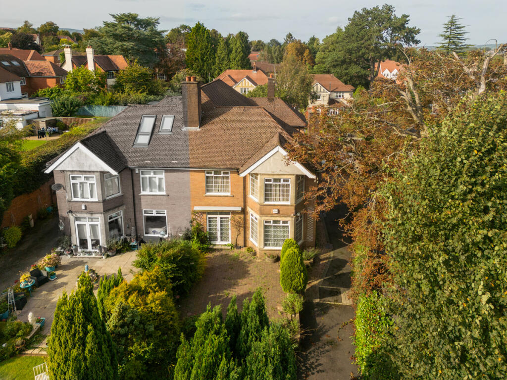
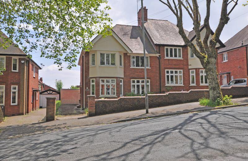
Property Information Report
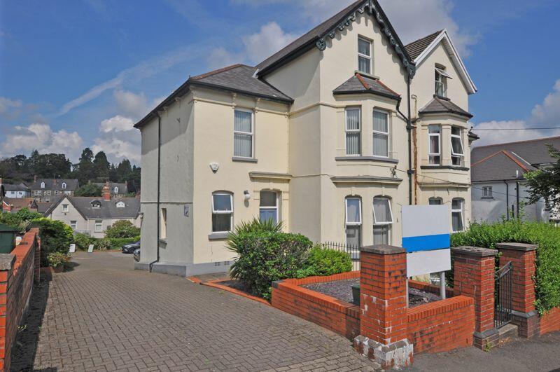
55 Fields Park Road
Newport, NP20 5BH
Estimated Rental Value - £2,750 PCM
Last Sold - Nov, 2022

Key Facts
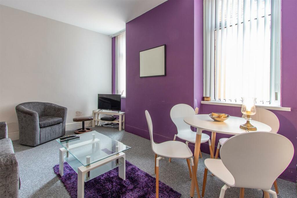
Properties To Let in the Area
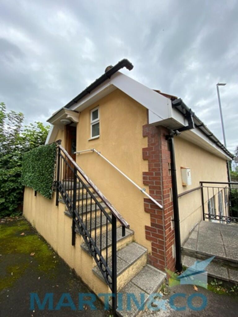
The Coach House
0.13 km away
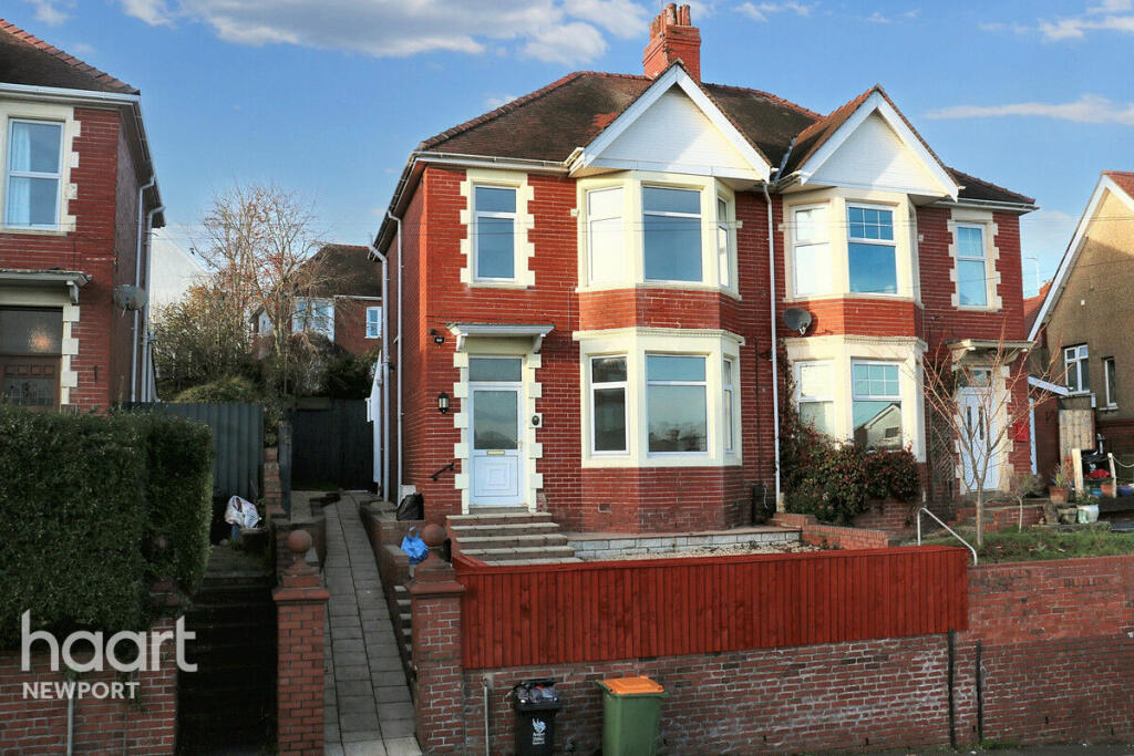
Southville Road
0.22 km away
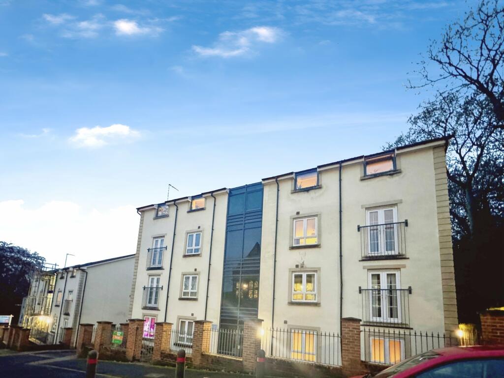
Cwrt-Maes-Y-Lyn
0.36 km away
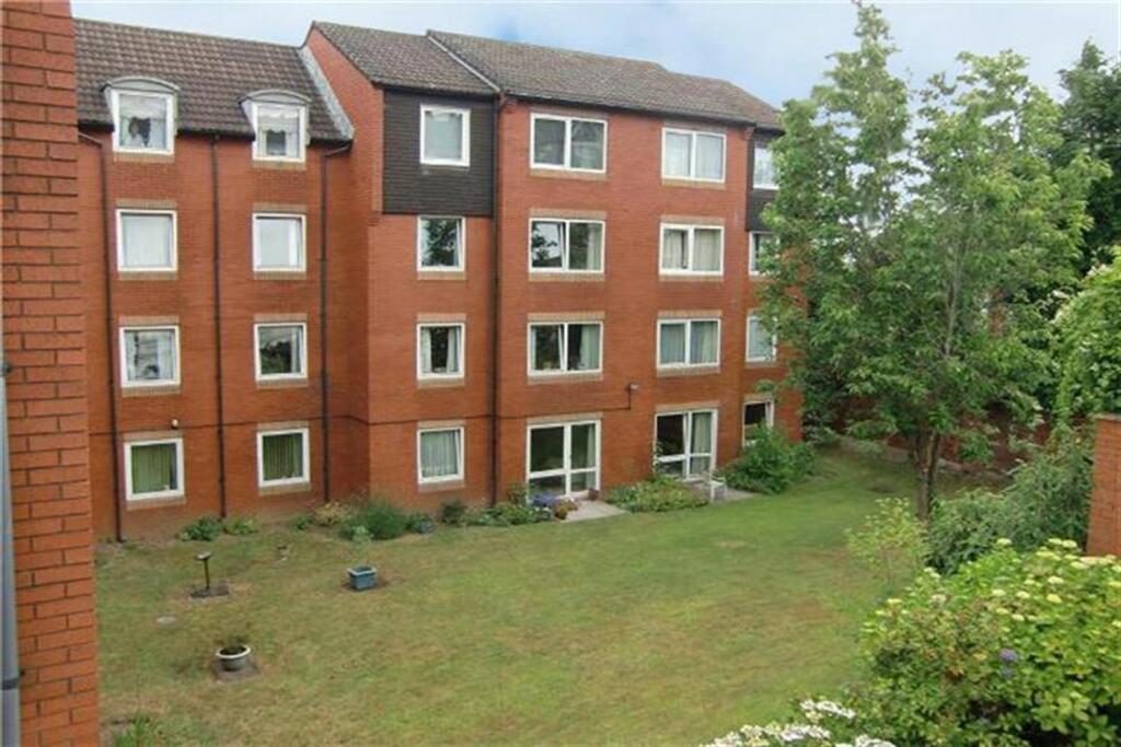
Homevalley House
0.39 km away
Bryngwyn Road
0.43 km away
Luxury Top Floor Apartment
0.58 km away
About Us
An Agent for LIfe
Our transformative approach is built on everything we believe estate agency should be. We offer you an Agent for Life: Your trusted advisor whenever you need help with property-related matters because we are known for our genuine care for helping people with their next move.
Find out more at Number One Real Estate
Title Plan
Title Information
Details provided by the Land Registry
- Title Number
- WA104612
- Plot Size
- 0.31 acres (1272 sq metres)
Street View
House Prices in Newport
Last 12 months
-
Average Price Change
£5,930
Increased by 3%
-
Detached Price Change
£11,362
Increased by 3%
Average House Prices
Last 12 months for all property types.
Since Last Sale - 28th November 2022
-
Average Price Change
£2,453
Increased by 1%
-
Detached Price Change
£5,943
Increased by 2%
Average House Prices
Since last sale in 2022 for all property types
EPC

EPC Information
Details taken from the EPC register
- Date
- 2024-06-15
- Valid Until
- 2034-06-14
- Energy Efficiency - Current
- 70
- Energy Efficiency - Potential
- 77
- Environmental Impact - Current
- 62
- Environmental Impact - Potential
- 70
Properties For Sale in the Area
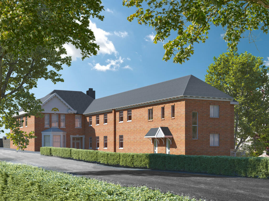
Fields Park Road
35 metres away
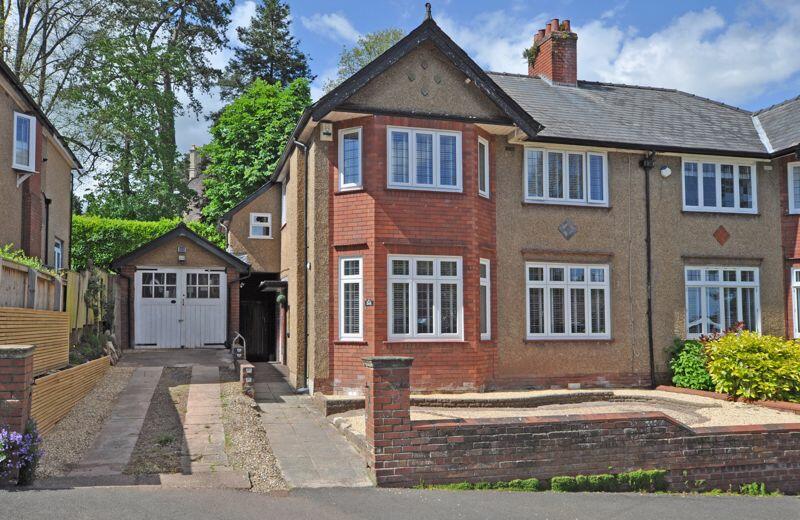
Substantial Period House
48 metres away
Fields Park Road
0.10 km away
Kings Acre
0.11 km away
Substantial Period House
0.11 km away
Kings Acre Fields Park Road
0.12 km away
Recently Sold Properties in the Area
| Address | Property Type | Distance | Price | Completed |
|---|---|---|---|---|
|
2 Fields Park Crescent Newport, NP20 5BN |
Detached | 0.14 km away | £580,000 | 5 months ago |
|
6 Llwynderi Road Newport, NP20 4LW |
Semi-Detached | 0.21 km away | £300,000 | 1 year ago |
|
43 Edward VII Avenue Newport, NP20 4NH |
Semi-Detached | 0.22 km away | £372,000 | 11 months ago |
|
1 Ridgeway Rise Newport, NP20 5AU |
Detached | 0.26 km away | £310,000 | 3 months ago |
|
5 Westville Road Newport, NP20 4LU |
Terraced | 0.27 km away | £235,000 | 2 months ago |
|
12 Clewer Court Newport, NP20 4LQ |
Flats/Maisonettes | 0.27 km away | £220,000 | 7 months ago |
|
18 Clewer Court Newport, NP20 4LQ |
Flats/Maisonettes | 0.27 km away | £150,000 | 7 months ago |
|
12 Ridgeway Gardens Newport, NP20 5AY |
Detached | 0.31 km away | £310,000 | 7 months ago |
|
24 Preston Avenue Newport, NP20 4JE |
Terraced | 0.35 km away | £290,000 | 6 months ago |
|
21 Hazel Tree Grove Newport, NP20 5EW |
Detached | 0.35 km away | £535,000 | 10 months ago |
Schools
| Name | Type | Postcode | Distance | Rating |
|---|---|---|---|---|
| Clytha Primary School | Nursery, Primary | NP20 4JT | 0.35 km | Not rated |
| Greenfields School | Independent | NP20 4FN | 0.98 km | Not rated |
| St Marys Primary School | Primary | NP20 5HJ | 1.00 km | Not rated |
| Ysgol Bryn Derw | Post 16, Special | NP20 3FQ | 1.06 km | Not rated |
| St. Woolos Primary | Nursery, Primary | NP20 4DW | 1.13 km | Not rated |
Transport
Bus Stops & Stations
Details provided by Department for Transport
| Name | Distance |
|---|---|
| Llwynderi Road | 0.14 km |
| Edward Vii Crescent, Edward VII Avenue | 0.14 km |
| Woodville Road | 0.18 km |
| Fields Park Crescent, Fields Road | 0.26 km |
| Ridgeway Community Centre, Ridgeway Hill | 0.28 km |
Train Stations
Details provided by Department for Transport
| Name | Distance |
|---|---|
| Newport (S Wales) Rail Station | 1.01 km |
| Pye Corner Rail Station | 2.07 km |
| Rogerstone Rail Station | 3.76 km |
Nearest Motorway
Details provided by Department for Transport
| Name | Distance |
|---|---|
| M4 | 1.55 km |
Coverage
- Average Broadband Speed:
-
13mb Basic
-
40mb Superfast
-
1000mb Ultrafast
-
1000mb Overall
- Mobile Coverage:
-
EEOkay
-
O2Good
-
ThreeGood
-
VodafoneOkay
Important Notice - This report is intended for general informational purposes only and should act only as a guide. The report is produced automatically on behalf of Number One Real Estate - Kaite by Street Insights, a product of Street Systems Ltd. Street Systems maintains and aggregates data from multiple public data sources and whilst every effort is made to keep information up to date and accurate, we make no representations or warranties of any kind about the accuracy, reliability or completeness of the information contained within this report for any purpose. Any reliance you place on the data contained within this report is strictly at your own risk. In no event will Number One Real Estate - Kaite or Street Systems Ltd be liable for any loss or damage including without limitation, indirect or consequential loss or damage, or any loss or damage whatsoever arising from loss of data or profits arising out of, or in connection with, the use of this report.
This report contains public sector information licensed under the Open Government License v3.0
Transaction data and HPI data is produced by HM Land Registry. Crown copyright and database rights 2025