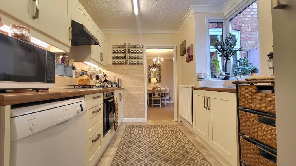
Property Information Report
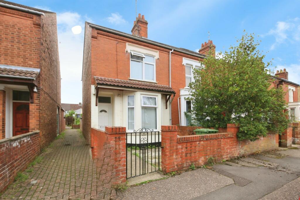
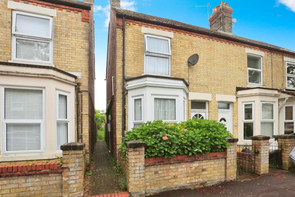
Aldermans Drive
Peterborough, PE3
Estimated Value - £235,000
Estimated Rental Value - £625 PCM
Last Sold - May, 2016

Key Facts
Title Plan
 Contains OS data © Crown copyright 2025
Title Information
Details provided by the Land Registry
- Title Number
- CB183711
- Plot Size
- 0.08 acres (336 sq metres)
Street View
House Prices in Peterborough
Last 12 months
-
Average Price Change
£2,579
Increased by 1%
-
Detached Price Change
£2,415
Increased by 1%
Average House Prices
Last 12 months for all property types.
Since - February 2020
-
Average Price Change
£40,097
Increased by 21%
-
Detached Price Change
£61,331
Increased by 20%
Average House Prices
Since 2020 for all property types
EPC

EPC Information
Details taken from the EPC register
- Date
- 2015-09-16
- Valid Until
- 2025-09-15
- Energy Efficiency - Current
- 43
- Energy Efficiency - Potential
- 76
- Environmental Impact - Current
- 40
- Environmental Impact - Potential
- 73
Properties For Sale in the Area
Clifton Avenue
66 metres away
Clifton Avenue
76 metres away
Williamson Avenue
86 metres away
Percival Street
96 metres away
South Parade
0.11 km away
Williamson Avenue
0.12 km away
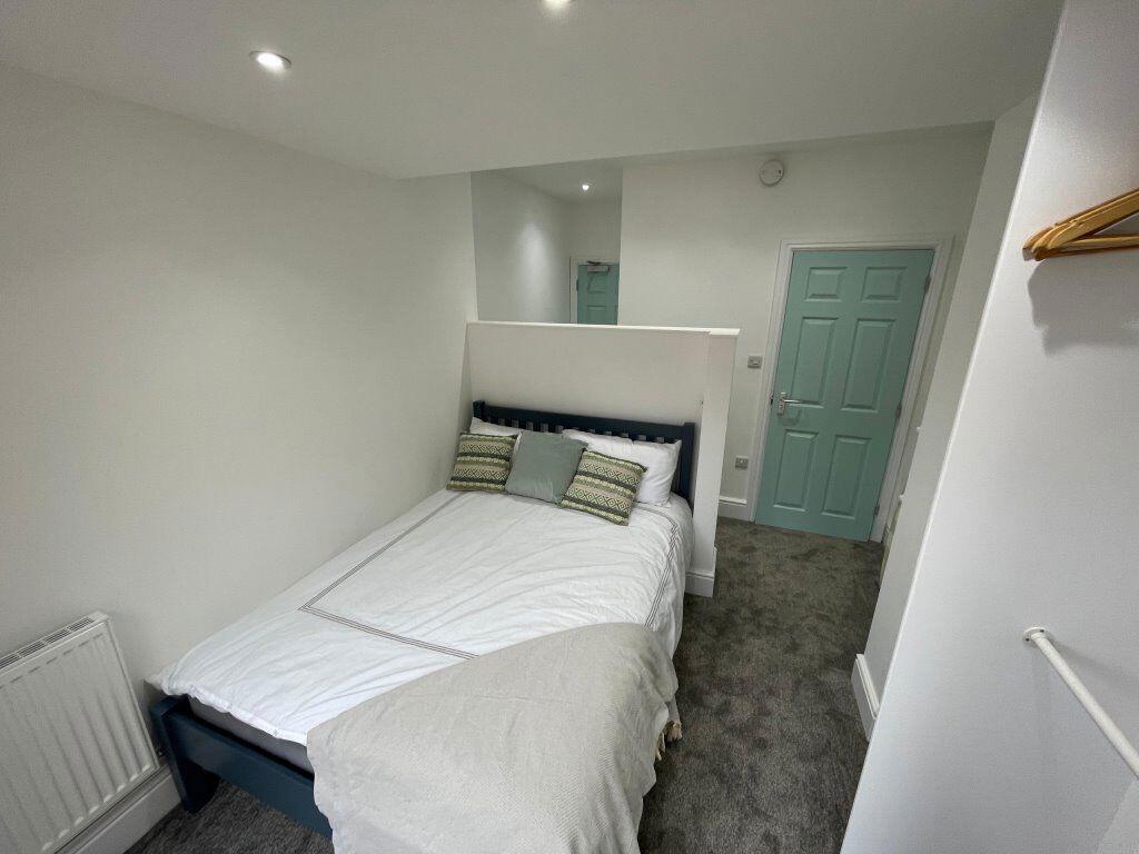
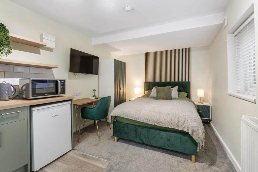
Properties To Let in the Area
Rm 3
46 metres away
Rm 1
46 metres away

Rm 5
46 metres away
Rm 2
46 metres away

Rm 4
46 metres away
Rm 4
66 metres away
Schools
| Name | Type | Postcode | Distance | Rating |
|---|---|---|---|---|
| Richard Barnes Academy | Primary | PE3 6BA | 0.13 km | Not rated |
| West Town Primary Academy | Primary | PE3 6DD | 0.27 km | Good |
| The Peterborough School | Independent, Nursery, Primary, Post 16 | PE3 6AP | 0.37 km | Not rated |
| The Beeches Independent School | Special, Independent | PE3 6AN | 0.50 km | Not rated |
| The Beeches Primary School | Primary | PE1 2EH | 0.80 km | Good |
Transport
Train Stations
Details provided by Department for Transport
| Name | Distance |
|---|---|
| Peterborough Rail Station | 0.55 km |
Nearest Motorway
Details provided by Department for Transport
| Name | Distance |
|---|---|
| A1(M) | 6.40 km |
Tram and Metro Stations
Details provided by Department for Transport
| Name | Distance |
|---|---|
| Peterborough (Nene Valley Railway) | 1.20 km |
Coverage
- Average Broadband Speed:
-
14mb Basic
-
55mb Superfast
-
1000mb Ultrafast
-
1000mb Overall
- Mobile Coverage:
-
EEOkay
-
O2Good
-
ThreeOkay
-
VodafoneOkay
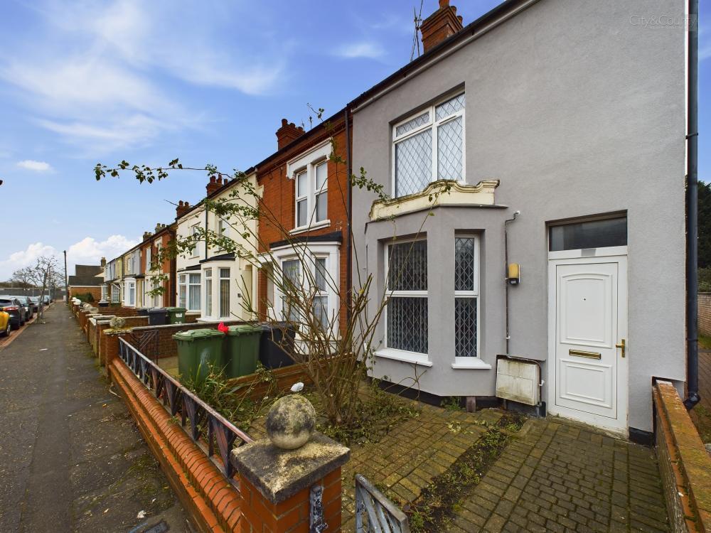
Recently Sold Properties in the Area
| Address | Property Type | Distance | Price | Completed |
|---|---|---|---|---|
|
86 Aldermans Drive Peterborough, PE3 6AZ |
Terraced | 13 metres away | £250,000 | 7 months ago |
|
88 Aldermans Drive Peterborough, PE3 6AZ |
Detached | 20 metres away | £310,000 | 9 months ago |
|
52 Clifton Avenue Peterborough, PE3 6AY |
Terraced | 38 metres away | £81,000 | 4 months ago |
|
32 Clifton Avenue Peterborough, PE3 6AY |
Terraced | 80 metres away | £220,000 | 10 months ago |
|
23 Clifton Avenue Peterborough, PE3 6AY |
Terraced | 95 metres away | £150,000 | 3 months ago |
|
42 Percival Street Peterborough, PE3 6AU |
Terraced | 0.12 km away | £165,000 | 4 months ago |
|
137 Aldermans Drive Peterborough, PE3 6BB |
Semi-Detached | 0.12 km away | £181,000 | 9 months ago |
|
48 Aldermans Drive Peterborough, PE3 6AR |
Terraced | 0.16 km away | £155,000 | 4 months ago |
|
3 Anderson Drive Peterborough, PE3 6HS |
Semi-Detached | 0.18 km away | £299,400 | 5 months ago |
|
20 Chapman Avenue Peterborough, PE3 6HH |
Flats/Maisonettes | 0.18 km away | £198,000 | 11 months ago |
Important Notice - This report is intended for general informational purposes only and should act only as a guide. The report is produced automatically on behalf of Progressive Lets Ltd - Progressive Lets Ltd by Street Insights, a product of Street Systems Ltd. Street Systems maintains and aggregates data from multiple public data sources and whilst every effort is made to keep information up to date and accurate, we make no representations or warranties of any kind about the accuracy, reliability or completeness of the information contained within this report for any purpose. Any reliance you place on the data contained within this report is strictly at your own risk. In no event will Progressive Lets Ltd - Progressive Lets Ltd or Street Systems Ltd be liable for any loss or damage including without limitation, indirect or consequential loss or damage, or any loss or damage whatsoever arising from loss of data or profits arising out of, or in connection with, the use of this report.
This report contains public sector information licensed under the Open Government License v3.0
Transaction data and HPI data is produced by HM Land Registry. Crown copyright and database rights 2025