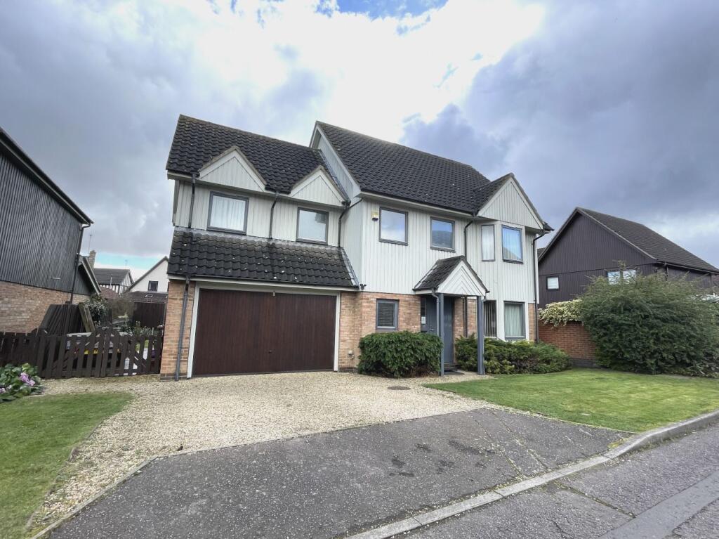
Property Information Report
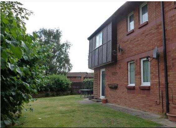
5 Baron Court
Peterborough, PE4 7ZE
Estimated Value - £385,992
Estimated Rental Value - £1,450 PCM
Last Sold - Apr, 2024

Key Facts
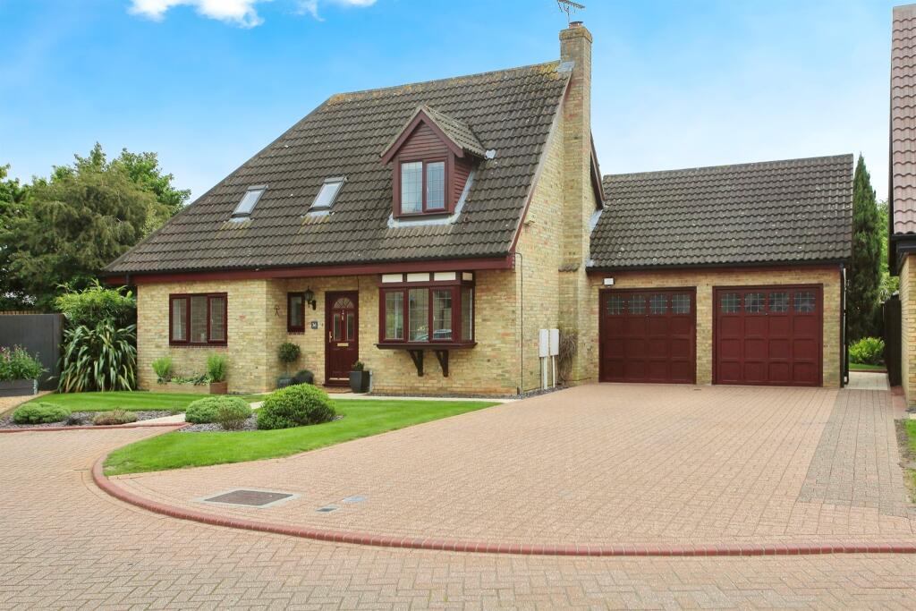
Properties To Let in the Area
Welbourne
0.38 km away
Aster Drive
0.42 km away
Campbell Drive
0.46 km away
Campbell Drive
0.48 km away
Canwell
0.54 km away

Copsewood
0.58 km away
Title Plan
Title Information
Details provided by the Land Registry
- Title Number
- CB75077
- Plot Size
- 0.07 acres (287 sq metres)
Street View
Videos & Virtual Tours
House Prices in Peterborough
Last 12 months
-
Average Price Change
£3,138
Increased by 1%
-
Detached Price Change
£1,552
Increased by 0%
Average House Prices
Last 12 months for all property types.
Since Last Sale - 19th April 2024
-
Average Price Change
£43,498
Increased by 23%
-
Detached Price Change
£64,890
Increased by 21%
Average House Prices
Since 2020 for all property types
EPC

EPC Information
Details taken from the EPC register
- Date
- 2018-03-14
- Valid Until
- 2028-03-13
- Energy Efficiency - Current
- 55
- Energy Efficiency - Potential
- 77
- Environmental Impact - Current
- 54
- Environmental Impact - Potential
- 79
Properties For Sale in the Area

Hythegate
0.14 km away
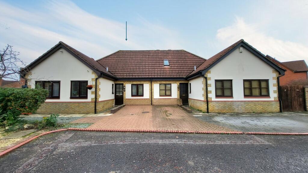
Hythegate
0.14 km away
Baron Court
0.17 km away
Hythegate
0.18 km away
Hythegate: Werrington
0.20 km away
Gildale
0.22 km away
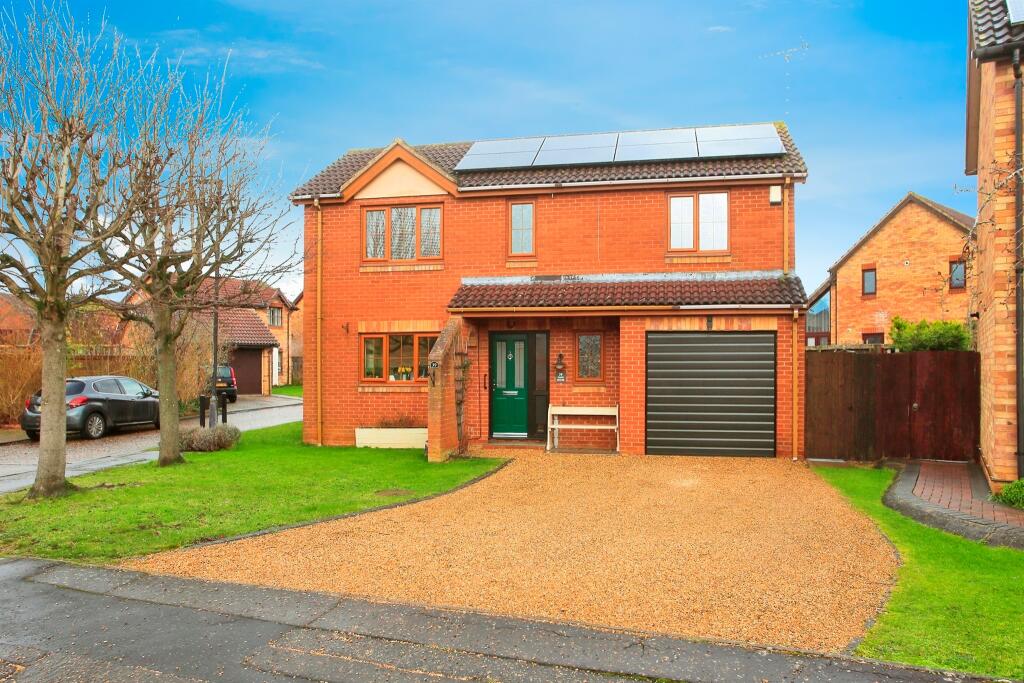
Recently Sold Properties in the Area
| Address | Property Type | Distance | Price | Completed |
|---|---|---|---|---|
|
23 Thornemead Peterborough, PE4 7ZD |
Detached | 74 metres away | £358,000 | 9 months ago |
|
1 Gildale Peterborough, PE4 6QY |
Detached | 0.11 km away | £345,000 | 11 months ago |
|
38 Hythegate Peterborough, PE4 7ZP |
Detached | 0.15 km away | £325,000 | 9 months ago |
|
36 Gildale Peterborough, PE4 6QY |
Detached | 0.17 km away | £360,000 | 10 months ago |
|
43 Hythegate Peterborough, PE4 7ZP |
Terraced | 0.17 km away | £187,000 | 10 months ago |
|
36 Hythegate Peterborough, PE4 7ZP |
Detached | 0.18 km away | £430,000 | 8 months ago |
|
18 Gildale Peterborough, PE4 6QY |
Detached | 0.19 km away | £358,500 | 6 months ago |
|
83 Aster Drive Peterborough, PE4 7RY |
Detached | 0.27 km away | £267,000 | 6 months ago |
|
96 Welbourne Peterborough, PE4 6NQ |
Terraced | 0.34 km away | £252,000 | 9 months ago |
|
23 Ambleside Gardens Peterborough, PE4 7ZY |
Terraced | 0.38 km away | £235,000 | 7 months ago |
Schools
| Name | Type | Postcode | Distance | Rating |
|---|---|---|---|---|
| Welbourne Primary Academy | Primary | PE4 6NR | 0.45 km | Good |
| Werrington Primary School | Primary | PE4 6QG | 0.81 km | Good |
| Gunthorpe Primary School | Primary | PE4 7YP | 0.90 km | Not rated |
| Norwood Primary School | Primary | PE4 7DZ | 0.94 km | Good |
| Ken Stimpson Academy | Secondary, Post 16 | PE4 6JT | 1.01 km | Not rated |
Transport
Train Stations
Details provided by Department for Transport
| Name | Distance |
|---|---|
| Peterborough Rail Station | 4.83 km |
Nearest Motorway
Details provided by Department for Transport
| Name | Distance |
|---|---|
| A1(M) | 10.31 km |
Coverage
- Average Broadband Speed:
-
6mb Basic
-
35mb Superfast
-
1000mb Ultrafast
-
1000mb Overall
- Mobile Coverage:
-
EEOkay
-
O2Good
-
ThreePoor
-
VodafoneOkay
Important Notice - This report is intended for general informational purposes only and should act only as a guide. The report is produced automatically on behalf of Newton Fallowell Stamford - Peterborough by Street Insights, a product of Street Systems Ltd. Street Systems maintains and aggregates data from multiple public data sources and whilst every effort is made to keep information up to date and accurate, we make no representations or warranties of any kind about the accuracy, reliability or completeness of the information contained within this report for any purpose. Any reliance you place on the data contained within this report is strictly at your own risk. In no event will Newton Fallowell Stamford - Peterborough or Street Systems Ltd be liable for any loss or damage including without limitation, indirect or consequential loss or damage, or any loss or damage whatsoever arising from loss of data or profits arising out of, or in connection with, the use of this report.
This report contains public sector information licensed under the Open Government License v3.0
Transaction data and HPI data is produced by HM Land Registry. Crown copyright and database rights 2025