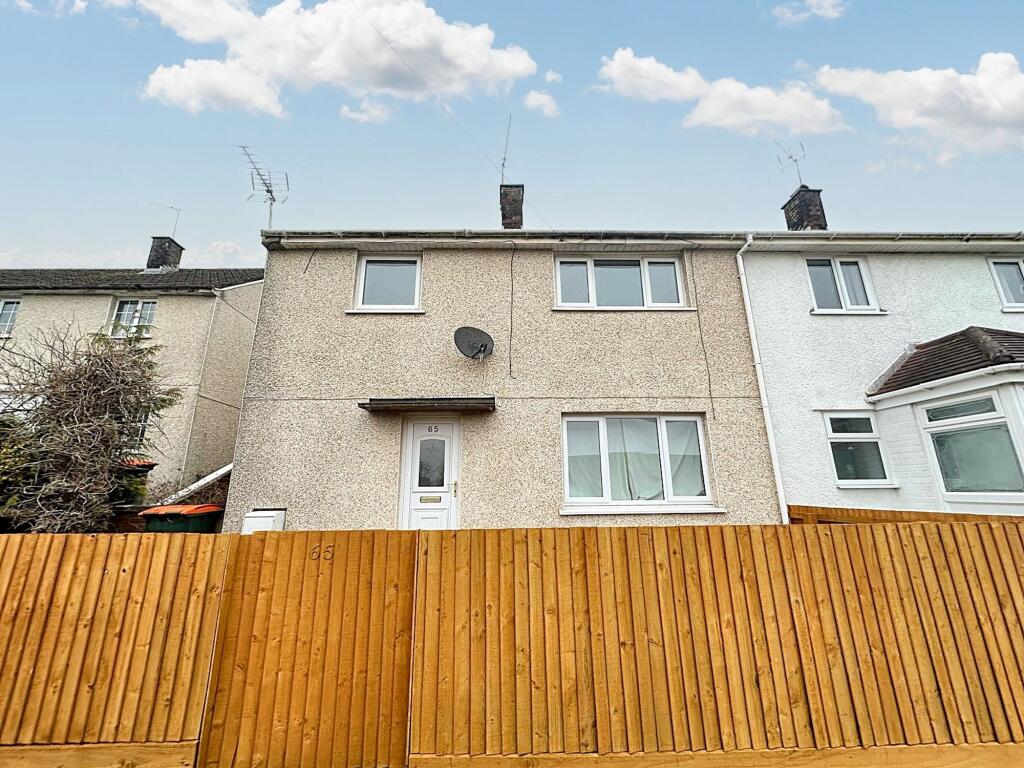
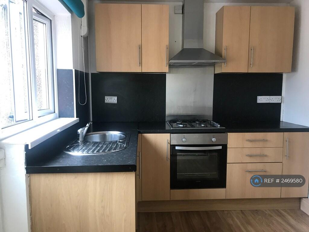
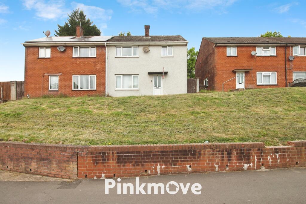
Property Information Report
4 Arne Close
Newport, NP19 9NF
Estimated Rental Value - £1,100 PCM
Last Sold - Apr, 2023

Key Facts
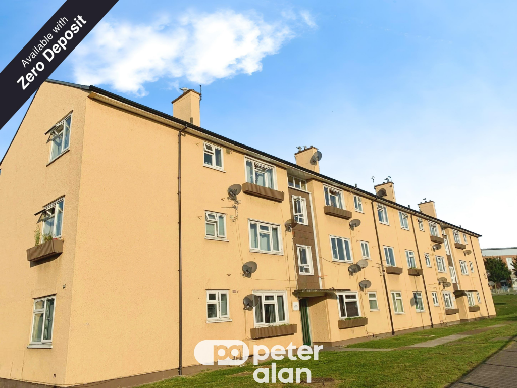
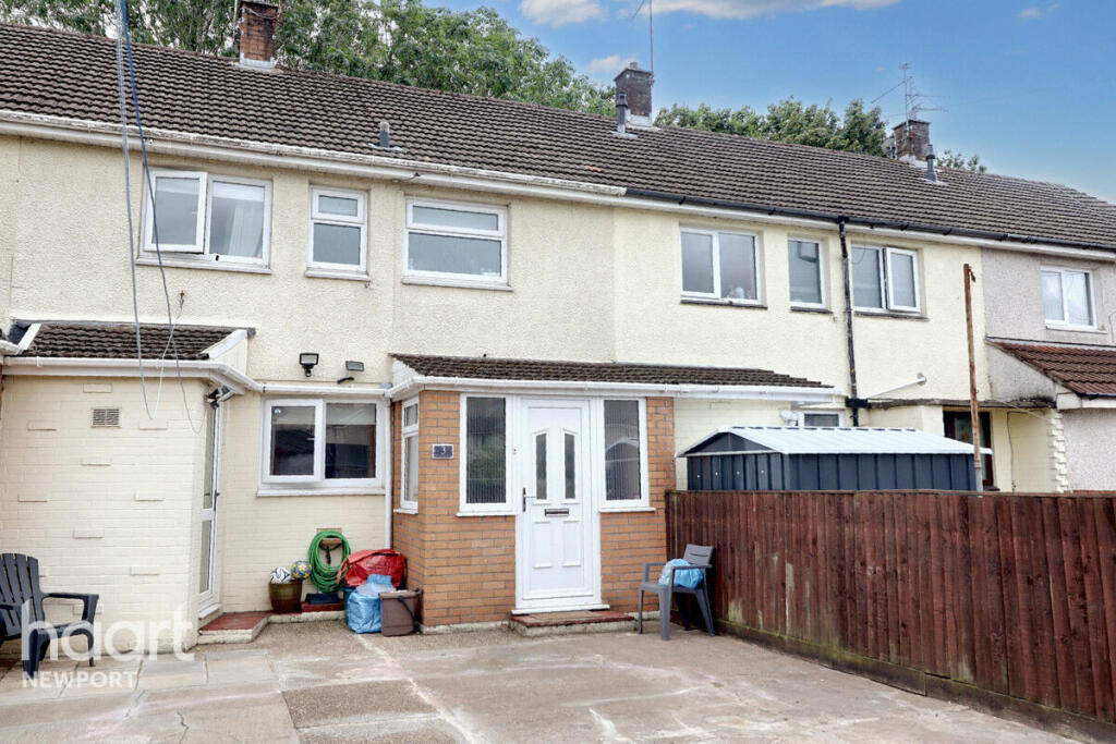
Properties To Let in the Area
Hendre Farm Drive
0.16 km away
Hendre Farm Drive
0.51 km away
Balfe Road
0.59 km away
Chapel Field Way
0.73 km away
Dale Road
0.81 km away
Chepstow Road
0.84 km away
About Us
An Agent for LIfe
Our transformative approach is built on everything we believe estate agency should be. We offer you an Agent for Life: Your trusted advisor whenever you need help with property-related matters because we are known for our genuine care for helping people with their next move.
Find out more at Number One Real Estate
Title Plan
Title Information
Details provided by the Land Registry
- Title Number
- WA82679
- Plot Size
- 0.02 acres (86 sq metres)
Street View
Videos & Virtual Tours
House Prices in Newport
Last 12 months
-
Average Price Change
£11,466
Increased by 5%
-
Terraced Price Change
£9,880
Increased by 6%
Average House Prices
Last 12 months for all property types.
Since Last Sale - 21st April 2023
-
Average Price Change
£9,231
Increased by 4%
-
Terraced Price Change
£9,416
Increased by 5%
Average House Prices
Since last sale in 2023 for all property types
EPC

EPC Information
Details taken from the EPC register
- Date
- 2022-06-28
- Valid Until
- 2032-06-27
- Energy Efficiency - Current
- 71
- Energy Efficiency - Potential
- 87
- Environmental Impact - Current
- 68
- Environmental Impact - Potential
- 86
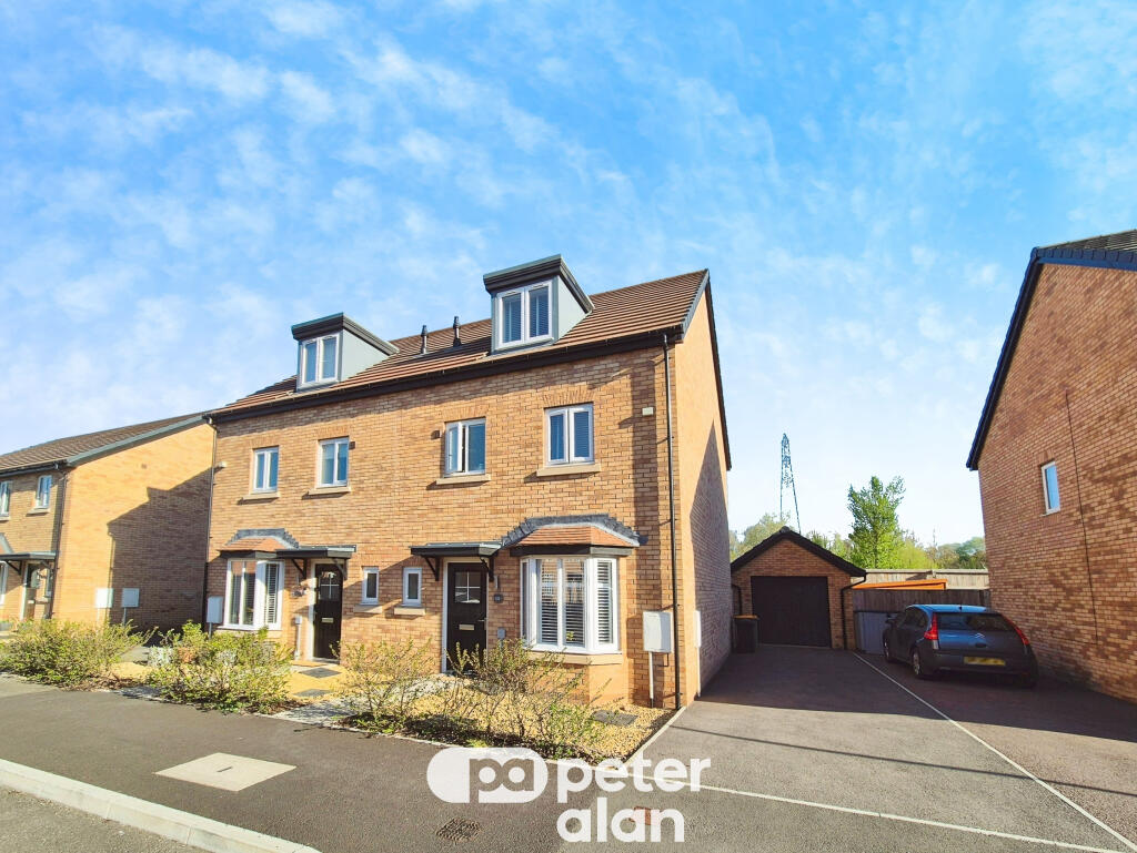
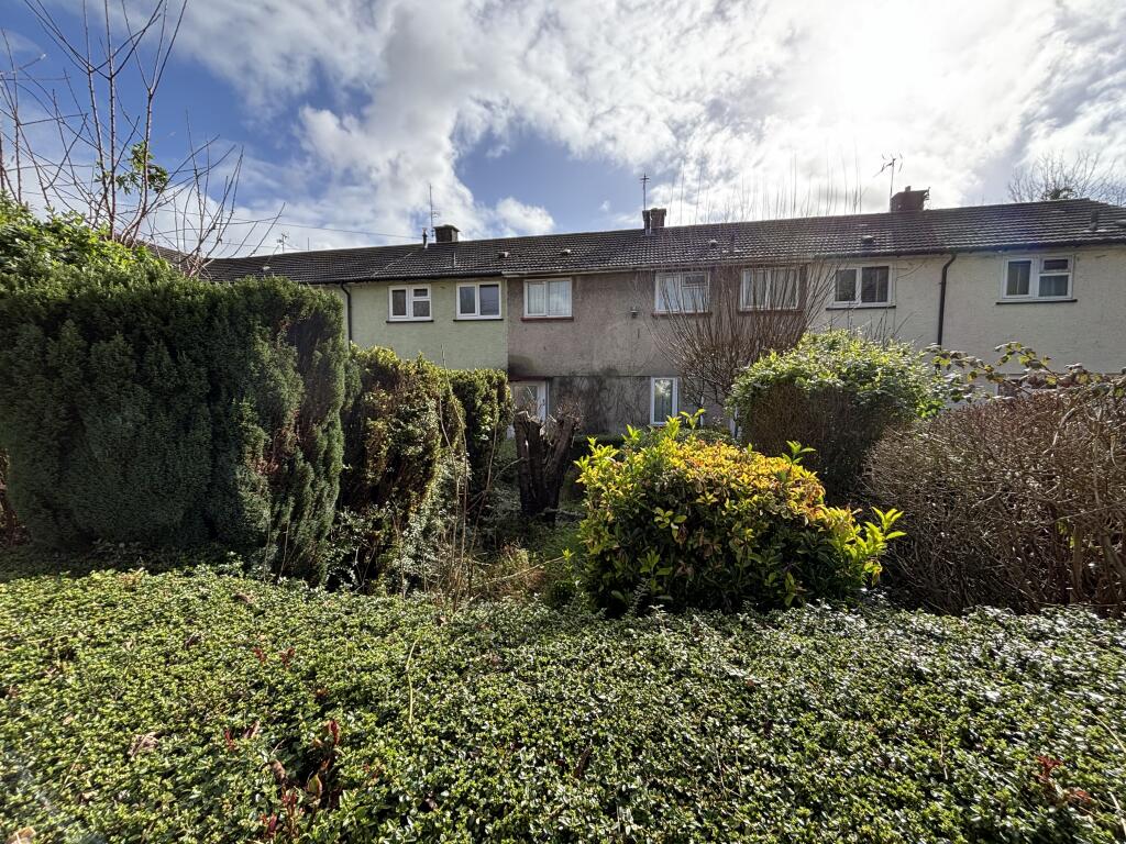
Properties For Sale in the Area
Novello Walk
84 metres away
Dunstable Road
0.11 km away
Hendre Farm Drive
0.22 km away
Eric Coates Walk
0.25 km away
Ringland Circle
0.28 km away
Dunstable Road
0.32 km away
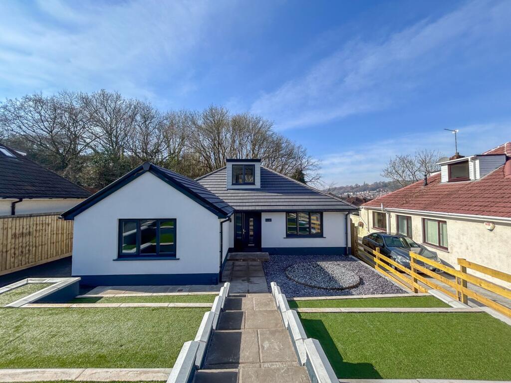
Recently Sold Properties in the Area
| Address | Property Type | Distance | Price | Completed |
|---|---|---|---|---|
|
91 Dunstable Road Newport, NP19 9LU |
Semi-Detached | 0.11 km away | £130,000 | 10 months ago |
|
93 Dunstable Road Newport, NP19 9LU |
Semi-Detached | 0.11 km away | £185,000 | 2 months ago |
|
86 Dunstable Road Newport, NP19 9LU |
Terraced | 0.14 km away | £142,500 | 8 months ago |
|
2 John Field Walk Newport, NP19 9PE |
Terraced | 0.22 km away | £180,000 | 8 months ago |
|
46 Sullivan Circle Newport, NP19 9PB |
Terraced | 0.24 km away | £120,000 | 11 months ago |
|
3 Eric Coates Walk Newport, NP19 9PD |
Terraced | 0.25 km away | £156,000 | 3 months ago |
|
24 Dunstable Road Newport, NP19 9NE |
Detached | 0.27 km away | £240,000 | 10 months ago |
|
89 Ringland Circle Newport, NP19 9PG |
Terraced | 0.31 km away | £125,000 | 5 months ago |
|
16 Dunstable Road Newport, NP19 9NE |
Terraced | 0.32 km away | £160,000 | 11 months ago |
|
12 Farnaby Close Newport, NP19 9PN |
Detached | 0.38 km away | £253,000 | 10 months ago |
Schools
| Name | Type | Postcode | Distance | Rating |
|---|---|---|---|---|
| Ringland Primary | Nursery, Primary | NP19 9LU | 93 metres | Not rated |
| Ysgol Gymraeg Casnewydd | Nursery, Primary | NP18 2LN | 0.36 km | Not rated |
| Llanwern High School | Secondary, Post 16 | NP18 2YE | 0.42 km | Not rated |
| St. Gabriel's R.C. | Primary | NP19 9PQ | 0.49 km | Not rated |
| Glan Llyn Primary School | Nursery, Primary | NP19 4EB | 1.07 km | Not rated |
Transport
Bus Stops & Stations
Details provided by Department for Transport
| Name | Distance |
|---|---|
| Bantock Close | 44 metres |
| Ringland Way | 0.12 km |
| Stanford Road | 0.23 km |
| Llanwern High School, Hartridge Farm Road | 0.27 km |
| Penkin Hill South, Aberthaw Road | 0.37 km |
Train Stations
Details provided by Department for Transport
| Name | Distance |
|---|---|
| Newport (S Wales) Rail Station | 4.22 km |
Nearest Motorway
Details provided by Department for Transport
| Name | Distance |
|---|---|
| M4 | 1.81 km |
Coverage
- Average Broadband Speed:
-
7mb Basic
-
51mb Superfast
-
1800mb Ultrafast
-
1800mb Overall
- Mobile Coverage:
-
EEOkay
-
O2Good
-
ThreeGood
-
VodafoneOkay
Important Notice - This report is intended for general informational purposes only and should act only as a guide. The report is produced automatically on behalf of Number One Real Estate - Kaite by Street Insights, a product of Street Systems Ltd. Street Systems maintains and aggregates data from multiple public data sources and whilst every effort is made to keep information up to date and accurate, we make no representations or warranties of any kind about the accuracy, reliability or completeness of the information contained within this report for any purpose. Any reliance you place on the data contained within this report is strictly at your own risk. In no event will Number One Real Estate - Kaite or Street Systems Ltd be liable for any loss or damage including without limitation, indirect or consequential loss or damage, or any loss or damage whatsoever arising from loss of data or profits arising out of, or in connection with, the use of this report.
This report contains public sector information licensed under the Open Government License v3.0
Transaction data and HPI data is produced by HM Land Registry. Crown copyright and database rights 2025