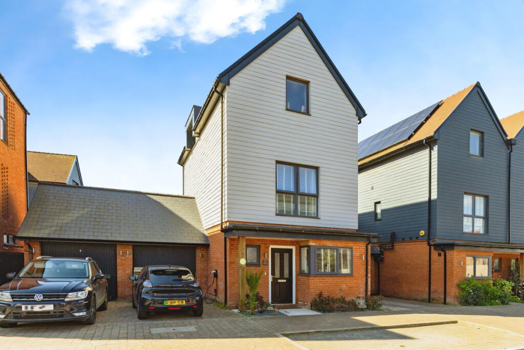
Buyer Information Report
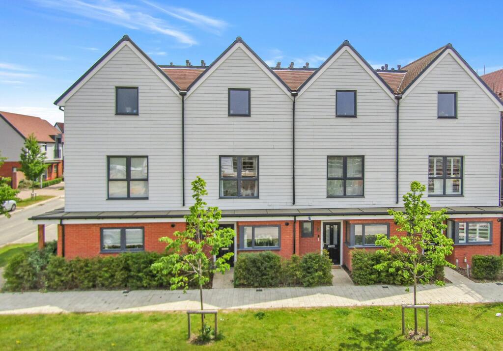
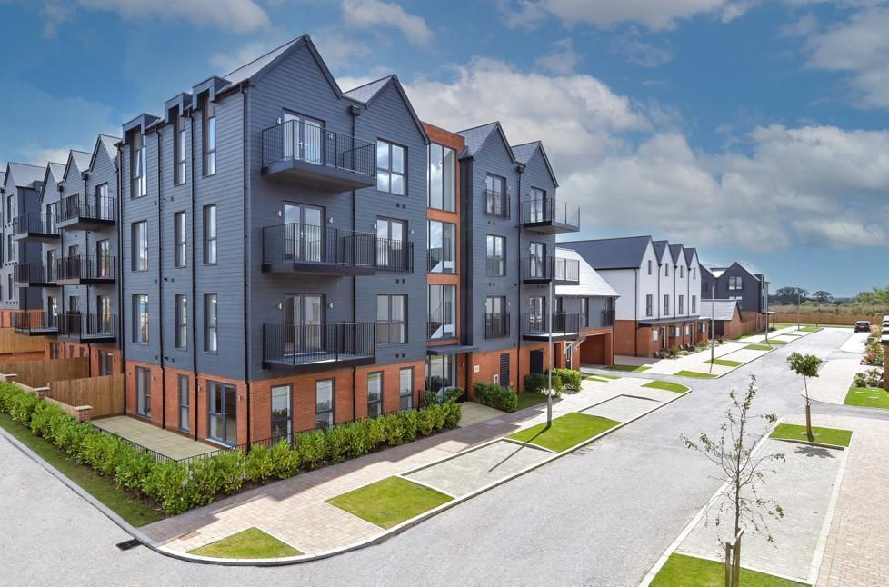
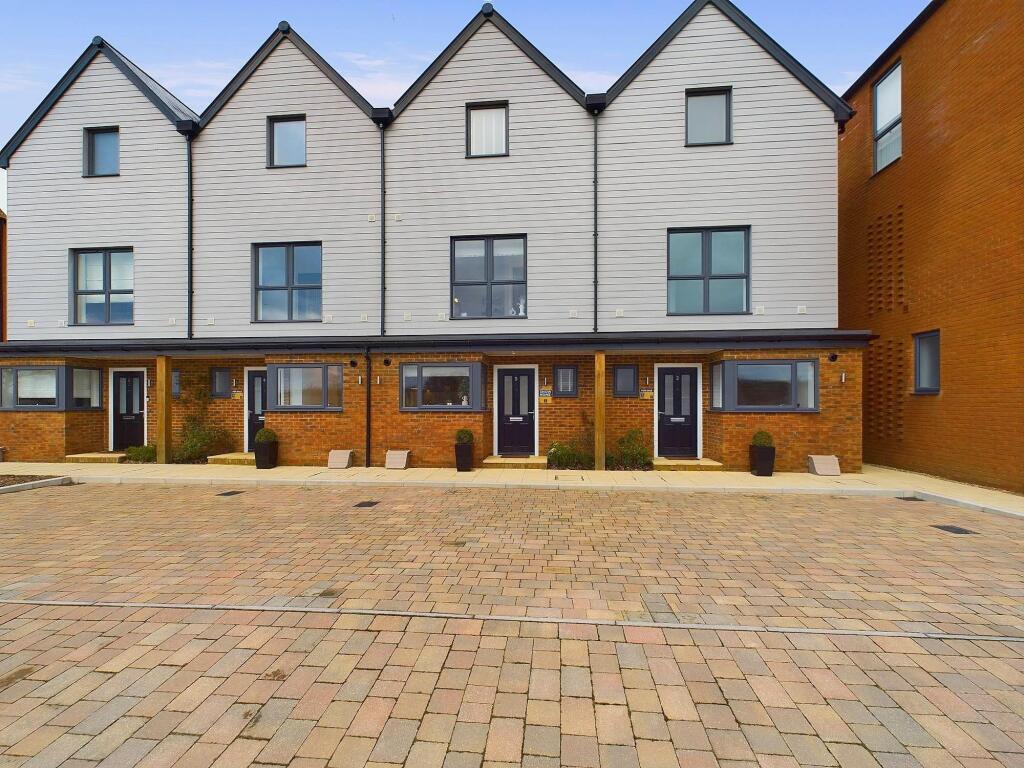
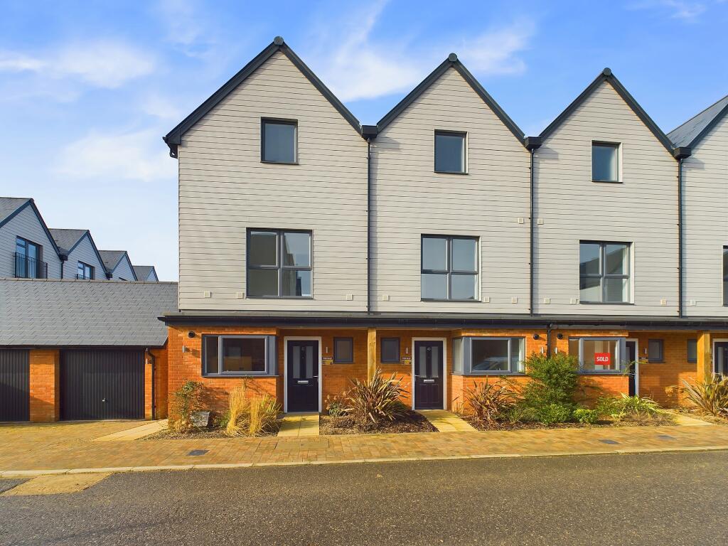
Chilmington Avenue
Chilmington Green, Ashford, TN23
Estimated Value - £390,000
Estimated Rental Value - £1,500 PCM
Last Sold - Aug, 2021

Key Facts
Title Plan
 Contains OS data © Crown copyright 2025
Title Information
Details provided by the Land Registry
- Title Number
- TT132400
- Plot Size
- 0.03 acres (135 sq metres)
Street View
House Prices in Ashford
Last 12 months
-
Average Price Change
£1,752
Increased by 1%
-
Terraced Price Change
£2,997
Increased by 1%
Average House Prices
Last 12 months for all property types.
Since Last Sale - 27th August 2021
-
Average Price Change
£26,271
Increased by 8%
-
Terraced Price Change
£21,665
Increased by 8%
Average House Prices
Since last sale in 2021 for all property types
EPC

EPC Information
Details taken from the EPC register
- Date
- 2021-04-23
- Valid Until
- 2031-04-22
- Energy Efficiency - Current
- 86
- Energy Efficiency - Potential
- 95
- Environmental Impact - Current
- 87
- Environmental Impact - Potential
- 96
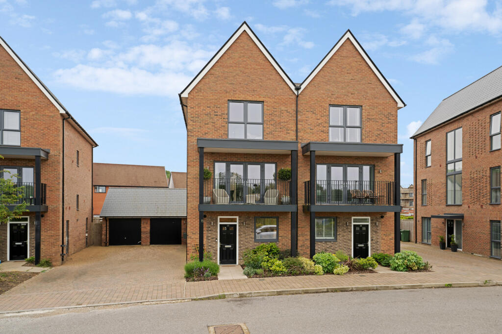
Properties For Sale in the Area
Chilmington Avenue
40 metres away
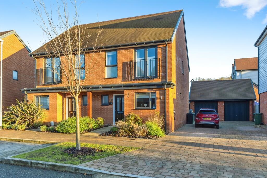
Chilmington Crescent
97 metres away
Woodland Rise
0.11 km away
Woodland Rise
0.11 km away
Highwood Drive
0.21 km away
Highwood Drive
0.21 km away
Properties To Let in the Area
Woodland Rise
0.11 km away
Highwood Drive
0.21 km away

Highwood Drive
0.21 km away
Highwood Drive
0.29 km away
Hollycroft
0.29 km away
Hollycroft
0.29 km away
Schools
| Name | Type | Postcode | Distance | Rating |
|---|---|---|---|---|
| Chilmington Green Primary School | Nursery, Primary | TN23 3DS | 0.59 km | Good |
| Great Chart Primary School | Primary | TN23 5LB | 1.18 km | Outstanding |
| The John Wesley Church of England Methodist Voluntary Aided Primary School | Primary | TN23 5LW | 1.20 km | Good |
| The Wyvern School (Buxford) | Special, Nursery | TN23 4ER | 1.78 km | Good |
| Beaver Green Primary School | Nursery, Primary | TN23 5DA | 1.82 km | Good |
Transport
Bus Stops & Stations
Details provided by Department for Transport
| Name | Distance |
|---|---|
| New Street Farm, Ashford Road | 0.63 km |
| Garton Way | 0.67 km |
| Church, Ashford Road | 0.70 km |
| Holt Close | 0.86 km |
| Bradbridge Green, Singleton Hill | 0.98 km |
Train Stations
Details provided by Department for Transport
| Name | Distance |
|---|---|
| Ashford International Rail Station | 3.64 km |
Nearest Motorway
Details provided by Department for Transport
| Name | Distance |
|---|---|
| M20 | 4.11 km |
Coverage
- Average Broadband Speed:
-
22mb Basic
-
1800mb Ultrafast
-
1800mb Overall
- Mobile Coverage:
-
EEOkay
-
O2Good
-
ThreePoor
-
VodafoneOkay
Recently Sold Properties in the Area
| Address | Property Type | Distance | Price | Completed |
|---|---|---|---|---|
|
7 Woodland Rise Chilmington Green, Ashford, TN23 8AR |
Semi-Detached | 73 metres away | £375,000 | 6 months ago |
|
45 Highwood Drive Chilmington Green, Ashford, TN23 8AA |
Terraced | 0.22 km away | £465,000 | 5 months ago |
|
16 Highwood Drive Chilmington Green, Ashford, TN23 8AA |
Semi-Detached | 0.22 km away | £560,000 | 10 months ago |
|
30 Highwood Drive Chilmington Green, Ashford, TN23 8AA |
Detached | 0.23 km away | £470,000 | 11 months ago |
|
57 Highwood Drive Chilmington Green, Ashford, TN23 8AA |
Semi-Detached | 0.24 km away | £350,000 | 6 months ago |
|
7 Oakwood Mews Chilmington Green, Ashford, TN23 8AZ |
Terraced | 0.24 km away | £439,950 | 8 months ago |
|
2 Hays Mews Chilmington Green, Ashford, TN23 8AY |
Detached | 0.25 km away | £460,000 | 11 months ago |
|
3 Lakeview Gardens Chilmington Green, Ashford, TN23 8AW |
Semi-Detached | 0.29 km away | £405,000 | 5 months ago |
|
The Piggery, Ashford Road Great Chart, Ashford, TN23 3DH |
Detached | 0.35 km away | £640,000 | 6 months ago |
|
106 Tunbridge Way Ashford, TN23 5HW |
Terraced | 0.50 km away | £307,500 | 9 months ago |
Important Notice - This report is intended for general informational purposes only and should act only as a guide. The report is produced automatically on behalf of Andrew & Co Estate Agents Ltd - Ashford by Street Insights, a product of Street Systems Ltd. Street Systems maintains and aggregates data from multiple public data sources and whilst every effort is made to keep information up to date and accurate, we make no representations or warranties of any kind about the accuracy, reliability or completeness of the information contained within this report for any purpose. Any reliance you place on the data contained within this report is strictly at your own risk. In no event will Andrew & Co Estate Agents Ltd - Ashford or Street Systems Ltd be liable for any loss or damage including without limitation, indirect or consequential loss or damage, or any loss or damage whatsoever arising from loss of data or profits arising out of, or in connection with, the use of this report.
This report contains public sector information licensed under the Open Government License v3.0
Transaction data and HPI data is produced by HM Land Registry. Crown copyright and database rights 2025