Property Information Report
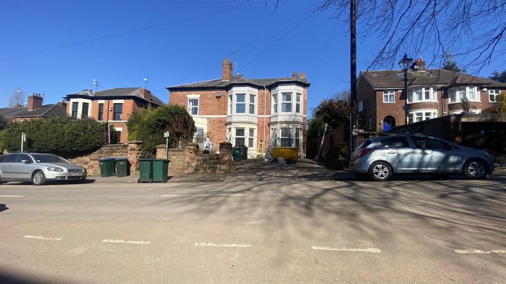
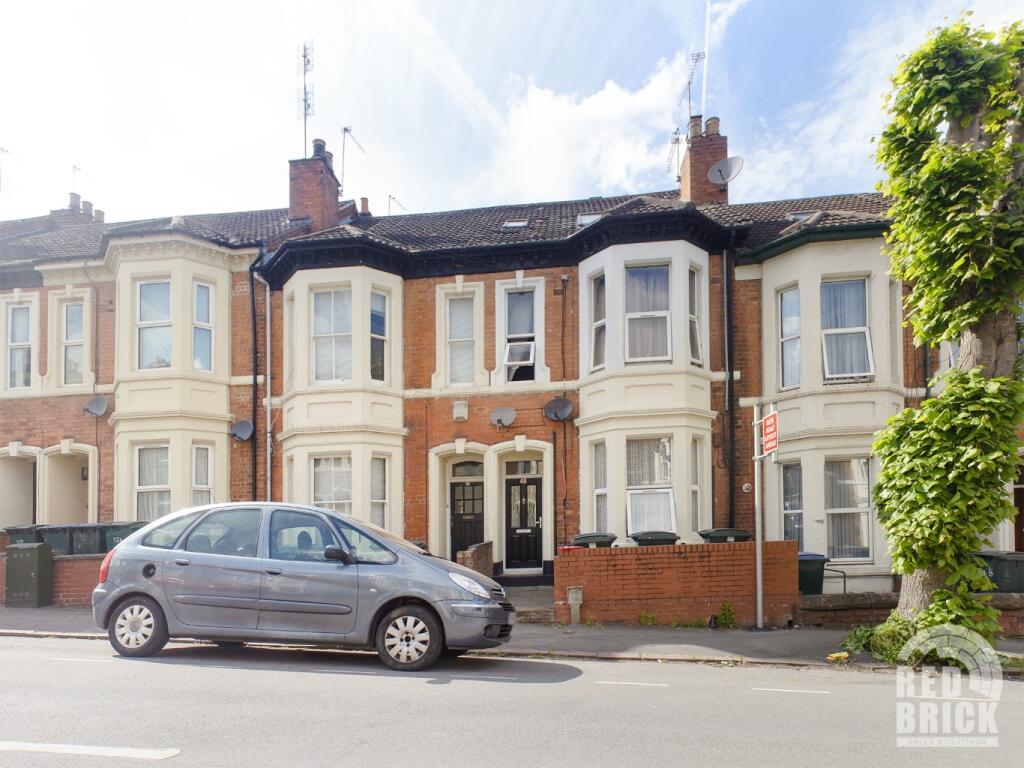
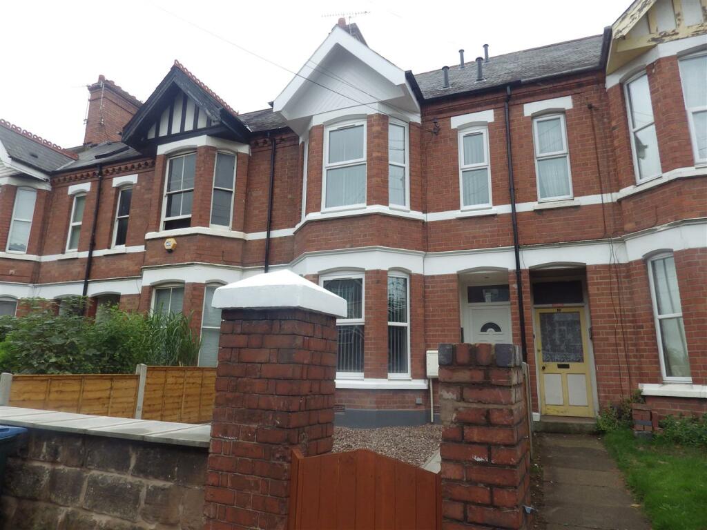
Middleborough Road
Coventry, CV1
Last Sold - Dec, 2019


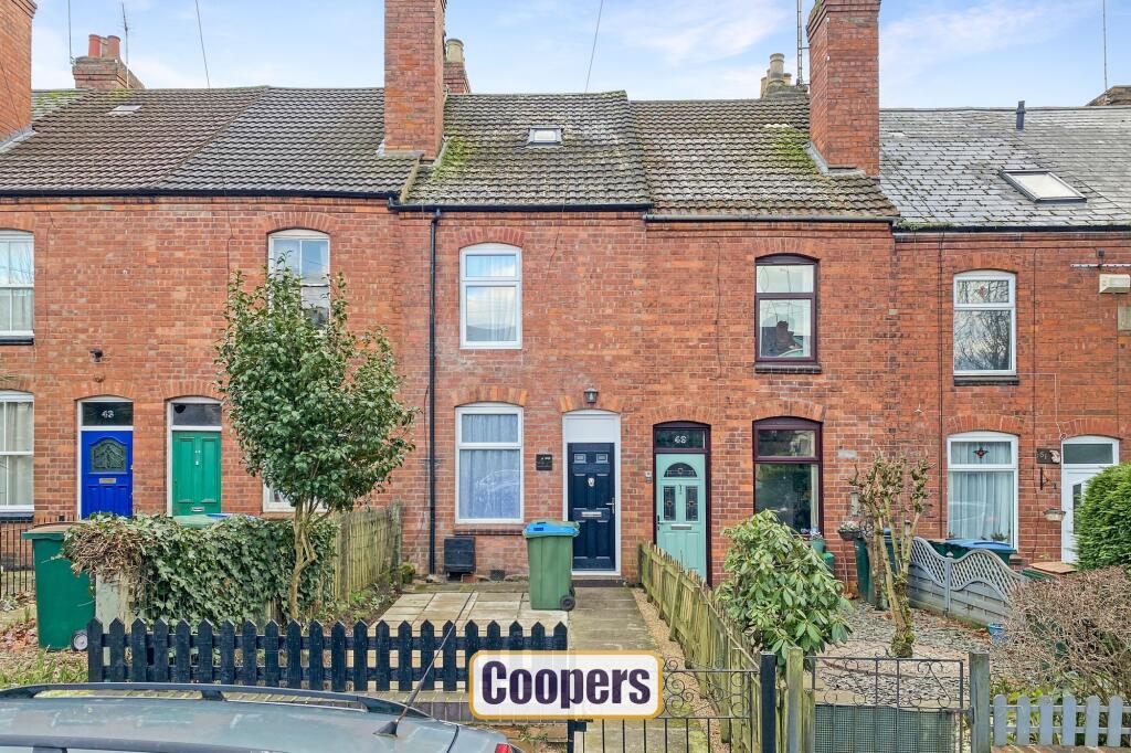
Description
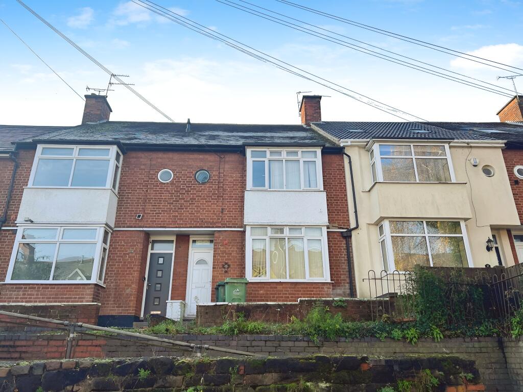
Located close to Coventry city centre, Nauls Mill Park, and the Alvis Retail Park, this three-bedroom terraced home provides a convenient lifestyle across three levels.
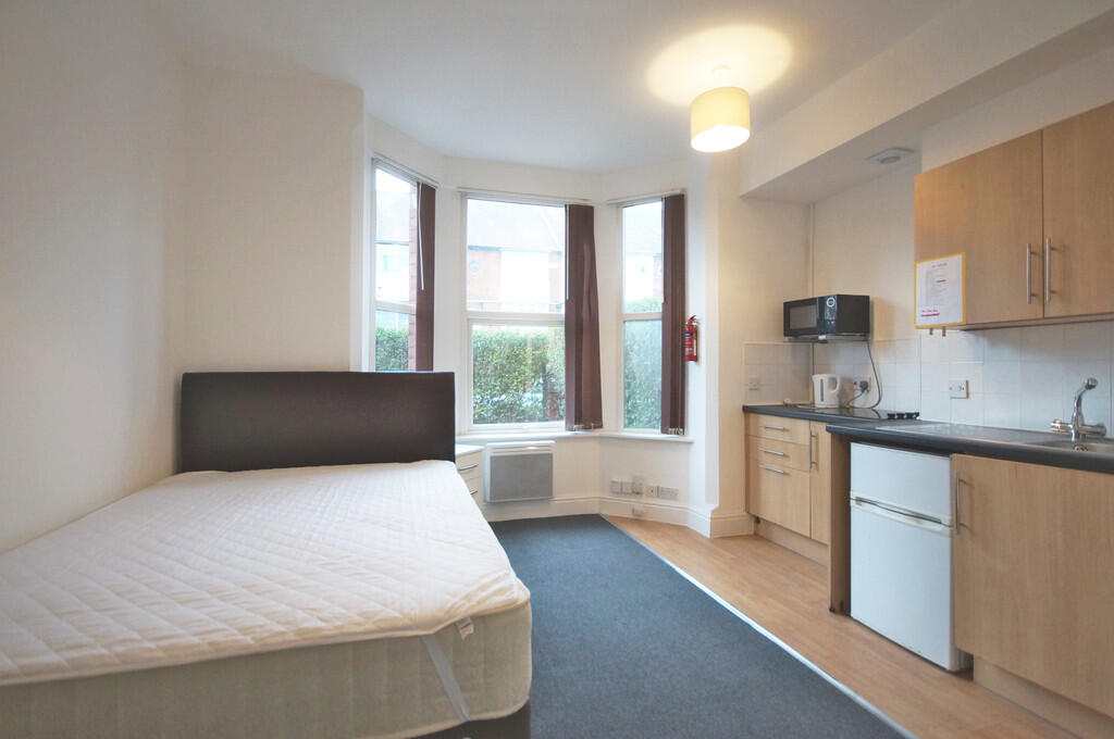
The ground floor comprises two reception rooms, a front-facing lounge and a rear dining room, which lead through to the kitchen, a rear lobby, and the bathroom. The middle floor features two double bedrooms, offering ample sleeping space.
On the top floor is a third bedroom, added by a previous owner, along with a washroom created using a stud wall, complete with a chemical toilet. These additions provide flexibility for additional use but may appeal to those looking to personalize the space further.
Outside, the landscaped garden is a standout feature, with a patio area near the house and a winding path that leads to the garden’s far end. The garden’s thoughtful design offers both functionality and charm.
Key Facts
Title Plan
 Contains OS data © Crown copyright 2025
Title Information
Details provided by the Land Registry
- Title Number
- WM39230
- Plot Size
- 0.03 acres (138 sq metres)
Street View
House Prices in Coventry
Last 12 months
-
Average Price Change
£13,178
Increased by 6%
-
Terraced Price Change
£11,916
Increased by 6%
Average House Prices
Last 12 months for all property types.
Since - February 2020
-
Average Price Change
£45,827
Increased by 25%
-
Terraced Price Change
£43,605
Increased by 26%
Average House Prices
Since 2020 for all property types
EPC

EPC Information
Details taken from the EPC register
- Date
- 2020-09-02
- Valid Until
- 2030-09-01
- Energy Efficiency - Current
- 60
- Energy Efficiency - Potential
- 84
- Environmental Impact - Current
- 53
- Environmental Impact - Potential
- 81
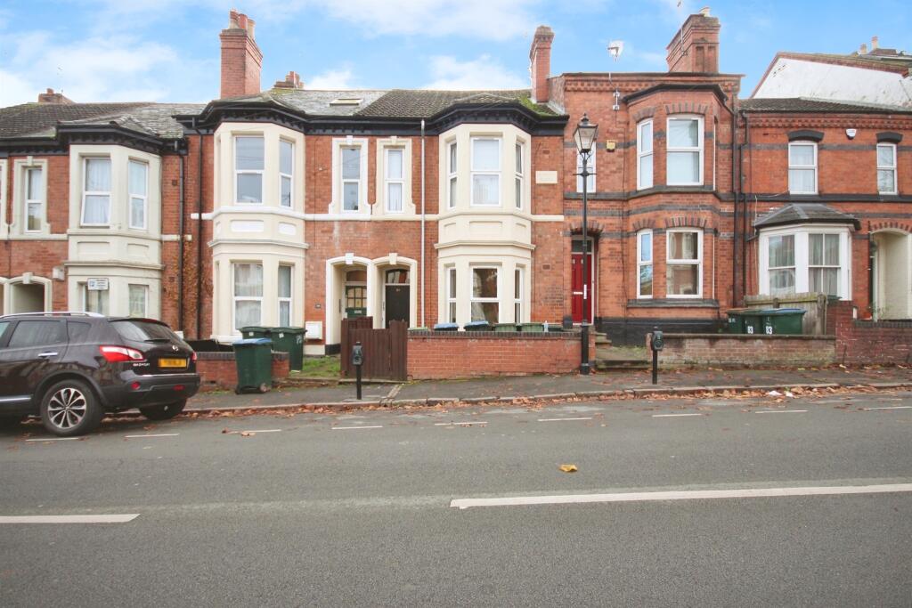
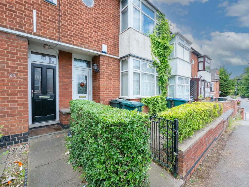
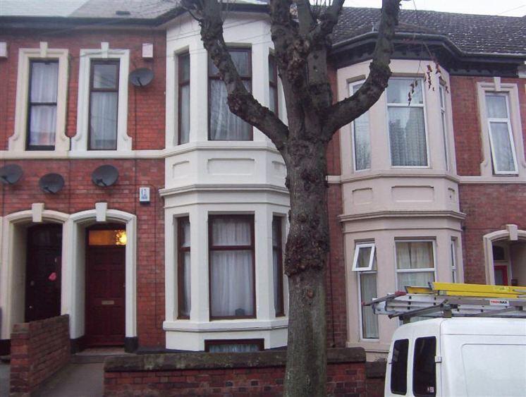
Properties For Sale in the Area
Middleborough Road
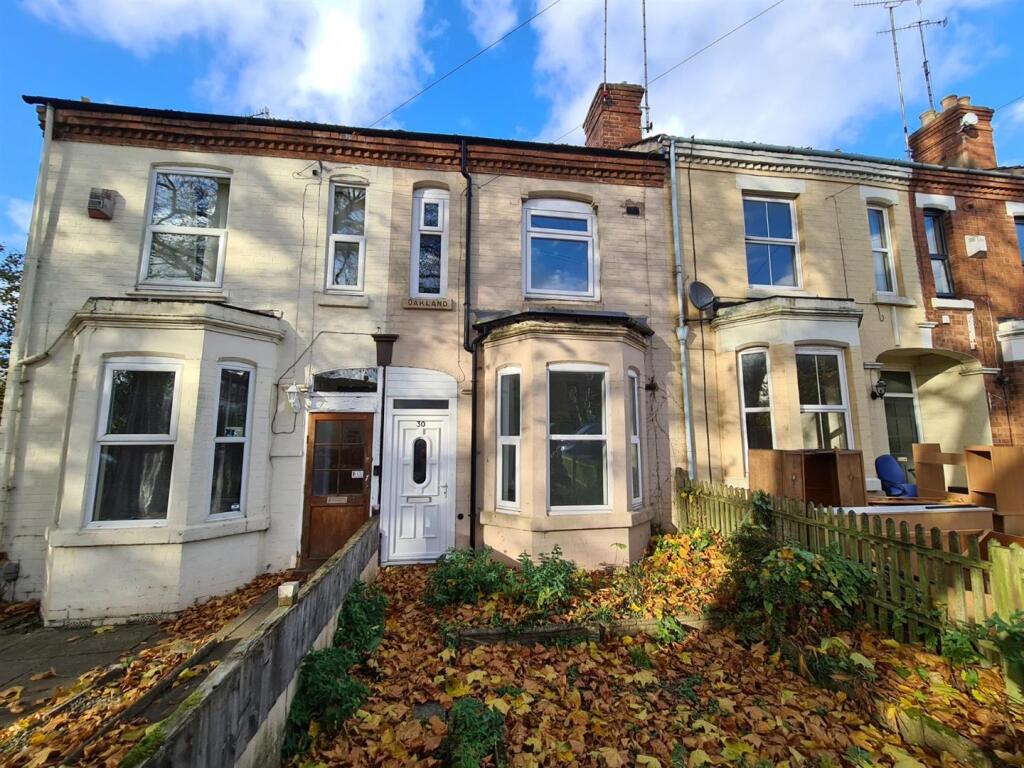
Middleborough Road
43 metres away
Middleborough Road
0.11 km away
Coundon Road
0.23 km away
15 Coundon Road
0.24 km away
Coundon Road
0.24 km away
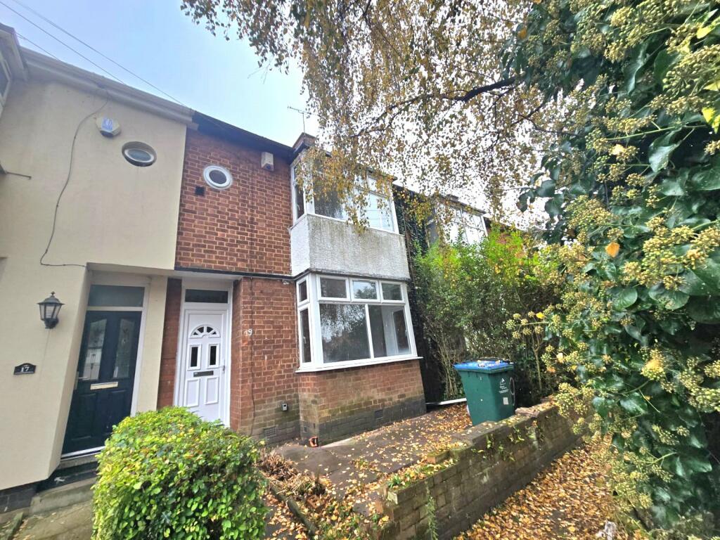
Properties To Let in the Area
Middleborough Road
44 metres away
Middleborough Road
81 metres away
Middleborough Road
85 metres away
Middleborough Road
0.16 km away
Coundon Road
0.19 km away
Coundon Road
0.19 km away
Schools
| Name | Type | Postcode | Distance | Rating |
|---|---|---|---|---|
| St Osburg's Catholic Primary School | Nursery, Primary | CV1 4AP | 0.20 km | Good |
| Bablake Junior and Pre-prep School | Independent, Nursery, Primary | CV1 4AU | 0.20 km | Not rated |
| Barr's Hill School | Secondary, Post 16 | CV1 4BU | 0.30 km | Outstanding |
| Bablake School | Independent, Nursery, Primary, Post 16 | CV1 4AU | 0.36 km | Not rated |
| Spon Gate Primary School | Nursery, Primary | CV1 3BQ | 0.58 km | Good |
Transport
Train Stations
Details provided by Department for Transport
| Name | Distance |
|---|---|
| Coventry Rail Station | 1.34 km |
| Canley Rail Station | 2.54 km |
| Coventry Arena Rail Station | 4.21 km |
Nearest Motorway
Details provided by Department for Transport
| Name | Distance |
|---|---|
| M6 | 5.83 km |
Coverage
- Average Broadband Speed:
-
14mb Basic
-
1000mb Ultrafast
-
1000mb Overall
- Mobile Coverage:
-
EEOkay
-
O2Good
-
ThreeGood
-
VodafoneGood
Recently Sold Properties in the Area
| Address | Property Type | Distance | Price | Completed |
|---|---|---|---|---|
|
50 Middleborough Road Coventry, CV1 4DE |
Terraced | 0.16 km away | £150,000 | 6 months ago |
|
6 Coundon Street Coventry, CV1 4AS |
Terraced | 0.19 km away | £270,000 | 7 months ago |
|
3 Coundon Road Coventry, CV1 4AR |
Terraced | 0.23 km away | £133,000 | 6 months ago |
|
1 Collett Walk Coventry, CV1 4PT |
Terraced | 0.33 km away | £157,000 | 4 months ago |
|
Flat 1, Waterside, St. Nicholas Street Coventry, CV1 4LZ |
Flats/Maisonettes | 0.35 km away | £92,000 | 8 months ago |
|
Flat 20, Elmwood Court, St. Nicholas Street Coventry, CV1 4BS |
Flats/Maisonettes | 0.36 km away | £135,000 | 9 months ago |
|
42 Hawksworth Drive Coventry, CV1 4PX |
Terraced | 0.37 km away | £201,500 | 6 months ago |
|
79 Holyhead Road Coventry, CV1 3AA |
Terraced | 0.37 km away | £350,000 | 6 months ago |
|
Apartment 20, Mandara Point, Drapers Fields Coventry, CV1 4AF |
Flats/Maisonettes | 0.38 km away | £110,000 | 8 months ago |
|
Flat 35, Elmwood Court, St. Nicholas Street Coventry, CV1 4BS |
Flats/Maisonettes | 0.39 km away | £130,000 | 5 months ago |
Important Notice - This report is intended for general informational purposes only and should act only as a guide. The report is produced automatically on behalf of Coopers Estate Agents - Coventry by Street Insights, a product of Street Systems Ltd. Street Systems maintains and aggregates data from multiple public data sources and whilst every effort is made to keep information up to date and accurate, we make no representations or warranties of any kind about the accuracy, reliability or completeness of the information contained within this report for any purpose. Any reliance you place on the data contained within this report is strictly at your own risk. In no event will Coopers Estate Agents - Coventry or Street Systems Ltd be liable for any loss or damage including without limitation, indirect or consequential loss or damage, or any loss or damage whatsoever arising from loss of data or profits arising out of, or in connection with, the use of this report.
This report contains public sector information licensed under the Open Government License v3.0
Transaction data and HPI data is produced by HM Land Registry. Crown copyright and database rights 2025