Property Information Report
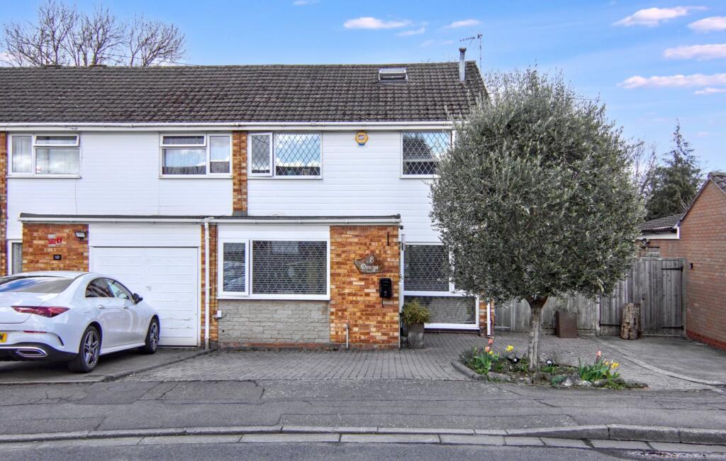
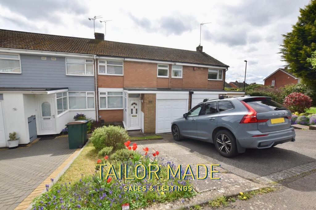
Trossachs Road
Coventry, CV5
Last Sold - Oct, 2001

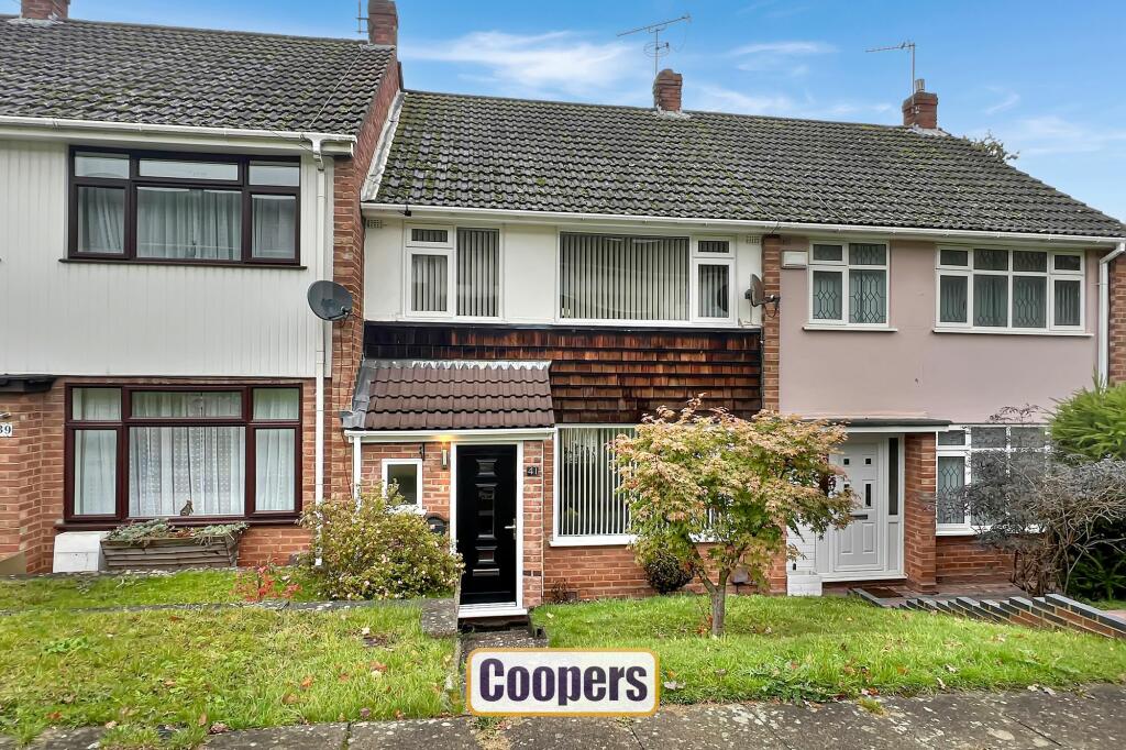
Description
A very pleasant three bedroom family home with the benefit of an enlarged hallway and enlarged rear kitchen. Within a very popular area, this house is offered for sale with no upward chain and must be viewed. L shaped living room, dining area open plan to enlarged kitchen. Gas central heating and double glazing. Garage at rear.
Key Facts
Title Plan
 Contains OS data © Crown copyright 2025
Title Information
Details provided by the Land Registry
- Title Number
- WM757269
- Plot Size
- 0.05 acres (190 sq metres)
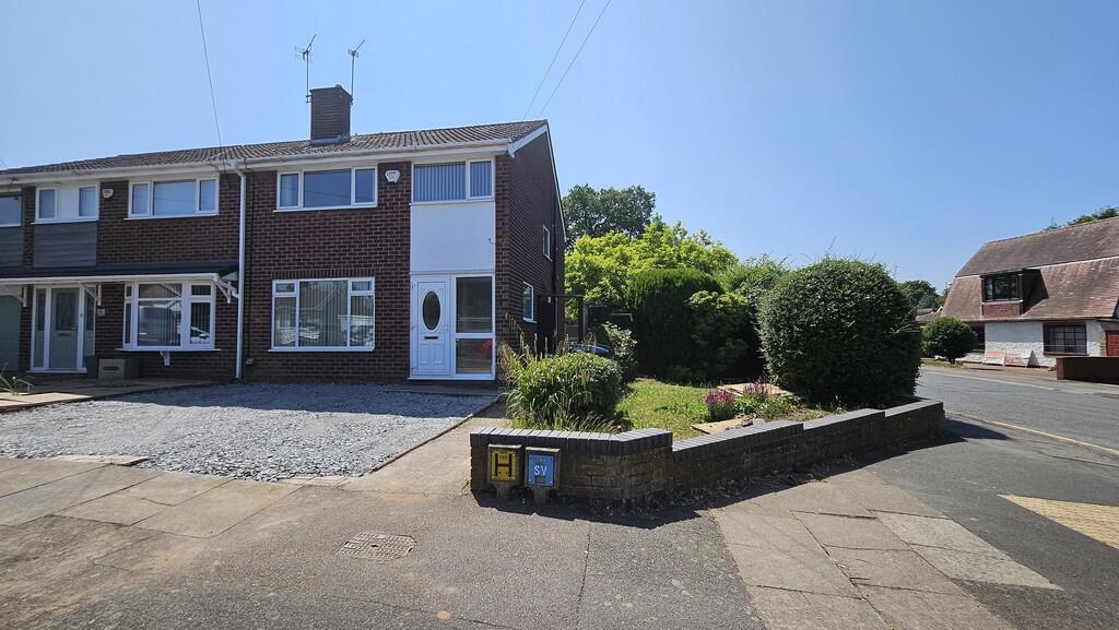
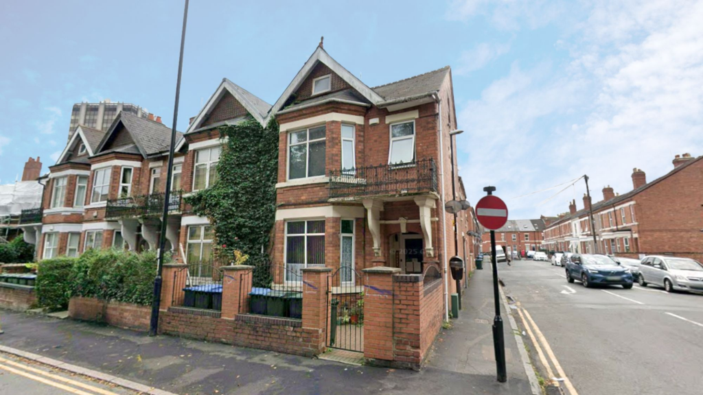
Street View
House Prices in Coventry
Last 12 months
-
Average Price Change
£13,169
Increased by 6%
-
Terraced Price Change
£11,309
Increased by 6%
Average House Prices
Last 12 months for all property types.
Since - April 2020
-
Average Price Change
£42,873
Increased by 24%
-
Terraced Price Change
£40,114
Increased by 24%
Average House Prices
Since 2020 for all property types
EPC

EPC Information
Details taken from the EPC register
- Date
- 2024-10-10
- Valid Until
- 2034-10-09
- Energy Efficiency - Current
- 41
- Energy Efficiency - Potential
- 83
- Environmental Impact - Current
- 36
- Environmental Impact - Potential
- 82
Properties For Sale in the Area
Trossachs Road
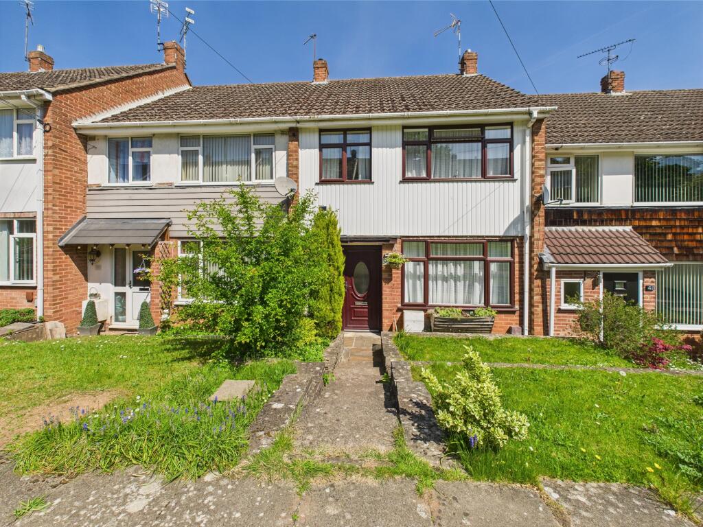
Trossachs Road
5 metres away
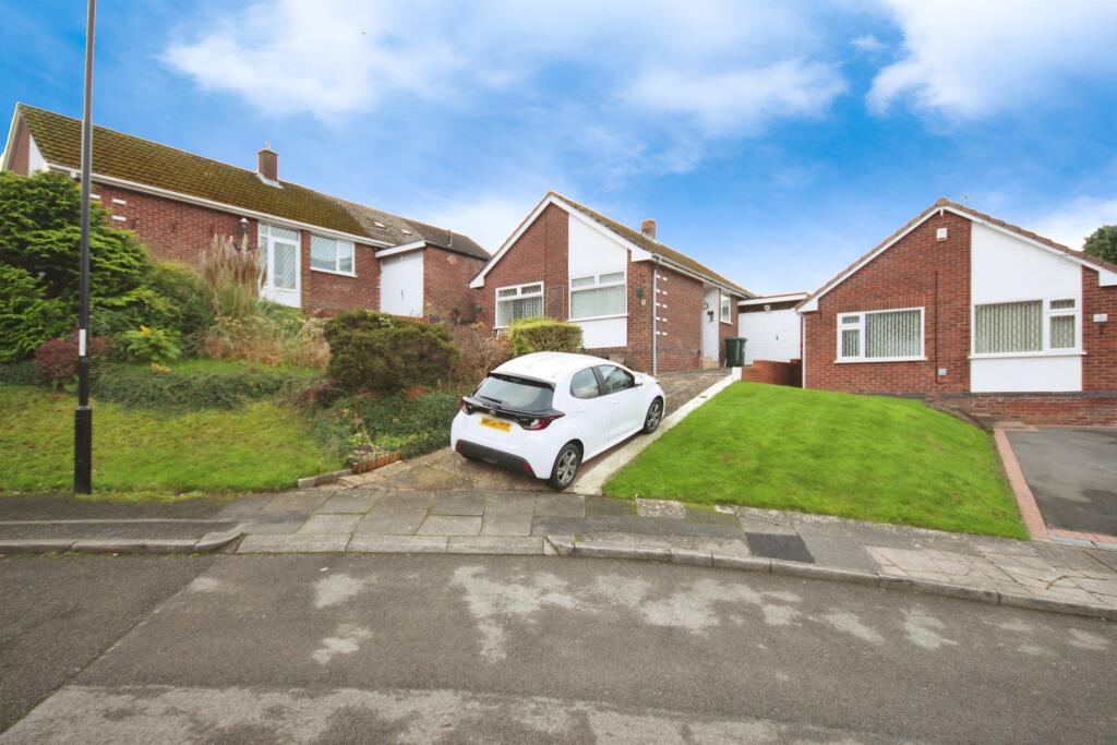
Sundorne Close
100 metres away
Troutbeck Road
0.12 km away
Troutbeck Road
0.17 km away
Eastern Green Road
0.17 km away
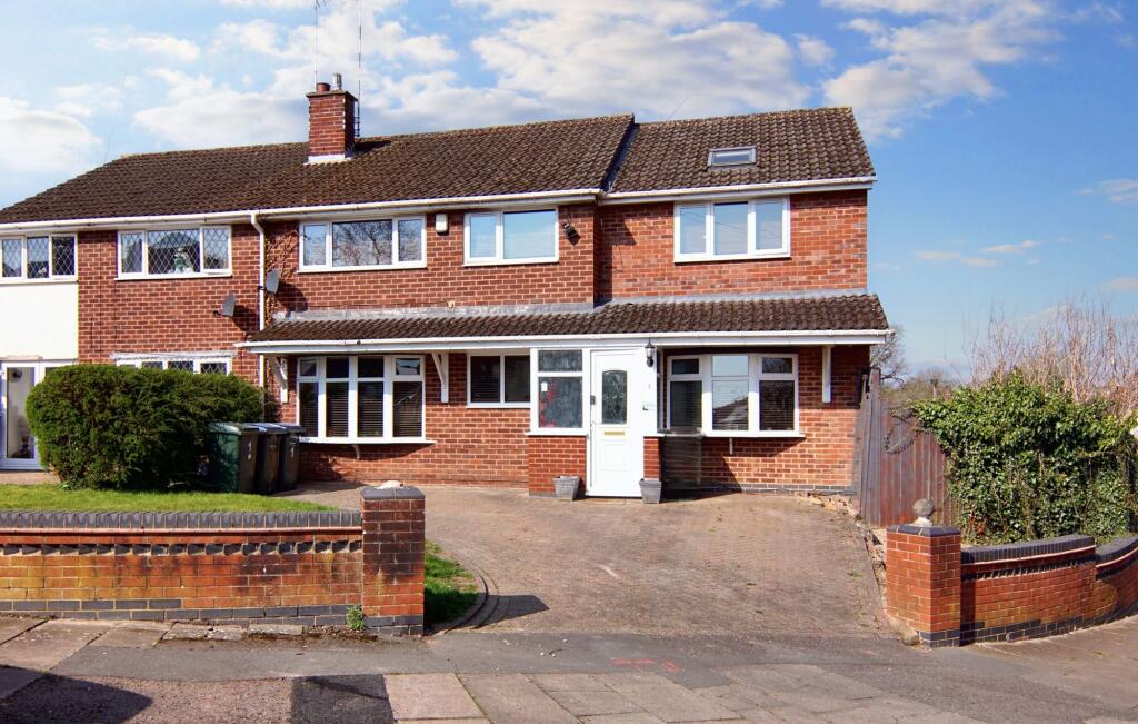
Properties To Let in the Area
Forest Court
0.22 km away
Tudor Avenue
0.23 km away
4 Albany Road
0.28 km away
Unicorn Lane
0.28 km away
Alderminster Road
0.31 km away
Handsworth Crescent
0.36 km away
Schools
| Name | Type | Postcode | Distance | Rating |
|---|---|---|---|---|
| Mount Nod Primary School | Nursery, Primary | CV5 7BG | 0.17 km | Good |
| Park Hill Primary School | Nursery, Primary | CV5 7LR | 0.31 km | Good |
| Limbrick Wood Primary School | Nursery, Primary | CV4 9QT | 0.39 km | Good |
| Limbrick Wood Primary School | Nursery, Primary | CV4 9QT | 0.43 km | Not rated |
| St John Vianney Catholic Primary School | Nursery, Primary | CV5 7GX | 0.85 km | Good |
Transport
Train Stations
Details provided by Department for Transport
| Name | Distance |
|---|---|
| Canley Rail Station | 2.46 km |
| Tile Hill Rail Station | 2.48 km |
| Coventry Rail Station | 4.44 km |
| Berkswell Rail Station | 4.95 km |
Nearest Motorway
Details provided by Department for Transport
| Name | Distance |
|---|---|
| M6 | 7.83 km |
Coverage
- Average Broadband Speed:
-
6mb Basic
-
40mb Superfast
-
1800mb Ultrafast
-
1800mb Overall
- Mobile Coverage:
-
EEOkay
-
O2Good
-
ThreeOkay
-
VodafoneOkay
Recently Sold Properties in the Area
| Address | Property Type | Distance | Price | Completed |
|---|---|---|---|---|
|
52 Tudor Avenue Coventry, CV5 7BD |
Semi-Detached | 66 metres away | £225,000 | 8 months ago |
|
2 Tredington Road Coventry, CV5 7BN |
Semi-Detached | 76 metres away | £275,000 | 3 months ago |
|
8 Trossachs Road Coventry, CV5 7BJ |
Terraced | 0.13 km away | £290,000 | 5 months ago |
|
24 Greenleaf Close Coventry, CV5 7BG |
Terraced | 0.16 km away | £254,000 | 3 months ago |
|
34a, Eastern Green Road Coventry, CV5 7LH |
Semi-Detached | 0.17 km away | £345,000 | 5 months ago |
|
36 Eastern Green Road Coventry, CV5 7LH |
Detached | 0.17 km away | £680,000 | 11 months ago |
|
17 Greenleaf Close Coventry, CV5 7BG |
Detached | 0.18 km away | £320,000 | 6 months ago |
|
4 Lyng Close Coventry, CV5 7JZ |
Semi-Detached | 0.19 km away | £262,000 | 3 months ago |
|
21 Greenleaf Close Coventry, CV5 7BG |
Detached | 0.20 km away | £383,000 | 6 months ago |
|
33 Greenleaf Close Coventry, CV5 7BG |
Detached | 0.21 km away | £362,500 | 3 months ago |
Important Notice - This report is intended for general informational purposes only and should act only as a guide. The report is produced automatically on behalf of Coopers Estate Agents - Coventry by Street Insights, a product of Street Systems Ltd. Street Systems maintains and aggregates data from multiple public data sources and whilst every effort is made to keep information up to date and accurate, we make no representations or warranties of any kind about the accuracy, reliability or completeness of the information contained within this report for any purpose. Any reliance you place on the data contained within this report is strictly at your own risk. In no event will Coopers Estate Agents - Coventry or Street Systems Ltd be liable for any loss or damage including without limitation, indirect or consequential loss or damage, or any loss or damage whatsoever arising from loss of data or profits arising out of, or in connection with, the use of this report.
This report contains public sector information licensed under the Open Government License v3.0
Transaction data and HPI data is produced by HM Land Registry. Crown copyright and database rights 2025