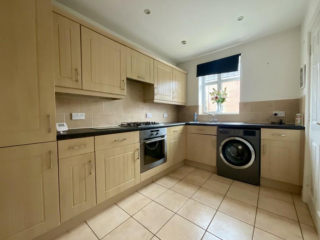
Property Information Report
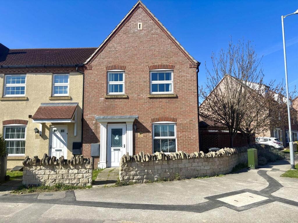
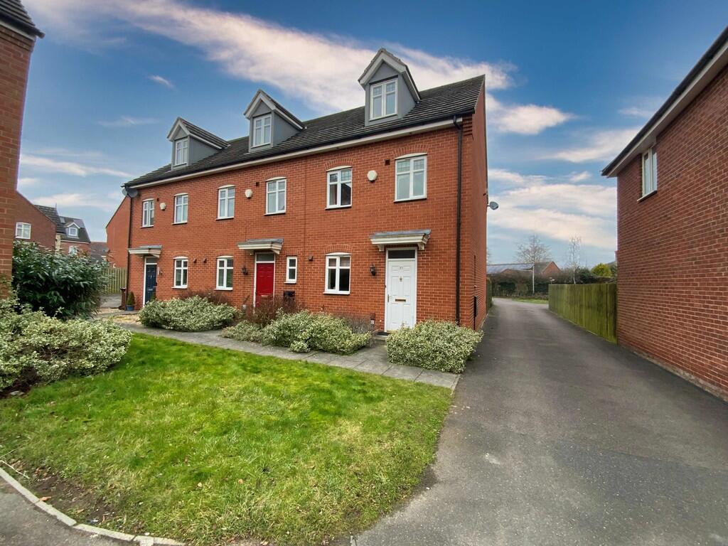
53 Bobbin Lane
Lincoln, LN2 4ZB
Last Sold - Oct, 2024
Key Facts
Title Plan
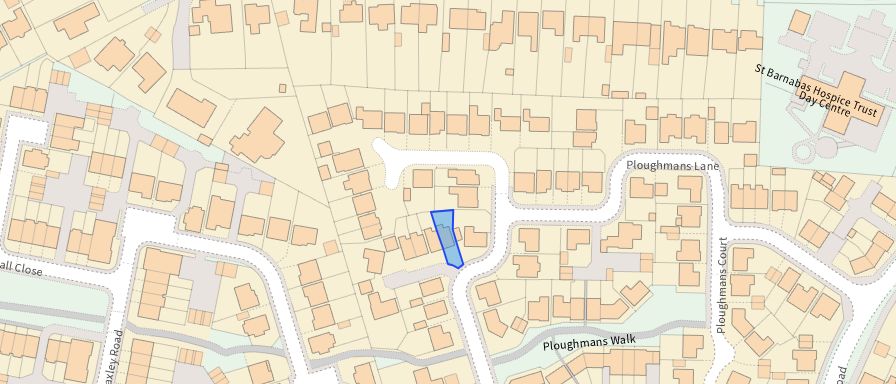 Contains OS data © Crown copyright 2025
Title Information
Details provided by the Land Registry
- Title Number
- LL334909
- Plot Size
- 0.04 acres (177 sq metres)
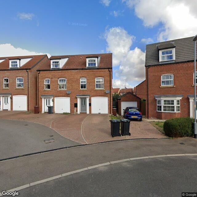
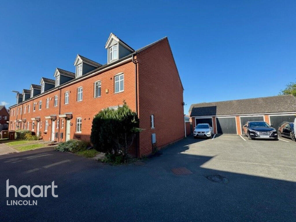
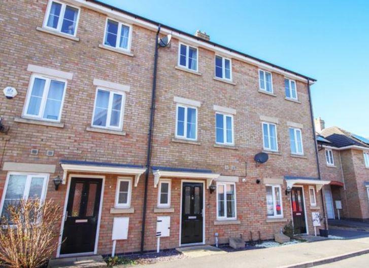
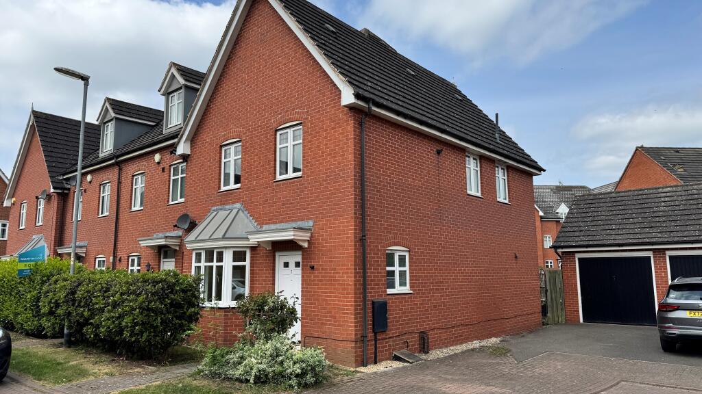
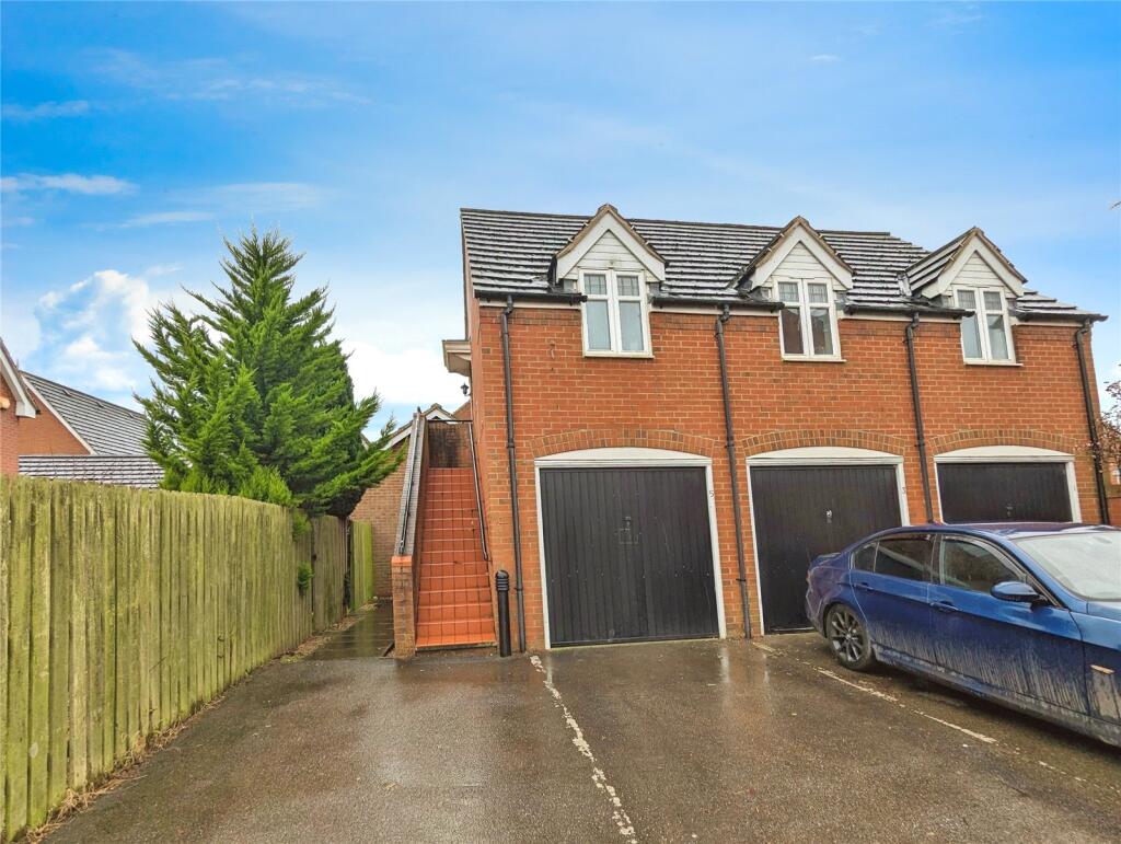
Street View
House Prices in Lincoln
Last 12 months
-
Average Price Change
£4,585
Increased by 3%
-
Semi-Detached Price Change
£6,139
Increased by 3%
Average House Prices
Last 12 months for all property types.
Since Last Sale - 18th October 2024
-
Average Price Change
£33,412
Increased by 22%
-
Semi-Detached Price Change
£38,405
Increased by 23%
Average House Prices
Since 2020 for all property types
EPC
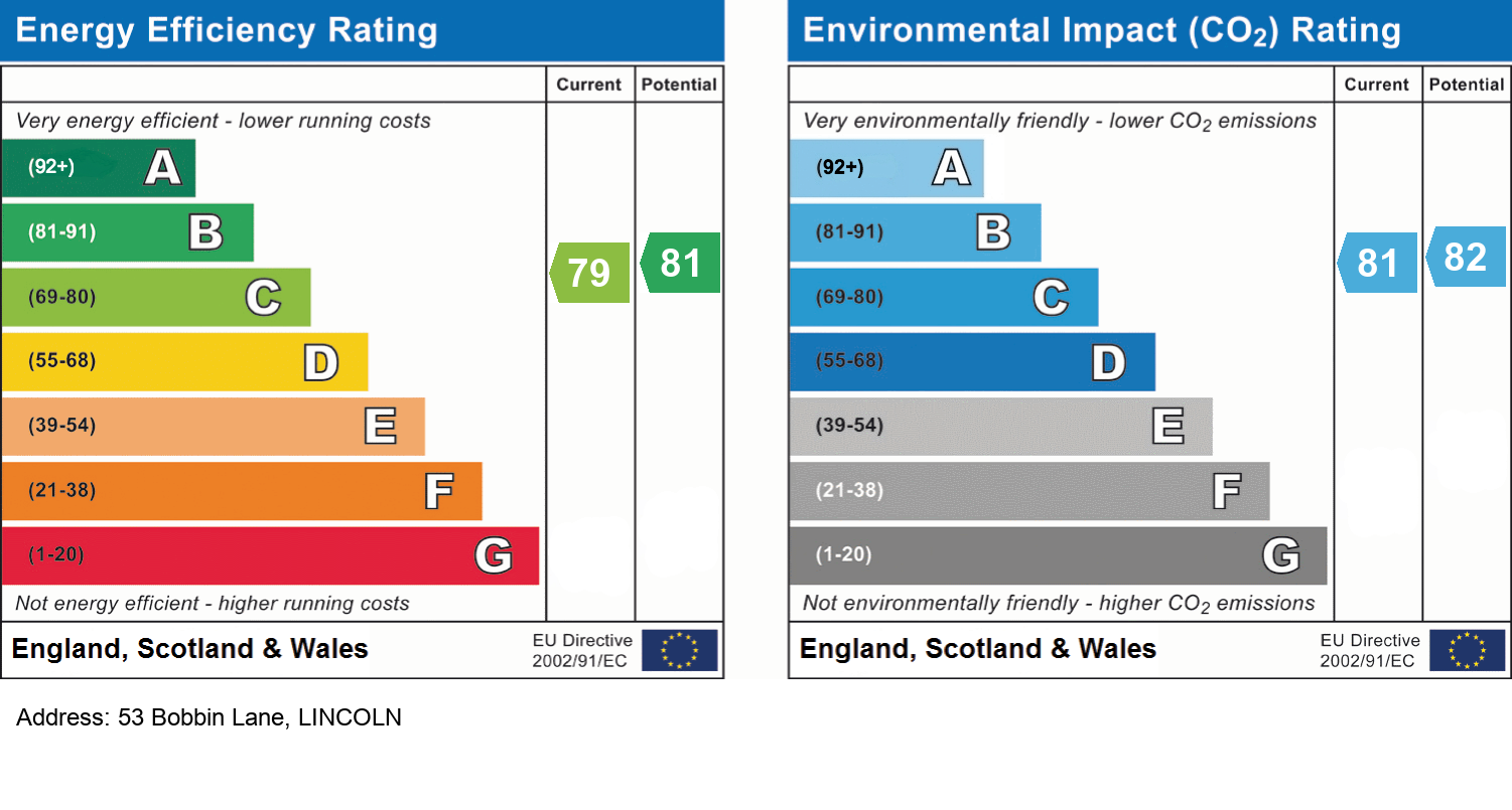
EPC Information
Details taken from the EPC register
- Date
- 2024-06-03
- Valid Until
- 2034-06-02
- Energy Efficiency - Current
- 77
- Energy Efficiency - Potential
- 88
- Environmental Impact - Current
- 76
- Environmental Impact - Potential
- 87
Properties For Sale in the Area
Ploughmans Lane
73 metres away
Bobbin Lane
76 metres away
2 Ploughmans Walk
80 metres away
Ploughmans Lane
0.11 km away
Hawthorn Road
0.11 km away
Flaxley Road
0.15 km away
Properties To Let in the Area
Byland Close
0.13 km away
Byland Close
0.14 km away
Gabriel Crescent
0.14 km away
Gabriel Crescent
0.15 km away
Byland Close
0.15 km away
Flaxley Road
0.16 km away
Schools
| Name | Type | Postcode | Distance | Rating |
|---|---|---|---|---|
| Lincoln Carlton Academy | Primary | LN2 4AG | 0.55 km | Outstanding |
| The Lincoln St Giles Nursery School | Nursery, Primary | LN2 4LQ | 1.34 km | Outstanding |
| St Giles Academy | Primary | LN2 4LQ | 1.34 km | Not rated |
| Springwell Alternative Academy Lincoln | Primary | LN2 4EL | 1.48 km | Good |
| Lincoln Christ's Hospital School | Secondary, Post 16 | LN2 4PN | 1.67 km | Good |
Transport
Bus Stops & Stations
Details provided by Department for Transport
| Name | Distance |
|---|---|
| Hawthorn Chase, Hawthorn Road | 0.11 km |
| Stockings Way | 0.19 km |
| Blackfriars Road | 0.21 km |
| St Barnabas Hospice, Hawthorn Road | 0.22 km |
| Hawthorn Road | 0.29 km |
Train Stations
Details provided by Department for Transport
| Name | Distance |
|---|---|
| Lincoln Central Rail Station | 3.41 km |
Coverage
- Average Broadband Speed:
-
5mb Basic
-
48mb Superfast
-
1800mb Ultrafast
-
1800mb Overall
- Mobile Coverage:
-
EEOkay
-
O2Good
-
ThreeOkay
-
VodafoneOkay
Recently Sold Properties in the Area
| Address | Property Type | Distance | Price | Completed |
|---|---|---|---|---|
|
53 Bobbin Lane Lincoln, LN2 4ZB |
Semi-Detached | away | £242,500 | 9 months ago |
|
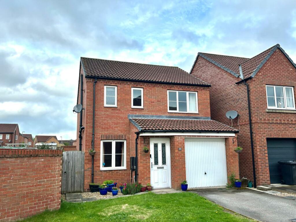
28 Ploughmans Lane Lincoln, LN2 4FY |
Detached | 73 metres away | £233,000 | 5 months ago |
|
15 Ploughmans Court Lincoln, LN2 4FP |
Detached | 0.13 km away | £250,000 | 8 months ago |
|
12 Ploughmans Court Lincoln, LN2 4FP |
Detached | 0.13 km away | £385,000 | 5 months ago |
|
18 Gabriel Crescent Lincoln, LN2 4ZD |
Terraced | 0.15 km away | £208,000 | 9 months ago |
|
2 Byland Close Lincoln, LN2 4GH |
Terraced | 0.17 km away | £234,000 | 7 months ago |
|
2 Gabriel Crescent Lincoln, LN2 4ZD |
Other | 0.17 km away | £240,000 | 11 months ago |
|
8 Flaxley Close Lincoln, LN2 4GJ |
Terraced | 0.19 km away | £240,000 | 9 months ago |
|
7 Hawthorn Chase Lincoln, LN2 4RF |
Flats/Maisonettes | 0.20 km away | £119,000 | 6 months ago |
|
22 Kirkstall Close Lincoln, LN2 4GN |
Flats/Maisonettes | 0.22 km away | £115,000 | 8 months ago |
Important Notice - This report is intended for general informational purposes only and should act only as a guide. The report is produced automatically on behalf of Lovelle - Lincoln & Market Rasen - Lincoln by Street Insights, a product of Street Systems Ltd. Street Systems maintains and aggregates data from multiple public data sources and whilst every effort is made to keep information up to date and accurate, we make no representations or warranties of any kind about the accuracy, reliability or completeness of the information contained within this report for any purpose. Any reliance you place on the data contained within this report is strictly at your own risk. In no event will Lovelle - Lincoln & Market Rasen - Lincoln or Street Systems Ltd be liable for any loss or damage including without limitation, indirect or consequential loss or damage, or any loss or damage whatsoever arising from loss of data or profits arising out of, or in connection with, the use of this report.
This report contains public sector information licensed under the Open Government License v3.0
Transaction data and HPI data is produced by HM Land Registry. Crown copyright and database rights 2025