Property Information Report

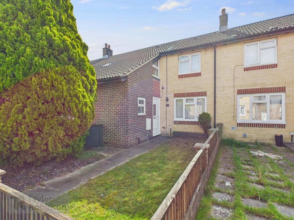
Corby Close
Bewbush, Crawley, RH11
Last Sold - Jun, 2019

Key Facts
About Us

Let us Inspire you
Are you considering selling or letting in Crawley or the surrounding areas? Would you like to deal with property professionals, who have lived and worked in the area for many years?
If you are, we guarantee you will be impressed with our service. We are so confident that you will love our honest and pro-active approach that we don't need to tie you into restrictive sole agency agreements!
Find out more at our website
Title Plan
 Contains OS data © Crown copyright 2025
Title Information
Details provided by the Land Registry
- Title Number
- WSX217643
- Plot Size
- 0.02 acres (65 sq metres)
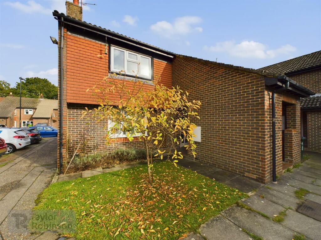
Street View
House Prices in Crawley
Last 12 months
-
Average Price Change
£22,546
Increased by 7%
-
Flats/Maisonettes Price Change
£13,505
Increased by 7%
Average House Prices
Last 12 months for all property types.
Since - February 2020
-
Average Price Change
£52,086
Increased by 19%
-
Flats/Maisonettes Price Change
£26,367
Increased by 14%
Average House Prices
Since 2020 for all property types
EPC

EPC Information
Details taken from the EPC register
- Date
- 2019-03-15
- Valid Until
- 2029-03-14
- Energy Efficiency - Current
- 71
- Energy Efficiency - Potential
- 73
- Environmental Impact - Current
- 72
- Environmental Impact - Potential
- 74
Properties For Sale in the Area
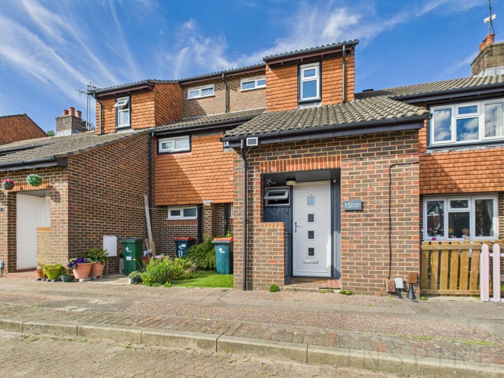
Corby Close
Corby Close
18 metres away
Peterlee Walk
0.11 km away
Allcot Close
0.11 km away
Bewbush
0.14 km away
Bewbush
0.19 km away
Recently Sold Properties in the Area
| Address | Property Type | Distance | Price | Completed |
|---|---|---|---|---|
|
17 Welwyn Close Bewbush, Crawley, RH11 6EB |
Terraced | 67 metres away | £342,000 | 11 months ago |
|
3 Cumbernauld Walk Bewbush, Crawley, RH11 6EF |
Terraced | 0.11 km away | £330,000 | 3 months ago |
|
12 Basildon Way Bewbush, Crawley, RH11 6EE |
Terraced | 0.13 km away | £345,000 | 8 months ago |
|
37 Cumbernauld Walk Bewbush, Crawley, RH11 6EF |
Terraced | 0.13 km away | £365,000 | 10 months ago |
|
37 Stevenage Road Bewbush, Crawley, RH11 6EN |
Terraced | 0.25 km away | £355,500 | 8 months ago |
|
1 Norfolk Close Crawley, RH11 8GJ |
Terraced | 0.26 km away | £350,000 | 6 months ago |
|
1 Nesbit Court Crawley, RH11 6AQ |
Terraced | 0.28 km away | £340,000 | 9 months ago |
|
40 Chetwood Road Crawley, RH11 8GD |
Flats/Maisonettes | 0.35 km away | £135,000 | 7 months ago |
|
32 Somerset Road Faygate, Horsham, RH12 0DP |
Terraced | 0.36 km away | £380,000 | 5 months ago |
|
25 Somerset Road Faygate, Horsham, RH12 0BY |
Terraced | 0.37 km away | £425,000 | 7 months ago |
Schools
| Name | Type | Postcode | Distance | Rating |
|---|---|---|---|---|
| The Bewbush Academy | Primary | RH11 8XW | 0.44 km | Not rated |
| Kilnwood Vale Primary School | Nursery, Primary | RH12 0BZ | 0.73 km | Good |
| Waterfield Primary School | Nursery, Primary | RH11 8RA | 0.77 km | Good |
| Gossops Green Primary | Primary | RH11 8HW | 1.24 km | Good |
| Seymour Primary School | Nursery, Primary | RH11 9ES | 1.35 km | Good |
Transport
Bus Stops & Stations
Details provided by Department for Transport
| Name | Distance |
|---|---|
| Barlow Road | 52 metres |
| Sullivan Drive | 72 metres |
| Warrington Close | 0.11 km |
| Wesley Close | 0.11 km |
| Bewbush Roundabout, Sullivan Drive | 0.22 km |
Train Stations
Details provided by Department for Transport
| Name | Distance |
|---|---|
| Ifield Rail Station | 1.79 km |
| Faygate Rail Station | 2.54 km |
| Crawley Rail Station | 3.07 km |
| Three Bridges Rail Station | 4.94 km |
Nearest Motorway
Details provided by Department for Transport
| Name | Distance |
|---|---|
| M23 | 2.69 km |
Coverage
- Average Broadband Speed:
-
4mb Basic
-
80mb Superfast
-
1000mb Ultrafast
-
1000mb Overall
- Mobile Coverage:
-
EEOkay
-
O2Good
-
ThreeOkay
-
VodafoneGood
Important Notice - This report is intended for general informational purposes only and should act only as a guide. The report is produced automatically on behalf of Inspire Estate Agents - Crawley by Street Insights, a product of Street Systems Ltd. Street Systems maintains and aggregates data from multiple public data sources and whilst every effort is made to keep information up to date and accurate, we make no representations or warranties of any kind about the accuracy, reliability or completeness of the information contained within this report for any purpose. Any reliance you place on the data contained within this report is strictly at your own risk. In no event will Inspire Estate Agents - Crawley or Street Systems Ltd be liable for any loss or damage including without limitation, indirect or consequential loss or damage, or any loss or damage whatsoever arising from loss of data or profits arising out of, or in connection with, the use of this report.
This report contains public sector information licensed under the Open Government License v3.0
Transaction data and HPI data is produced by HM Land Registry. Crown copyright and database rights 2025