Market Appraisal Data Report

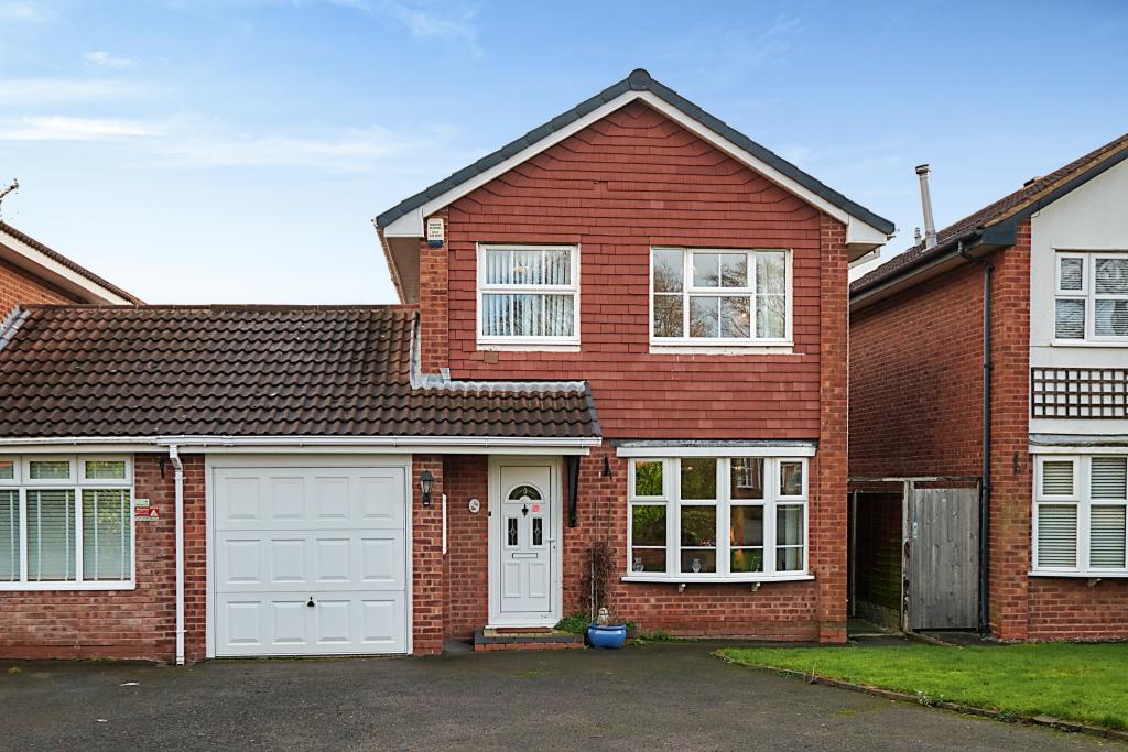
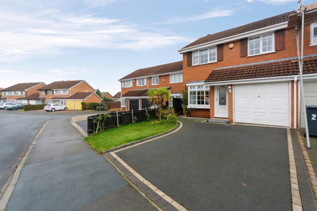
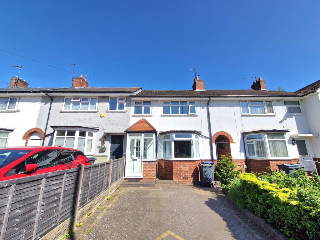
74 Chelworth Road
Birmingham, B38 0AE
Estimated Value - £275,000
Estimated Rental Value - £1,200 PCM
Last Sold - Feb, 2024


Key Facts
About Us
Be moved by our service
Leaders was founded in 1983, and we've been successfully selling and letting ever since. We believe the key to providing the best service is to take the time to get to know our customers and their priorities, and then make them our priorities.
Find out more at leaders.co.uk
Title Plan
 Contains OS data © Crown copyright 2025
Title Information
Details provided by the Land Registry
- Title Number
- HW39799
- Plot Size
- 0.07 acres (294 sq metres)
Street View
House Prices in Bromsgrove
Last 12 months
-
Average Price Change
£7,325
Increased by 2%
-
Detached Price Change
£3,804
Increased by 1%
Average House Prices
Last 12 months for all property types.
Since Last Sale - 29th February 2024
-
Average Price Change
£57,224
Increased by 21%
-
Detached Price Change
£79,886
Increased by 18%
Average House Prices
Since 2020 for all property types
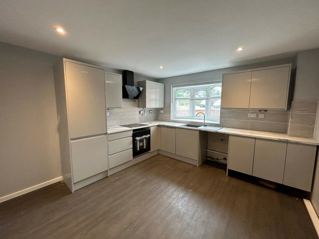
EPC

EPC Information
Details taken from the EPC register
- Date
- 2023-05-30
- Valid Until
- 2033-05-29
- Energy Efficiency - Current
- 70
- Energy Efficiency - Potential
- 85
- Environmental Impact - Current
- 68
- Environmental Impact - Potential
- 84
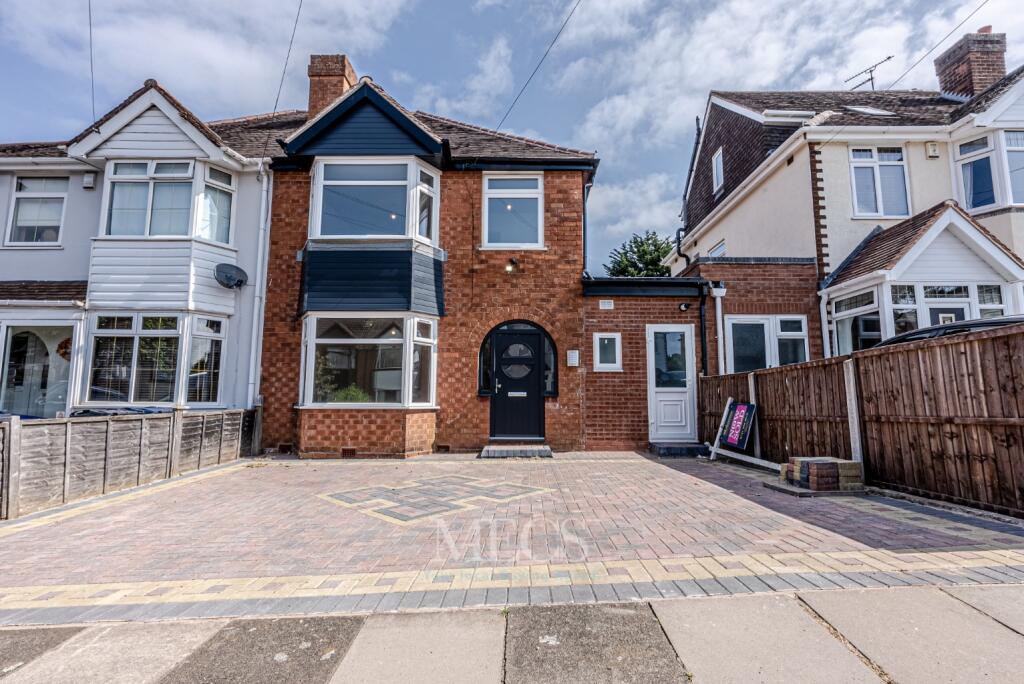
Properties For Sale in the Area
Hayle Close
89 metres away
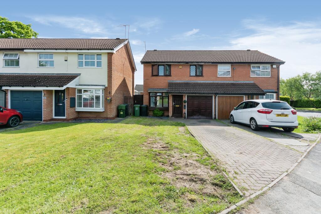
Chelworth Road
0.11 km away
Foxhope Close
0.19 km away
Foxhope Close
0.20 km away
Foxhope Close
0.21 km away
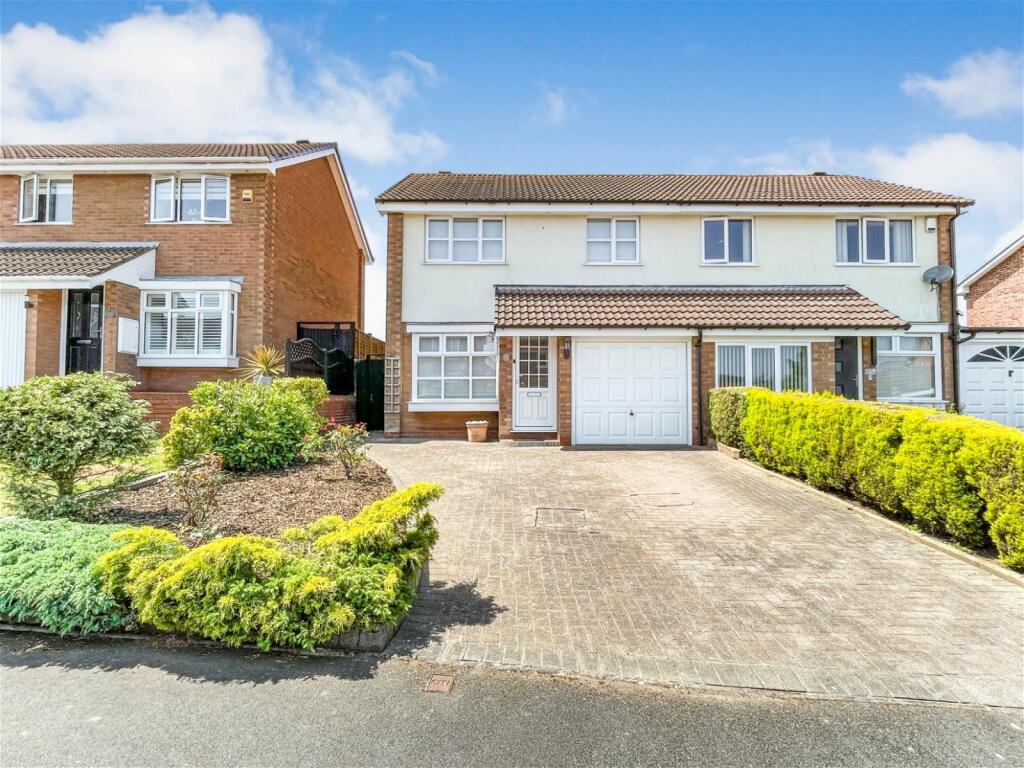
Properties To Let in the Area
Sherston Covert
0.31 km away
Bradstock Road
0.89 km away
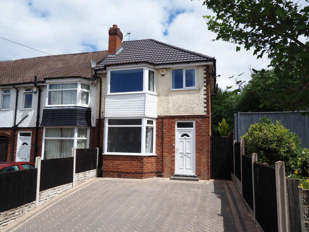
Dunster Close
0.92 km away
Masshouse Lane
0.93 km away
Schools
| Name | Type | Postcode | Distance | Rating |
|---|---|---|---|---|
| Bells Farm Primary School | Primary | B14 5QP | 0.48 km | Good |
| Broadmeadow Infant School | Nursery, Primary | B30 3QJ | 0.51 km | Not rated |
| Broadmeadow Junior School | Primary | B30 3QJ | 0.51 km | Good |
| Lindsworth School | Special | B30 3QA | 0.80 km | Not rated |
| The Oaks Primary School | Nursery, Primary | B14 5RY | 0.88 km | Not rated |
Transport
Train Stations
Details provided by Department for Transport
| Name | Distance |
|---|---|
| Kings Norton Rail Station | 1.52 km |
| Bournville Rail Station | 2.45 km |
| Northfield Rail Station | 3.51 km |
| Selly Oak Rail Station | 4.24 km |
| Yardley Wood Rail Station | 4.40 km |
Nearest Motorway
Details provided by Department for Transport
| Name | Distance |
|---|---|
| M42 | 5.47 km |
Coverage
- Average Broadband Speed:
-
5mb Basic
-
1000mb Ultrafast
-
1000mb Overall
- Mobile Coverage:
-
EEOkay
-
O2Good
-
ThreeOkay
-
VodafoneOkay
Recently Sold Properties in the Area
| Address | Property Type | Distance | Price | Completed |
|---|---|---|---|---|
|
20 Lindford Way Birmingham, B38 0BD |
Detached | 54 metres away | £340,000 | 2 months ago |
|
1 Apsley Croft Birmingham, B38 0AF |
Flats/Maisonettes | 56 metres away | £135,000 | 8 months ago |
|
4 Lindford Way Birmingham, B38 0BD |
Semi-Detached | 100 metres away | £237,500 | 10 months ago |
|
52 Chelworth Road Birmingham, B38 0AE |
Semi-Detached | 0.11 km away | £196,000 | 7 months ago |
|
30 Leydon Croft Birmingham, B38 0AH |
Terraced | 0.17 km away | £84,000 | 11 months ago |
|
17 Swansbrook Gardens Birmingham, B38 0BJ |
Semi-Detached | 0.19 km away | £270,000 | 8 months ago |
|
3 Heathside Drive Birmingham, B38 9LR |
Semi-Detached | 0.22 km away | £270,000 | 6 months ago |
|
19 Clandon Close Birmingham, B14 5QL |
Terraced | 0.22 km away | £202,000 | 10 months ago |
|
29 Foxhope Close Birmingham, B38 0AR |
Semi-Detached | 0.24 km away | £311,000 | 11 months ago |
|
5 Walkers Heath Road Birmingham, B38 0AB |
Semi-Detached | 0.25 km away | £222,500 | 4 months ago |
Important Notice - This report is intended for general informational purposes only and should act only as a guide. The report is produced automatically on behalf of Leaders - Kings Norton by Street Insights, a product of Street Systems Ltd. Street Systems maintains and aggregates data from multiple public data sources and whilst every effort is made to keep information up to date and accurate, we make no representations or warranties of any kind about the accuracy, reliability or completeness of the information contained within this report for any purpose. Any reliance you place on the data contained within this report is strictly at your own risk. In no event will Leaders - Kings Norton or Street Systems Ltd be liable for any loss or damage including without limitation, indirect or consequential loss or damage, or any loss or damage whatsoever arising from loss of data or profits arising out of, or in connection with, the use of this report.
This report contains public sector information licensed under the Open Government License v3.0
Transaction data and HPI data is produced by HM Land Registry. Crown copyright and database rights 2025