Property Information Report
Lamerton Close
Coventry, CV2
Last Sold - Mar, 1995

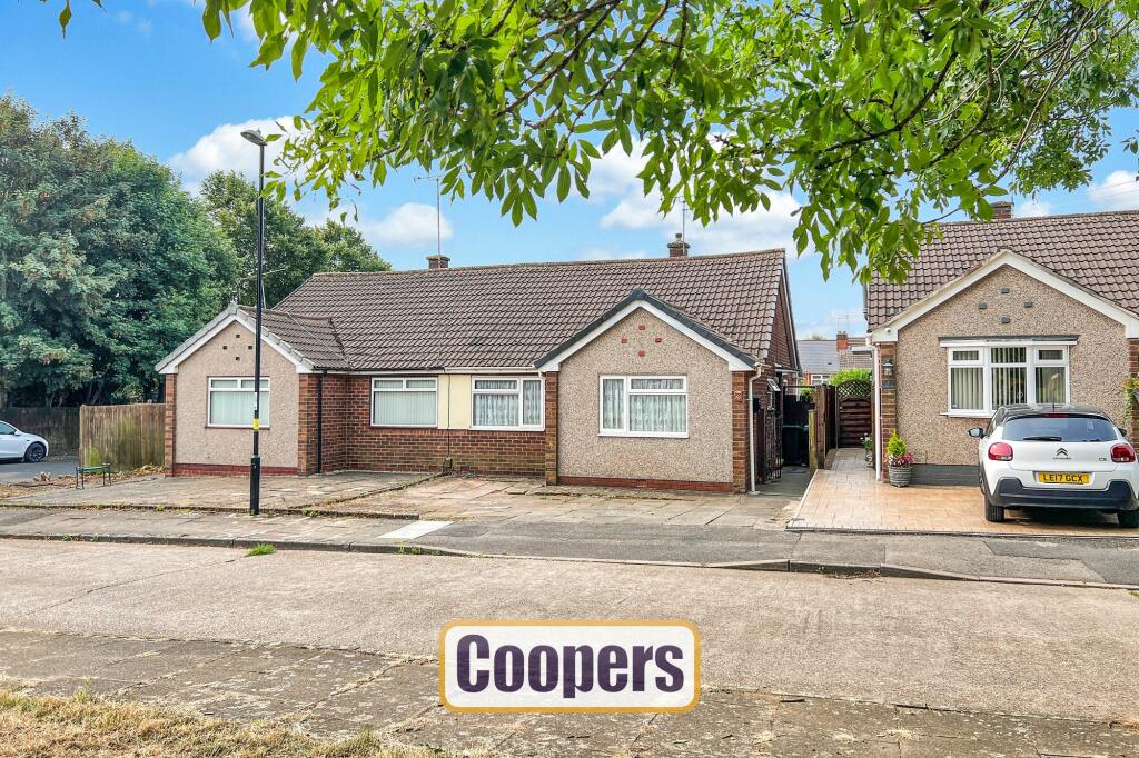
Description
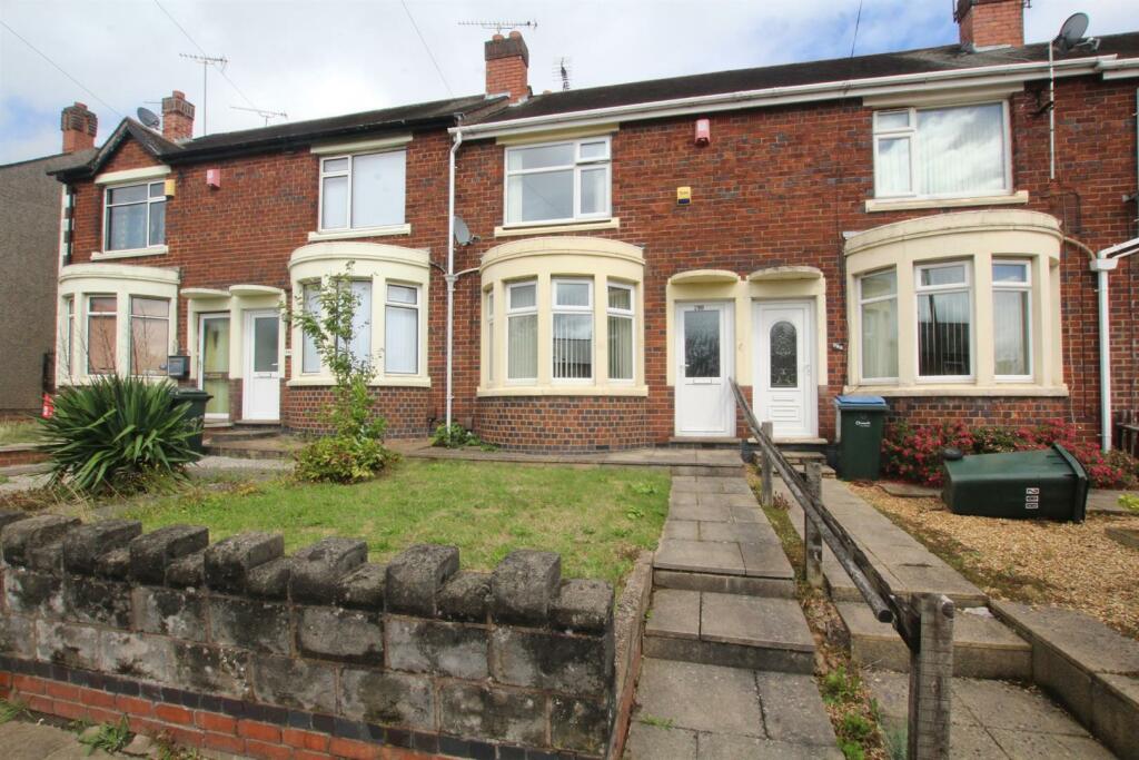
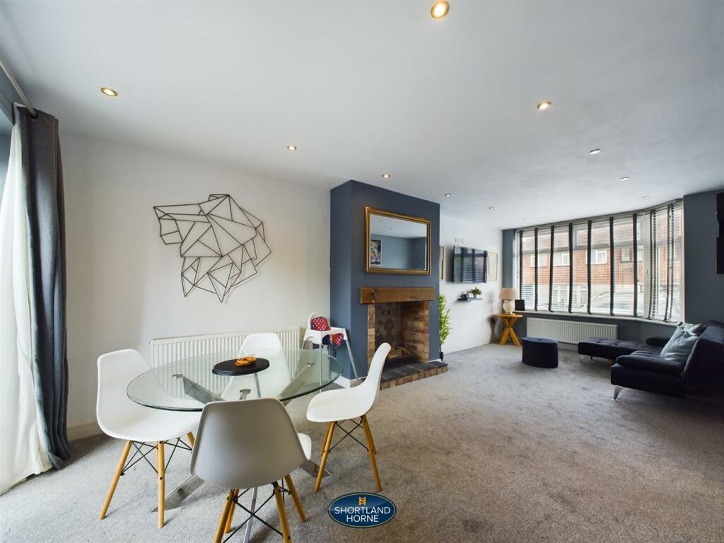
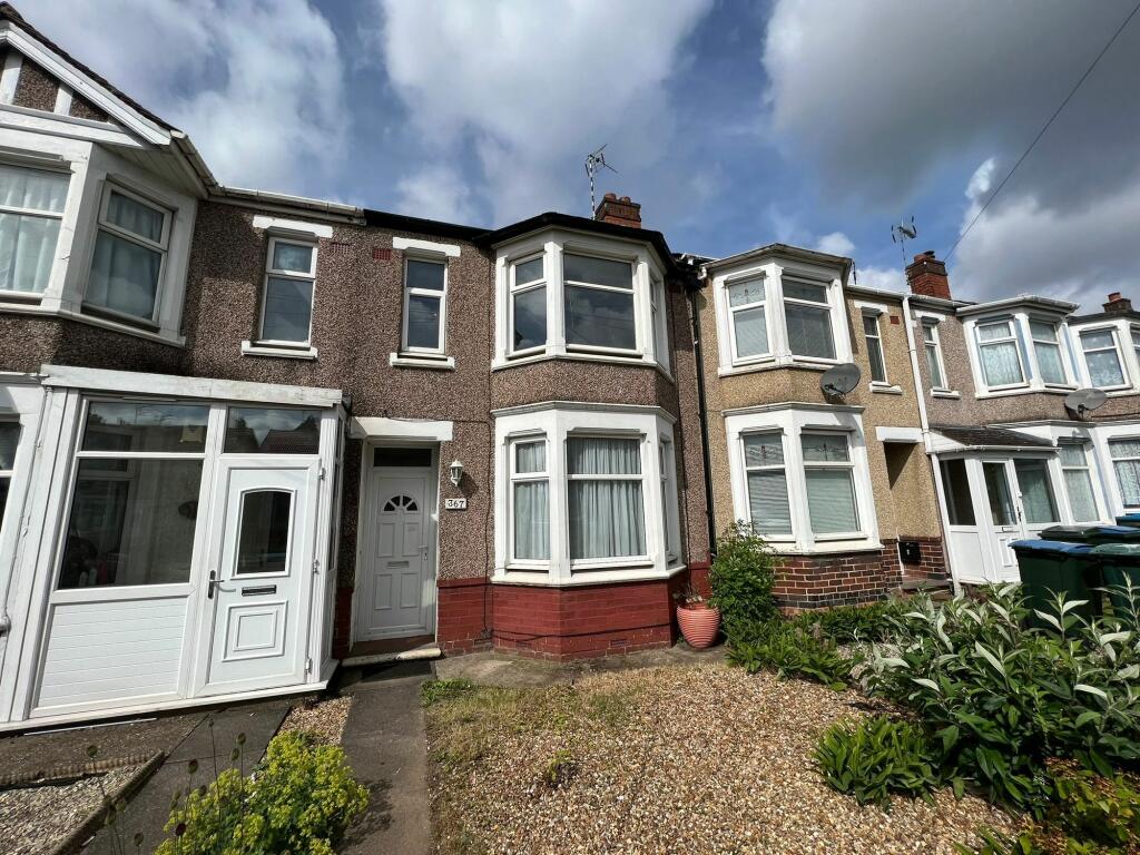
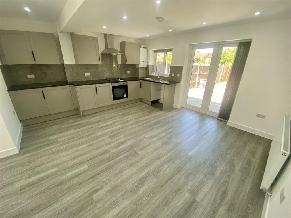
A very well proportioned two bedroom semi-detached bungalow, located on a quiet close overlooking a public green space. Nicely positioned away from the hustle and bustle but with easy access to a wide range of nearby amenities, as well as great links to the city centre and wider road network. Inside there is an extended kitchen with dining area to the rear, a large living room overlooking the garden, two good sized bedrooms and a bathroom. Outside there is a front driveway leading to the side access and to the rear is a private lawned garden with patio area. Offered for sale with no upward chain.
Key Facts
Title Plan
 Contains OS data © Crown copyright 2024
Title Information
Details provided by the Land Registry
- Title Number
- WK73685
- Plot Size
- 0.06 acres (237 sq metres)
Street View
House Prices in Coventry
Last 12 months
-
Average Price Change
£7,348
Increased by 3%
-
Semi-Detached Price Change
£11,015
Increased by 4%
Average House Prices
Last 12 months for all property types.
Since - July 2019
-
Average Price Change
£42,977
Increased by 23%
-
Semi-Detached Price Change
£53,536
Increased by 24%
Average House Prices
Since 2019 for all property types
EPC
 No EPC data available for this property.
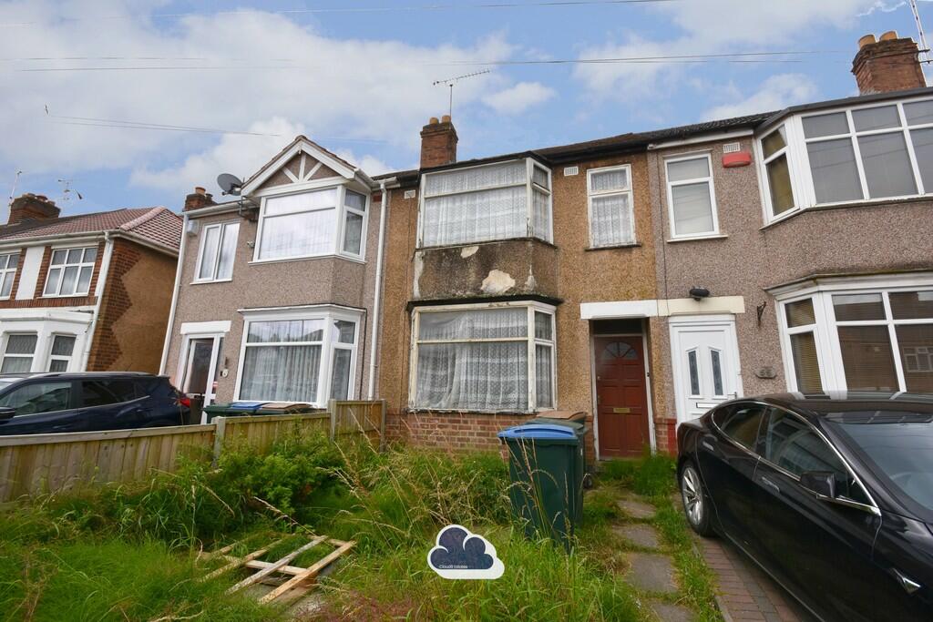
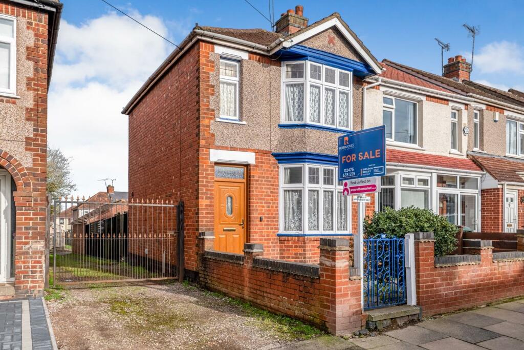
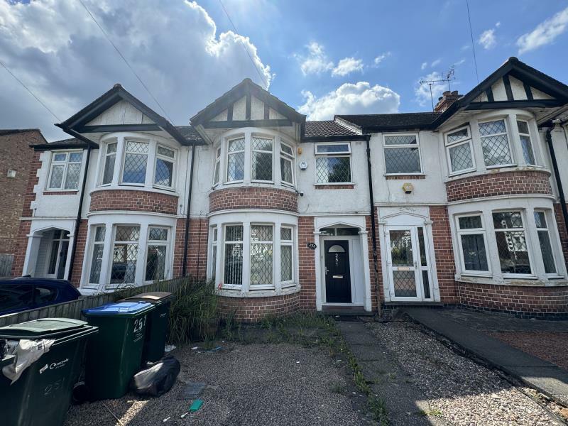
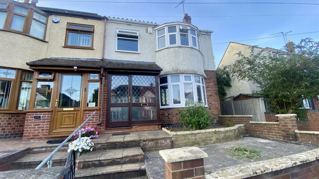
Properties For Sale in the Area
Lamerton Close
Torcross Avenue
0.14 km away
Sewall Highway
0.16 km away
Sewall Highway
0.16 km away
Hartland Avenue
0.19 km away
Honiton Road
0.24 km away
Properties To Let in the Area
Sewell Highway
0.11 km away
Torcross Avenue
0.21 km away
Sewall Highway
0.22 km away
Dartmouth Road
0.28 km away
Sewall Highway
0.31 km away
Sewall Highway
0.37 km away
Schools
| Name | Type | Postcode | Distance | Rating |
|---|---|---|---|---|
| St John Fisher Catholic Primary School | Nursery, Primary | CV2 3NR | 0.29 km | Good |
| Lyng Hall School | Secondary, Post 16 | CV2 3JS | 0.36 km | Good |
| Wyken Croft Primary School | Nursery, Primary | CV2 3AA | 0.82 km | Good |
| Stoke Heath Primary School | Nursery, Primary | CV2 4PR | 0.90 km | Good |
| Stoke Park School | Secondary, Post 16 | CV2 4JW | 0.93 km | Good |
Transport
Train Stations
Details provided by Department for Transport
| Name | Distance |
|---|---|
| Coventry Arena Rail Station | 3.37 km |
| Coventry Rail Station | 3.74 km |
Nearest Motorway
Details provided by Department for Transport
| Name | Distance |
|---|---|
| M6 | 3.45 km |
Coverage
- Average Broadband Speed:
-
2mb Basic
-
44mb Superfast
-
1000mb Ultrafast
-
1000mb Overall
- Mobile Coverage:
-
EEGood
-
O2Good
-
ThreeGood
-
VodafoneOkay
Recently Sold Properties in the Area
| Address | Property Type | Distance | Price | Completed |
|---|---|---|---|---|
|
43a, Torcross Avenue Coventry, CV2 3NE |
Other | 0.11 km away | £183,000 | 11 months ago |
|
160 Armscott Road Coventry, CV2 3AP |
Terraced | 0.15 km away | £250,000 | 10 months ago |
|
287 Sewall Highway Coventry, CV2 3PD |
Semi-Detached | 0.16 km away | £255,000 | 6 months ago |
|
30 Torcross Avenue Coventry, CV2 3NF |
Terraced | 0.18 km away | £162,000 | 8 months ago |
|
90 Hartland Avenue Coventry, CV2 3EQ |
Terraced | 0.21 km away | £220,000 | 7 months ago |
|
106 Forknell Avenue Coventry, CV2 3EL |
Terraced | 0.22 km away | £260,000 | 4 months ago |
|
11 Torcross Avenue Coventry, CV2 3NE |
Terraced | 0.22 km away | £200,000 | 10 months ago |
|
75 Forknell Avenue Coventry, CV2 3EN |
Terraced | 0.23 km away | £185,000 | 5 months ago |
|
63 Forknell Avenue Coventry, CV2 3EN |
Terraced | 0.25 km away | £210,000 | 3 months ago |
|
105 Honiton Road Coventry, CV2 3EG |
Terraced | 0.27 km away | £179,000 | 3 months ago |
Important Notice - This report is intended for general informational purposes only and should act only as a guide. The report is produced automatically on behalf of Coopers Estate Agents - Coventry by Street Insights, a product of Street Systems Ltd. Street Systems maintains and aggregates data from multiple public data sources and whilst every effort is made to keep information up to date and accurate, we make no representations or warranties of any kind about the accuracy, reliability or completeness of the information contained within this report for any purpose. Any reliance you place on the data contained within this report is strictly at your own risk. In no event will Coopers Estate Agents - Coventry or Street Systems Ltd be liable for any loss or damage including without limitation, indirect or consequential loss or damage, or any loss or damage whatsoever arising from loss of data or profits arising out of, or in connection with, the use of this report.
This report contains public sector information licensed under the Open Government License v3.0
Transaction data and HPI data is produced by HM Land Registry. Crown copyright and database rights 2024