Property Information Report
Yeoman Gardens
Willesborough, Ashford, TN24
Estimated Value - £335,000
Last Sold - Nov, 2019

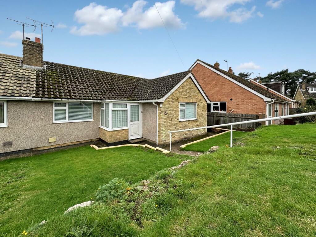
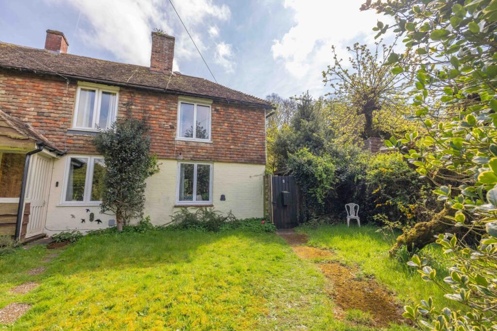
Description
Nestled within the desirable area of Yeoman Gardens, this charming two-bedroom semi-detached bungalow presents a rare opportunity for those seeking a peaceful yet convenient lifestyle. Priced at offers over £335,000, this turnkey property is ideal for buyers looking to settle in with ease. Boasting a convenient driveway for one car at the front, this home offers effortless access to the nearby M20, providing quick connections to junction 10 for those commuting. The proximity to the well-regarded William Harvey Hospital adds to the property's appeal, making it an attractive option for medical professionals or those seeking easy access to healthcare. Furthermore, the nearby Tesco Superstore ensures that daily necessities are within easy reach, offering convenience at your doorstep.
Step outside and be greeted by the tranquil oasis that is the west-facing rear garden, spanning approximately 65 feet in length. The front garden has a walled surround ensures privacy and security while the mixture of shingle areas, a patio pathway, and a raised flower bed with mature blooms add character to the outdoor space. The rear garden boasts a concrete hard standing with side access through a gate provides functionality, allowing for easy maintenance and storage solutions. The main attraction of the garden is the delightful pebbled water feature, complemented by a small patio area perfect for al fresco dining or relaxing in the sun. For added convenience, an outhouse equipped with electricity and lighting, a small work surface, and a vent for a tumble dryer offers useful space for storage or hobbies. Additionally, two sheds located on a patio and decked area provide further storage options, catering to the needs of the discerning homeowner. With outdoor electrical points available, this garden is not only beautiful but also practical, offering a space where relaxation and functionality harmoniously coexist.
Key Facts
Title Plan
 Contains OS data © Crown copyright 2025
Title Information
Details provided by the Land Registry
- Title Number
- K291530
- Plot Size
- 0.04 acres (176 sq metres)
House Prices in Ashford
Last 12 months
-
Average Price Change
£5,823
Increased by 2%
-
Semi-Detached Price Change
£7,607
Increased by 2%
Average House Prices
Last 12 months for all property types.
Since - March 2020
-
Average Price Change
£55,093
Increased by 19%
-
Semi-Detached Price Change
£57,731
Increased by 20%
Average House Prices
Since 2020 for all property types
EPC

EPC Information
Details taken from the EPC register
- Date
- 2017-11-04
- Valid Until
- 2027-11-03
- Energy Efficiency - Current
- 67
- Energy Efficiency - Potential
- 87
- Environmental Impact - Current
- 64
- Environmental Impact - Potential
- 86
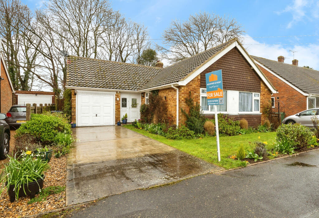
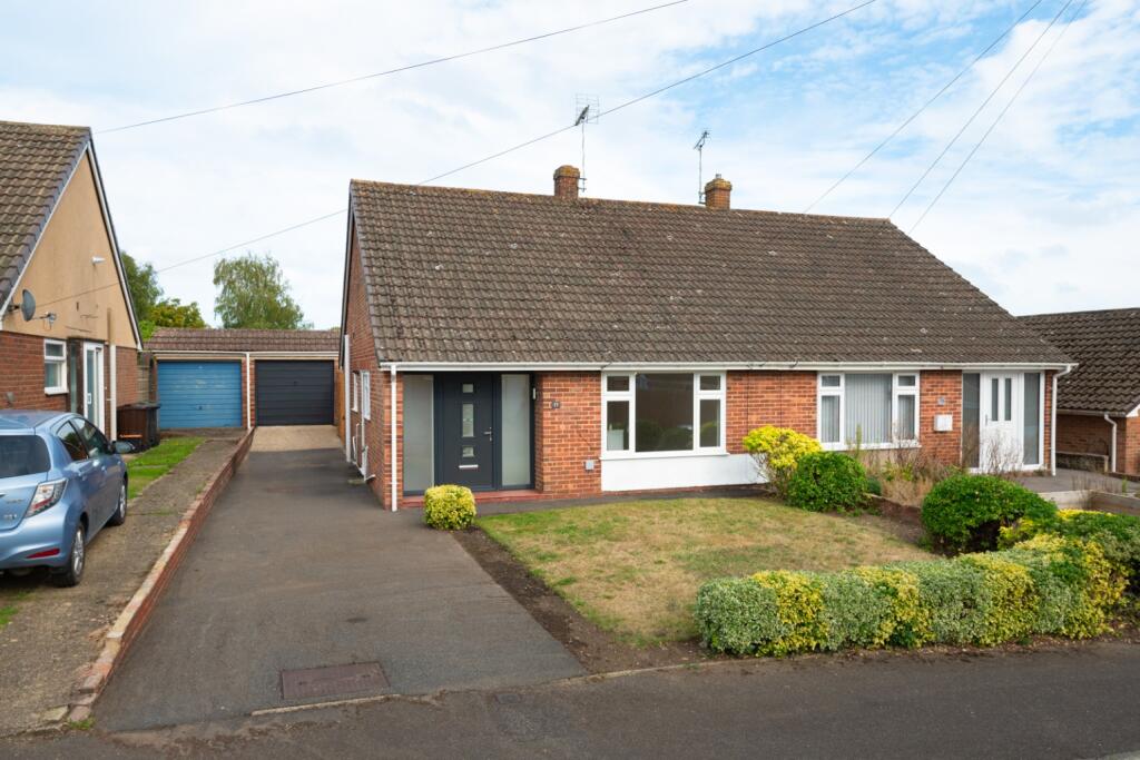
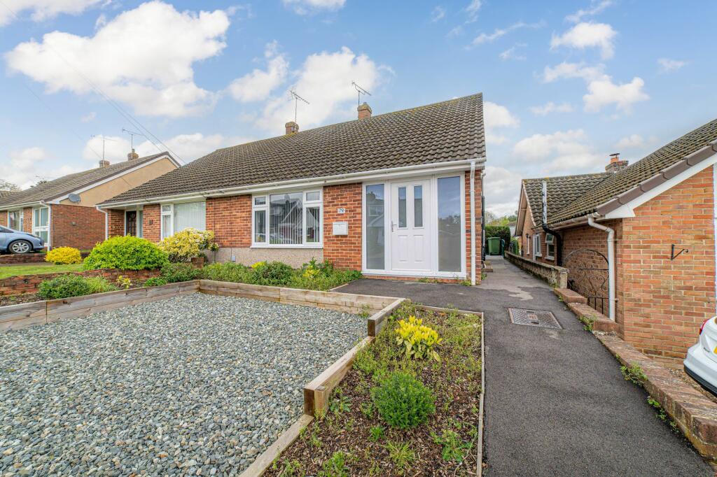
Properties For Sale in the Area
Yeoman Gardens
60 metres away
Yeoman Gardens
72 metres away
Yeoman Gardens
0.12 km away
Yeoman Gardens
0.12 km away
Lees Road
0.14 km away
Yeoman Gardens
0.15 km away
Schools
| Name | Type | Postcode | Distance | Rating |
|---|---|---|---|---|
| Willesborough Junior School | Primary | TN24 0JU | 0.50 km | Good |
| Willesborough Infant School | Primary | TN24 0JZ | 0.53 km | Good |
| The Norton Knatchbull School | Secondary, Post 16 | TN24 0QJ | 1.33 km | Good |
| Cornfields School | Special, Independent | TN24 8PL | 1.50 km | Outstanding |
| The North School | Secondary, Post 16 | TN24 8AL | 1.55 km | Not rated |
Transport
Bus Stops & Stations
Details provided by Department for Transport
| Name | Distance |
|---|---|
| Sandy Lane | 0.18 km |
| Yeoman Gardens | 0.18 km |
| Winslade Terrace, Silver Hill Road | 0.22 km |
| High Trees Close | 0.25 km |
| Industrial Park, Kennington Road | 0.27 km |
Train Stations
Details provided by Department for Transport
| Name | Distance |
|---|---|
| Ashford International Rail Station | 2.30 km |
Nearest Motorway
Details provided by Department for Transport
| Name | Distance |
|---|---|
| M20 | 0.39 km |
Coverage
- Average Broadband Speed:
-
4mb Basic
-
61mb Superfast
-
1800mb Ultrafast
-
1800mb Overall
- Mobile Coverage:
-
EEOkay
-
O2Good
-
ThreeOkay
-
VodafoneOkay
Recently Sold Properties in the Area
| Address | Property Type | Distance | Price | Completed |
|---|---|---|---|---|
|
59 Yeoman Gardens Willesborough, Ashford, TN24 0NG |
Detached | 72 metres away | £380,000 | 10 months ago |
|
65 Yeoman Gardens Willesborough, Ashford, TN24 0NG |
Semi-Detached | 98 metres away | £275,000 | 9 months ago |
|
79 Yeoman Gardens Willesborough, Ashford, TN24 0NG |
Semi-Detached | 0.12 km away | £281,000 | 2 months ago |
|
11 Yeoman Gardens Willesborough, Ashford, TN24 0NQ |
Semi-Detached | 0.14 km away | £288,500 | 8 months ago |
|
1 Lees Road Willesborough, Ashford, TN24 0NN |
Detached | 0.16 km away | £435,000 | 11 months ago |
|
The Hollies, Silver Hill Gardens Willesborough, Ashford, TN24 0PA |
Detached | 0.16 km away | £332,000 | 10 months ago |
|
28a, Lees Road Willesborough, Ashford, TN24 0PB |
Semi-Detached | 0.18 km away | £213,000 | 7 months ago |
|
6 Longbridge Willesborough, Ashford, TN24 0TA |
Detached | 0.25 km away | £325,000 | 9 months ago |
|
45 Wickenden Crescent Willesborough, Ashford, TN24 0JL |
Semi-Detached | 0.25 km away | £290,000 | 3 months ago |
|
65 Highfield Road Willesborough, Ashford, TN24 0JW |
Semi-Detached | 0.33 km away | £353,000 | 8 months ago |
Important Notice - This report is intended for general informational purposes only and should act only as a guide. The report is produced automatically on behalf of Andrew & Co Estate Agents Ltd - Ashford by Street Insights, a product of Street Systems Ltd. Street Systems maintains and aggregates data from multiple public data sources and whilst every effort is made to keep information up to date and accurate, we make no representations or warranties of any kind about the accuracy, reliability or completeness of the information contained within this report for any purpose. Any reliance you place on the data contained within this report is strictly at your own risk. In no event will Andrew & Co Estate Agents Ltd - Ashford or Street Systems Ltd be liable for any loss or damage including without limitation, indirect or consequential loss or damage, or any loss or damage whatsoever arising from loss of data or profits arising out of, or in connection with, the use of this report.
This report contains public sector information licensed under the Open Government License v3.0
Transaction data and HPI data is produced by HM Land Registry. Crown copyright and database rights 2025