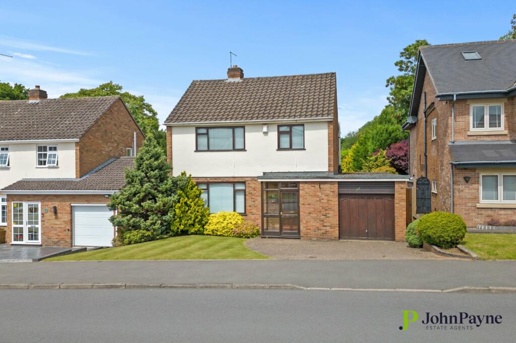
Property Information Report
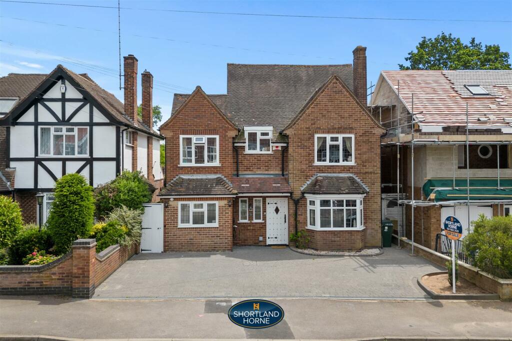
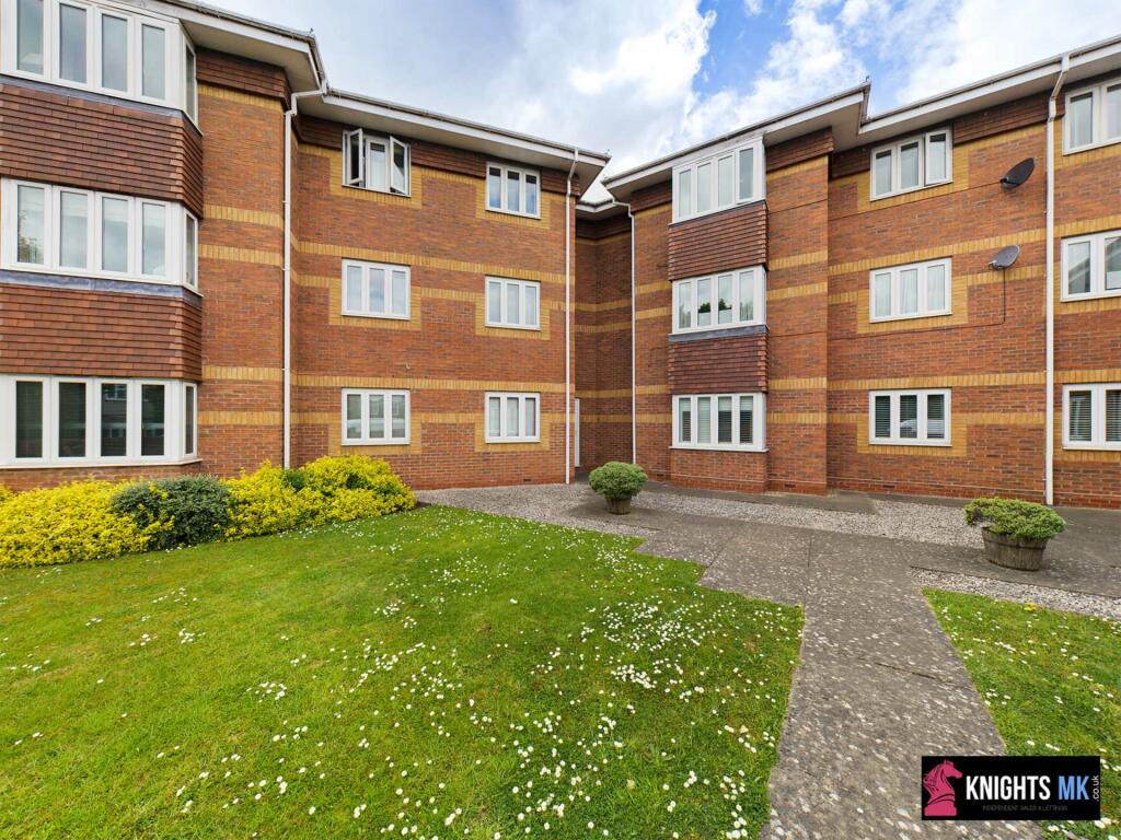
Armorial Road
Coventry, CV3

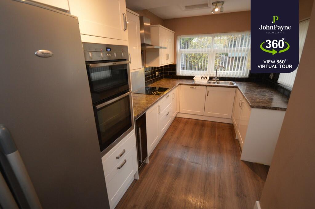
Description
Discover the charm of Armorial Road, nestled in the sought-after suburb of Styvechale.
This picturesque, tree-lined street offers a tranquil escape with the convenience of city living.
Perfect for families and professionals alike, this desirable location boasts excellent schools, local parks, and easy access to Coventry city centre and major transport links. Experience the perfect balance of peaceful suburban life and urban convenience.
Key Facts
No lease data available
Title Plan
 Contains OS data © Crown copyright 2024
Title Information
Details provided by the Land Registry
- Title Number
- WK29644
- Plot Size
- 0.14 acres (578 sq metres)
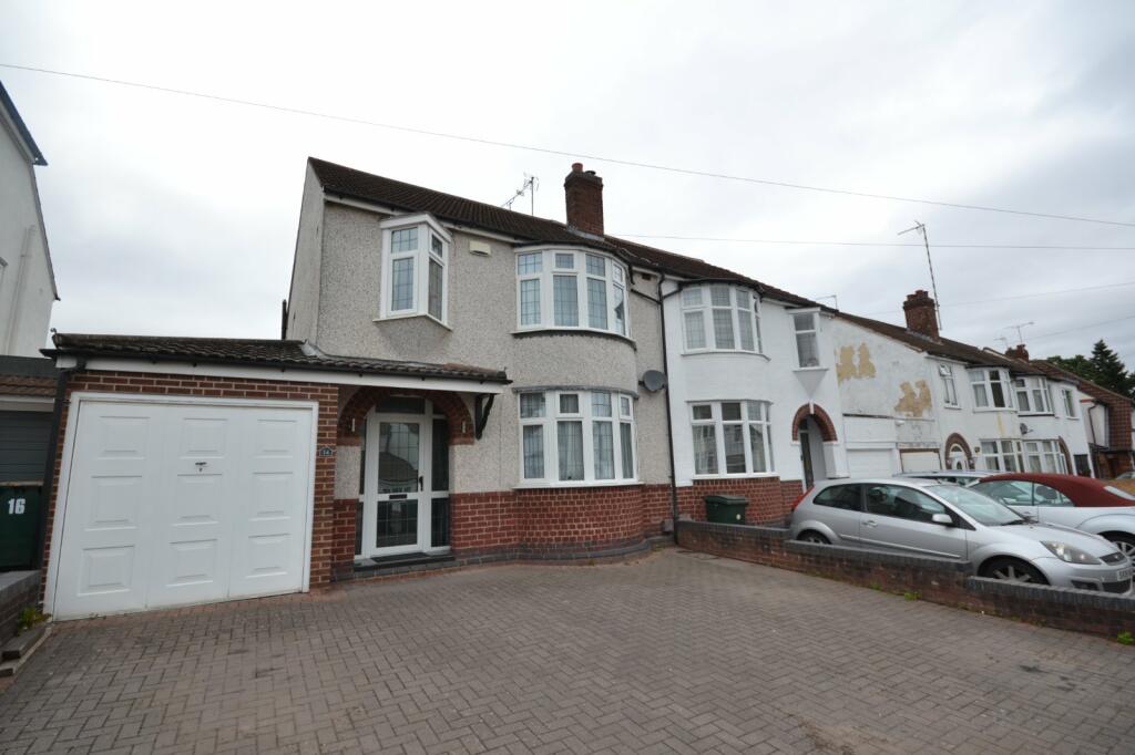
Street View
House Prices in Coventry
Last 12 months
-
Average Price Change
£7,348
Increased by 3%
-
Detached Price Change
£17,032
Increased by 4%
Average House Prices
Last 12 months for all property types.
Since - July 2019
-
Average Price Change
£42,977
Increased by 23%
-
Detached Price Change
£83,219
Increased by 24%
Average House Prices
Since 2019 for all property types
EPC
 No EPC data available for this property.
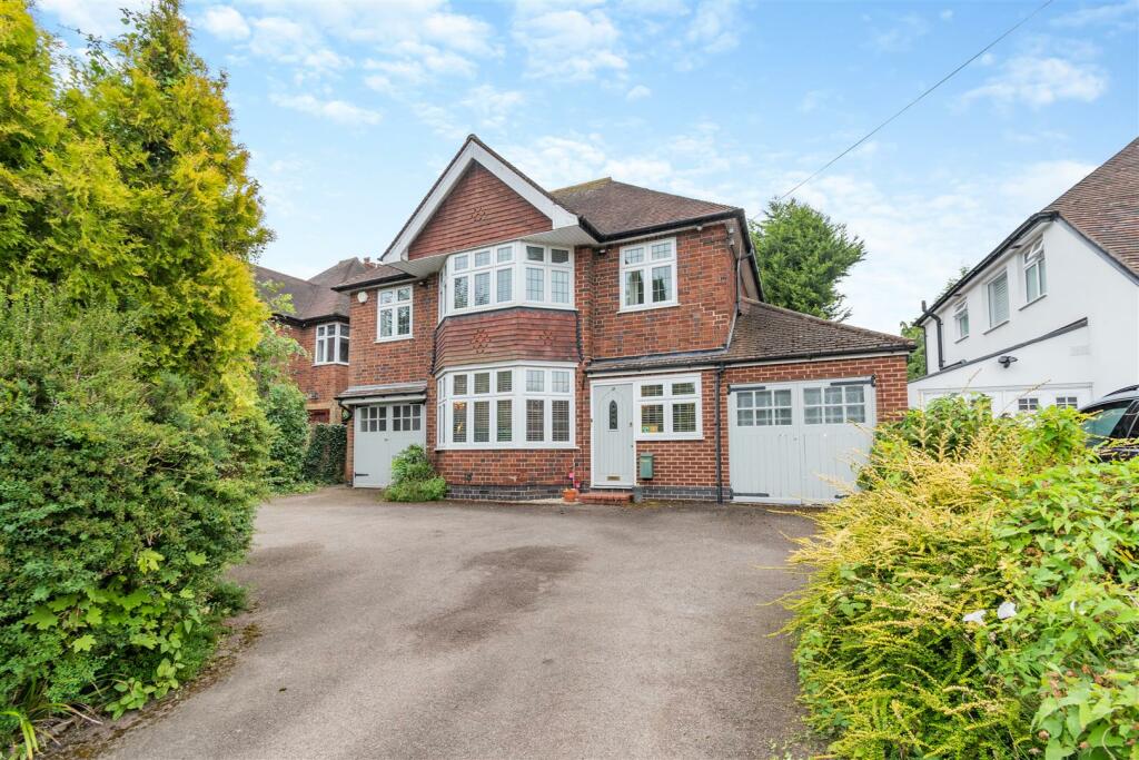
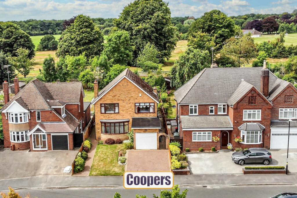
Properties For Sale in the Area
Armorial Road
0.18 km away
Stivichall Croft
0.18 km away
Armorial Road
0.19 km away

Stivichall Croft
0.25 km away
Sunway Grove
0.26 km away
Mantilla Drive
0.32 km away
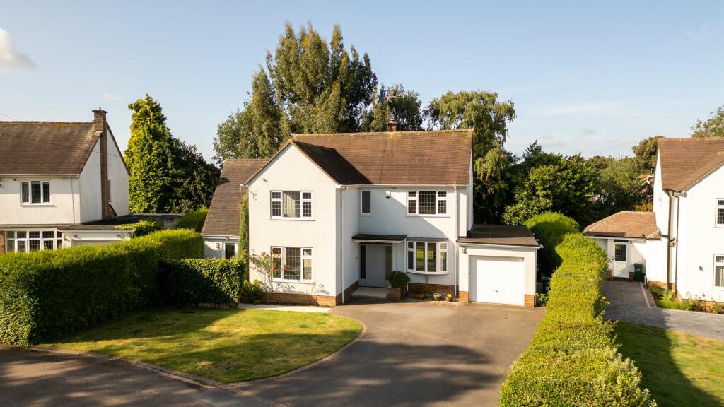
Properties To Let in the Area
Armorial Road
0.42 km away
Leamington Road
0.50 km away
Alpine Rise
0.68 km away
Renaissance Court
0.72 km away
Kenpas Highway
0.75 km away
Salisbury Avenue
0.76 km away
Schools
| Name | Type | Postcode | Distance | Rating |
|---|---|---|---|---|
| Stivichall Primary School | Primary | CV3 6PY | 0.30 km | Good |
| Grange Farm Primary School | Primary | CV3 6NF | 0.61 km | Good |
| Manor Park Primary School | Nursery, Primary | CV3 5EZ | 0.85 km | Good |
| Finham Park School | Secondary, Post 16 | CV3 6EA | 0.88 km | Outstanding |
| St Thomas More Catholic Primary School | Nursery, Primary | CV3 5DE | 0.92 km | Good |
Transport
Train Stations
Details provided by Department for Transport
| Name | Distance |
|---|---|
| Coventry Rail Station | 1.41 km |
| Canley Rail Station | 2.13 km |
Nearest Motorway
Details provided by Department for Transport
| Name | Distance |
|---|---|
| M6 | 8.38 km |
Airports
Details provided by Department for Transport
| Name | Distance |
|---|---|
| Coventry Airport | 3.92 km |
| Birmingham International Airport | 15.94 km |
| East Midlands Airport | 50.32 km |
| London Oxford Airport | 63.60 km |
| Gloucestershire Airport | 70.57 km |
Coverage
- Average Broadband Speed:
-
12mb Basic
-
35mb Superfast
-
1000mb Ultrafast
-
1000mb Overall
- Mobile Coverage:
-
EEGood
-
O2Good
-
ThreeGood
-
VodafoneOkay
Recently Sold Properties in the Area
| Address | Property Type | Distance | Price | Completed |
|---|---|---|---|---|
|
6 Easedale Close Coventry, CV3 6LH |
Semi-Detached | 0.36 km away | £401,000 | 6 months ago |
|
110 Mantilla Drive Coventry, CV3 6LJ |
Semi-Detached | 0.42 km away | £335,000 | 9 months ago |
|
7 Chideock Hill Coventry, CV3 6LN |
Semi-Detached | 0.42 km away | £336,000 | 6 months ago |
|
45 Gregory Avenue Coventry, CV3 6DJ |
Terraced | 0.44 km away | £318,500 | 3 months ago |
|
27 Finnemore Close Coventry, CV3 6LR |
Semi-Detached | 0.47 km away | £485,000 | 6 months ago |
|
21 Finnemore Close Coventry, CV3 6LR |
Semi-Detached | 0.48 km away | £342,000 | 6 months ago |
|
91 Mantilla Drive Coventry, CV3 6LJ |
Detached | 0.49 km away | £330,000 | 4 months ago |
|
10 Alpine Rise Coventry, CV3 6NT |
Semi-Detached | 0.50 km away | £252,000 | 10 months ago |
|
4 Finnemore Close Coventry, CV3 6LR |
Semi-Detached | 0.52 km away | £37,000 | 2 months ago |
|
26 Alpine Rise Coventry, CV3 6NT |
Semi-Detached | 0.56 km away | £265,000 | 10 months ago |
Important Notice - This report is intended for general informational purposes only and should act only as a guide. The report is produced automatically on behalf of Coopers Estate Agents - Coventry by Street Insights, a product of Street Systems Ltd. Street Systems maintains and aggregates data from multiple public data sources and whilst every effort is made to keep information up to date and accurate, we make no representations or warranties of any kind about the accuracy, reliability or completeness of the information contained within this report for any purpose. Any reliance you place on the data contained within this report is strictly at your own risk. In no event will Coopers Estate Agents - Coventry or Street Systems Ltd be liable for any loss or damage including without limitation, indirect or consequential loss or damage, or any loss or damage whatsoever arising from loss of data or profits arising out of, or in connection with, the use of this report.
This report contains public sector information licensed under the Open Government License v3.0
Transaction data and HPI data is produced by HM Land Registry. Crown copyright and database rights 2024