Property Information Report

40 Grist Court
Bradford-On-Avon, BA15 1FJ
Last Sold - Oct, 2021

Properties To Let in the Area
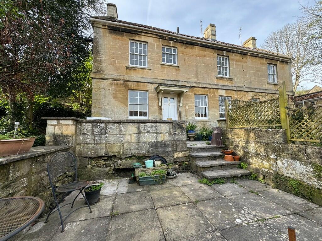
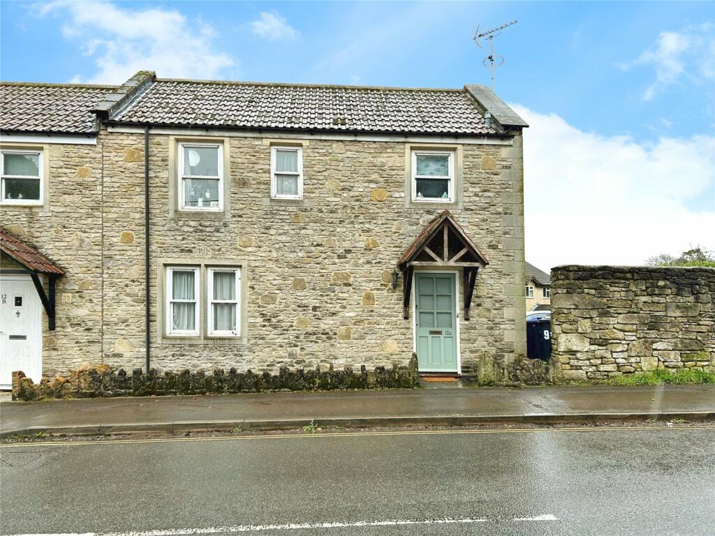
St. Margarets Steps
0.13 km away
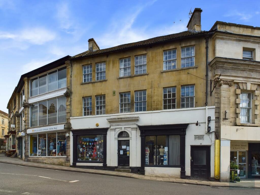
32 Silver Street
0.14 km away
Coppice Hill
0.21 km away
Whitehill
0.34 km away
Sladesbrook
0.58 km away
Wine Street
0.59 km away
Key Facts
Title Plan
 Contains OS data © Crown copyright 2024
Title Information
Details provided by the Land Registry
- Title Number
- WT297445
- Plot Size
- 0.07 acres (268 sq metres)
Street View
House Prices in Wiltshire
Last 12 months
-
Average Price Change
£5,317
Decreased by 2%
-
Flats/Maisonettes Price Change
£5,962
Decreased by 4%
Average House Prices
Last 12 months for all property types.
Since Last Sale - 20th October 2021
-
Average Price Change
£25,726
Increased by 9%
-
Flats/Maisonettes Price Change
£4,408
Increased by 3%
Average House Prices
Since last sale in 2021 for all property types
EPC

EPC Information
Details taken from the EPC register
- Date
- 2021-08-05
- Valid Until
- 2031-08-05
- Energy Efficiency - Current
- 86
- Energy Efficiency - Potential
- 86
- Environmental Impact - Current
- 88
- Environmental Impact - Potential
- 88
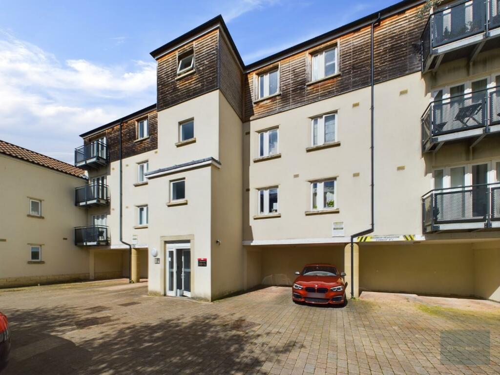
Properties For Sale in the Area
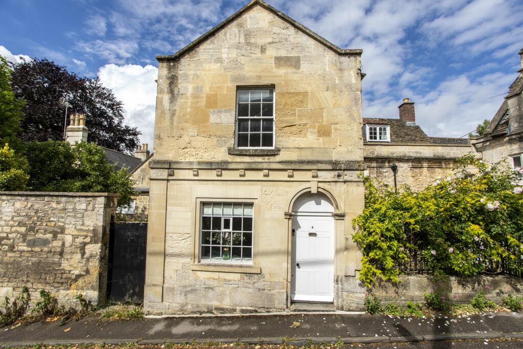
Bradford on Avon

Bradford on Avon
6 metres away
Norden
18 metres away
Grist Court
37 metres away
Norden
43 metres away
Bridge Street
88 metres away
Recently Sold Properties in the Area
| Address | Property Type | Distance | Price | Completed |
|---|---|---|---|---|
|
51 Grist Court Bradford-On-Avon, BA15 1FJ |
Flats/Maisonettes | 17 metres away | £205,000 | 6 months ago |
|
15 Norden Bradford-On-Avon, BA15 1FL |
Terraced | 43 metres away | £450,000 | 9 months ago |
|
32 Bridge Street Bradford-On-Avon, BA15 1BY |
Semi-Detached | 92 metres away | £415,000 | 5 months ago |
|
2 Mill Lane Bradford-On-Avon, BA15 1FB |
Terraced | 96 metres away | £570,000 | 8 months ago |
|
7 Taylors Row Bridge Street Bradford-On-Avon, BA15 1JP |
Detached | 0.12 km away | £395,000 | 6 months ago |
|
2 Coppice Hill Bradford-On-Avon, BA15 1JT |
Detached | 0.18 km away | £675,000 | 9 months ago |
|
5 Orchard Gardens Bradford-On-Avon, BA15 1BN |
Detached | 0.24 km away | £960,000 | 7 months ago |
|
5a, Market Street Bradford-On-Avon, BA15 1LH |
Flats/Maisonettes | 0.25 km away | £190,000 | 7 months ago |
|
Flat 40, Abbey Mill, Church Street Bradford-On-Avon, BA15 1HB |
Flats/Maisonettes | 0.26 km away | £252,500 | 7 months ago |
|
Flat 32, Abbey Mill, Church Street Bradford-On-Avon, BA15 1HB |
Flats/Maisonettes | 0.26 km away | £155,000 | 8 months ago |
Schools
| Name | Type | Postcode | Distance | Rating |
|---|---|---|---|---|
| Fitzmaurice Primary School | Primary | BA15 1LE | 0.50 km | Not rated |
| Christ Church Church of England Controlled Primary School | Primary | BA15 1ST | 0.59 km | Good |
| St Laurence School | Secondary, Post 16 | BA15 1DZ | 0.94 km | Good |
| Winsley CoE VC Primary School | Primary | BA15 2JN | 2.52 km | Not rated |
| Westwood-with-Ilford Primary School | Primary | BA15 2BY | 2.68 km | Not rated |
Transport
Bus Stops & Stations
Details provided by Department for Transport
| Name | Distance |
|---|---|
| The Hall, Woolley Street | 0.13 km |
| Town Bridge, Town Bridge | 0.16 km |
| Town Bridge, Saint Margaret's Street | 0.19 km |
| United Church, Saint Margaret's Street | 0.24 km |
| Railway Bridge, Frome Road | 0.30 km |
Train Stations
Details provided by Department for Transport
| Name | Distance |
|---|---|
| Bradford-On-Avon Rail Station | 0.32 km |
| Avoncliff Rail Station | 2.43 km |
| Freshford Rail Station | 3.66 km |
| Trowbridge Rail Station | 3.83 km |
Nearest Motorway
Details provided by Department for Transport
| Name | Distance |
|---|---|
| M4 | 18.65 km |
Coverage
- Average Broadband Speed:
-
16mb Basic
-
80mb Superfast
-
80mb Overall
- Mobile Coverage:
-
EEGood
-
O2Good
-
ThreeOkay
-
VodafoneGood
About Us

Kingstons
Kingstons Estate Agents have been successfully selling and letting residential and commercial properties in and around Bradford on Avon since 1994.
Important Notice - This report is intended for general informational purposes only and should act only as a guide. The report is produced automatically on behalf of Kingstons Estate Agents - Bradford on Avon by Street Insights, a product of Street Systems Ltd. Street Systems maintains and aggregates data from multiple public data sources and whilst every effort is made to keep information up to date and accurate, we make no representations or warranties of any kind about the accuracy, reliability or completeness of the information contained within this report for any purpose. Any reliance you place on the data contained within this report is strictly at your own risk. In no event will Kingstons Estate Agents - Bradford on Avon or Street Systems Ltd be liable for any loss or damage including without limitation, indirect or consequential loss or damage, or any loss or damage whatsoever arising from loss of data or profits arising out of, or in connection with, the use of this report.
This report contains public sector information licensed under the Open Government License v3.0
Transaction data and HPI data is produced by HM Land Registry. Crown copyright and database rights 2024