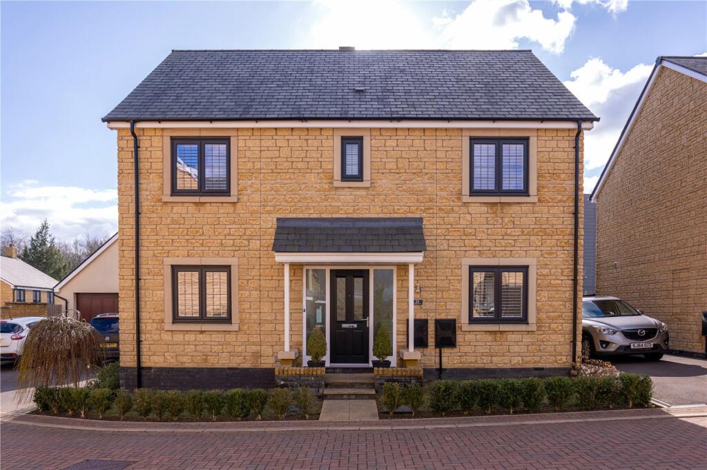
Property Information Report

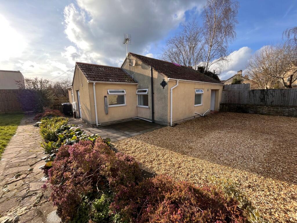
7 Kingsfield Leaze
Bradford-On-Avon, BA15 1GH
Last Sold - May, 2020

Properties To Let in the Area
Benjamin Street
0.27 km away
Woolley Street
0.37 km away
Sladesbrook
0.77 km away
Upper Regents Park
0.77 km away
Upper Regents Park
0.78 km away
Norden
0.79 km away
Key Facts
Title Plan
 Contains OS data © Crown copyright 2025
Title Information
Details provided by the Land Registry
- Title Number
- WT453362
- Plot Size
- 0.09 acres (345 sq metres)
Street View
House Prices in Wiltshire
Last 12 months
-
Average Price Change
£21,826
Increased by 7%
-
Detached Price Change
£34,270
Increased by 7%
Average House Prices
Last 12 months for all property types.
Since - May 2020
-
Average Price Change
£62,435
Increased by 23%
-
Detached Price Change
£94,195
Increased by 22%
Average House Prices
Since 2020 for all property types
EPC

EPC Information
Details taken from the EPC register
- Date
- 2019-07-10
- Valid Until
- 2029-07-09
- Energy Efficiency - Current
- 86
- Energy Efficiency - Potential
- 93
- Environmental Impact - Current
- 86
- Environmental Impact - Potential
- 93
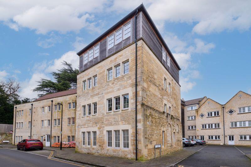
Properties For Sale in the Area
Chalfield Glebe
26 metres away
Bradford on Avon
44 metres away
Kingsfield Leaze
44 metres away
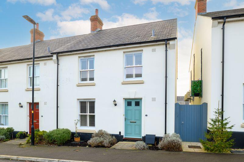
Bradford on Avon
0.19 km away
Kingsfield Grange Road
0.22 km away
Bradford on Avon
0.23 km away
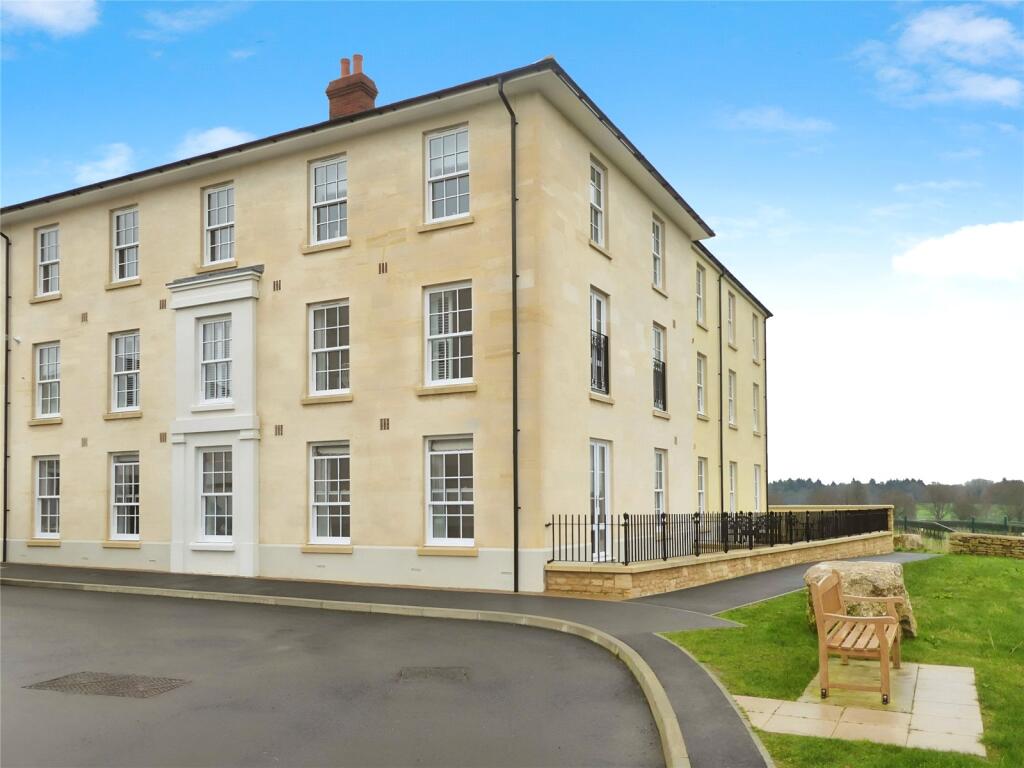
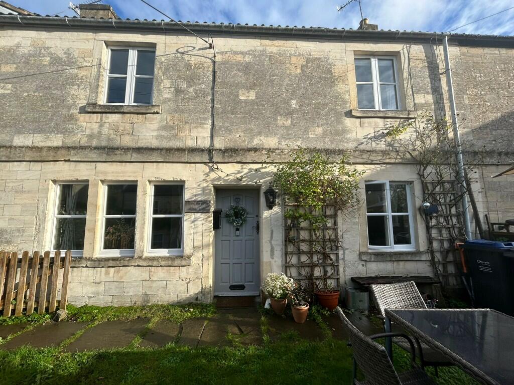
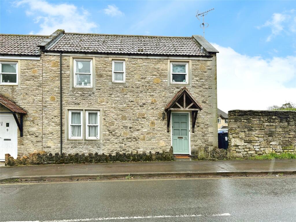
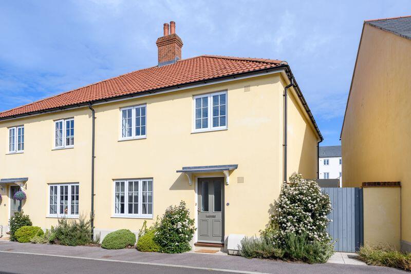
Recently Sold Properties in the Area
| Address | Property Type | Distance | Price | Completed |
|---|---|---|---|---|
|
22 Kingsfield Leaze Bradford-On-Avon, BA15 1GH |
Detached | 44 metres away | £600,000 | 8 months ago |
|
21 Kingsfield Leaze Bradford-On-Avon, BA15 1GH |
Semi-Detached | 0.10 km away | £467,500 | 7 months ago |
|
25 Uncles Lane Bradford-On-Avon, BA15 1FZ |
Terraced | 0.19 km away | £485,000 | 11 months ago |
|
59 Benjamin Street Bradford-On-Avon, BA15 1FW |
Terraced | 0.19 km away | £595,000 | 4 months ago |
|
15 Uncles Lane Bradford-On-Avon, BA15 1FZ |
Terraced | 0.21 km away | £475,000 | 4 months ago |
|
Flat 3a, Conigre House, 5 Kingsfield Grange Road Bradford-On-Avon, BA15 1BE |
Flats/Maisonettes | 0.23 km away | £225,000 | 10 months ago |
|
Flat 2a, Conigre House, 5 Kingsfield Grange Road Bradford-On-Avon, BA15 1BE |
Flats/Maisonettes | 0.23 km away | £540,000 | 5 months ago |
|
18 Duffield Lane Bradford-On-Avon, BA15 1FY |
Detached | 0.25 km away | £765,000 | 8 months ago |
|
14 Woolley Terrace Bradford-On-Avon, BA15 1AY |
Detached | 0.27 km away | £750,000 | 11 months ago |
|
31 Springfield Bradford-On-Avon, BA15 1BA |
Flats/Maisonettes | 0.32 km away | £252,000 | 5 months ago |
Schools
| Name | Type | Postcode | Distance | Rating |
|---|---|---|---|---|
| Christ Church Church of England Controlled Primary School | Primary | BA15 1ST | 1.03 km | Good |
| Fitzmaurice Primary School | Primary | BA15 1LE | 1.16 km | Good |
| St Laurence School | Secondary, Post 16 | BA15 1DZ | 1.60 km | Good |
| Emmaus School | Independent, Primary | BA14 6NZ | 2.13 km | Not rated |
| Staverton Church of England Voluntary Controlled Primary School | Primary | BA14 6NZ | 2.13 km | Not rated |
Transport
Bus Stops & Stations
Details provided by Department for Transport
| Name | Distance |
|---|---|
| Cemetery, Holt Road | 0.17 km |
| The Green, Springfield | 0.36 km |
| Springfield Road | 0.36 km |
| Woolley Close | 0.36 km |
| Woolley Drive | 0.52 km |
Train Stations
Details provided by Department for Transport
| Name | Distance |
|---|---|
| Bradford-On-Avon Rail Station | 1.09 km |
| Avoncliff Rail Station | 3.22 km |
| Trowbridge Rail Station | 3.48 km |
| Freshford Rail Station | 4.46 km |
Nearest Motorway
Details provided by Department for Transport
| Name | Distance |
|---|---|
| M4 | 18.87 km |
Coverage
- Average Broadband Speed:
-
16mb Basic
-
50mb Superfast
-
1800mb Ultrafast
-
1800mb Overall
- Mobile Coverage:
-
EEOkay
-
O2Good
-
ThreeOkay
-
VodafoneGood
About Us

Kingstons
Kingstons Estate Agents have been successfully selling and letting residential and commercial properties in and around Bradford on Avon since 1994.
Important Notice - This report is intended for general informational purposes only and should act only as a guide. The report is produced automatically on behalf of Kingstons Estate Agents - Bradford on Avon by Street Insights, a product of Street Systems Ltd. Street Systems maintains and aggregates data from multiple public data sources and whilst every effort is made to keep information up to date and accurate, we make no representations or warranties of any kind about the accuracy, reliability or completeness of the information contained within this report for any purpose. Any reliance you place on the data contained within this report is strictly at your own risk. In no event will Kingstons Estate Agents - Bradford on Avon or Street Systems Ltd be liable for any loss or damage including without limitation, indirect or consequential loss or damage, or any loss or damage whatsoever arising from loss of data or profits arising out of, or in connection with, the use of this report.
This report contains public sector information licensed under the Open Government License v3.0
Transaction data and HPI data is produced by HM Land Registry. Crown copyright and database rights 2025