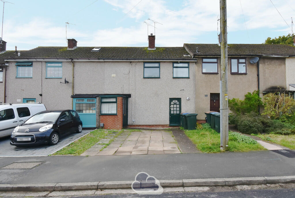
Property Information Report
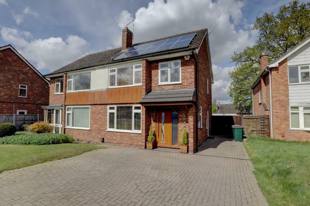
Empire Road
Coventry, CV4
Last Sold - Dec, 2019

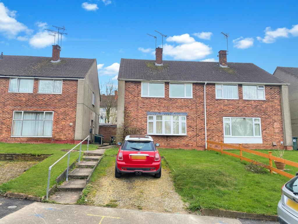
Description
Extremely spacious four bedroom semi detached family home with conservatory extension, two good living rooms and kitchen. Pleasant gardens and dropped kerb to hardstanding at front. Early inspection advised as no upward chain.
Key Facts
Title Plan
 Contains OS data © Crown copyright 2024
Title Information
Details provided by the Land Registry
- Title Number
- WM415952
- Plot Size
- 0.06 acres (262 sq metres)
Street View
House Prices in Coventry
Last 12 months
-
Average Price Change
£7,010
Decreased by 3%
-
Semi-Detached Price Change
£5,061
Decreased by 2%
Average House Prices
Last 12 months for all property types.
Since Last Sale - 2nd December 2019
-
Average Price Change
£32,779
Increased by 18%
-
Semi-Detached Price Change
£41,448
Increased by 19%
Average House Prices
Since last sale in 2019 for all property types
EPC

EPC Information
Details taken from the EPC register
- Date
- 2019-08-28
- Valid Until
- 2029-08-28
- Energy Efficiency - Current
- 70
- Energy Efficiency - Potential
- 86
- Environmental Impact - Current
- 66
- Environmental Impact - Potential
- 85
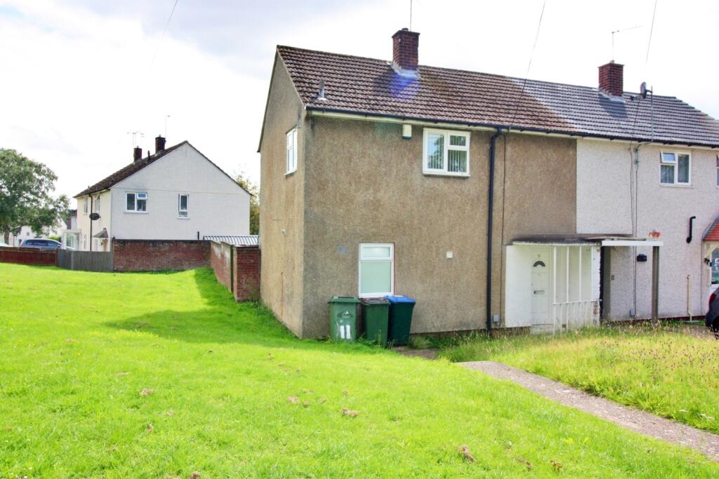
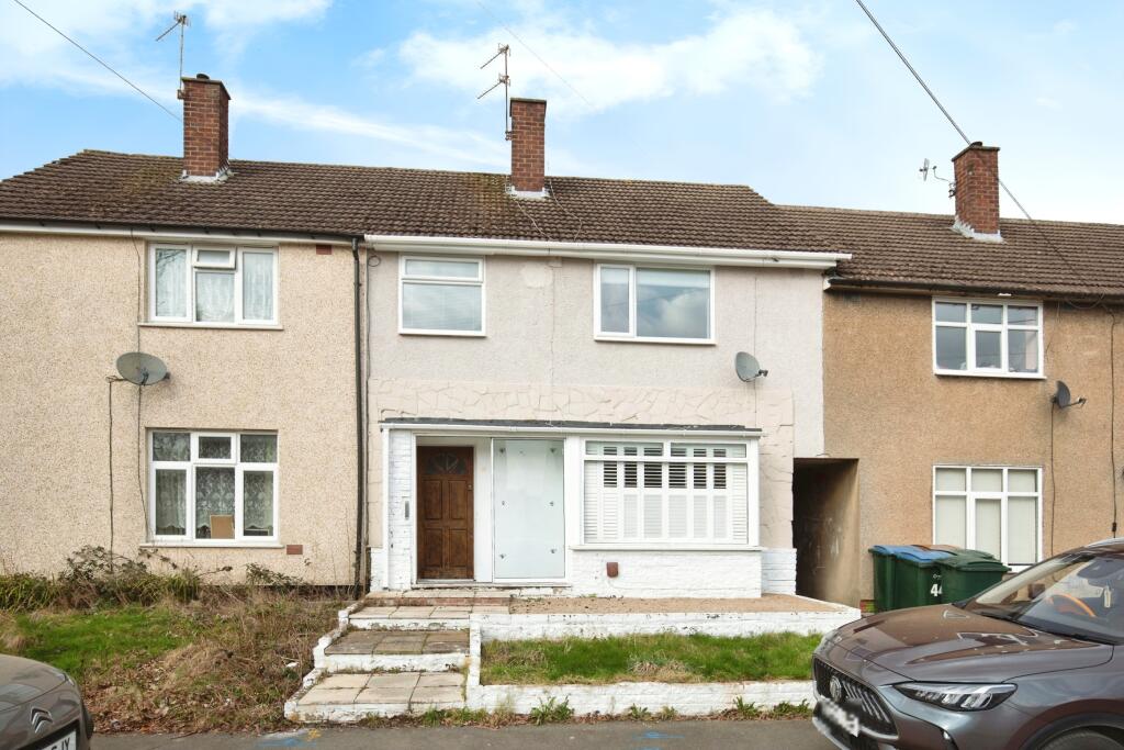
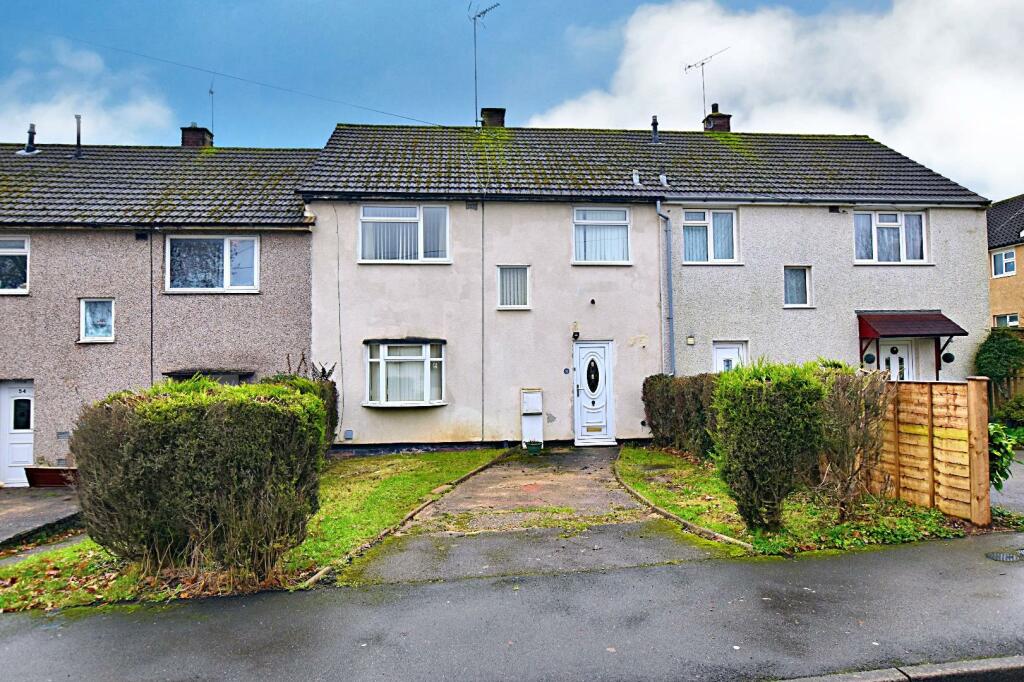
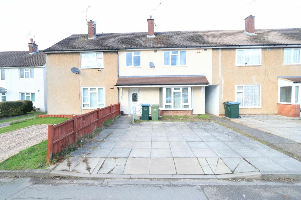
Properties For Sale in the Area
Empire Road
11 Berners Close
0.12 km away
Cavendish Road
0.15 km away
Empire Road
0.19 km away
Empire Road
0.21 km away
Shepherd Close
0.28 km away
Properties To Let in the Area
Berners Close
0.10 km away
Limbrick Court
0.68 km away
Trossachs Road
0.73 km away
Broad Lane
0.84 km away
Tilehurst Drive
0.85 km away
Fir Tree Avenue
0.86 km away
Schools
| Name | Type | Postcode | Distance | Rating |
|---|---|---|---|---|
| Limbrick Wood Primary School | Nursery, Primary | CV4 9QT | 0.44 km | Good |
| Our Lady of the Assumption Catholic Primary School | Nursery, Primary | CV4 9LB | 0.55 km | Good |
| Hereward College of Further Education | Secondary, Post 16 | CV4 9SW | 0.74 km | Good |
| Mount Nod Primary School | Nursery, Primary | CV5 7BG | 0.75 km | Good |
| Leigh Church of England Academy | Nursery, Primary | CV4 9RQ | 1.07 km | Not rated |
Transport
Train Stations
Details provided by Department for Transport
| Name | Distance |
|---|---|
| Tile Hill Rail Station | 1.67 km |
| Canley Rail Station | 2.56 km |
| Berkswell Rail Station | 4.27 km |
| Coventry Rail Station | 4.76 km |
Nearest Motorway
Details provided by Department for Transport
| Name | Distance |
|---|---|
| M6 | 8.63 km |
Coverage
- Average Broadband Speed:
-
14mb Basic
-
61mb Superfast
-
1000mb Ultrafast
-
1000mb Overall
- Mobile Coverage:
-
EEGood
-
O2Good
-
ThreeGood
-
VodafoneGood
Recently Sold Properties in the Area
| Address | Property Type | Distance | Price | Completed |
|---|---|---|---|---|
|
215 Jardine Crescent Coventry, CV4 9NX |
Flats/Maisonettes | 92 metres away | £105,000 | 8 months ago |
|
23 Aldrich Avenue Coventry, CV4 9LS |
Terraced | 0.18 km away | £200,000 | 8 months ago |
|
6 Bliss Close Coventry, CV4 9QA |
Semi-Detached | 0.20 km away | £195,000 | 11 months ago |
|
53 Aldrich Avenue Coventry, CV4 9LS |
Semi-Detached | 0.21 km away | £165,000 | 9 months ago |
|
30 Roosevelt Drive Coventry, CV4 9LP |
Semi-Detached | 0.22 km away | £225,000 | 7 months ago |
|
Flat 2, Bow House, Bushberry Avenue Coventry, CV4 9NN |
Flats/Maisonettes | 0.24 km away | £85,000 | 10 months ago |
|
76 Bushberry Avenue Coventry, CV4 9NU |
Semi-Detached | 0.25 km away | £270,000 | 9 months ago |
|
29 Dunhill Avenue Coventry, CV4 9PU |
Terraced | 0.27 km away | £183,000 | 8 months ago |
|
71 Roosevelt Drive Coventry, CV4 9LJ |
Semi-Detached | 0.29 km away | £180,000 | 8 months ago |
|
3 Boar Croft Coventry, CV4 9SJ |
Semi-Detached | 0.36 km away | £225,000 | 11 months ago |
Important Notice - This report is intended for general informational purposes only and should act only as a guide. The report is produced automatically on behalf of Coopers Estate Agents - Coventry by Street Insights, a product of Street Systems Ltd. Street Systems maintains and aggregates data from multiple public data sources and whilst every effort is made to keep information up to date and accurate, we make no representations or warranties of any kind about the accuracy, reliability or completeness of the information contained within this report for any purpose. Any reliance you place on the data contained within this report is strictly at your own risk. In no event will Coopers Estate Agents - Coventry or Street Systems Ltd be liable for any loss or damage including without limitation, indirect or consequential loss or damage, or any loss or damage whatsoever arising from loss of data or profits arising out of, or in connection with, the use of this report.
This report contains public sector information licensed under the Open Government License v3.0
Transaction data and HPI data is produced by HM Land Registry. Crown copyright and database rights 2024