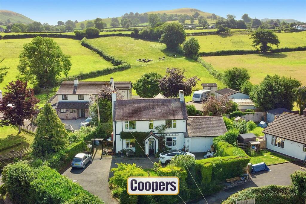
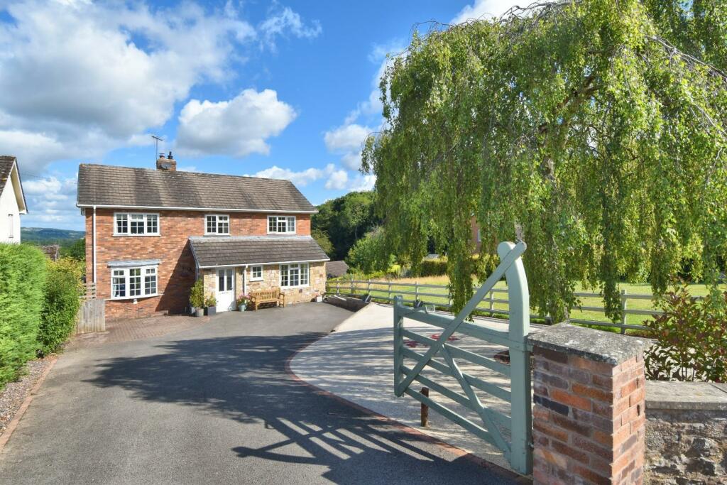
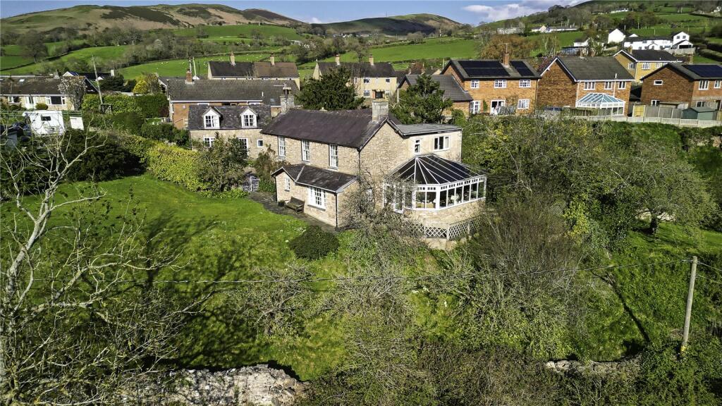
Property Information Report
Graigfechan, Ruthin, LL15
Last Sold - Feb, 2007


Key Facts
Title Plan
 Contains OS data © Crown copyright 2024
Title Information
Details provided by the Land Registry
- Title Number
- WA644244
- Plot Size
- 0.19 acres (771 sq metres)
House Prices in Denbighshire
Last 12 months
-
Average Price Change
£6,524
Decreased by 3%
-
Detached Price Change
£8,560
Decreased by 3%
Average House Prices
Last 12 months for all property types.
Since - February 2019
-
Average Price Change
£41,588
Increased by 27%
-
Detached Price Change
£51,349
Increased by 26%
Average House Prices
Since 2019 for all property types
EPC

EPC Information
Details taken from the EPC register
- Date
- 2022-10-17
- Valid Until
- 2032-10-17
- Energy Efficiency - Current
- 33
- Energy Efficiency - Potential
- 81
- Environmental Impact - Current
- 31
- Environmental Impact - Potential
- 73
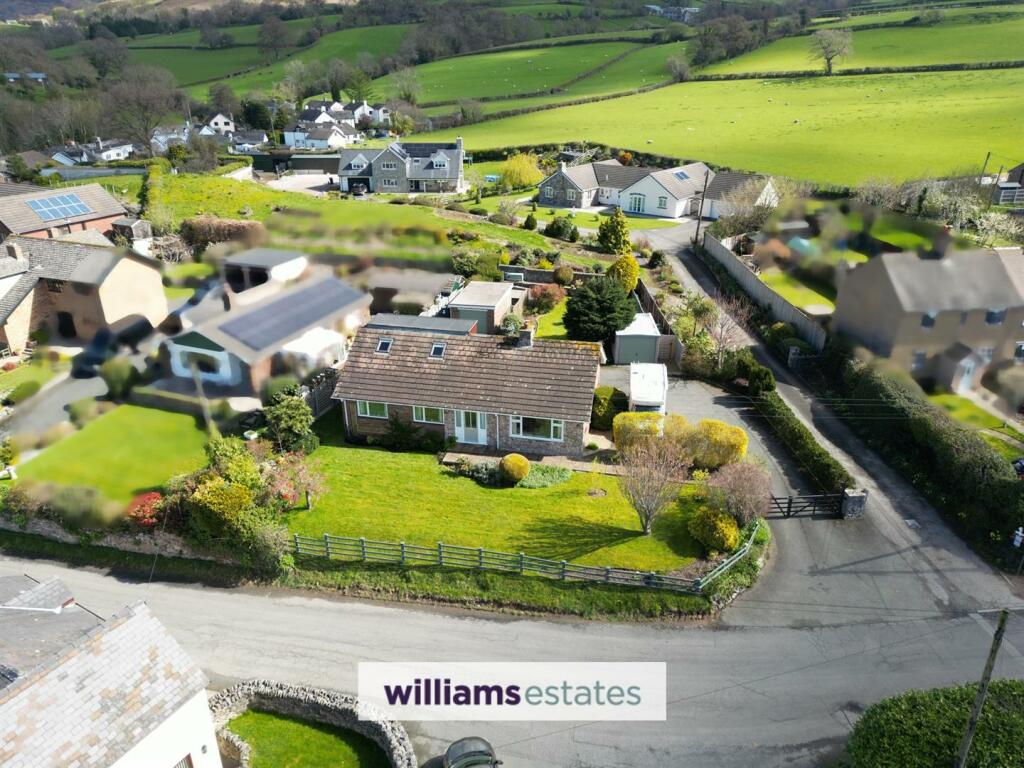
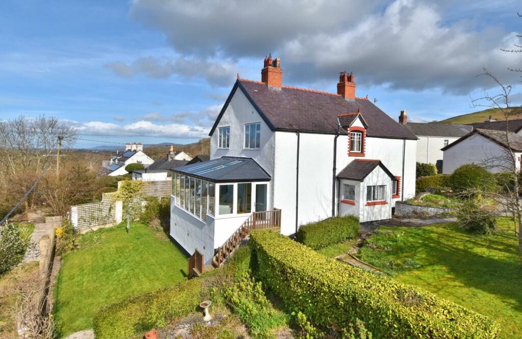
Properties For Sale in the Area
Graigfechan
Graigfechan
0.12 km away
Graigfechan
0.19 km away
Graigfechan
0.24 km away
Ruthin
0.26 km away
Graigfechan
0.33 km away
Properties To Let in the Area
 We couldn’t find properties to let in the area for this property.
Schools
| Name | Type | Postcode | Distance | Rating |
|---|---|---|---|---|
| Ysgol Pentrecelyn | Nursery, Primary | LL15 2HG | 1.35 km | Not rated |
| Ysgol Llanfair Dyffryn Clwyd | Nursery, Primary | LL15 2RU | 1.83 km | Not rated |
| Ysgol Brynhyfryd | Secondary, Post 16 | LL15 1EG | 4.33 km | Not rated |
| Ysgol Pen Barras | Nursery, Primary | LL15 1DY | 4.47 km | Not rated |
| Ruthin School | Independent | LL15 1EE | 4.64 km | Not rated |
Transport
Bus Stops & Stations
Details provided by Department for Transport
| Name | Distance |
|---|---|
| Maes Hyfryd, B5429 | 0.23 km |
| Three Pidgeons Inn, B6429 | 0.29 km |
| Capel Bethel, B5429 | 0.85 km |
| Post Office, B5429 | 1.02 km |
| Pentrecelyn School, B5429 | 1.35 km |
Nearest Motorway
Details provided by Department for Transport
| Name | Distance |
|---|---|
| M53 | 31.56 km |
Coverage
- Average Broadband Speed:
-
1mb Basic
-
64mb Superfast
-
64mb Overall
- Mobile Coverage:
-
EEGood
-
O2Poor
-
ThreeGood
-
VodafoneOkay
Recently Sold Properties in the Area
| Address | Property Type | Distance | Price | Completed |
|---|---|---|---|---|
|
Arosfa Graigfechan, Ruthin, LL15 2EY |
Terraced | 69 metres away | £160,000 | 8 months ago |
|
Bryn Y Gwynt Graigfechan, Ruthin, LL15 2EY |
Detached | 0.15 km away | £411,000 | 10 months ago |
Important Notice - This report is intended for general informational purposes only and should act only as a guide. The report is produced automatically on behalf of Coopers Estate Agents - Coventry by Street Insights, a product of Street Systems Ltd. Street Systems maintains and aggregates data from multiple public data sources and whilst every effort is made to keep information up to date and accurate, we make no representations or warranties of any kind about the accuracy, reliability or completeness of the information contained within this report for any purpose. Any reliance you place on the data contained within this report is strictly at your own risk. In no event will Coopers Estate Agents - Coventry or Street Systems Ltd be liable for any loss or damage including without limitation, indirect or consequential loss or damage, or any loss or damage whatsoever arising from loss of data or profits arising out of, or in connection with, the use of this report.
This report contains public sector information licensed under the Open Government License v3.0
Transaction data and HPI data is produced by HM Land Registry. Crown copyright and database rights 2024