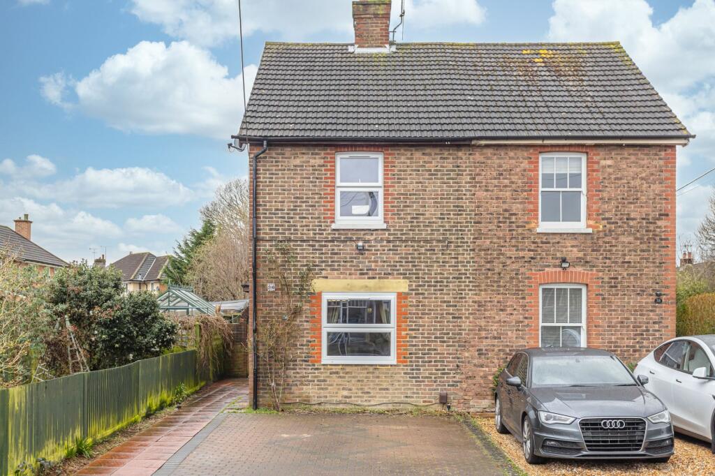
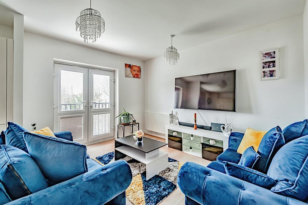
Property Information Report

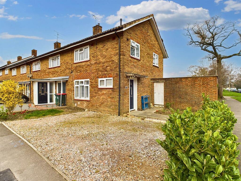
Crossways
Crawley, RH10

Key Facts
About Us

Let us Inspire you
Are you considering selling or letting in Crawley or the surrounding areas? Would you like to deal with property professionals, who have lived and worked in the area for many years?
If you are, we guarantee you will be impressed with our service. We are so confident that you will love our honest and pro-active approach that we don't need to tie you into restrictive sole agency agreements!
Find out more at our website
Title Plan
 Contains OS data © Crown copyright 2024
Title Information
Details provided by the Land Registry
- Title Number
- WSX60490
- Plot Size
- 0.07 acres (266 sq metres)
Street View
House Prices in Crawley
Last 12 months
-
Average Price Change
£10,902
Decreased by 3%
-
Terraced Price Change
£11,485
Decreased by 4%
Average House Prices
Last 12 months for all property types.
Since - March 2019
-
Average Price Change
£32,382
Increased by 12%
-
Terraced Price Change
£38,270
Increased by 14%
Average House Prices
Since 2019 for all property types
EPC

EPC Information
Details taken from the EPC register
- Date
- 2024-04-10
- Valid Until
- 2034-04-09
- Energy Efficiency - Current
- 64
- Energy Efficiency - Potential
- 80
- Environmental Impact - Current
- 62
- Environmental Impact - Potential
- 79
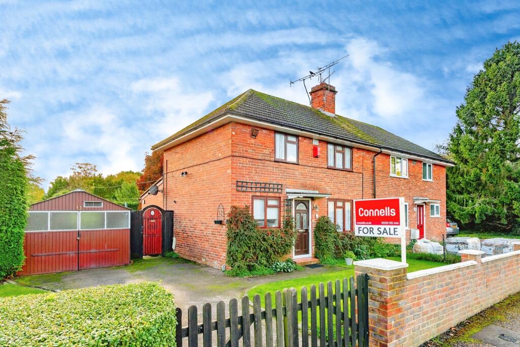
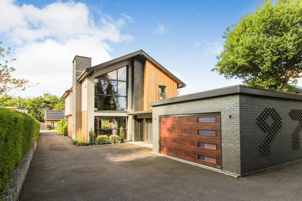
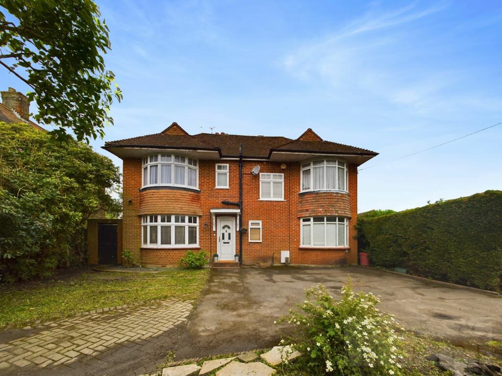
Properties For Sale in the Area
Crossways
0.11 km away
West Way
0.21 km away
Three Bridges Road
0.32 km away
North Road
0.34 km away
North Road
0.34 km away
Forge Road
0.35 km away
Recently Sold Properties in the Area
| Address | Property Type | Distance | Price | Completed |
|---|---|---|---|---|
|
8 Crossways Crawley, RH10 1QH |
Terraced | 35 metres away | £375,000 | 7 months ago |
|
76 Gales Drive Crawley, RH10 1PD |
Detached | 0.19 km away | £405,000 | 8 months ago |
|
30 Punch Copse Road Crawley, RH10 1QZ |
Terraced | 0.22 km away | £450,000 | 9 months ago |
|
54 Punch Copse Road Crawley, RH10 1QZ |
Semi-Detached | 0.29 km away | £358,000 | 5 months ago |
|
20 Ridgeside Crawley, RH10 1PB |
Terraced | 0.34 km away | £370,000 | 7 months ago |
|
15 Judith Parsons Court, Forge Road Crawley, RH10 1NL |
Flats/Maisonettes | 0.35 km away | £98,000 | 10 months ago |
|
153 Three Bridges Road Crawley, RH10 1JT |
Detached | 0.38 km away | £724,000 | 6 months ago |
|
47 North Road Crawley, RH10 1JU |
Detached | 0.40 km away | £359,000 | 11 months ago |
|
108 Hazelwick Road Crawley, RH10 1NH |
Semi-Detached | 0.40 km away | £330,000 | 8 months ago |
|
11 North Road Crawley, RH10 1JU |
Terraced | 0.41 km away | £325,000 | 3 months ago |
Schools
| Name | Type | Postcode | Distance | Rating |
|---|---|---|---|---|
| Three Bridges Primary School | Special, Nursery | RH10 1QG | 0.22 km | Good |
| Hazelwick School | Secondary, Post 16 | RH10 1SX | 0.36 km | Good |
| Northgate Primary School | Special, Nursery | RH10 8DX | 0.81 km | Good |
| St Andrew's CofE Primary School | Primary | RH10 6NU | 1.18 km | Good |
| Pound Hill Junior School, Crawley | Primary | RH10 7EB | 1.26 km | Good |
Transport
Bus Stops & Stations
Details provided by Department for Transport
| Name | Distance |
|---|---|
| Crossways Close | 0.10 km |
| Crossways, Gales Drive | 0.14 km |
| Mitchells Road | 0.27 km |
| North Road | 0.31 km |
| Artel Croft, Three Bridges Road | 0.32 km |
Train Stations
Details provided by Department for Transport
| Name | Distance |
|---|---|
| Three Bridges Rail Station | 0.82 km |
| Crawley Rail Station | 1.18 km |
| Ifield Rail Station | 2.97 km |
| Gatwick Airport Rail Station | 4.27 km |
Nearest Motorway
Details provided by Department for Transport
| Name | Distance |
|---|---|
| M23 | 2.55 km |
Airports
Details provided by Department for Transport
| Name | Distance |
|---|---|
| London Gatwick Airport | 4.65 km |
| Biggin Hill Airport | 27.81 km |
| Shoreham Brighton City Airport | 32.80 km |
| London Heathrow Airport | 42.50 km |
| London Heathrow Airport | 44.10 km |
Coverage
- Average Broadband Speed:
-
15mb Basic
-
80mb Superfast
-
1000mb Ultrafast
-
1000mb Overall
- Mobile Coverage:
-
EEGood
-
O2Good
-
ThreeOkay
-
VodafoneOkay
Important Notice - This report is intended for general informational purposes only and should act only as a guide. The report is produced automatically on behalf of Inspire Estate Agents - Crawley by Street Insights, a product of Street Systems Ltd. Street Systems maintains and aggregates data from multiple public data sources and whilst every effort is made to keep information up to date and accurate, we make no representations or warranties of any kind about the accuracy, reliability or completeness of the information contained within this report for any purpose. Any reliance you place on the data contained within this report is strictly at your own risk. In no event will Inspire Estate Agents - Crawley or Street Systems Ltd be liable for any loss or damage including without limitation, indirect or consequential loss or damage, or any loss or damage whatsoever arising from loss of data or profits arising out of, or in connection with, the use of this report.
This report contains public sector information licensed under the Open Government License v3.0
Transaction data and HPI data is produced by HM Land Registry. Crown copyright and database rights 2024