Property Information Report

North Street
Horsham, RH12
Last Sold - Feb, 2019

Key Facts
No lease data available
About Us

Let us Inspire you
Are you considering selling or letting in Crawley or the surrounding areas? Would you like to deal with property professionals, who have lived and worked in the area for many years?
If you are, we guarantee you will be impressed with our service. We are so confident that you will love our honest and pro-active approach that we don't need to tie you into restrictive sole agency agreements!
Find out more at our website
Title Plan
 We couldn’t find a title plan for this property.
Street View
House Prices in Horsham
Last 12 months
-
Average Price Change
£3,072
Increased by 1%
-
Flats/Maisonettes Price Change
£3,724
Decreased by 2%
Average House Prices
Last 12 months for all property types.
Since - June 2019
-
Average Price Change
£51,275
Increased by 14%
-
Flats/Maisonettes Price Change
£10,014
Increased by 5%
Average House Prices
Since 2019 for all property types
EPC

EPC Information
Details taken from the EPC register
- Date
- 2018-12-19
- Valid Until
- 2028-12-18
- Energy Efficiency - Current
- 53
- Energy Efficiency - Potential
- 53
- Environmental Impact - Current
- 58
- Environmental Impact - Potential
- 58
Properties For Sale in the Area
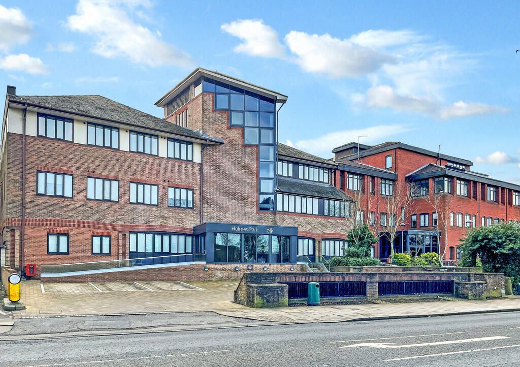
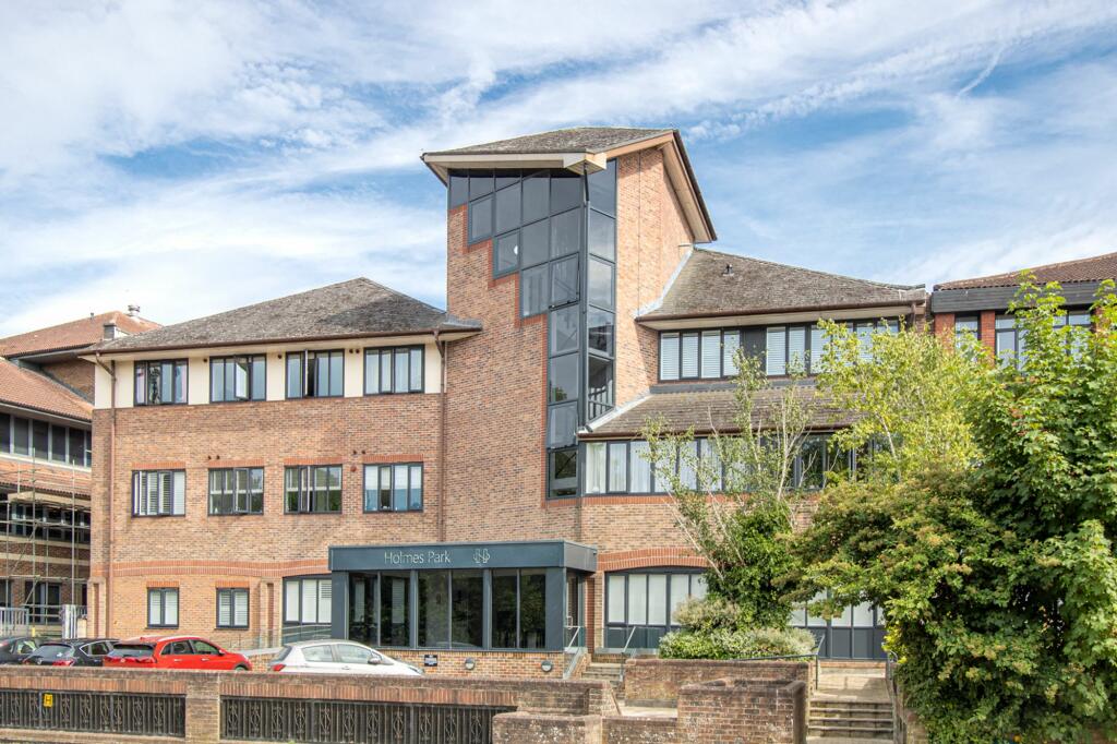
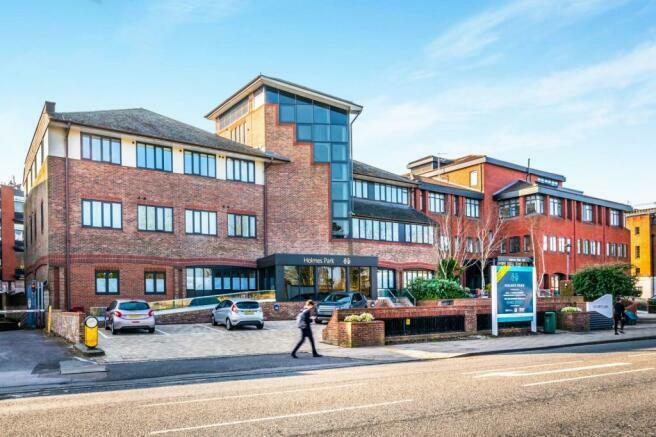
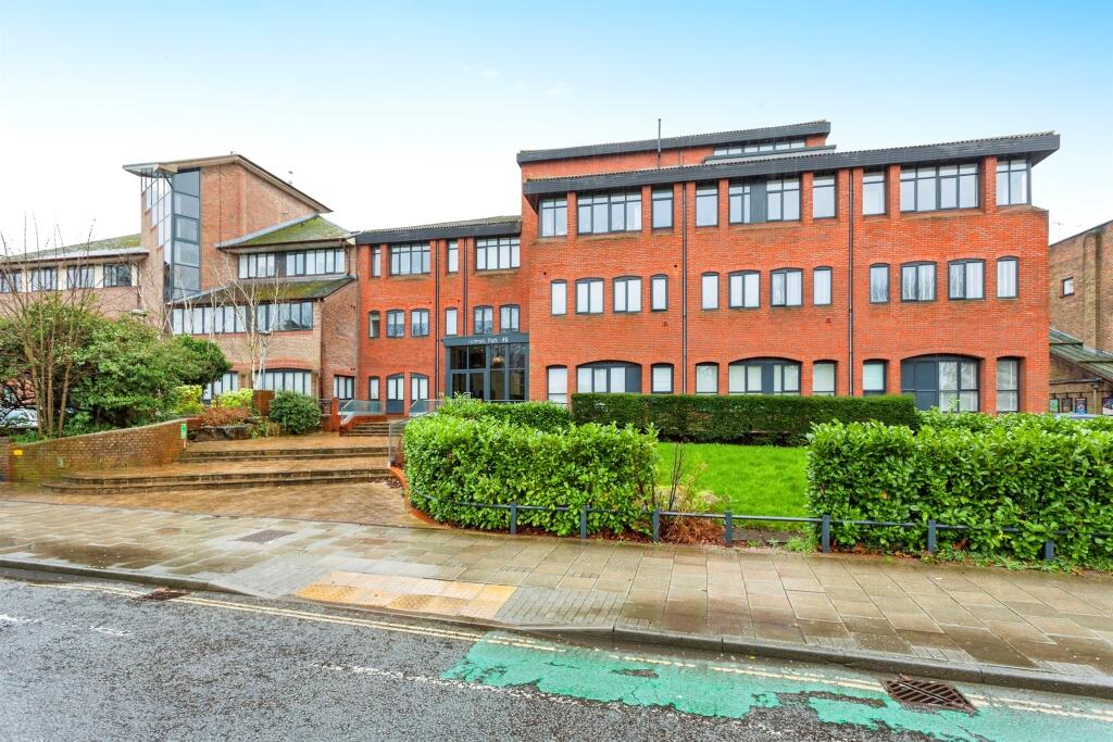
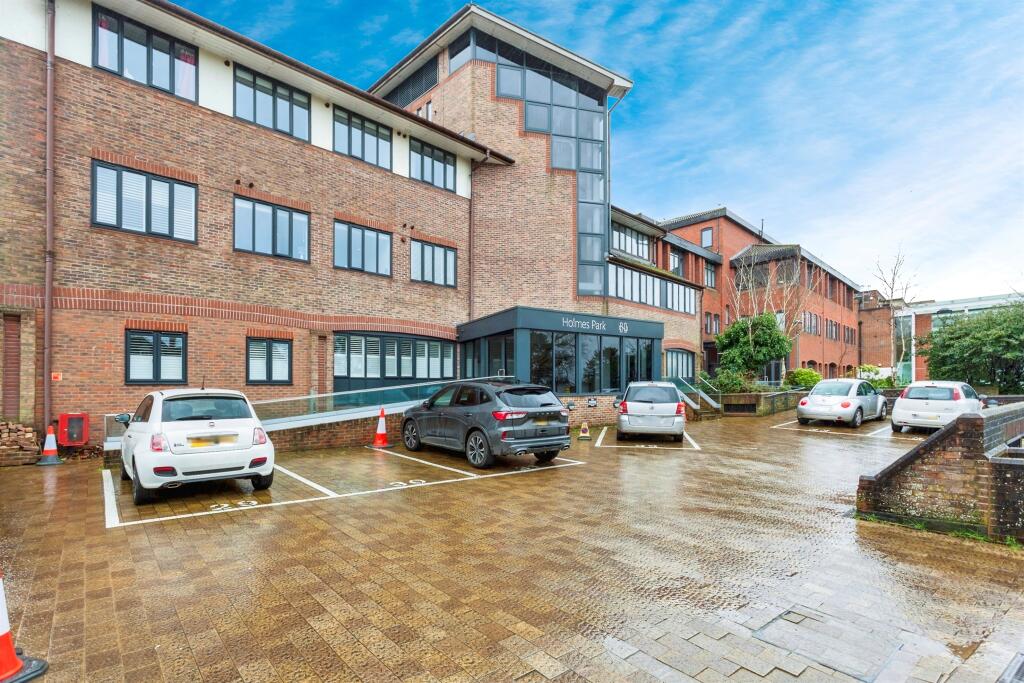
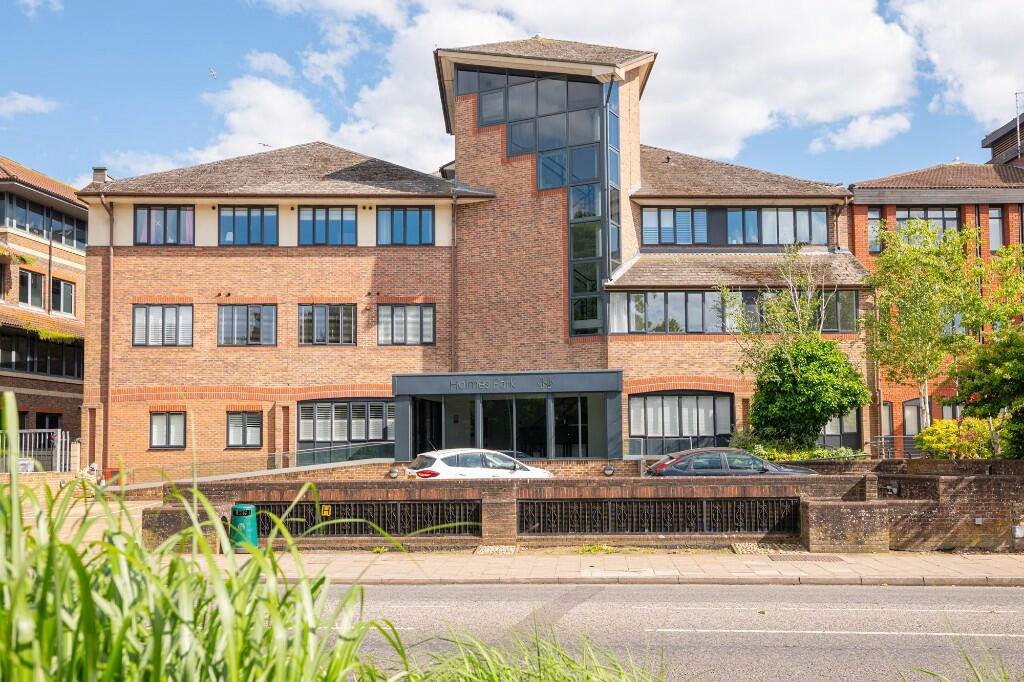
Holmes Park
North Street
North Street
North Street
Holmes Park
North Street
Recently Sold Properties in the Area
| Address | Property Type | Distance | Price | Completed |
|---|---|---|---|---|
|
81 Holmes Park, North Street Horsham, RH12 1FA |
Flats/Maisonettes | away | £180,000 | 1 month ago |
|
25 Holmes Park, North Street Horsham, RH12 1FJ |
Flats/Maisonettes | away | £170,000 | 5 months ago |
|
4 Holmes Park, North Street Horsham, RH12 1FJ |
Flats/Maisonettes | away | £190,000 | 4 months ago |
|
27 Holmes Park, North Street Horsham, RH12 1FJ |
Flats/Maisonettes | away | £197,000 | 5 months ago |
|
36 Holmes Park, North Street Horsham, RH12 1FJ |
Flats/Maisonettes | away | £235,000 | 11 months ago |
|
Scots Pine, Chichester Terrace Horsham, RH12 1DB |
Semi-Detached | 80 metres away | £550,000 | 10 months ago |
|
Corner Mews, Chichester Terrace Horsham, RH12 1DB |
Flats/Maisonettes | 92 metres away | £350,000 | 3 months ago |
|
2 Norfolk Terrace Horsham, RH12 1DA |
Semi-Detached | 0.15 km away | £501,000 | 6 months ago |
|
32 Park Terrace West Horsham, RH12 1HY |
Semi-Detached | 0.21 km away | £320,000 | 4 months ago |
|
8 Precision Court, Park Terrace East Horsham, RH13 5DJ |
Flats/Maisonettes | 0.22 km away | £285,000 | 4 months ago |
Schools
| Name | Type | Postcode | Distance | Rating |
|---|---|---|---|---|
| St Mary's CofE (Aided) Primary School | Primary | RH12 1JL | 0.82 km | Good |
| Kingslea Primary School | Primary | RH13 5PS | 0.84 km | Good |
| Horsham Nursery School | Nursery, Primary | RH13 5UT | 0.86 km | Good |
| Millais School | Secondary | RH13 5HR | 1.06 km | Outstanding |
| Trafalgar Community Infant School | Primary | RH12 2JF | 1.07 km | Good |
Transport
Bus Stops & Stations
Details provided by Department for Transport
| Name | Distance |
|---|---|
| Wellington Road | 0.18 km |
| Railway Station, North Street | 0.19 km |
| The Bedford, Station Road | 0.33 km |
| Park Way | 0.35 km |
| Denne Road | 0.39 km |
Train Stations
Details provided by Department for Transport
| Name | Distance |
|---|---|
| Horsham Rail Station | 0.29 km |
| Littlehaven Rail Station | 1.97 km |
| Warnham Rail Station | 3.19 km |
| Christs Hospital Rail Station | 3.26 km |
Nearest Motorway
Details provided by Department for Transport
| Name | Distance |
|---|---|
| M23 | 9.16 km |
Coverage
- Average Broadband Speed:
-
21mb Basic
-
80mb Superfast
-
1000mb Ultrafast
-
1000mb Overall
- Mobile Coverage:
-
EEGood
-
O2Good
-
ThreeGood
-
VodafoneGood
Important Notice - This report is intended for general informational purposes only and should act only as a guide. The report is produced automatically on behalf of Inspire Estate Agents - Crawley by Street Insights, a product of Street Systems Ltd. Street Systems maintains and aggregates data from multiple public data sources and whilst every effort is made to keep information up to date and accurate, we make no representations or warranties of any kind about the accuracy, reliability or completeness of the information contained within this report for any purpose. Any reliance you place on the data contained within this report is strictly at your own risk. In no event will Inspire Estate Agents - Crawley or Street Systems Ltd be liable for any loss or damage including without limitation, indirect or consequential loss or damage, or any loss or damage whatsoever arising from loss of data or profits arising out of, or in connection with, the use of this report.
This report contains public sector information licensed under the Open Government License v3.0
Transaction data and HPI data is produced by HM Land Registry. Crown copyright and database rights 2024