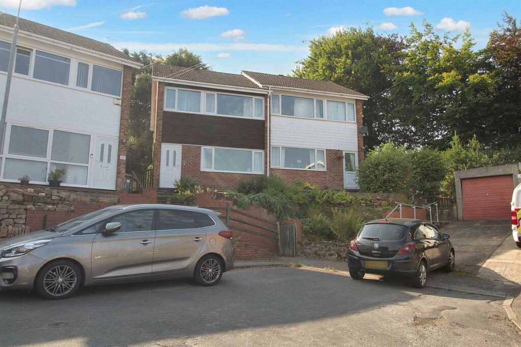
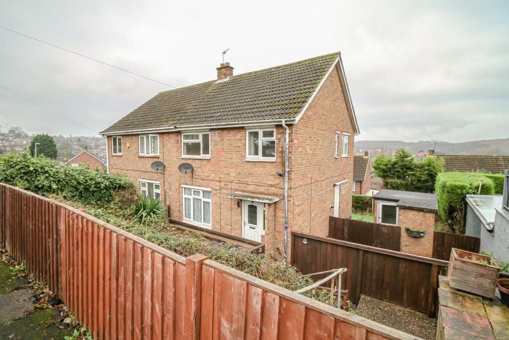
Property Information Report
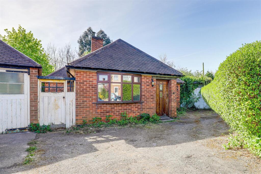
Salamander Close
Carlton, Nottingham, NG4
Estimated Value - £213,000
Last Sold - Mar, 1998
Key Facts
Title Plan
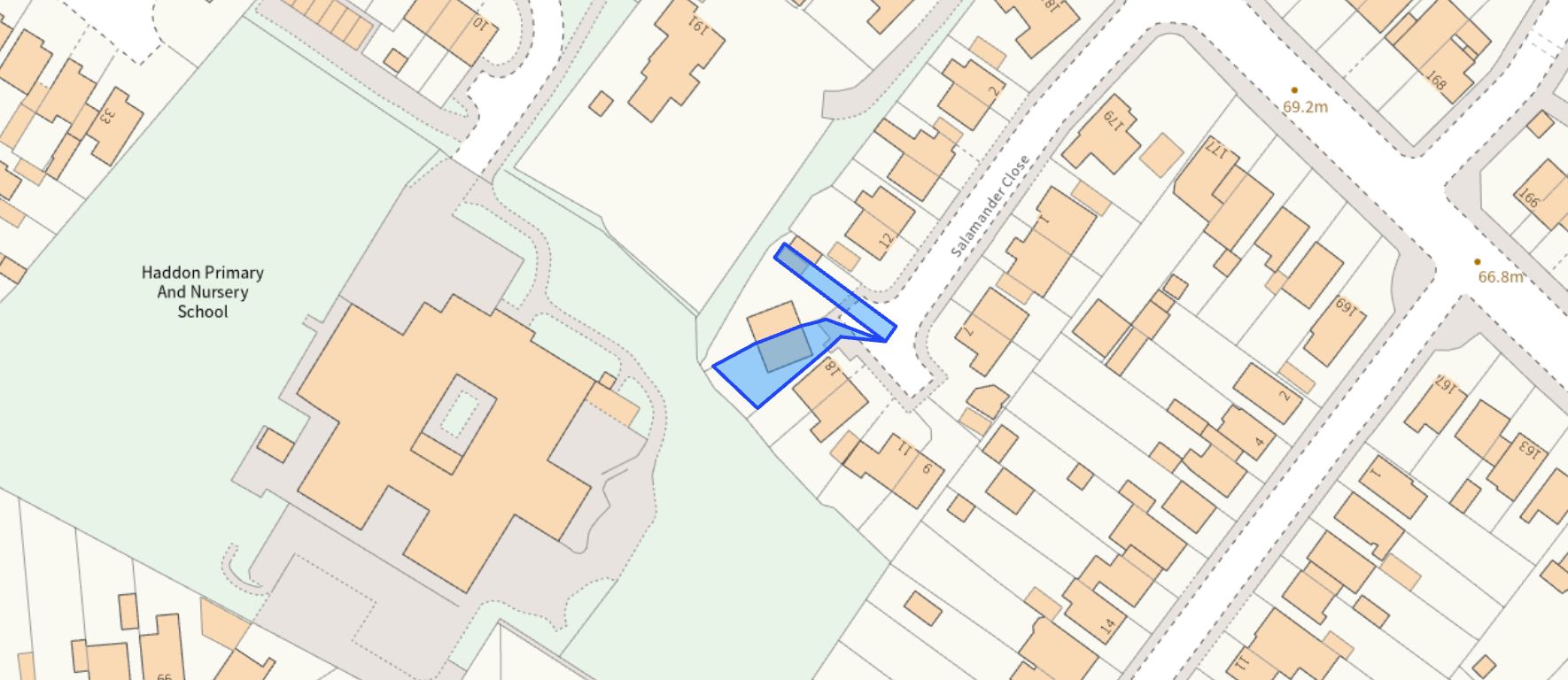 Contains OS data © Crown copyright 2025
Title Information
Details provided by the Land Registry
- Title Number
- NT23751
- Plot Size
- 0.06 acres (240 sq metres)
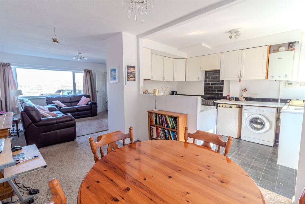
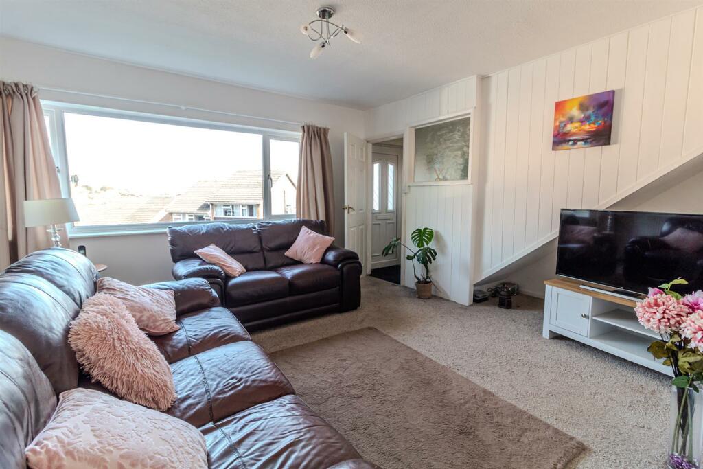
Street View
House Prices in Gedling
Last 12 months
-
Average Price Change
£16,397
Increased by 7%
-
Semi-Detached Price Change
£16,420
Increased by 7%
Average House Prices
Last 12 months for all property types.
Since - April 2020
-
Average Price Change
£68,256
Increased by 37%
-
Semi-Detached Price Change
£66,693
Increased by 39%
Average House Prices
Since 2020 for all property types
EPC

EPC Information
Details taken from the EPC register
- Date
- 2024-09-17
- Valid Until
- 2034-09-16
- Energy Efficiency - Current
- 69
- Energy Efficiency - Potential
- 85
- Environmental Impact - Current
- 66
- Environmental Impact - Potential
- 83
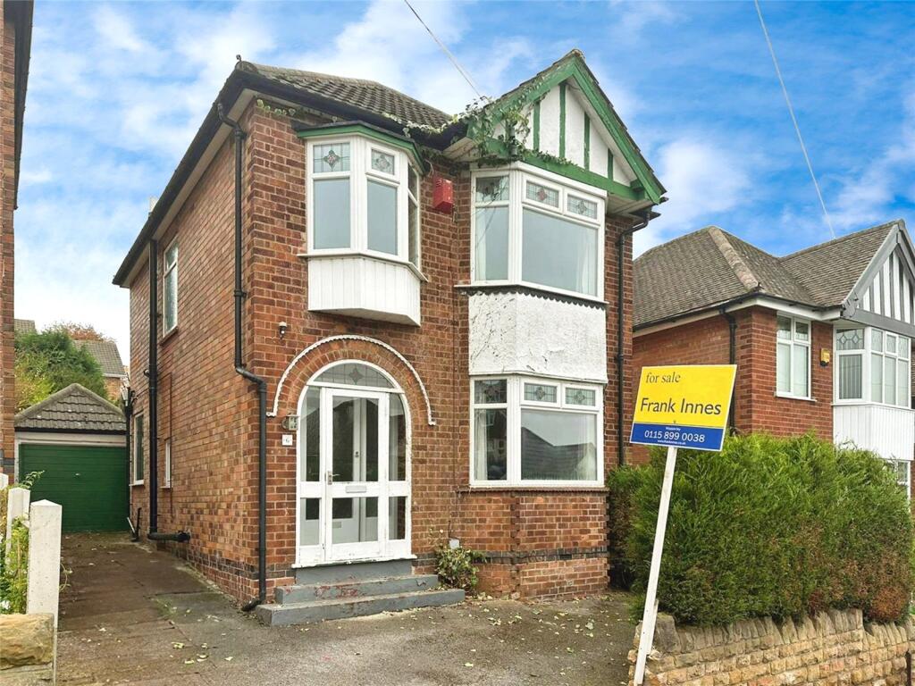
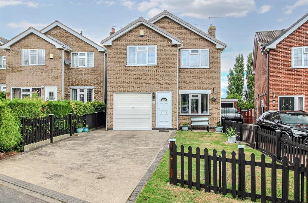
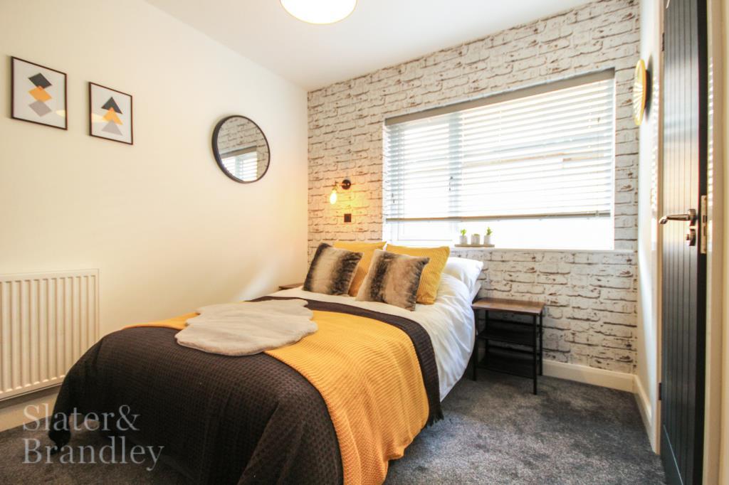
Properties For Sale in the Area
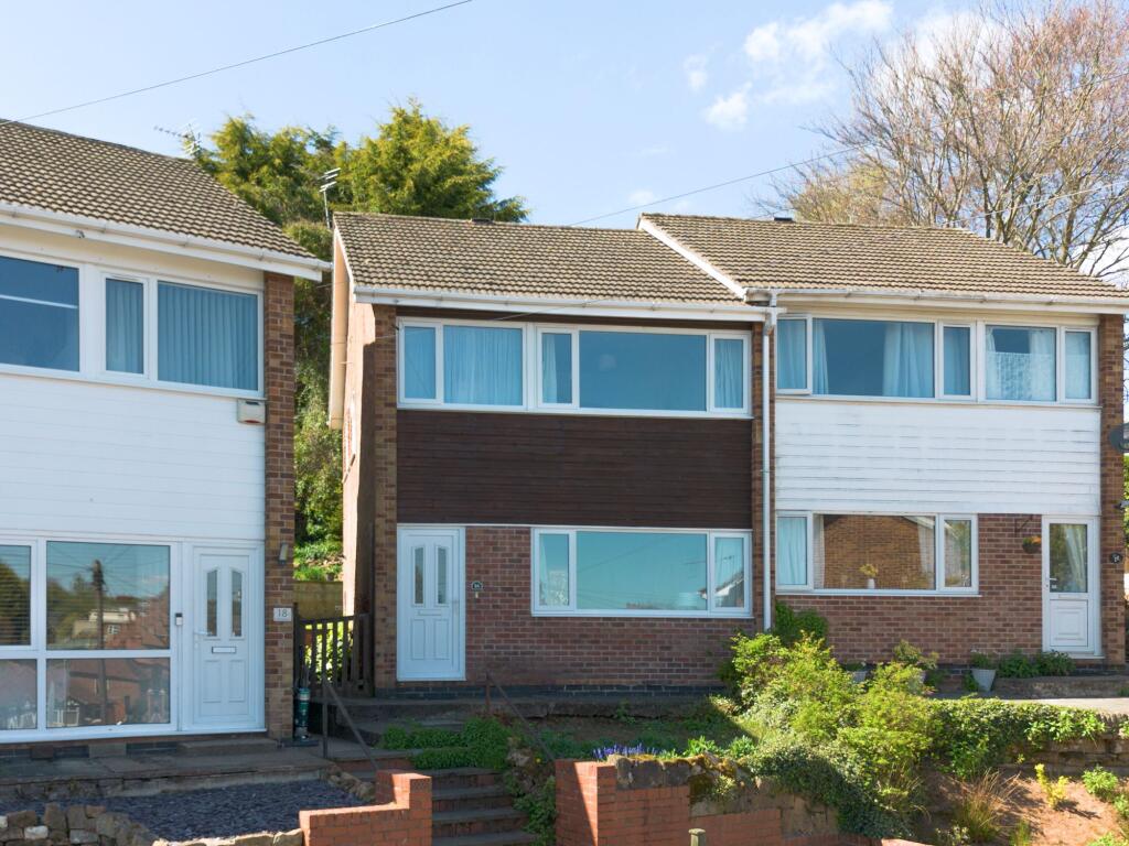
Salamander Close
Hartington Avenue
77 metres away
Haddon Close
77 metres away
Veronica Drive
0.11 km away
Hartington Avenue
0.11 km away
Grassingdale Close
0.14 km away
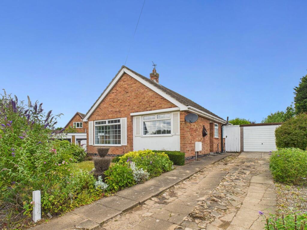
Properties To Let in the Area
Westdale Lane
0.12 km away
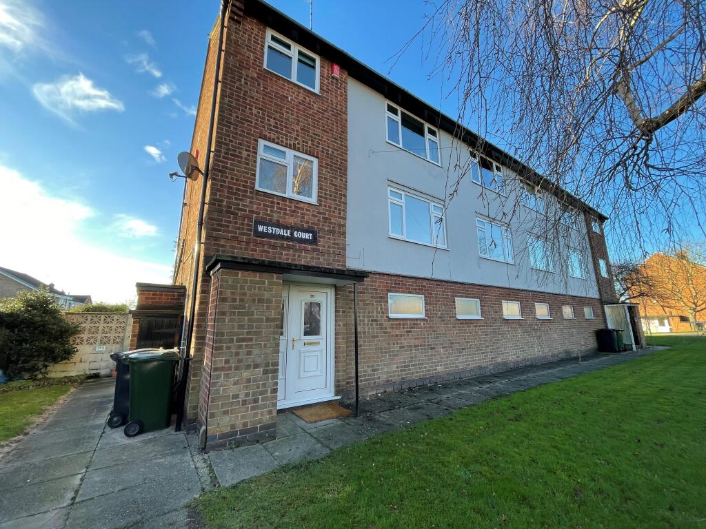
Westdale Court
0.29 km away

Linby Close
0.46 km away
Perlethorpe Close
0.48 km away

Chesterfield Avenue
0.48 km away
Room 7
0.49 km away
Schools
| Name | Type | Postcode | Distance | Rating |
|---|---|---|---|---|
| Haddon Primary and Nursery School | Nursery, Primary | NG4 4GT | 80 metres | Good |
| Carlton Academy | Secondary, Post 16 | NG4 3SH | 0.57 km | Good |
| Phoenix Infant and Nursery School | Nursery, Primary | NG4 4EL | 0.62 km | Good |
| All Hallows CofE Primary School | Primary | NG4 3JZ | 0.78 km | Not rated |
| Priory Junior School | Primary | NG4 3LE | 0.81 km | Good |
Transport
Bus Stops & Stations
Details provided by Department for Transport
| Name | Distance |
|---|---|
| Hartington Avenue | 0.11 km |
| Roslyn Avenue | 0.25 km |
| Lascelles Avenue | 0.26 km |
| Bakewell Avenue | 0.34 km |
| St Michaels Avenue | 0.34 km |
Train Stations
Details provided by Department for Transport
| Name | Distance |
|---|---|
| Carlton Rail Station | 1.65 km |
| Netherfield Rail Station | 1.94 km |
| Burton Joyce Rail Station | 3.71 km |
| Nottingham Rail Station | 4.77 km |
| Radcliffe (Notts) Rail Station | 4.90 km |
Nearest Motorway
Details provided by Department for Transport
| Name | Distance |
|---|---|
| M1 | 9.52 km |
Coverage
- Average Broadband Speed:
-
10mb Basic
-
77mb Superfast
-
1800mb Ultrafast
-
1800mb Overall
- Mobile Coverage:
-
EEOkay
-
O2Good
-
ThreePoor
-
VodafoneOkay
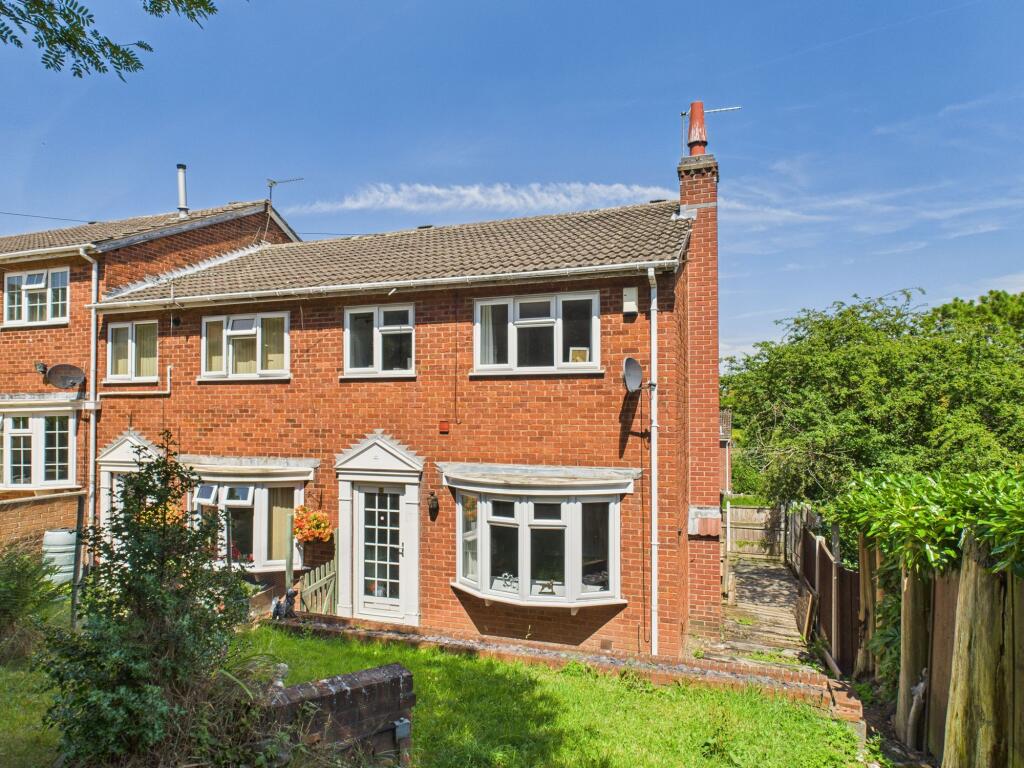
Recently Sold Properties in the Area
| Address | Property Type | Distance | Price | Completed |
|---|---|---|---|---|
|
169 Westdale Lane Carlton, Nottingham, NG4 4FL |
Detached | 95 metres away | £269,000 | 10 months ago |
|
21 Hartington Avenue Carlton, Nottingham, NG4 3NR |
Detached | 0.11 km away | £325,000 | 11 months ago |
|
54 Violet Road Carlton, Nottingham, NG4 3QP |
Detached | 0.15 km away | £200,000 | 8 months ago |
|
1 Veronica Drive Carlton, Nottingham, NG4 3QS |
Detached | 0.18 km away | £225,000 | 7 months ago |
|
9 Perlethorpe Avenue Gedling, Nottingham, NG4 4GH |
Semi-Detached | 0.18 km away | £185,000 | 4 months ago |
|
14 Perlethorpe Avenue Gedling, Nottingham, NG4 4GG |
Semi-Detached | 0.18 km away | £213,000 | 6 months ago |
|
20 Perlethorpe Avenue Gedling, Nottingham, NG4 4GG |
Semi-Detached | 0.20 km away | £200,000 | 4 months ago |
|
151 Westdale Lane Carlton, Nottingham, NG4 3NU |
Detached | 0.20 km away | £265,000 | 11 months ago |
|
11 Cantley Avenue Gedling, Nottingham, NG4 3PD |
Semi-Detached | 0.21 km away | £314,000 | 9 months ago |
|
6 Cantley Avenue Gedling, Nottingham, NG4 3PD |
Semi-Detached | 0.21 km away | £175,000 | 6 months ago |
Important Notice - This report is intended for general informational purposes only and should act only as a guide. The report is produced automatically on behalf of David James Estate Agents - Mapperley by Street Insights, a product of Street Systems Ltd. Street Systems maintains and aggregates data from multiple public data sources and whilst every effort is made to keep information up to date and accurate, we make no representations or warranties of any kind about the accuracy, reliability or completeness of the information contained within this report for any purpose. Any reliance you place on the data contained within this report is strictly at your own risk. In no event will David James Estate Agents - Mapperley or Street Systems Ltd be liable for any loss or damage including without limitation, indirect or consequential loss or damage, or any loss or damage whatsoever arising from loss of data or profits arising out of, or in connection with, the use of this report.
This report contains public sector information licensed under the Open Government License v3.0
Transaction data and HPI data is produced by HM Land Registry. Crown copyright and database rights 2025