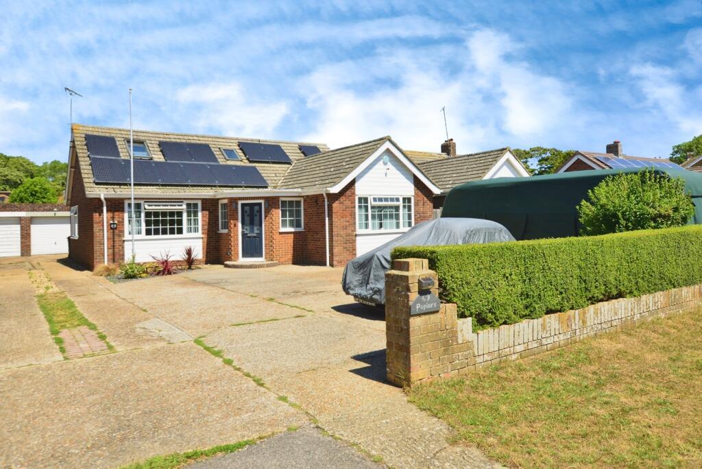
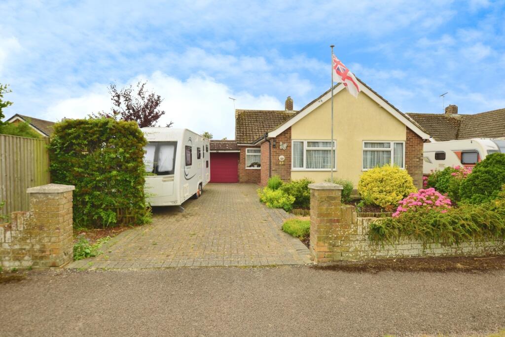
Buyer Information Report
52 Blenheim Road
Littlestone, New Romney, TN28 8PP
Estimated Value - £450,000
Estimated Rental Value - £1,575 PCM
Last Sold - Nov, 2024


Key Facts
Title Plan
 Contains OS data © Crown copyright 2025
Title Information
Details provided by the Land Registry
- Title Number
- K173742
- Plot Size
- 0.14 acres (570 sq metres)
Street View
Videos & Virtual Tours
House Prices in Folkestone and Hythe
Last 12 months
-
Average Price Change
£21,132
Increased by 7%
-
Detached Price Change
£29,247
Increased by 6%
Average House Prices
Last 12 months for all property types.
Since Last Sale - 21st November 2024
-
Average Price Change
£56,726
Increased by 22%
-
Detached Price Change
£86,239
Increased by 19%
Average House Prices
Since 2020 for all property types
EPC

EPC Information
Details taken from the EPC register
- Date
- 2021-09-15
- Valid Until
- 2031-09-14
- Energy Efficiency - Current
- 69
- Energy Efficiency - Potential
- 84
- Environmental Impact - Current
- 65
- Environmental Impact - Potential
- 81
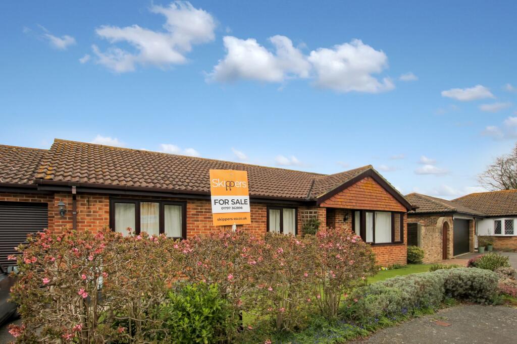
Properties For Sale in the Area
Blenheim Road
62 metres away
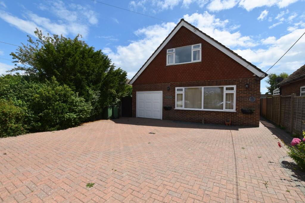
St. Andrews Road
86 metres away
Blenheim Road
92 metres away
Anne Roper Close
0.11 km away
Blenheim Road
0.11 km away
Anne Roper Close
0.12 km away
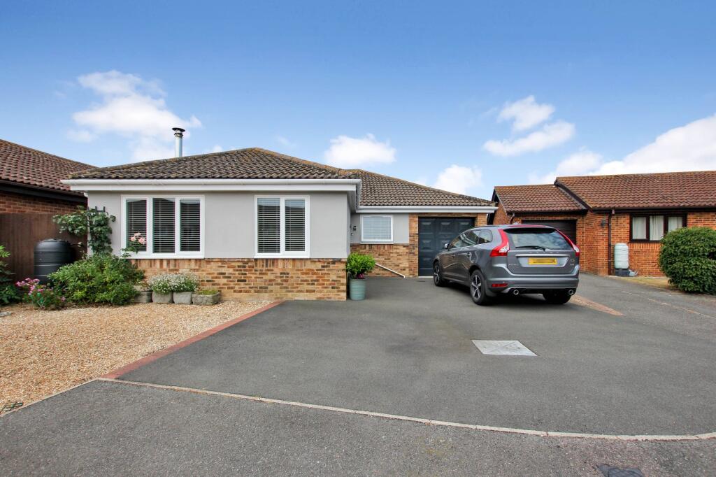
Properties To Let in the Area
Littlestone Road
0.42 km away
Victoria Road West
0.51 km away
Coast Road
0.58 km away
Marine Parade
0.58 km away
Wells Close
0.70 km away
Prime View New Romney TN28
0.71 km away
Schools
| Name | Type | Postcode | Distance | Rating |
|---|---|---|---|---|
| Lighthouse On the Marsh | Special | TN28 8LH | 0.67 km | Not rated |
| The Marsh Academy | Secondary, Post 16 | TN28 8BB | 1.08 km | Good |
| St Nicholas Church of England Primary Academy | Primary | TN28 8BP | 1.40 km | Good |
| Greatstone Primary School | Nursery, Primary | TN28 8SY | 2.36 km | Good |
Transport
Bus Stops & Stations
Details provided by Department for Transport
| Name | Distance |
|---|---|
| St Andrew'S Road | 0.22 km |
| Madeira Road | 0.45 km |
| Light Railway Station, Littlestone Road | 0.50 km |
| Greenly Way | 0.59 km |
| Queens Road | 0.65 km |
Nearest Motorway
Details provided by Department for Transport
| Name | Distance |
|---|---|
| M20 | 13.77 km |
Airports
Details provided by Department for Transport
| Name | Distance |
|---|---|
| Lydd London Ashford Airport | 3.89 km |
| Kent International Airport | 48.85 km |
| London Southend Airport | 67.36 km |
| Biggin Hill Airport | 75.39 km |
| London Gatwick Airport | 81.86 km |
Tram and Metro Stations
Details provided by Department for Transport
| Name | Distance |
|---|---|
| New Romney Station (Rhdr) | 0.52 km |
| Romney Warren Halt (Rhdr) | 1.35 km |
Coverage
- Average Broadband Speed:
-
11mb Basic
-
11mb Overall
- Mobile Coverage:
-
EEOkay
-
O2Good
-
ThreeOkay
-
VodafoneOkay
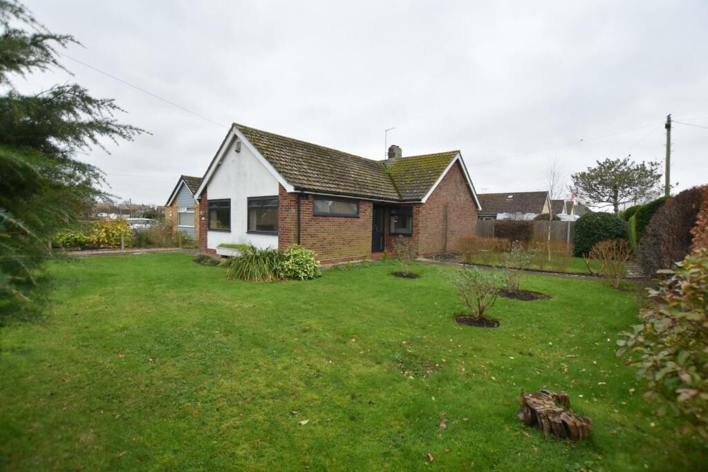
Recently Sold Properties in the Area
| Address | Property Type | Distance | Price | Completed |
|---|---|---|---|---|
|
52 Blenheim Road Littlestone, New Romney, TN28 8PP |
Detached | away | £420,000 | 8 months ago |
|
1 Cherry Gardens Littlestone, New Romney, TN28 8QR |
Semi-Detached | 0.11 km away | £440,000 | 10 months ago |
|
5 Cherry Gardens Littlestone, New Romney, TN28 8QR |
Semi-Detached | 0.12 km away | £345,000 | 6 months ago |
|
43 St. Nicholas Road Littlestone, New Romney, TN28 8PU |
Detached | 0.17 km away | £375,000 | 4 months ago |
|
80 St. Nicholas Road Littlestone, New Romney, TN28 8QA |
Semi-Detached | 0.23 km away | £355,000 | 6 months ago |
|
77 Littlestone Road Littlestone, New Romney, TN28 8LP |
Semi-Detached | 0.25 km away | £410,000 | 6 months ago |
|
97 Queens Road Littlestone, New Romney, TN28 8LT |
Detached | 0.31 km away | £405,000 | 10 months ago |
|
6 St. Nicholas Road Littlestone, New Romney, TN28 8PT |
Detached | 0.32 km away | £577,000 | 4 months ago |
|
129 Littlestone Road Littlestone, New Romney, TN28 8NH |
Detached | 0.33 km away | £418,000 | 11 months ago |
|
59 Queens Road Littlestone, New Romney, TN28 8LS |
Detached | 0.34 km away | £465,000 | 9 months ago |
Important Notice - This report is intended for general informational purposes only and should act only as a guide. The report is produced automatically on behalf of Andrew & Co Estate Agents Ltd - New Romney by Street Insights, a product of Street Systems Ltd. Street Systems maintains and aggregates data from multiple public data sources and whilst every effort is made to keep information up to date and accurate, we make no representations or warranties of any kind about the accuracy, reliability or completeness of the information contained within this report for any purpose. Any reliance you place on the data contained within this report is strictly at your own risk. In no event will Andrew & Co Estate Agents Ltd - New Romney or Street Systems Ltd be liable for any loss or damage including without limitation, indirect or consequential loss or damage, or any loss or damage whatsoever arising from loss of data or profits arising out of, or in connection with, the use of this report.
This report contains public sector information licensed under the Open Government License v3.0
Transaction data and HPI data is produced by HM Land Registry. Crown copyright and database rights 2025