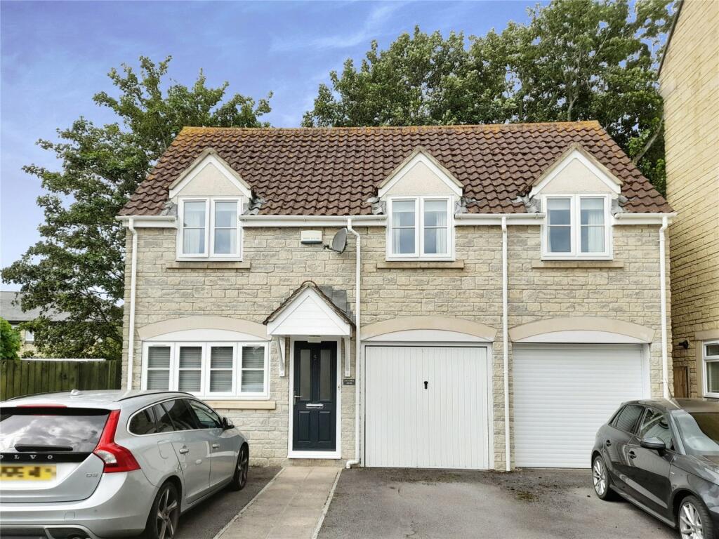
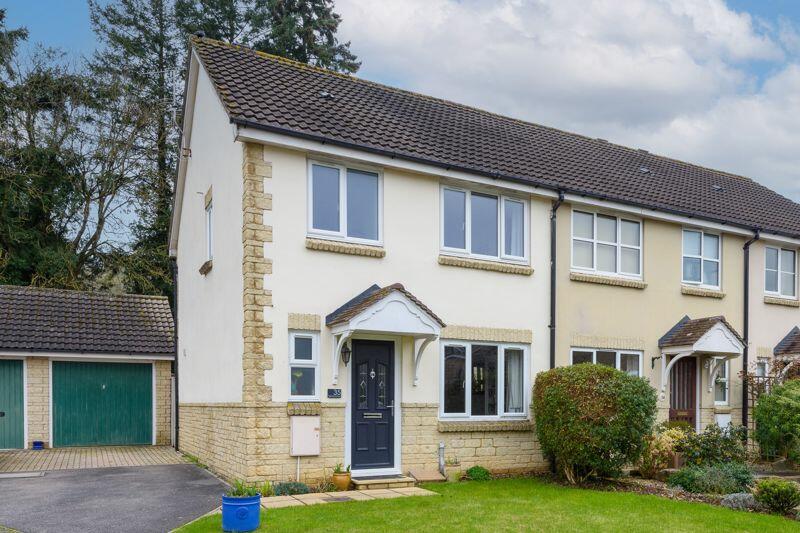
Property Information Report

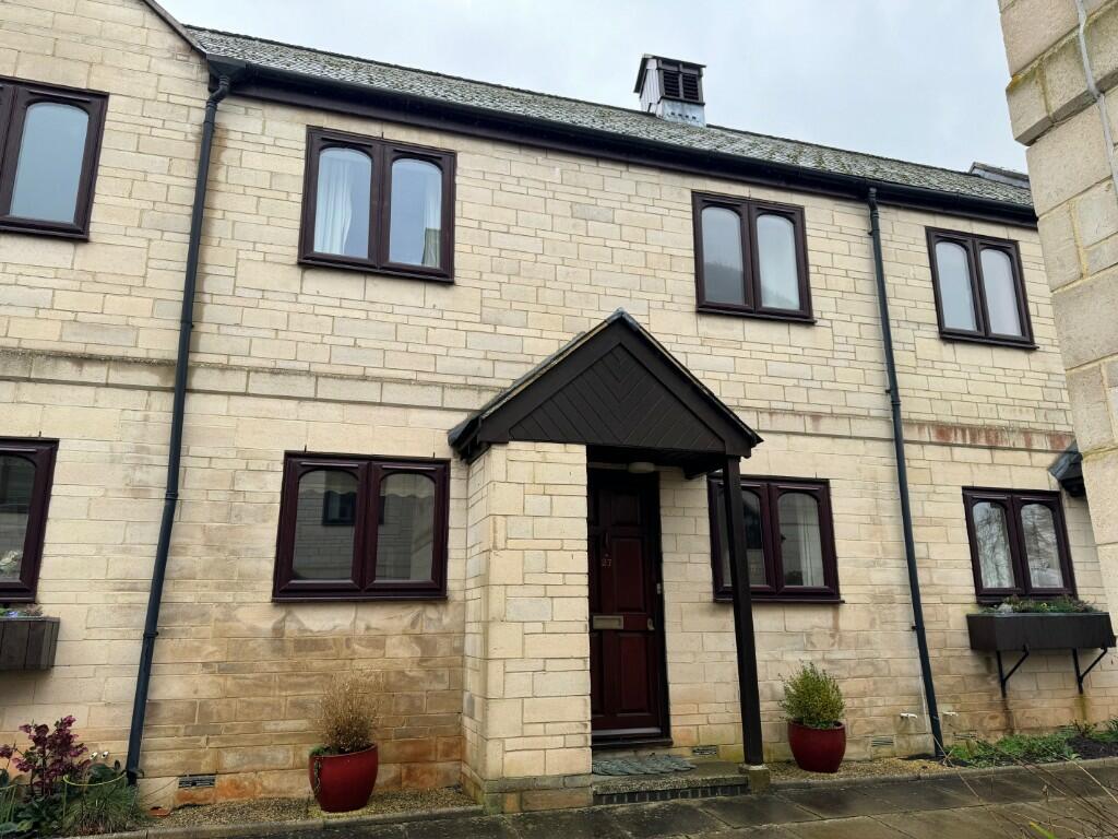
7 Spencers Orchard
Bradford-On-Avon, BA15 1TJ
Last Sold - Sep, 2023

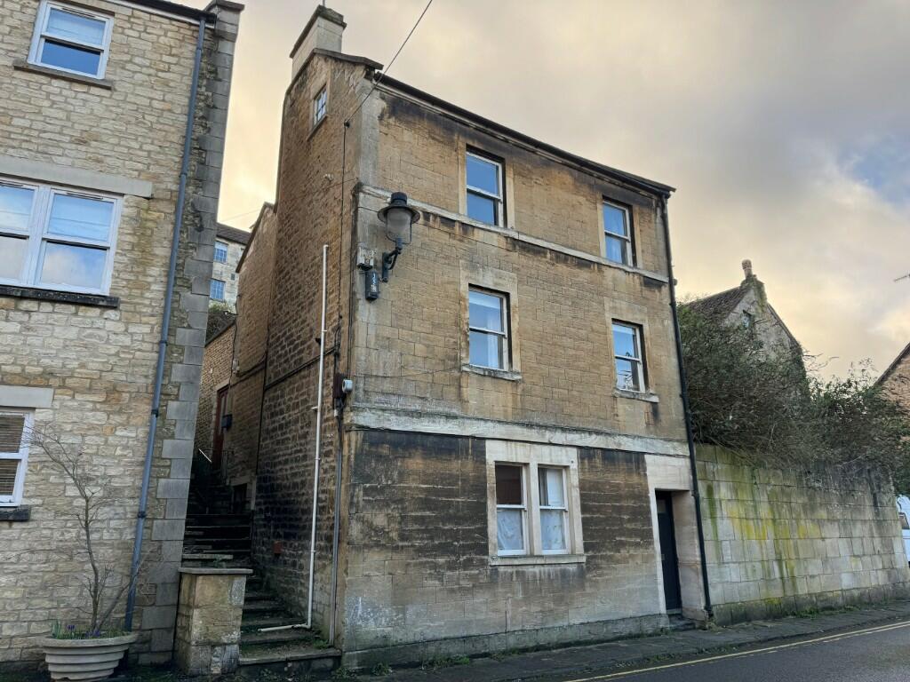
Properties To Let in the Area
Fitzmaurice Place
0.54 km away
Trowbridge Road
0.58 km away
Fitzmaurice Close
0.71 km away
St Margarets Street
0.88 km away
Bridge Street
0.92 km away
Rickfield
1.00 km away
Key Facts
Title Plan
 Contains OS data © Crown copyright 2024
Title Information
Details provided by the Land Registry
- Title Number
- WT126955
- Plot Size
- 0.08 acres (329 sq metres)
Street View
House Prices in Wiltshire
Last 12 months
-
Average Price Change
£8,247
Decreased by 2%
-
Detached Price Change
£11,287
Decreased by 2%
Average House Prices
Last 12 months for all property types.
Since Last Sale - 8th September 2023
-
Average Price Change
£45,647
Increased by 16%
-
Detached Price Change
£71,697
Increased by 17%
Average House Prices
Since 2019 for all property types
EPC

EPC Information
Details taken from the EPC register
- Date
- 2014-01-31
- Valid Until
- 2024-01-31
- Energy Efficiency - Current
- 63
- Energy Efficiency - Potential
- 78
- Environmental Impact - Current
- 60
- Environmental Impact - Potential
- 76
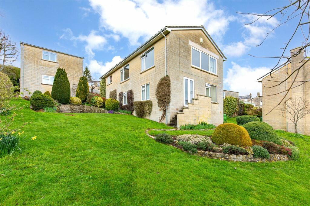
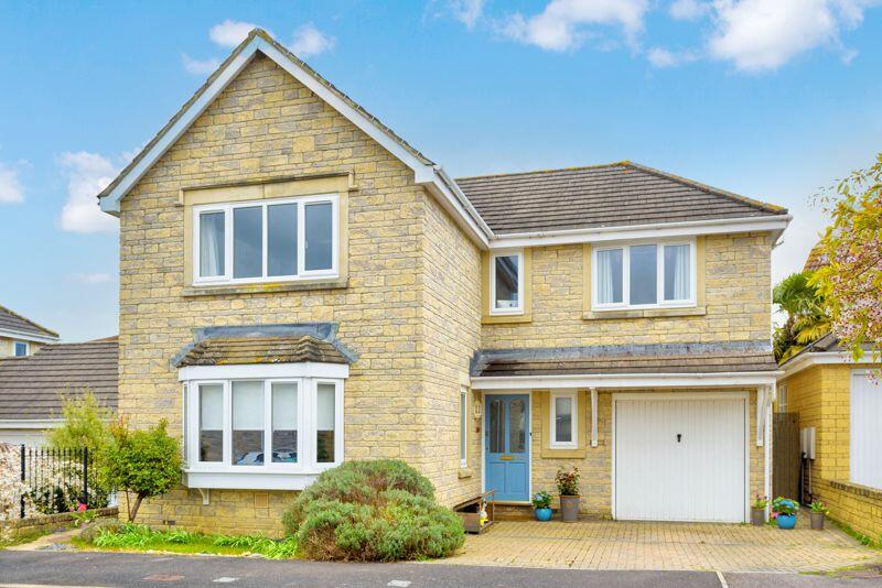
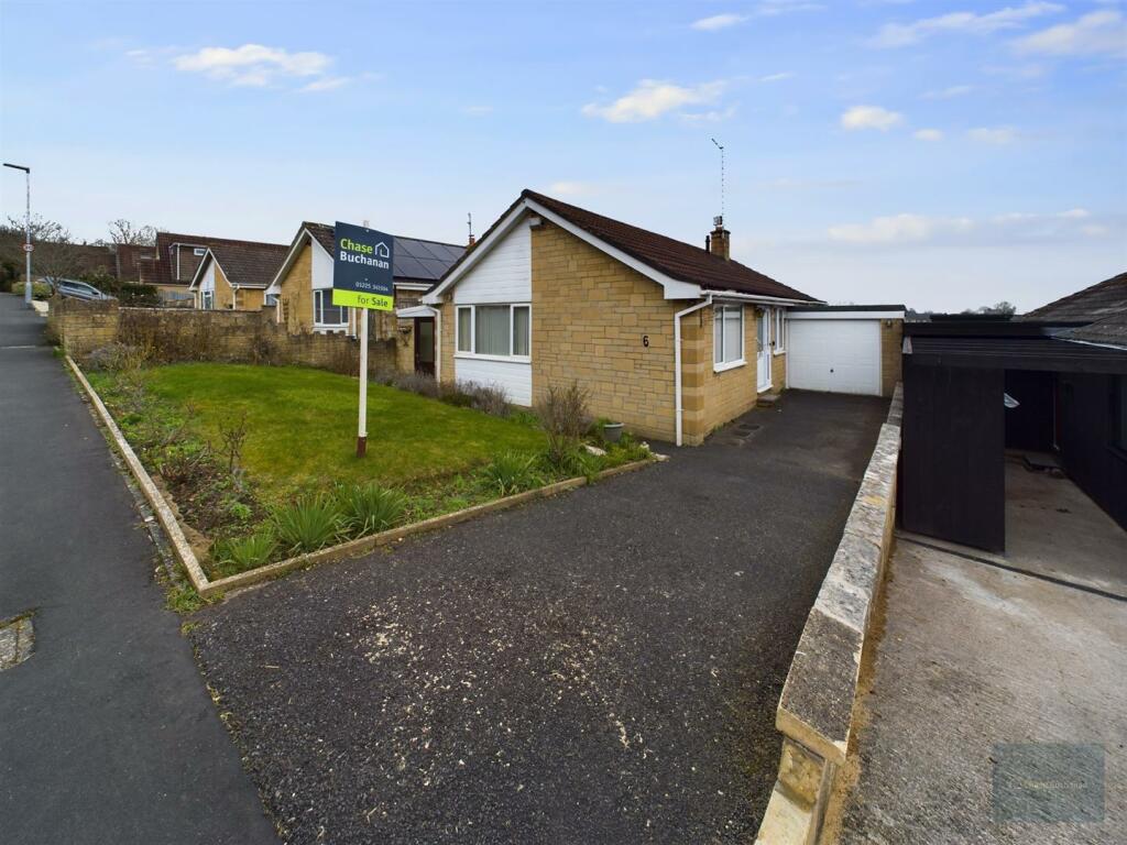
Properties For Sale in the Area

Spencers Orchard
36 metres away
Bradford on Avon
74 metres away
Baileys Barn
88 metres away
Bradford on Avon
0.12 km away
Bradford on Avon
0.14 km away
Elms Cross Drive
0.16 km away
Recently Sold Properties in the Area
| Address | Property Type | Distance | Price | Completed |
|---|---|---|---|---|
|
7 Spencers Orchard Bradford-On-Avon, BA15 1TJ |
Detached | away | £600,000 | 7 months ago |
|
31 Spencers Orchard Bradford-On-Avon, BA15 1TJ |
Terraced | 87 metres away | £355,000 | 8 months ago |
|
54 Spencers Orchard Bradford-On-Avon, BA15 1TJ |
Semi-Detached | 0.12 km away | £525,000 | 11 months ago |
|
13 Piplar Ground Bradford-On-Avon, BA15 1XF |
Detached | 0.22 km away | £575,000 | 6 months ago |
|
8 Kennet Gardens Bradford-On-Avon, BA15 1LT |
Terraced | 0.35 km away | £565,000 | 8 months ago |
|
55 Palairet Close Bradford-On-Avon, BA15 1US |
Semi-Detached | 0.39 km away | £395,000 | 11 months ago |
|
11 Southway Road Bradford-On-Avon, BA15 1UN |
Detached | 0.43 km away | £685,000 | 8 months ago |
|
22 Folly Field Bradford-On-Avon, BA15 1XA |
Detached | 0.46 km away | £632,500 | 11 months ago |
|
44 Poulton Bradford-On-Avon, BA15 1EA |
Terraced | 0.46 km away | £290,000 | 8 months ago |
|
3 Southway Road Bradford-On-Avon, BA15 1UL |
Terraced | 0.54 km away | £445,000 | 10 months ago |
Schools
| Name | Type | Postcode | Distance | Rating |
|---|---|---|---|---|
| Fitzmaurice Primary School | Primary | BA15 1LE | 0.49 km | Not rated |
| Christ Church Church of England Controlled Primary School | Primary | BA15 1ST | 1.57 km | Good |
| St Laurence School | Secondary, Post 16 | BA15 1DZ | 1.64 km | Good |
| Westwood-with-Iford Primary School | Primary | BA15 2BY | 2.03 km | Not rated |
| Westwood-with-Ilford Primary School | Primary | BA15 2BY | 2.03 km | Not rated |
Transport
Bus Stops & Stations
Details provided by Department for Transport
| Name | Distance |
|---|---|
| Frome Road | 0.13 km |
| Canalside, St Laurence Moorings | 0.14 km |
| Sainsbury, Rowden Lane | 0.15 km |
| Southway Road West, Moulton Street | 0.25 km |
| Southway Road West, Moulton Drive | 0.25 km |
Train Stations
Details provided by Department for Transport
| Name | Distance |
|---|---|
| Bradford-On-Avon Rail Station | 0.77 km |
| Avoncliff Rail Station | 2.08 km |
| Trowbridge Rail Station | 3.31 km |
| Freshford Rail Station | 3.43 km |
Nearest Motorway
Details provided by Department for Transport
| Name | Distance |
|---|---|
| M4 | 19.47 km |
Coverage
- Average Broadband Speed:
-
13mb Basic
-
39mb Superfast
-
39mb Overall
- Mobile Coverage:
-
EEGood
-
O2Good
-
ThreeGood
-
VodafoneOkay
About Us

Kingstons
Kingstons Estate Agents have been successfully selling and letting residential and commercial properties in and around Bradford on Avon since 1994.
Important Notice - This report is intended for general informational purposes only and should act only as a guide. The report is produced automatically on behalf of Kingstons Estate Agents - Bradford on Avon by Street Insights, a product of Street Systems Ltd. Street Systems maintains and aggregates data from multiple public data sources and whilst every effort is made to keep information up to date and accurate, we make no representations or warranties of any kind about the accuracy, reliability or completeness of the information contained within this report for any purpose. Any reliance you place on the data contained within this report is strictly at your own risk. In no event will Kingstons Estate Agents - Bradford on Avon or Street Systems Ltd be liable for any loss or damage including without limitation, indirect or consequential loss or damage, or any loss or damage whatsoever arising from loss of data or profits arising out of, or in connection with, the use of this report.
This report contains public sector information licensed under the Open Government License v3.0
Transaction data and HPI data is produced by HM Land Registry. Crown copyright and database rights 2024