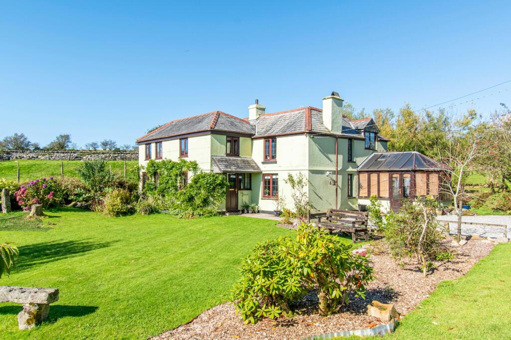
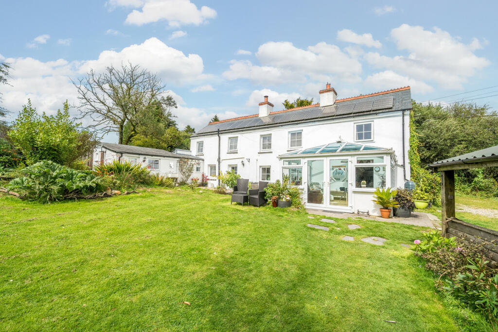
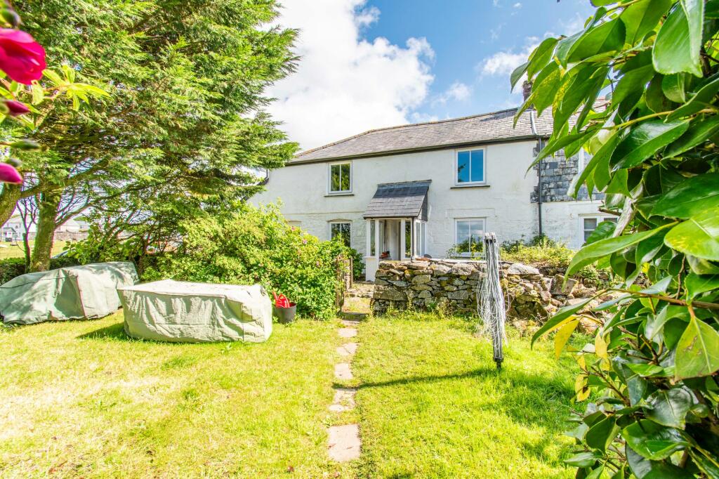
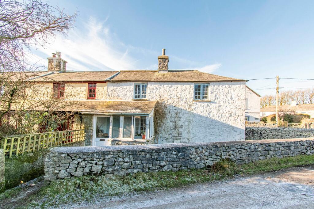
Buyer Information Report

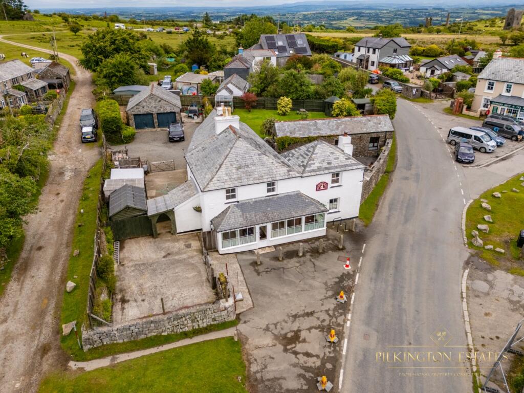
Minions, Liskeard, PL14

Key Facts
Title Plan
 We couldn’t find a title plan for this property.
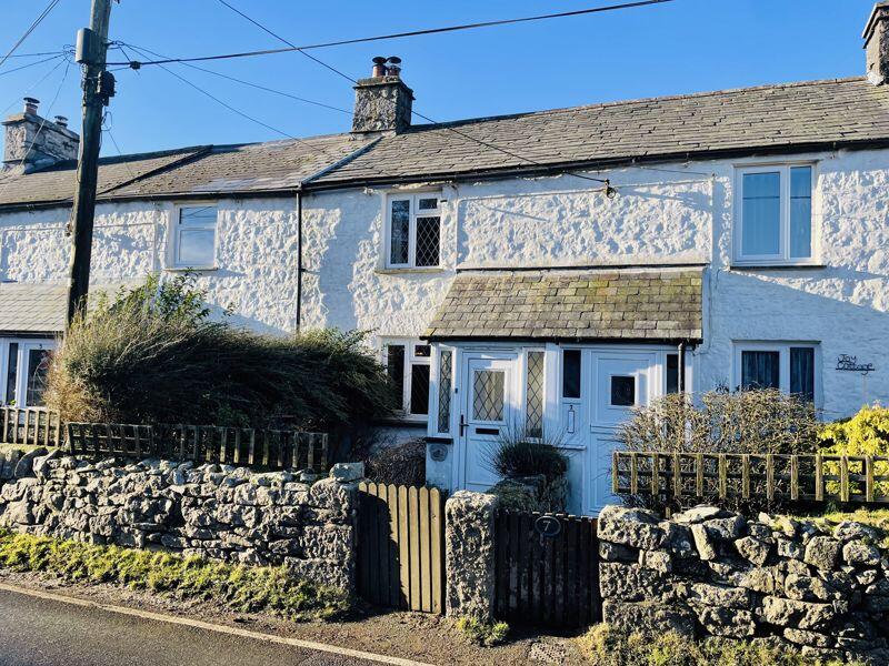
Street View
House Prices in Cornwall
Last 12 months
-
Average Price Change
£1,665
Decreased by 1%
-
Detached Price Change
£2,985
Decreased by 1%
Average House Prices
Last 12 months for all property types.
Since - May 2020
-
Average Price Change
£54,431
Increased by 24%
-
Detached Price Change
£80,623
Increased by 23%
Average House Prices
Since 2020 for all property types
EPC

EPC Information
Details taken from the EPC register
- Date
- 2024-12-04
- Valid Until
- 2034-12-03
- Energy Efficiency - Current
- 47
- Energy Efficiency - Potential
- 80
- Environmental Impact - Current
- 65
- Environmental Impact - Potential
- 91
Properties For Sale in the Area
Minions
0.11 km away
Minions
0.13 km away
Minions
0.19 km away
Princes Row
0.21 km away
Minions Row
0.23 km away
Minions
0.26 km away
Properties To Let in the Area
We couldn’t find properties to let in the area for this property.
Schools
| Name | Type | Postcode | Distance | Rating |
|---|---|---|---|---|
| Darite Primary Academy | Primary | PL14 5JH | 1.44 km | Good |
| Upton Cross Academy | Nursery, Primary | PL14 5AX | 2.45 km | Good |
| St Cleer Primary Academy | Nursery, Primary | PL14 5EA | 2.68 km | Not rated |
| Pensilva Primary School | Primary | PL14 5PG | 3.06 km | Not rated |
Transport
Bus Stops & Stations
Details provided by Department for Transport
| Name | Distance |
|---|---|
| Post Office | 0.27 km |
| Methodist Chapel | 0.32 km |
| Phoenix Farm | 1.20 km |
Train Stations
Details provided by Department for Transport
| Name | Distance |
|---|
Coverage
- Average Broadband Speed:
-
4mb Basic
-
75mb Superfast
-
75mb Overall
- Mobile Coverage:
-
EEOkay
-
O2Good
-
ThreeOkay
-
VodafoneOkay
Recently Sold Properties in the Area
| Address | Property Type | Distance | Price | Completed |
|---|---|---|---|---|
|
2 Minions Row Minions, Liskeard, PL14 5LW |
Terraced | 0.21 km away | £247,000 | 9 months ago |
Important Notice - This report is intended for general informational purposes only and should act only as a guide. The report is produced automatically on behalf of Parkes and Pearn - Parkes and Pearn by Street Insights, a product of Street Systems Ltd. Street Systems maintains and aggregates data from multiple public data sources and whilst every effort is made to keep information up to date and accurate, we make no representations or warranties of any kind about the accuracy, reliability or completeness of the information contained within this report for any purpose. Any reliance you place on the data contained within this report is strictly at your own risk. In no event will Parkes and Pearn - Parkes and Pearn or Street Systems Ltd be liable for any loss or damage including without limitation, indirect or consequential loss or damage, or any loss or damage whatsoever arising from loss of data or profits arising out of, or in connection with, the use of this report.
This report contains public sector information licensed under the Open Government License v3.0
Transaction data and HPI data is produced by HM Land Registry. Crown copyright and database rights 2025